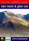
|
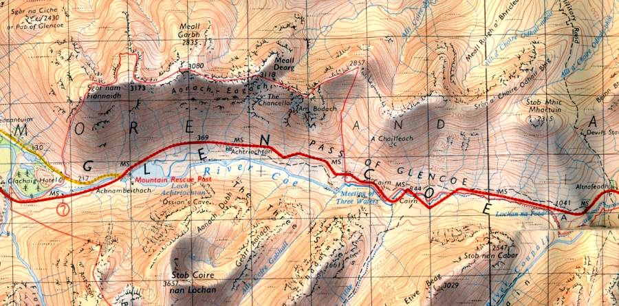
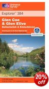
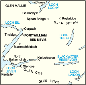
Map
of the Aonach Eagach Ridge
|
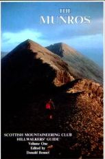
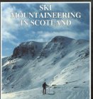
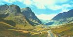
Aonach
Eagach - Route Description:-
Location: Aonach
Eagach, Lochaber
Grade: Serious mountain scramble
Distance: 6 miles / 9.5km -
Time: 6-8 hours
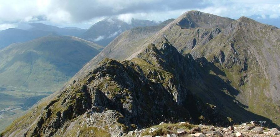
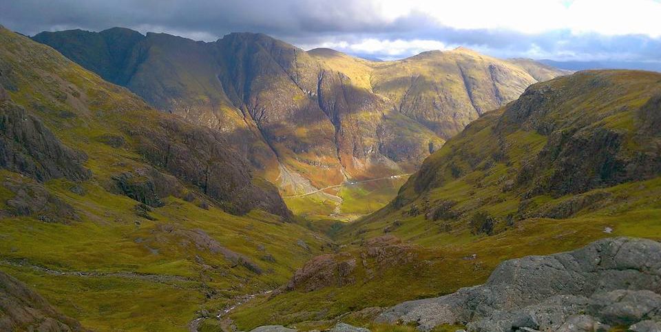
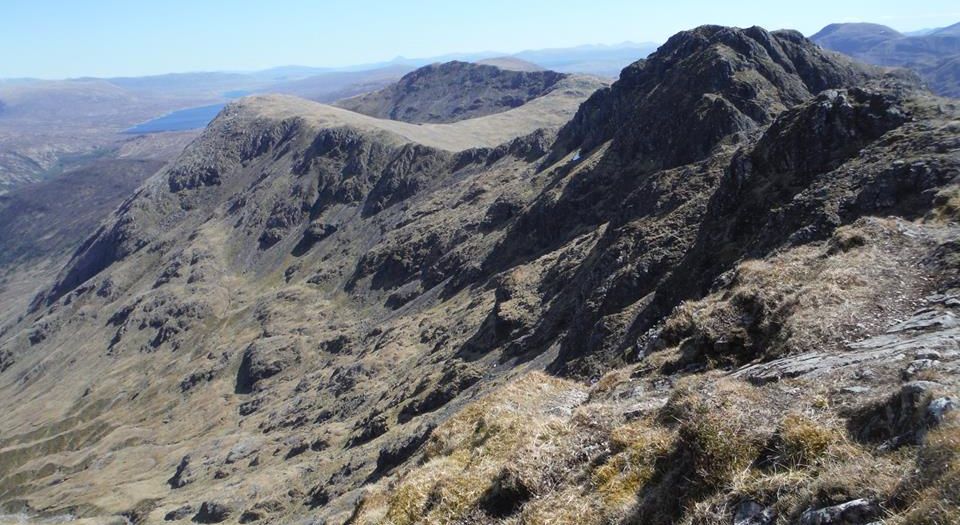
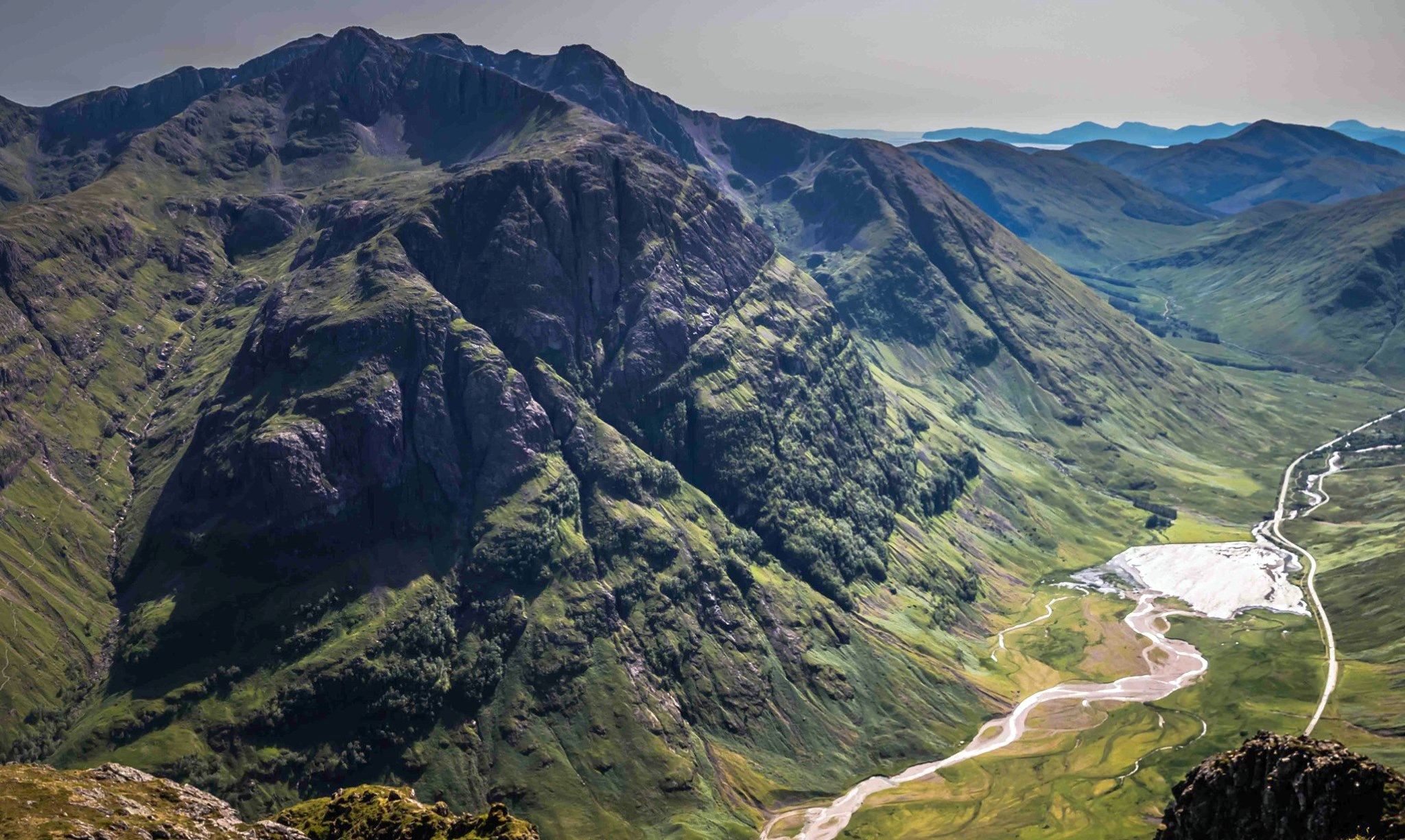
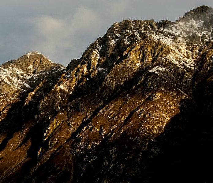
The serrated
edge of the ridge looked as though it was tearing the clouds apart as
the wind blew them over the crest,
Swirling masses of mist curled into the sky and each time a gap was
torn in the cloud the long fin of rock,
grass and scree appeared dramatically before us. On the best of days
the Aonach Eagach can be a daunting sight.
On a day like this it looked darkly threatening. The traverse of
the Aonach Eagach, the notched ridge, is one of the
classic scrambles of Scotland but the tightrope route along its narrow
crest has been the nadir in the fortunes of
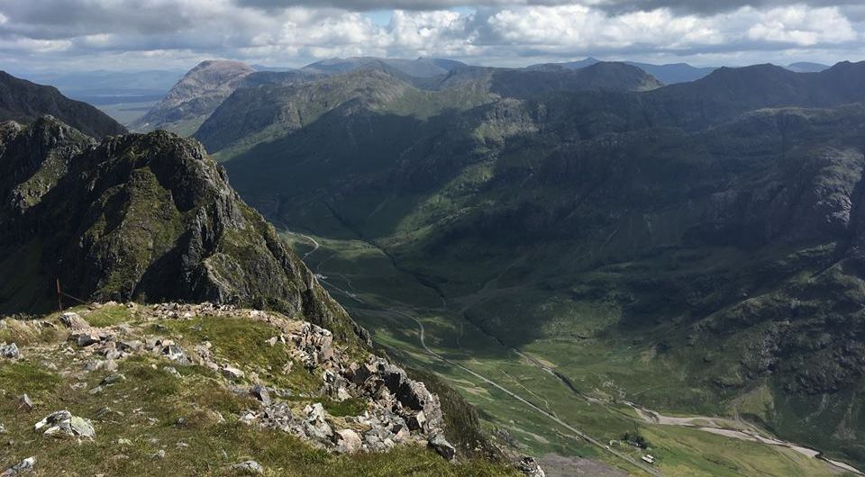
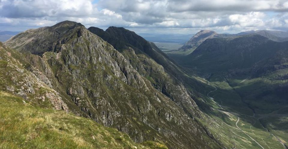
many a Munrobagger. As ]ohn and I climbed the hill above Glen Coe I
suggested that other than the initial
descent onto the ridge from the first summit, Am Bodach, the rest of
the route was a doddle. It's curious how
selective the memory can be. Almost 4km in length and boasting four
summits, two of which are Munros,
the Aonach Eagach forms the north wall of Glen Coe. There used to be a
sign warning hillwalkers not to
try to descend from the ridge itself — it's long since gone but I guess
such a descent would pose more difficulties
than the traverse. As if to prove the frailties of my memory we nipped
down the ledges and grooves of the descent from Am
Bodach onto the ridge like mountain goats. Generally considered the
crux of the route, it is in effect a 20 metre
dropoff that looks much worse than it actually is. We were on the crest
of the ridge in no time, striding purposefully
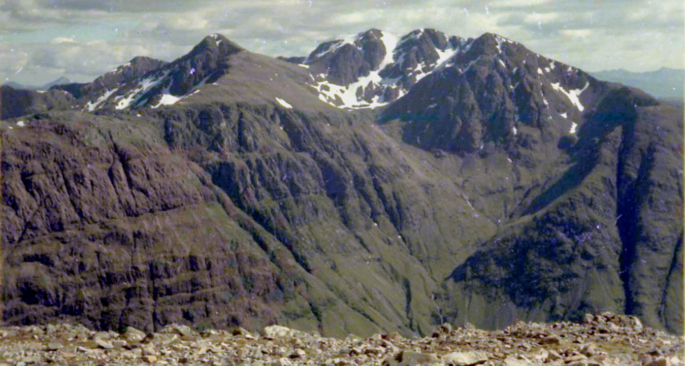
along the fairly easy gradient to a top beyond which lay the slopes of
Meall Dearg, at 3127ft/953m, the last Munro
summit of the Rev A.E. Robertson, the first person to climb all the
3000’ers back in 1901.
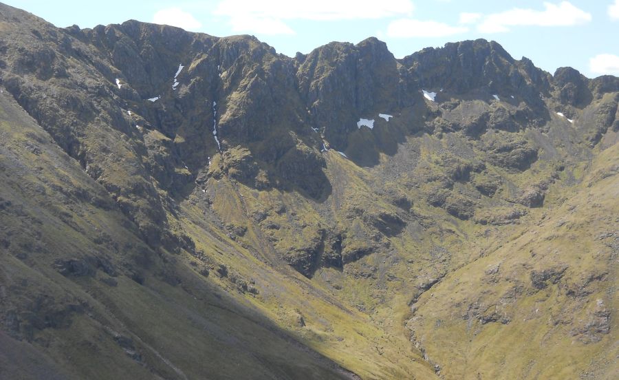
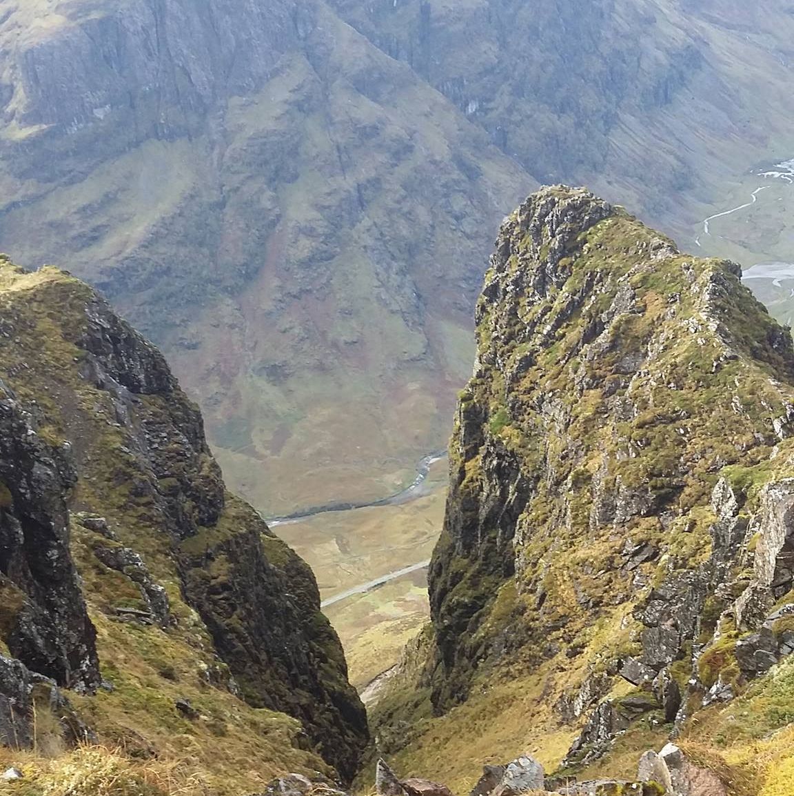
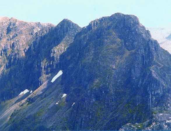
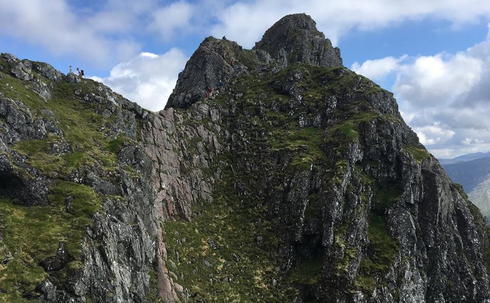
Between Meall Dearg and Stob Coire Leith, a number of rocky towers, the
‘Crazy Pinnacles’, bar
straightforward progress. While the path and the crampon marks of
generations of climbers make route- finding
relatively straightforward, we quickly realised we weren't going to get
things all our own way. The rocks were greasy
and slippery in the autumnal dampness and the narrow chimneys and
gullies, so delightful in dry, summer conditions,
were muddy and wet. Everything seemed steeper and harder than I
remembered it, but nevertheless, the exposure and the
scrambling were exhilarating and we were both mildly disappointed when,
with the last of the pinnacles behind us,
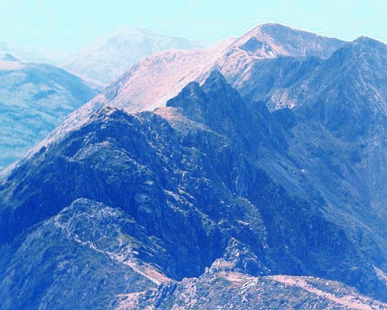
all that was left was a rather steep trudge on to Stob Coire Leith.
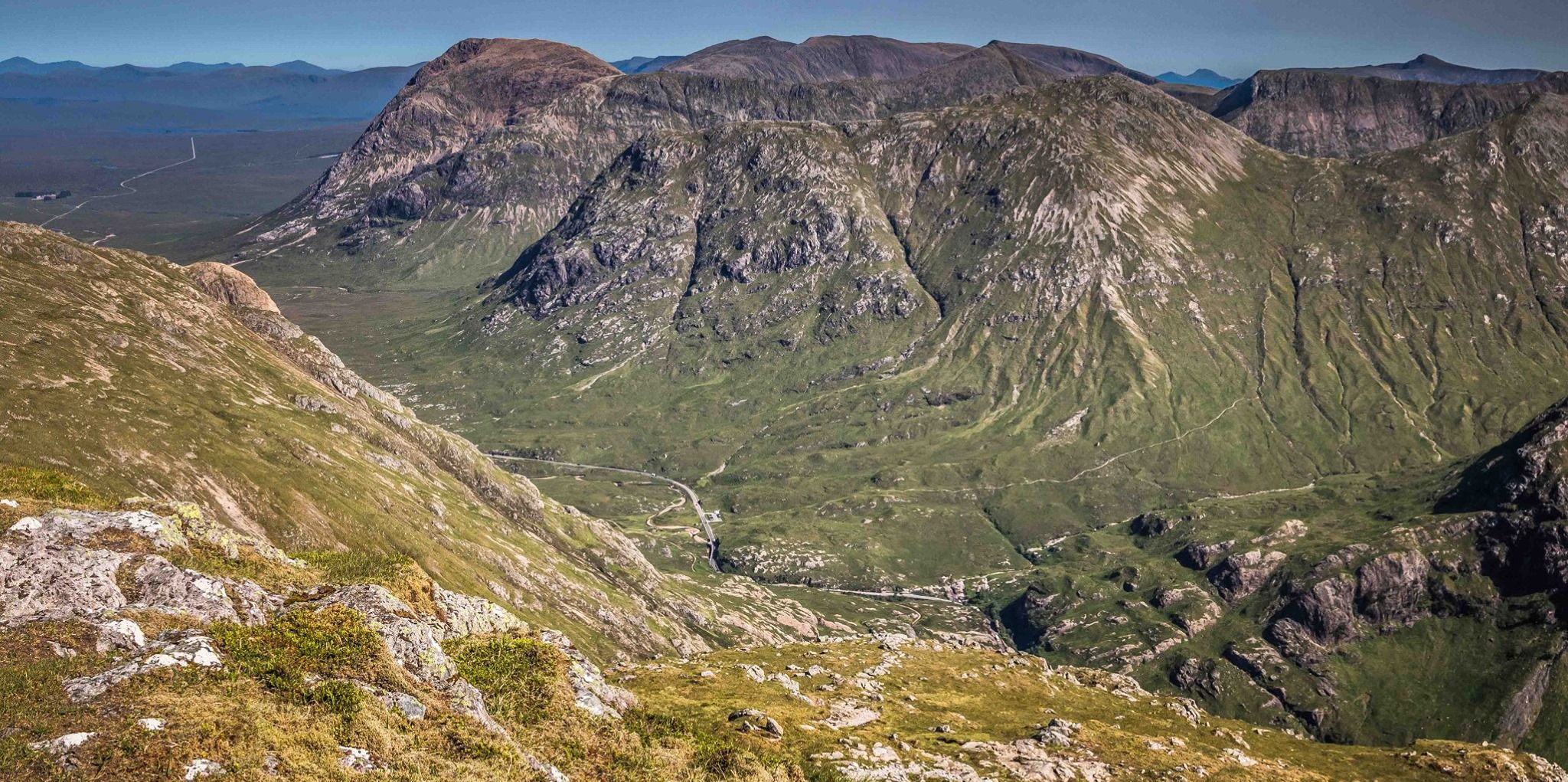
From there it was an easy walk on a broad ridge
to the second of the ridge’s Munros, Sgorr nam Fiannaidh, 3 17
3ft/ 967m.
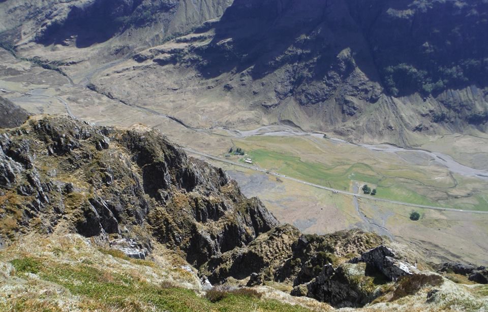
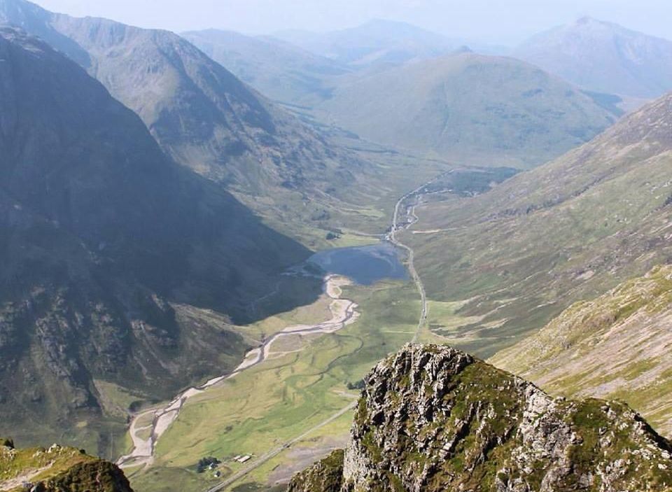
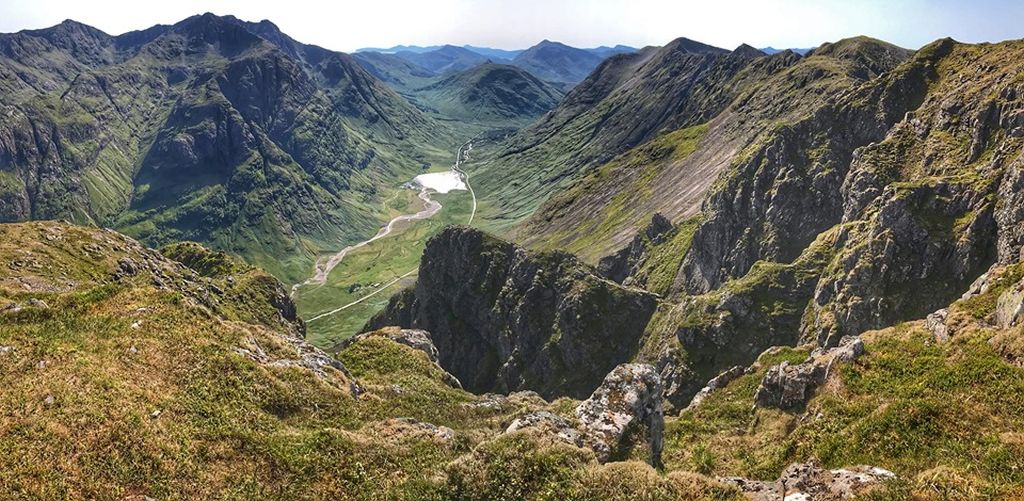
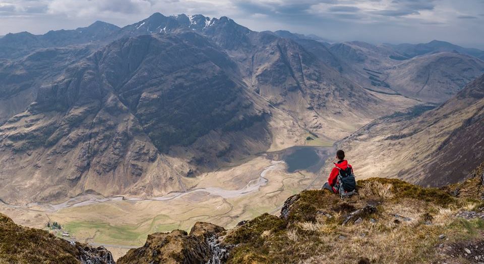
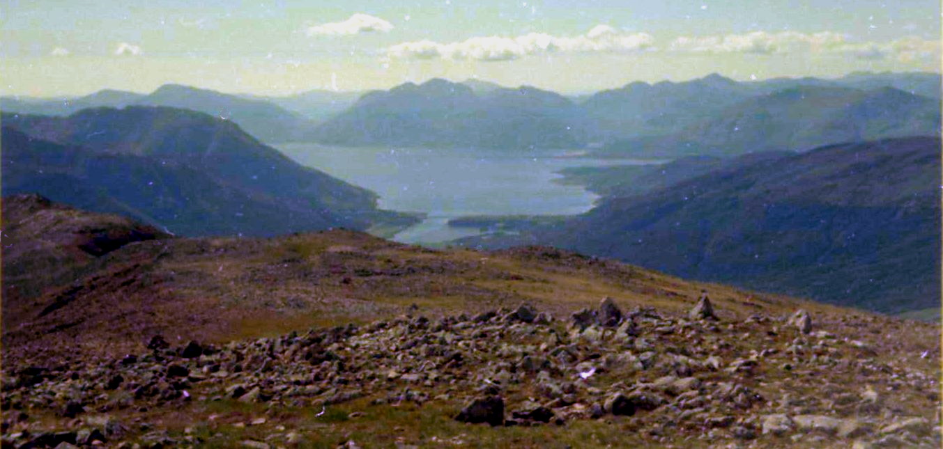
From the summit of Sgorr nam Fiannaidh there are several descent
options but with the sun just managing to pierce
the grey clouds we elected to stay high and continue to the logical end
of the ridge traverse, Sgorr na Ciche, the Pap of Glencoe.
We weren't being purist. A reasonable path runs down to the old Glen
Coe road from the Pap, a far preferable route
to the steep, scree-scabbed, knee-wrenching descent that drops to the
road parallel with the Clachaig Gully.
The only advantage to that route, the normal descent route from Sgor
nam Fiannaidh, is that it takes you straight
to the front door of the Clachaig Inn.
ROUTE PLANNER
Map: OS 1:50,000 Landranger Sheet 41 (Ben Nevis); Harveys 1:25,000 Superwalker Glen Coe
Start: Allt-na-reigh on A82 ( GR: NN176567 )
Finish: Glencoe village road at GR: NN115583
Distance: 6 miles/9.5km
Approx Time: 6-8 hours
Public transport: Citylink buses run along the A82 but do not usually stop between the Kings House Hotel and Glencoe Village.
Information: Fort William TIC, 01397701801
Route: Take the path behind the house of Allt-na-reigh up the grassy
slopes of Am Bodach to the summit.
Follow the edge of‘ the crags to the left of Am Bodach's cairn in a WNW
direction.
A sudden descent starts the ridge traverse proper.
Follow the ridge to Meall Dearg, descend steeply and then traverse the
row of rock towers, the Crazy Pinnacles.
Here and there subsidiary paths avoid the hardest of the scrambling.
The occasional fence post accompanies
you on the long pull to Stob Coire Leith, before the ridge levels out
towards Sgorr nam Fiannaidh.
From the summit follow the ridge in a NW direction, descend to a rocky
col and climb the slopes of the Pap of Glencoe.
Return to the col from where a path descends to the old Glen Coe
village road.
( NB: If you decide to descend beside the Clachaig Gully be aware this
path has a lot of loose stones
on it and there is a danger of knocking scree into the Gully where
climbers could be put in danger. )