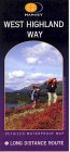
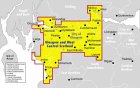
West Highland Way: Trailblazer Ochils and Campsie Fells

 The Trossachs

 Aberfoyle
West Highland Way - Map West Highland Way: Footprint Map
 

Photographs of Aberfoyle

 in The Trossachs Region of Scotland

Post Office in Aberfoyle

Post Office in Aberfoyle

The village of Aberfoyle is on the River Forth
 beneath Craigmore ( 420m ).

  The route into the Trossachs
from Aberfoyle
 is ove
r
the Duke's Pass


Craigmore from River Forth at Aberfoyle

Craigmore

from River Forth at Aberfoyle


Ben Lomond from the outskirts of Aberfoyle

Ben Lomond

from the outskirts of Aberfoyle


Clachan Hotel and Shops in Aberfoyle

Clachan Hotel and Shops

 in Aberfoyle


Houses in Aberfoyle

Houses in Aberfoyle


Church in Aberfoyle

Church in Aberfoyle


Church beneath Craigmore on outskirts of Aberfoyle

 Church beneath Craigmore

on outskirts of Aberfoyle


Aberfoyle Primary School

Aberfoyle Primary School


Mansion on outskirts of Aberfoyle

Mansion

on outskirts of Aberfoyle


Craigmore from River Forth at Aberfoyle

Loch Ard

on outskirts of Aberfoyle


Bridge over the River Forth at Aberfoyle

Bridge over the River Forth

at Aberfoyle


Aberfoyle from Menteith Hills

Aberfoyle

 beneath Menteith Hills


Rob Roy Motel at Aberfoyle

Rob Roy Motel
 at Aberfoyle


Gartmore House on the outskirts of Aberfoyle

Gartmore House on the outskirts of Aberfoyle

 
a country mansion house and estate
built in the mid-18th century for the Graham family
 on the site of an earlier house.

It is now a residential and conference centre.

It is a category "B" listed building


Map of Aberfoyle and surroundings

Map of Aberfoyle and surroundings

( Note: Click here or on above for large format copy )


Map of Aberfoyle and the Menteith Hills

Map of Aberfoyle

 and the Menteith Hills


Map of Aberfoyle and the Menteith Hills

Map of Aberfoyle

and the Menteith Hills


Map of Aberfoyle Trails

Map of Aberfoyle Trails


Route Description of Aberfoyle Walk

Route Description of Aberfoyle Walk


Map of the River Forth

Map of the River Forth


ABERFOYLE WALK DESCRIPTION:


This walk of about five miles and 3 hours duration around the Duke's Trail, a delightful route within the Queen Elizabeth Forest Park in Aberfoyle. It passes over the Duke's Road which was originally built by the Duke of Montrose around 1810 to improve access to his estate and later upgraded to accommodate the Victorian tourists drawn to the area before being opened to the public in 1931 when the Forestry Commission acquired the land.
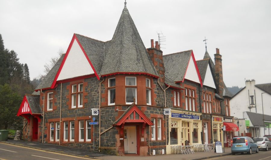
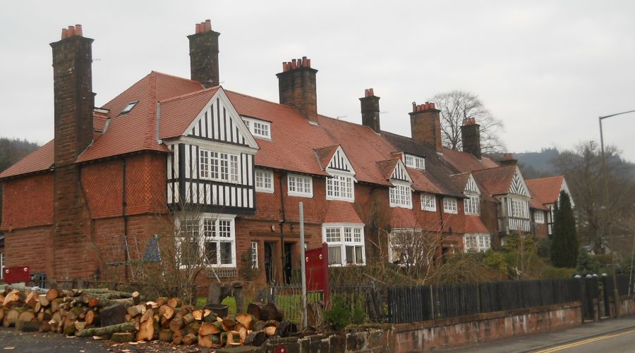
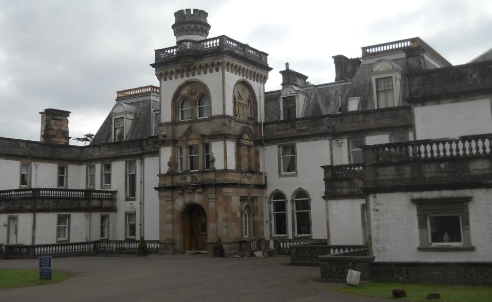
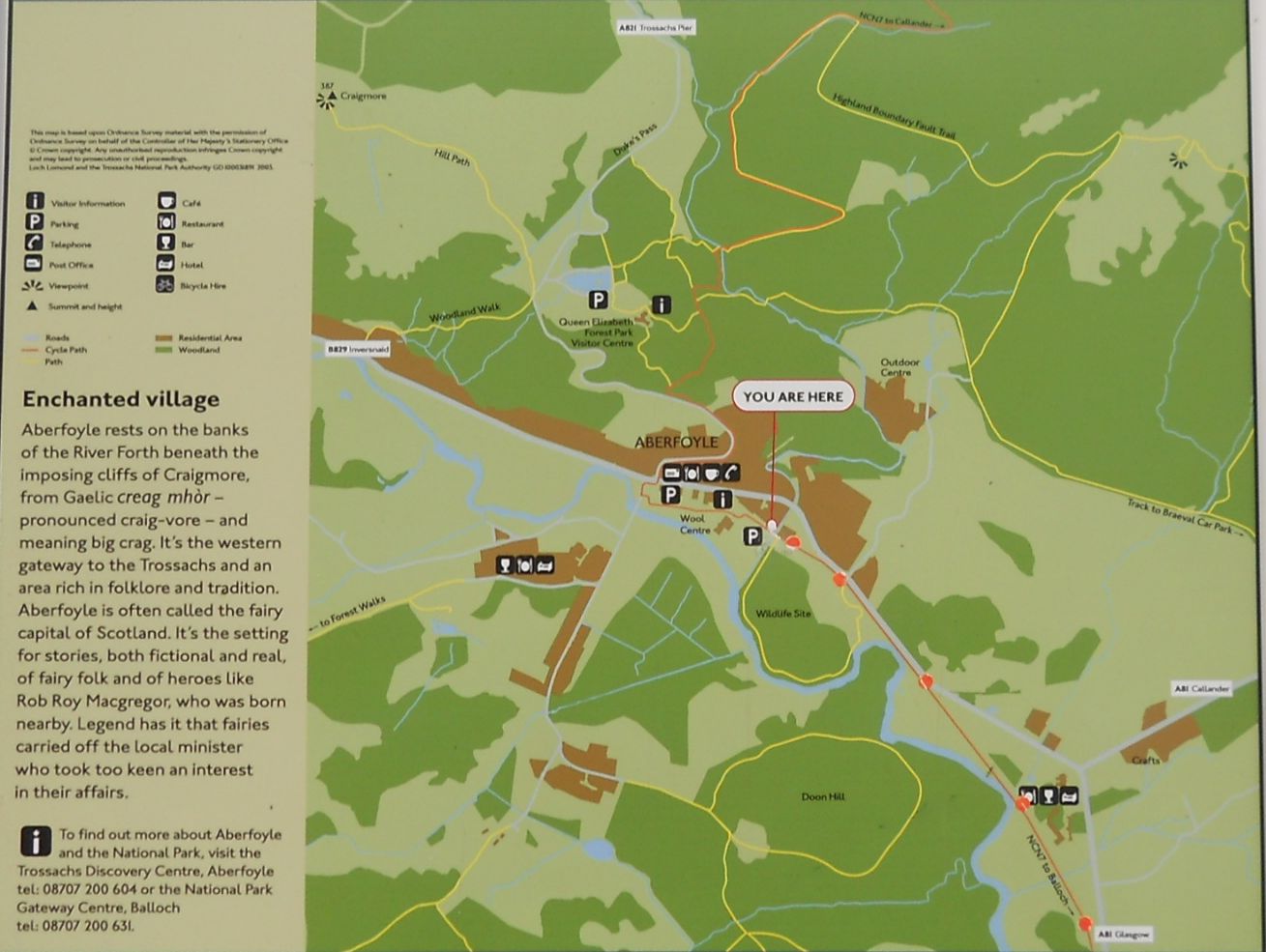
The walk starts from the Scottishwool Centre Car Park in Aberfoyle and after passing the Information Centre turns left into the main street.
Take care crossing, then continue left to the end of the shops to take a right turn onto the winding uphill A821 Duke's Road. Initially, the 
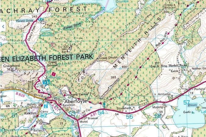
walk goes a relatively short distance uphill, first turning right then left as it passes Aberfoyle Bowling Club. Directly opposite the cycle sign it leaves the road on the right and climbs a set of slate steps onto a forest path signed to David Marshall Lodge.
There are numerous paths in the forest with coloured markerposts. The path for this walk follows initially a green marker as it bends round ( ignore the green marker to the right for the oak coppice trail ) to meet the cycle track NCN 7. It turns right and continues along the tarred cycle track, takes the first path on the left with a white, green, blue red marker, turns right at the deer sculptures and immediately after crossing the boardwalk turns sharp left uphill for the single blue marker of the Duke's Trail.
On this section look out for the Go-Ape participants as they travel along the overhead zipwires. It turns right just after the seat and follows uphill to the stream on the right to the Duke's Road. Take care crossing the road and follow the blue marker on the narrow path uphill on the other side.
The path then loops round the hillside in among the purple heather, drops down to cross over a wooden bridge and then back over the Duke's Road to enter the forest track on the blue marker. This is the turning point of the walk and looking back across the road the narrow path previously taken is not too clear while the visible path is the old wagon ways track used for transporting stone and slate.
The forest tmck gradually descends to the cross track junction. Straight across leads to Lime Craig another lovely trail on the single red marker while this walk turns right to follow the red/blue marker passing the waterfall viewpoint on the righth and enter the forest adventure area for the G0-Ape participants - a fascinating place to pause and watch. The walk turns right at the next junction and at the bottom of the hill takes the detour path on the left to the wildlife hide where there is the chance of spotting red squirrels at their feed boxes.
Afler crossing the bridge, another short detour worth taking, is to the right for the spectacular Little Fawn Waterfall particularly after a rainy spell. The walk returns to the bridge and continues ahead on the (w) (g) (b) marker along the side of the stream then takes the next junction on the right onto the cycle track with the single (g) marker. lt passes by the (g) marker on the left at the direction post and exits the forest onto the Duke's Road from the cycle track to retrace the steps back to the car park.


  Aberfoyle & Menteith Hills Gallery Photo Gallery 

<< Back  : Bearsden Walks Index : Next >>


Scotland Index :: Scottish Peaks :: Scotland Walks

Glencoe | Ben Nevis | Knoydart | Isle of Skye | Isle of Arran

The Eastern Highlands | The Central Highlands | The Southern Highlands | The NW Highlands


Adventure Travel : Worldwide Mountaineering : Site Index

fb icon  google+ icon Linkedin icon  twitter


Guide Books & Maps - Scotland:-


West Highland Way: Footprint MapWest Highland Way - Map West Highland Way - Map Western Scotland & the Western Isles OS Road Map Northern Scotland OS Road MapSouthern Scotland OS Road Map Glasgow Popular Hills - Map


Ochils and Campsie Fells

Glasgow Visitor Guide - Colin Baxter Itchy Insider's Guide to Glasgow Glasgow Footprint Pocket Guide Glasgow Insight Pocket Guide Glasgow Guide Pub Companion Glasgow Scotland's Highlands & Islands - Rough Guide Scotland - Rough Guide

Glasgow Insight Pocket GuideCollins Street Map of GlasgowGlasgow: Then & NowThey belonged to Glasgow Phillips Street Atlas of Glasgow & West Central Scotland Glasgow: The Photographic Atlas100 Hillwalks around Glasgow 50 Walks in Glasgow & SW Scotland

Visit Scotland - Touring Guide Scotland: Where to Stay - Hotels & Guest Houses Scotland: Where to Stay - Bed & Breakfast Rough Guide ScotlandScottish Highlands & Islands - Rough Guide Scotland - Lonely PlanetScotland's Highlands & Islands - Lonley Planet Great Glasgow StoriesGlasgow & Surroundings - Insight Guide

West Highland Way: Official GuideWest Highland Way: Rucksac ReadersWest Highland Way: TrailblazerThe West Highland WayWest Highland Way: Footprint MapWest Highland Way - Map West Highland Way - Map West Highland Way Wet Highland Way - Official Guide

Munro Almanac The High Mountains of Britain and Ireland The Munros: Scottish Mountaineering Club The Isle of Skye The Isle of Arran Wilderness Walks Ski Mountaineering in Scotland

More Wilderness Walks 50 Best Routes on Skye and Raasay Skye - W.A.PoucherMagic of the Munros Mountaineering in Scotland and Undiscovered Scotland by W.H.MurrayA Long Walk on the Isle of Skye

Classic Climbs - Central & Southern Highlands The Isle of Arran Lonely Planet, Walking in ScotlandPathfinder Guide: Skye and NW Highlands WalksPathfinder Guide: Fort William and Glen Coe Walks Rambler's Guide: Ben Nevis and Glen Coe50 Best Routes on Skye and Raasay - Chris Townsend


Google Analytics


Google Analytics

extremetracking
 eXTReMe Tracker


extremetracking
Sitelock caingram.com
SiteLock
Sitelock
Sitelock caingram.info
SiteLock
Sitelock