  |
Linlithgow Beecraigs Country Park
|
|
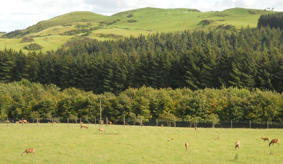
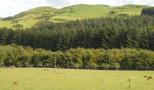
Deer in Beecraigs Country Park The
370 hectare Country Park
is located in the Bathgate Hills above the historic town of Linlithgow. Facilities available include woodland walks & trails, a childrens' play area, BBQ and picnic areas and a Ranger Service. The Park is a AALA licensed outdoor activity centre for:- hillwalking, target & field archery, canoeing & kayaking, rock-climbing, ski-ing, orienteering, pioneering and team building sessions. In the Park there are Highland Cattle and Red Deer. Fly-fishing is allowed on Beecraigs Loch and there is a caravan & camping site. Cockleroy Hill offers superb panoramic views over the surrounding countryside. |
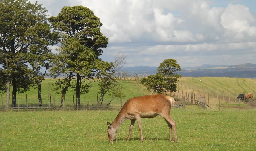 Red Deer |
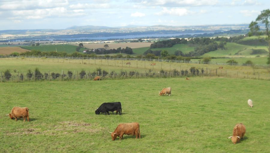
Highland Cattle |
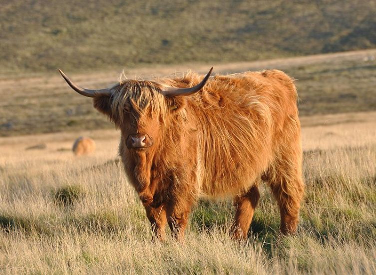
Highland Cattle |
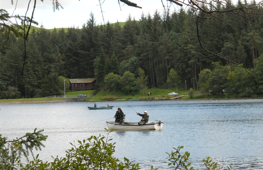
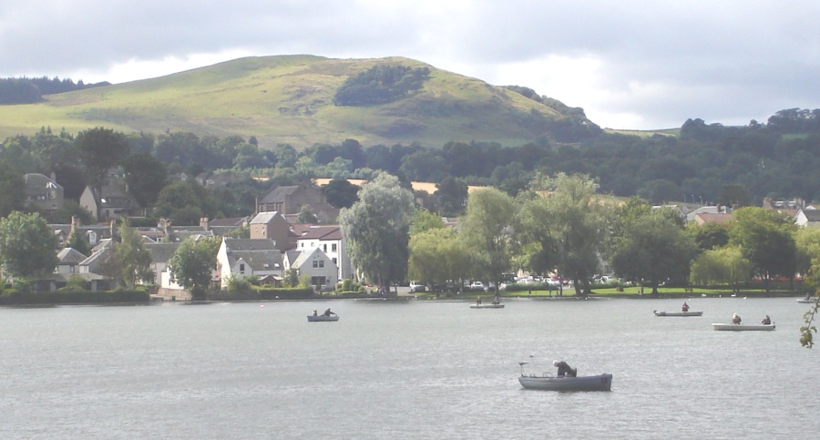
Fly-fishing on
Beecraigs Loch |
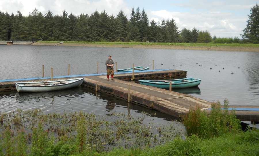 Jetty
on
Beecraigs Loch
|
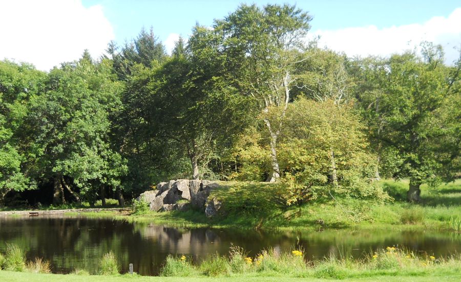 Pond
at the BBQ area
in Beecraigs Country Park |
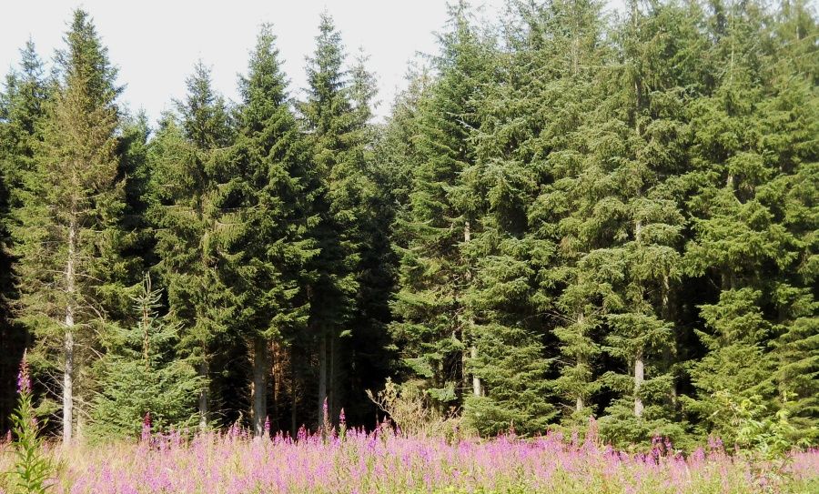 Woodlands
in Beecraigs Country Park |
 Linlithgow and the Firth of
Forth
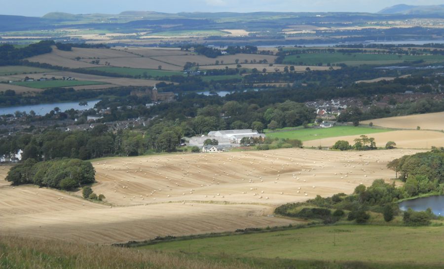
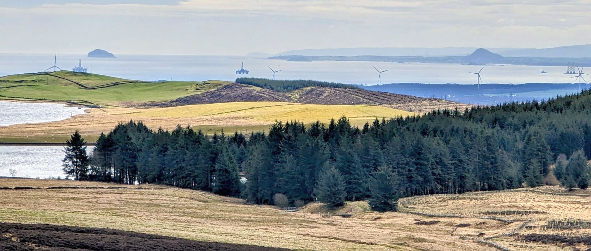
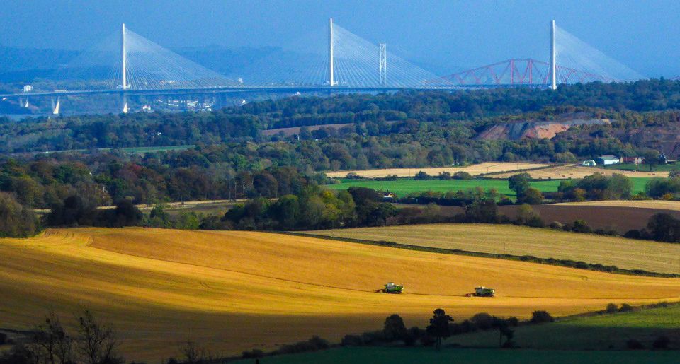
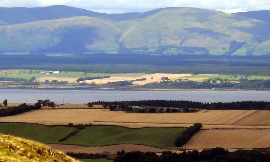
from Cockleroy Hill in Beecraigs Country Park From the summit there are excellent views over the Forth valley. On a clear day the view stretches from Arran in the West to the Bass Rock in the East. Other visible landmarks include:- Ben Lomond, The Campsie Fells, The Ochils, the Forth Bridges |
 Linlithgow and the Firth of
Forth
from Cockleroy Hill in Beecraigs Country Park From the summit there are excellent views over the Forth valley. On a clear day the view stretches from Arran in the West to the Bass Rock in the East. Other visible landmarks include:- Ben Lomond, The Campsie Fells, The Ochils, the Forth Bridges |
 |
 |
 Cockleroy
Hill above Linlithgow
|
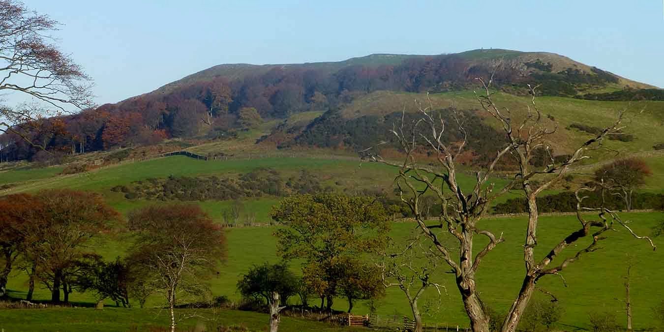 Cockleroy
Hill above Linlithgow
|
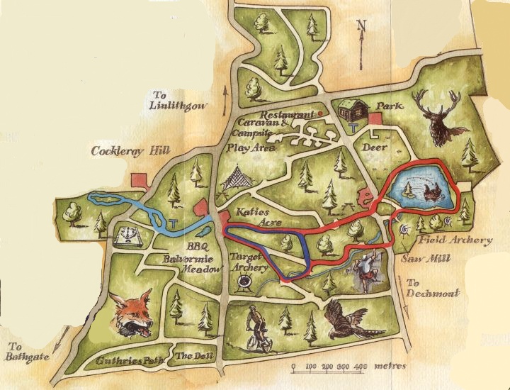
Plan of Beecraigs Country Park |
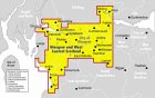
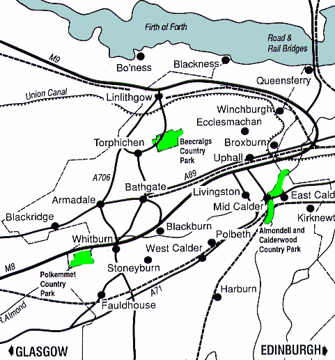 Location
map for Beecraigs Country Park
|
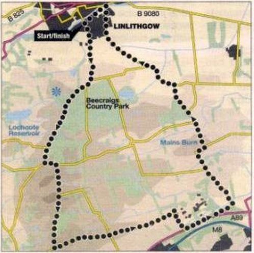 Route
Map of a cycle run
around Beecraigs Country Park |
BEECRAIGS COUNTRY PARK - CYCLE RUN - ROUTE DESCRIPTION:
BEECRAIGS COUNTRY PARK - MOUNTAIN BIKING:
The forest trails around Beecraigs Country Park are a joyous spot for cycling, offering restorative tranquillity amid a cathedral of
towering Scots pine, Sitka spruce and conifers.
There is a choice of mountain bike routes: green ( easy ), blue ( moderate ) and red (difficult ), as well as a dedicated skills area.
The surrounding Bathgate Hills — nicknamed the “Bathgate Alps” — are a popular haunt among cyclists seeking to challenge
themselves on the steep climbs.
The area’s many historical and natural landmarks include neolithic henge Cairnpapple ( a Historic Scotland site open April to September ),
as well as Cockleroy Hill, the former Hilderston Silver Mine and the distinctive crag-and-tail landform of The Knock.
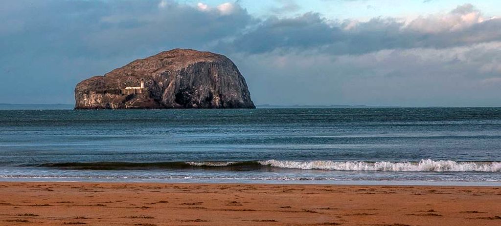
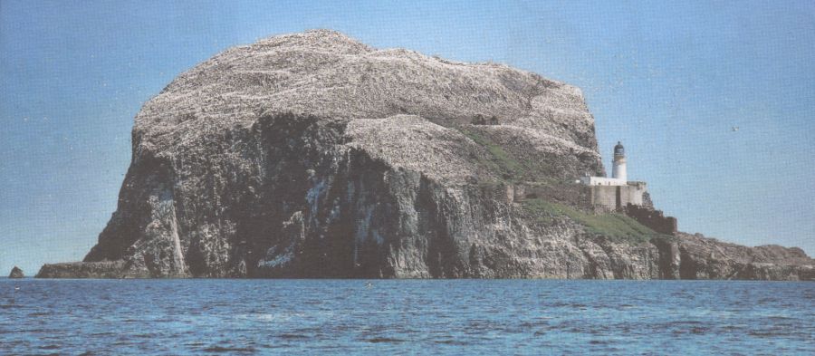 The
Bass Rock in the Firth
of
Forth
is visible from Cockleroy Hill The Bass ( 107m, 351ft high ) is an uninhabited, sheer-sided volcanic rock outcrop that is home to a large colony of gannets. |
 The
Bass Rock in the Firth
of
Forth
is visible from Cockleroy Hill |
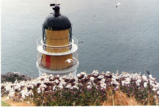 Lighthouse
and gannets
on The Bass Rock |
Glencoe | Ben Nevis | Knoydart | Isle of Skye | Isle of Arran | The West Highland Way
The Eastern Highlands | The Central Highlands | The Southern Highlands | The NW Highlands