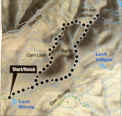
Location:
Perthshire
Map: OSLandranger 43
Distance: 13miles / 22km
Time: 6 - 8 hours
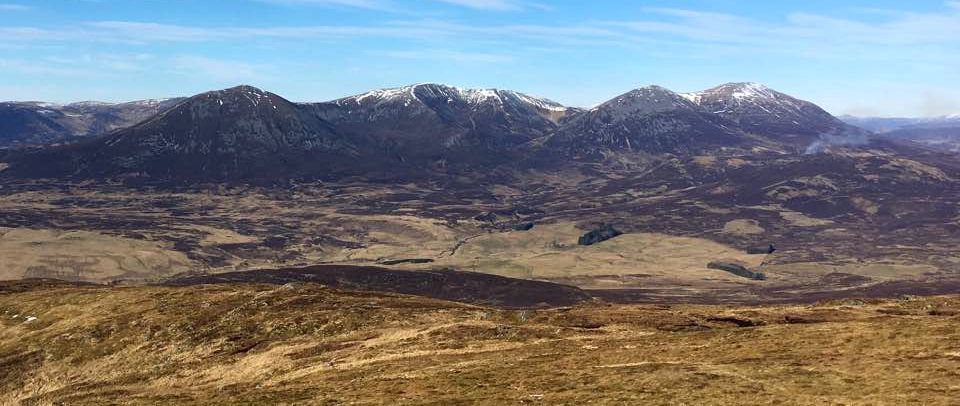
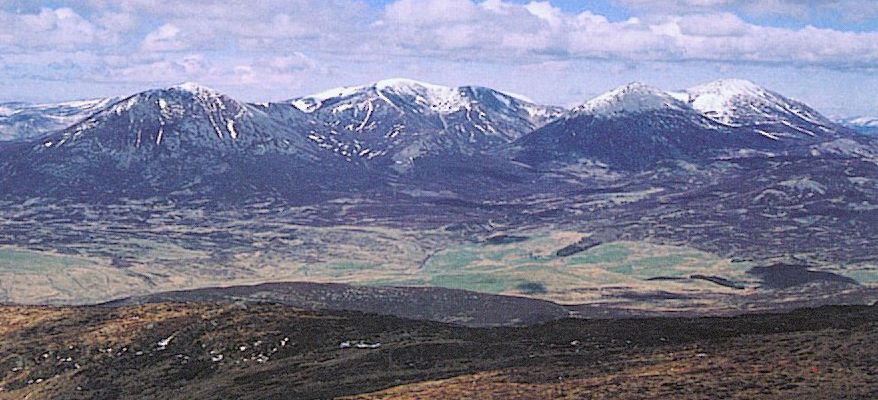
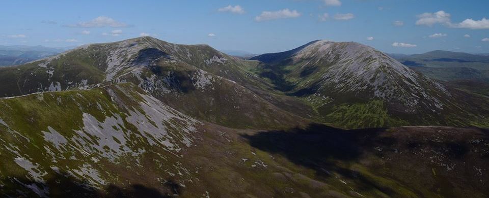
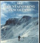
Terrain: hill paths Collectively known as Beinn A’ Ghlo, the
triumvirate of Cam Liath, Braigh Coire Cbruinn-bhalgain and the highest
of the three, Cam nan Ghabhar ( 1121m; 13678ft ) lie within the
Caimgorms National
Park.
In clear weather the walk over Beinn A‘ Ghio is a delightful high-level
stravaig over some of the best ridges in the Grampians, but when the
cloud is down and visibility is reduced navigation becomes complex.
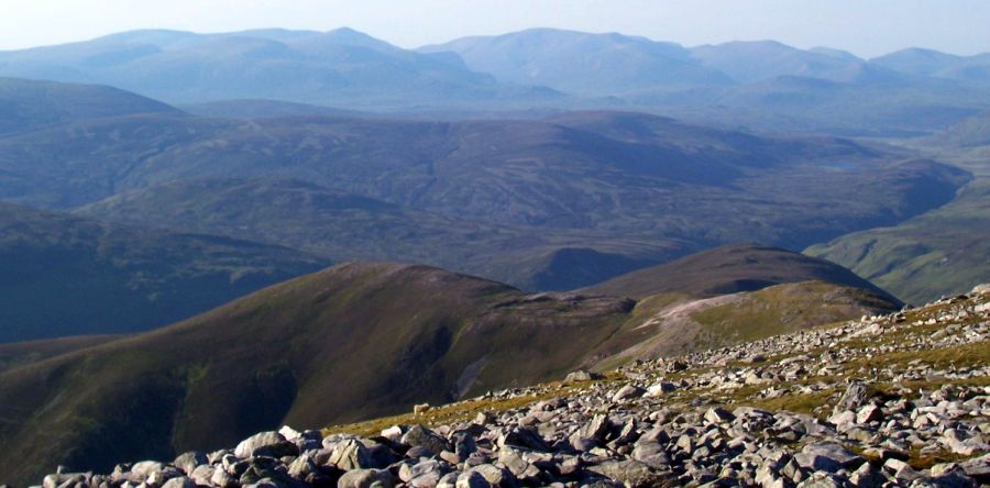
There are no fewer than 19 corries on Beinn A’ Ghlo and the summits are
formed by the apexes of an elaborate system of ridges and interlinking
shoulders.
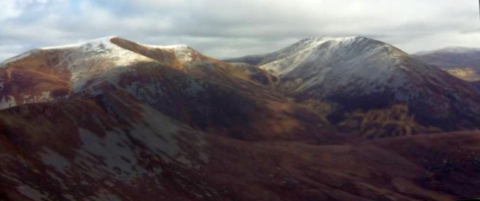
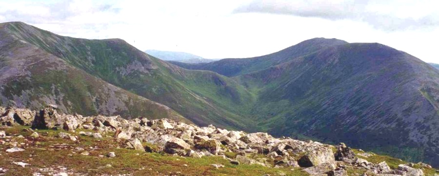
After climbing north-east on the path up Carn Liath to the summit
cairn, the complexity of Beinn A’ Ghlo’s corries and ridges became
evident. A broad ridge falls away northwards before narrowing
appreciably and swinging to the east to end abruptly on what appears to
be the blunt nose of Beinn Mhaol, an intermediary top. What you can't
see from Cam Liath is the ridge twisting north again beyond Beinn Mhaol
before dropping down to a high, pinched col below the south-west ridge
of Braigh Coire Chruinn-bhalgain. The route climbs steeply from here,
joining the hill's south ridge, before rising gently to the rounded
summit. Despite its wonderful name and the beautifully sensuous lines
of its ridges, the meaning of Braigh Coire Chruirm-bhalgain is
disappointingly prosaic - the
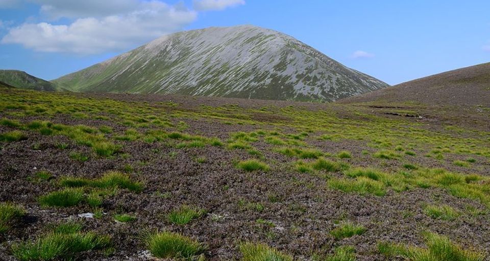
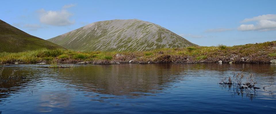
upland of the corrie of round blisters, Cam nan Gabhar ( the hill of
the goats ) at first looks isolated from the others by a deep, steep
walled glen, but less than a kilometre from the summit of Braigh Coire
Chruinn-bhalgain a high bealach, like a mighty drawbridge between the
mountains, gives easy access to the col between Cam nan Gabhar and
another of its
outliers, Airgiod Bheinn ( the silvery hill ). From the col it’s an
easy walk over quartzite boulders to the first of three eairns. The
highest is the furthest away, beyond the OS trig point. Return by
descending the steep south-west nose of Airgiod Bheinn and following
the footpath back over the moors to the Loch Moraig track. Route:
Leave the parking place, go through a gate and follow the track for
about 2km to a couple of small huts,
Crossa boggy area and climb NE to the summit of Cam Liath.
Follow the twisting ridge initially N over Beinn Mhaol and down to the
narrow col.
A well-worn path continues NE, then N to the summit of Braigh Coire
Chminn-bhalgain.
Continue NE for 1km before dropping down grassy slopes to cross the
bealach Na Fhiodha.
Climb roughly E to reach the high col between Airglod Bheinn and Cam
Nan Gabher.
Climb the latter, retrace your steps to the col and climb Airgiod
Bheinn, descending its steep SW ridge to a rough path which takes you
across the heathery moors to a track between Glen Gimaig and Loch
Moraig.
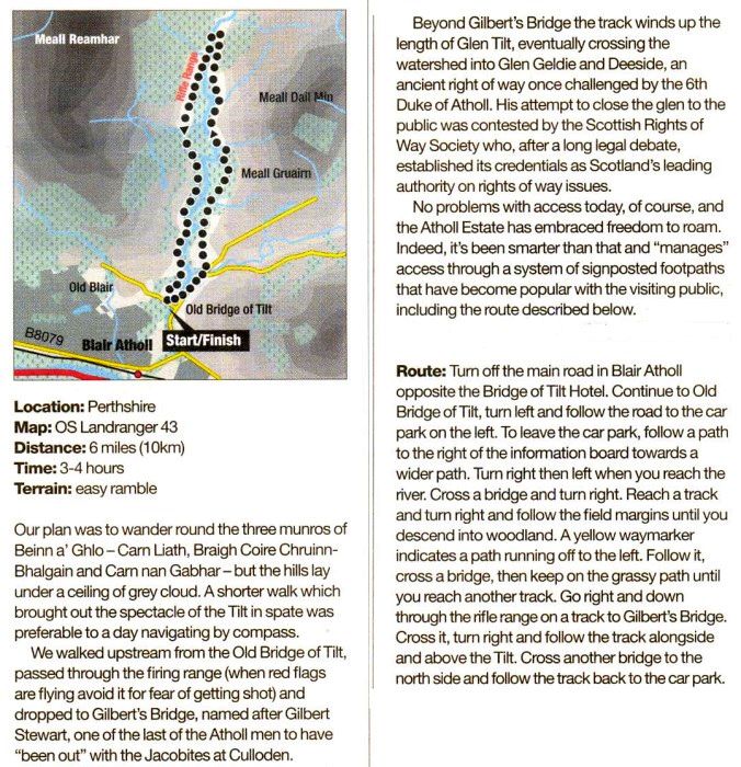
Route
description and Map
of Glen Tilt circuit
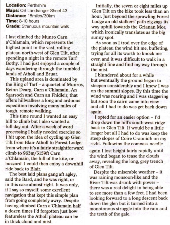
Route
description for Carn a Chlamain
Route
description for Carn a Chlamain
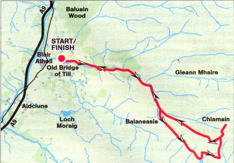
Route Map
for Carn a Chlamain
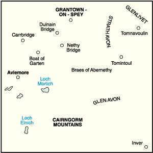
Location
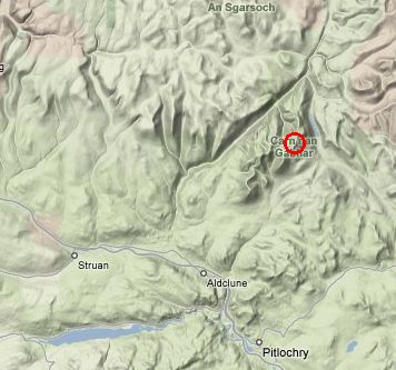
map for Beinn a Ghlo
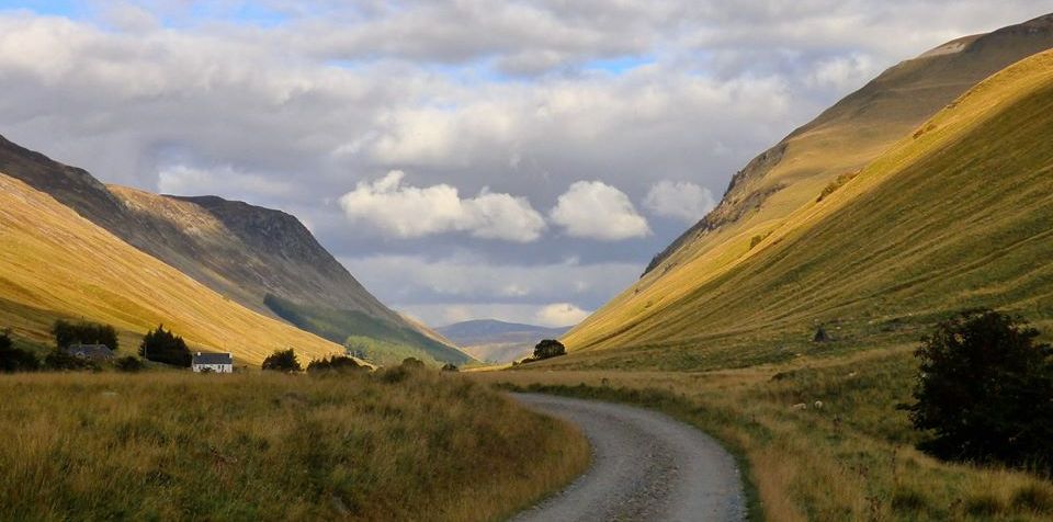
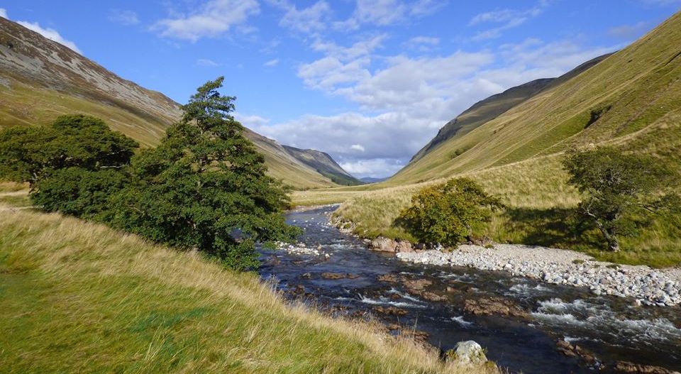
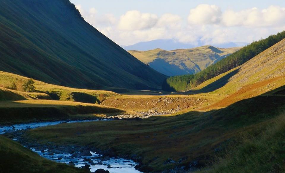
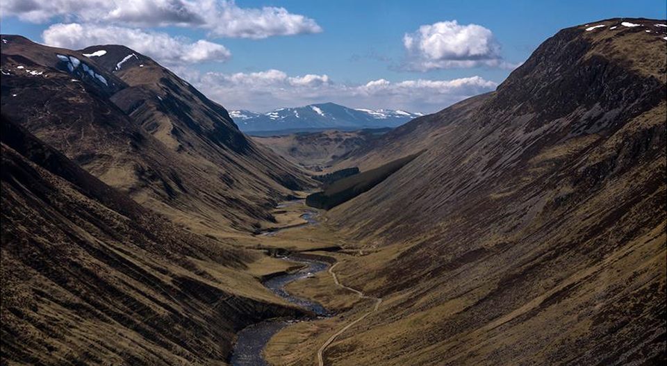
Glen
Tilt
Glen
Tilt
Glen
Tilt
Glen
Tilt
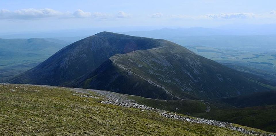
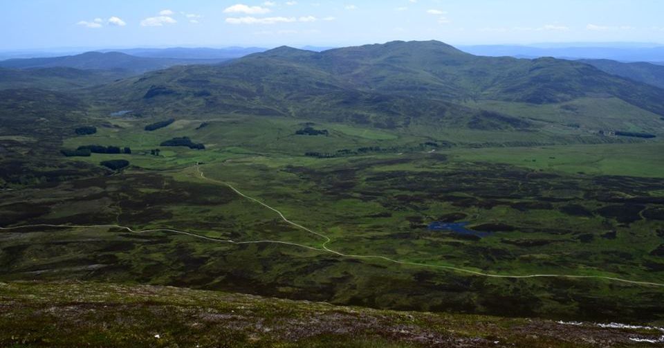
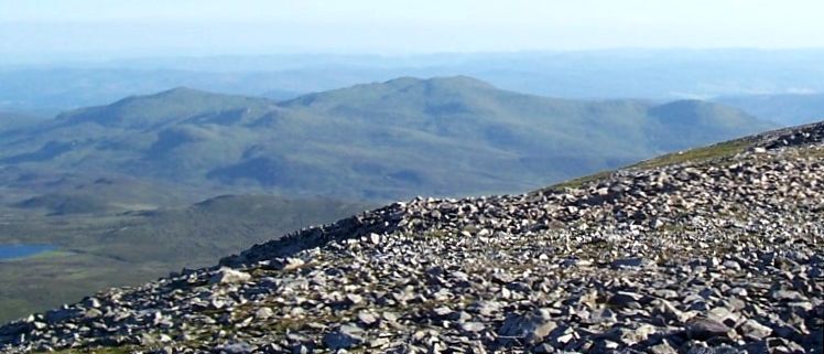
Ben
Vrackie ( " Speckled
Mountain " ) from Beinn a Ghlo
Ben
Vrackie ( 2759ft ) is a Corbett
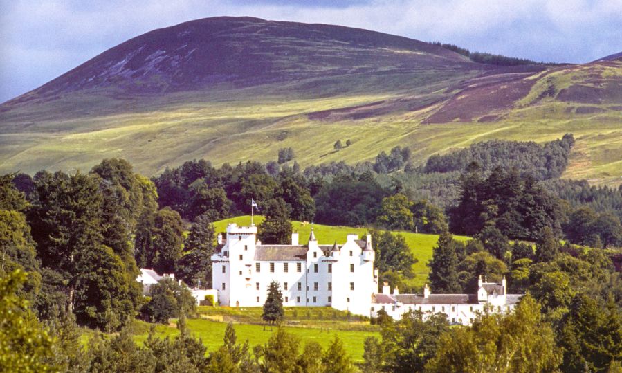
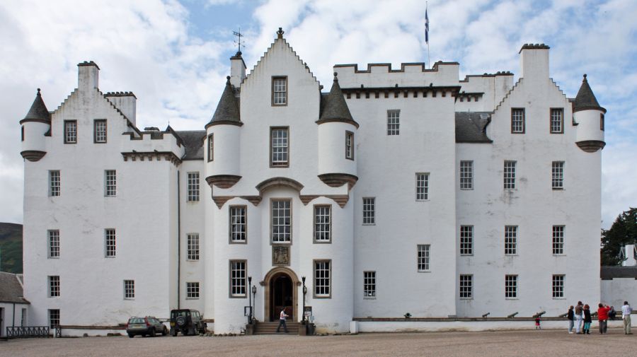
Blair
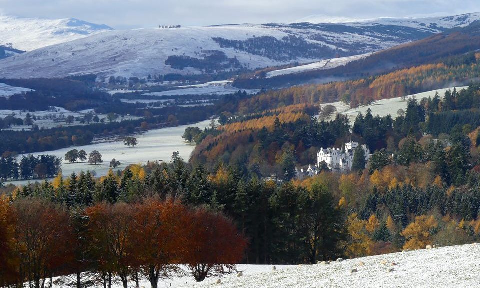
Castle at Blair Atholl
The
Castle is the home of the Clan Murray.
It is one of Scotland's
major stately homes and open daily to visitors. The
many rooms feature important collections of weapons,
hunting trophies
and souvenirs of the Murray clan.