  |
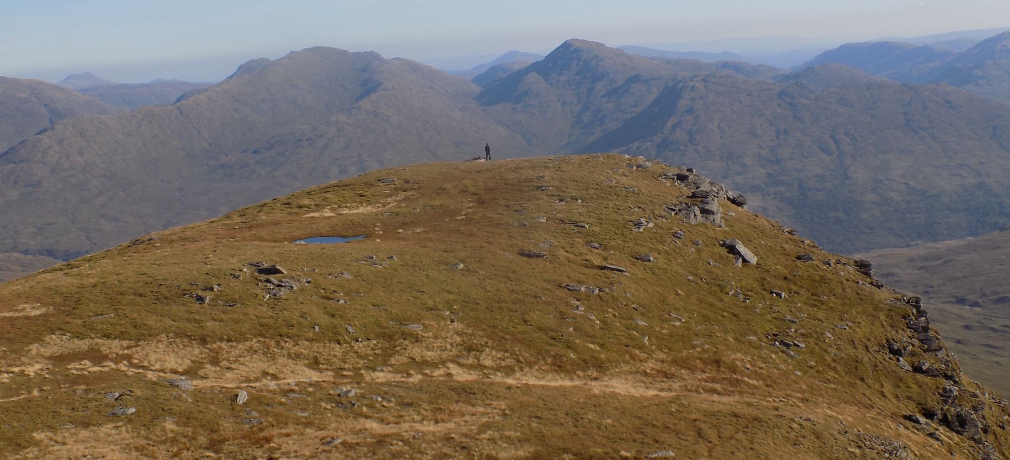
The Scottish HighlandsBeinn Chabhair
|
  |
| |
The Scottish HighlandsBeinn Chabhair
|
|
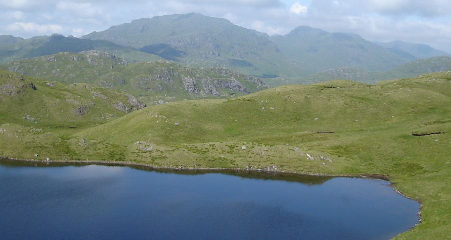 |
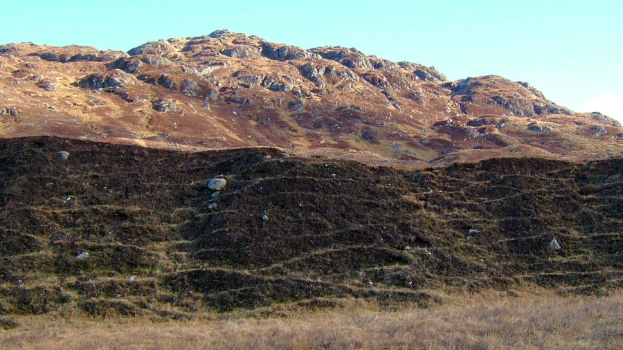
 Beinn
Chabhair
|
 |
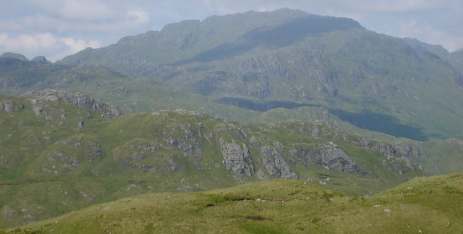
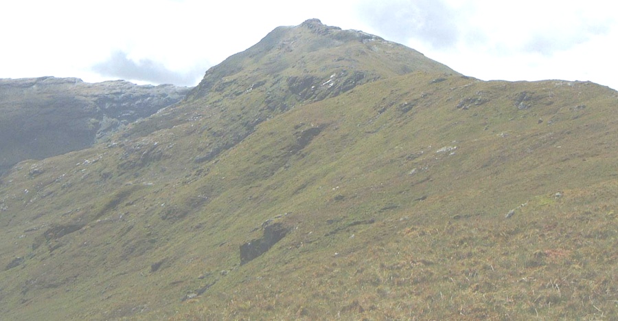
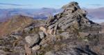
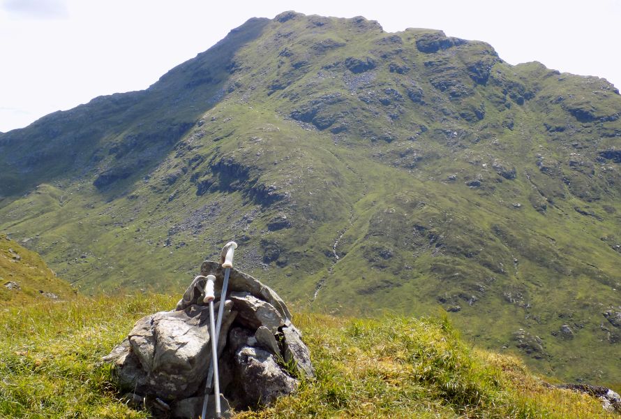 Beinn
Chabhair
from Stob Glas ridge |
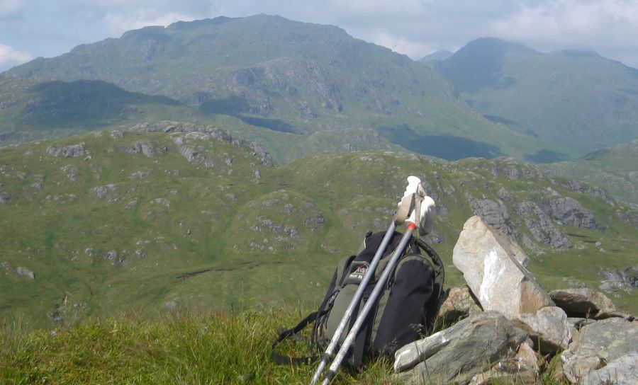
 Beinn
Chabhair
|
|
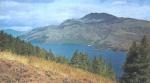
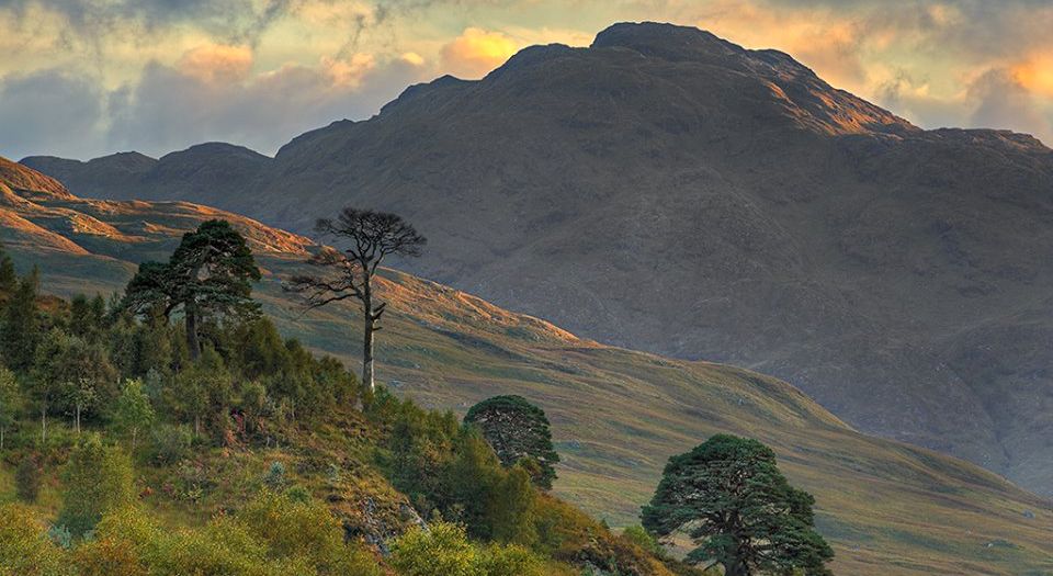 Beinn Chabhair from Glen Falloch |
|
 |
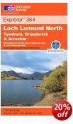
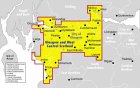
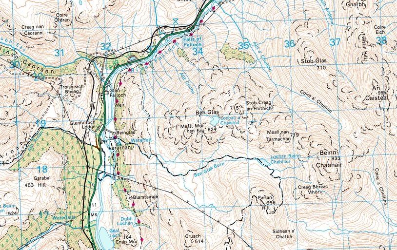 Map of
Beinn Chabhair
above the West Highland Way |
|
 |
|
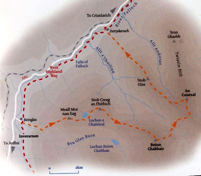
 Route Map of An
Caisteal
|
|
AN CAISTEAL - ROUTE DESCRIPTION:
 An
Caisteal ( The Castle )
|
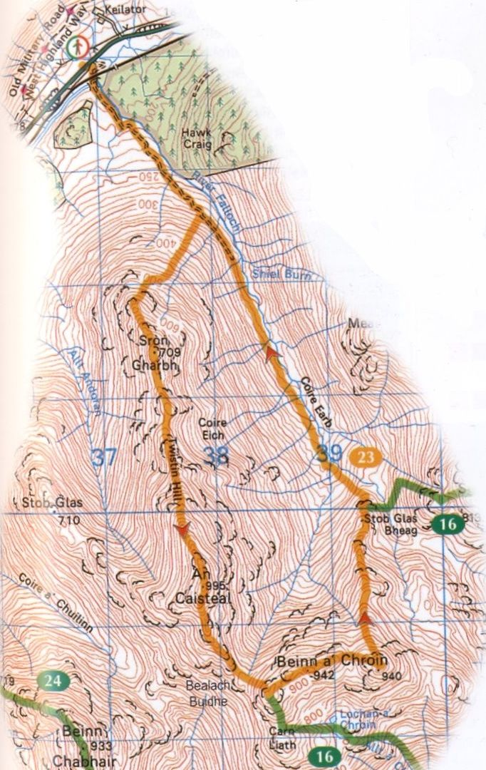 Route Map of Beinn a Chroin
( Note: Click here or on map for large format copy ) |
|
 ::
West
Highland
Way
::
West
Highland
Way