Location:
Cairngorms
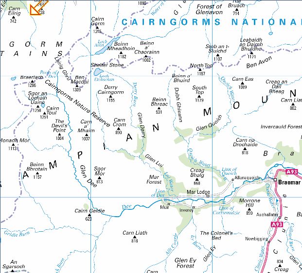
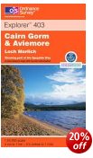
Map: OS Landranger 36 ( GR 990 060 )
Distance: 10 miles ( 16km )
Time: 5.5 hours
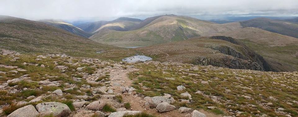
Terrain: mountain paths A splendid high-level walk across the
Cairngorm plateau to the summit of Britain's second-highest mountain.
Although the walk is fairly straightforward, the terrain becomes
featureless in cloud and mist, meaning you can easily get lost unless
prepared.
So, although a map, a compass and navigational skills are essential,
you're best to embark on this walk on a fine day, when you can fully
appreciate the grandeur of the surroundings.
Starting at Cairngorm Mountain Ski Centre, leave the car park in the
far south-west corner and pick up a path that contours around the
hillside. Take the low path where it forks and cross the burn by
stepping stones. On the other side stay on the main path, ignoring one
off to the left, and continue gradually uphill onto the long ridge of
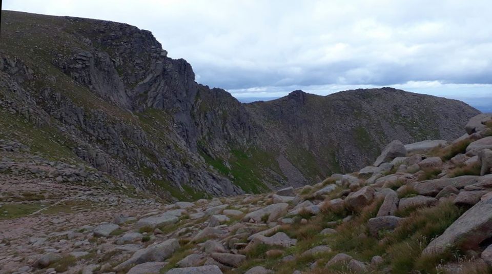
Miadan Creag an Leth-chain. This rises up the side of cliff-backed
Coire an Lochain, then around the western flanks of Cairn Lochan to
cross the
watershed between two tiny pools. Lochan Buidhe feeds Loch A‘ an to the
east and the lochan at the head of the March Burn drops steeply west
into the great defile of the Lairig Ghru pass. The broad summit dome of
Ben Macdui (1309m ) now rises ahead and after joining another path
coming
in from the east you soon reach this tremendous viewpoint.
Return to where the paths meet, then take the path that veers
north-east around Lochan Buidhe and traverse the eastern flanks of
Cairn Lochan to a col. Climb over Stob Coire an t-Sneachcla, then
continue to the cairn at the head of the Fiacailla' Choire Chais ridge
and follow it down back to the ski centre. You could also tackle the
summit of
Cairn Gorm itself with a descent down the good path on its north
shoulder.
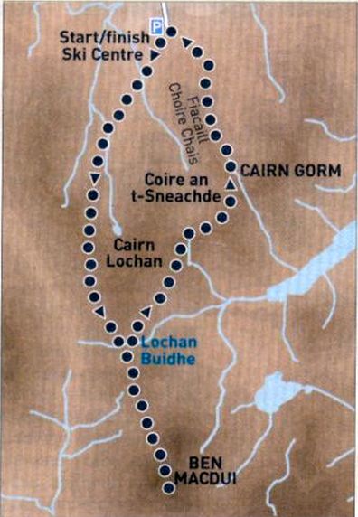
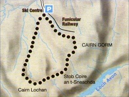
Route
Map for Cairn Lochan circuit
CAIRN LOCHAN
CIRCUIT - ROUTE DESCRIPTION:
Location: Cairn Gorm
Map: OS Landranger 36
Distance: 8 miles (13km)
Time: 4-5 hours
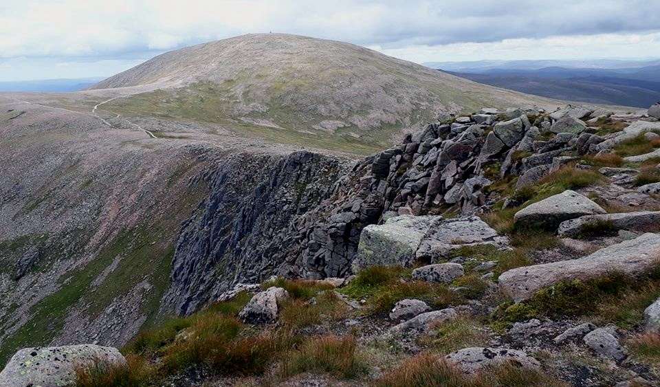
Terrain: Moderate mountain walk (serious in winter) Cairn Gorm's Sron an
Aonaich ridge might be steep but it gets you up the hill quickly.
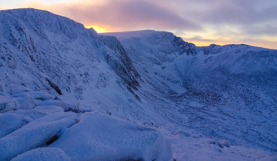
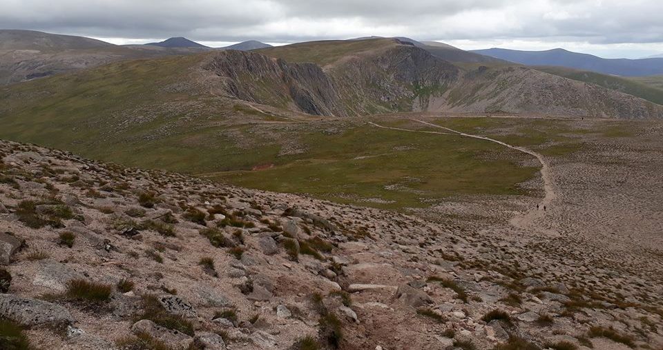
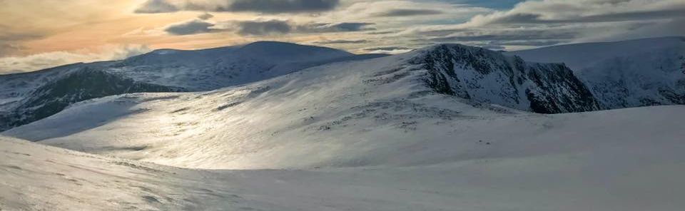
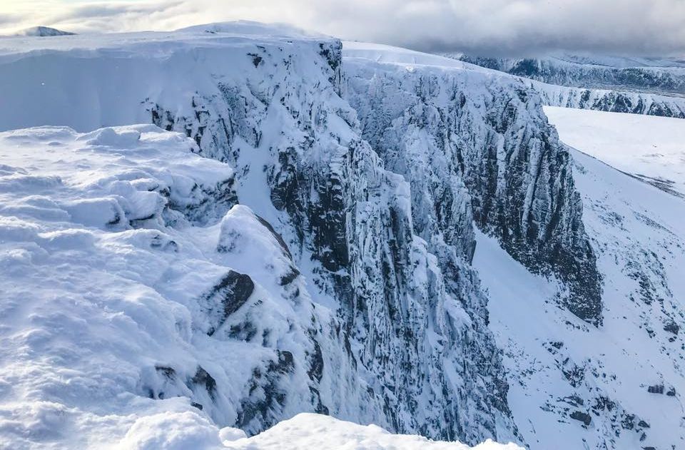
After the Ptarmigan station this route is ideal, a rollercoaster over
the tops of the northern corries — Cairn Gorm itself, then the cliffs
of Coire an t-Sneachda and Cairn Lochan, in summer this is a tourist
route, but in winter it's a short but rewarding outing offering full
frontal views of the corniced, ice- bound cliffs of the two corries.
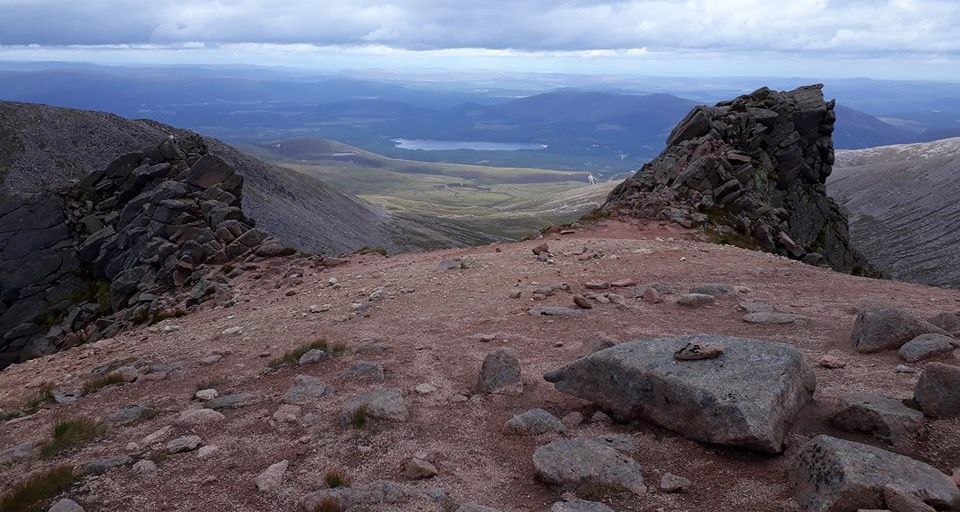
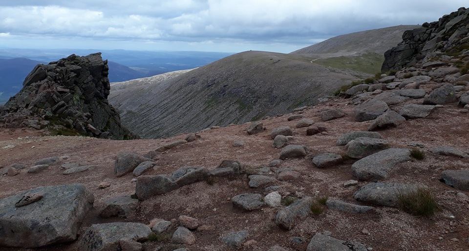
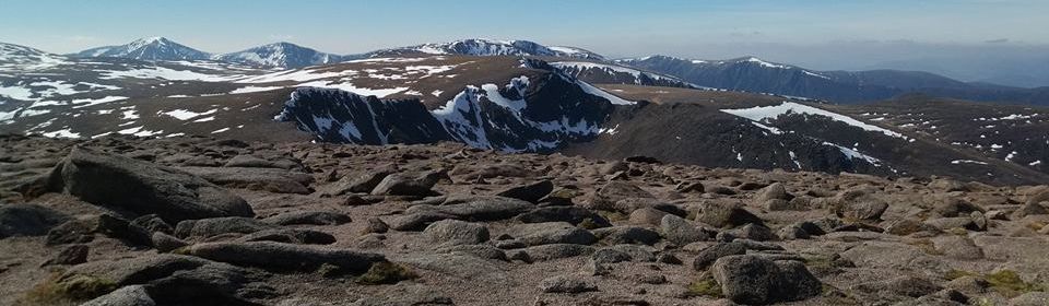
Outside the weather station the views are extensive, out over the
Haughs of Abernethy and Cromdalc towards the Moray Firth.
Closer at hand are the granite tors on the whaleback ridges of Beinn
Avon and Beinn Mheadhoin and the flanks of the Cairngorm Plateau.
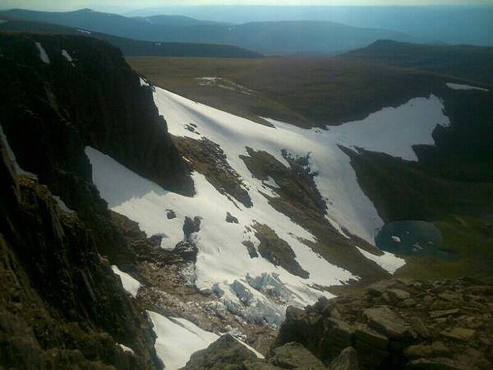
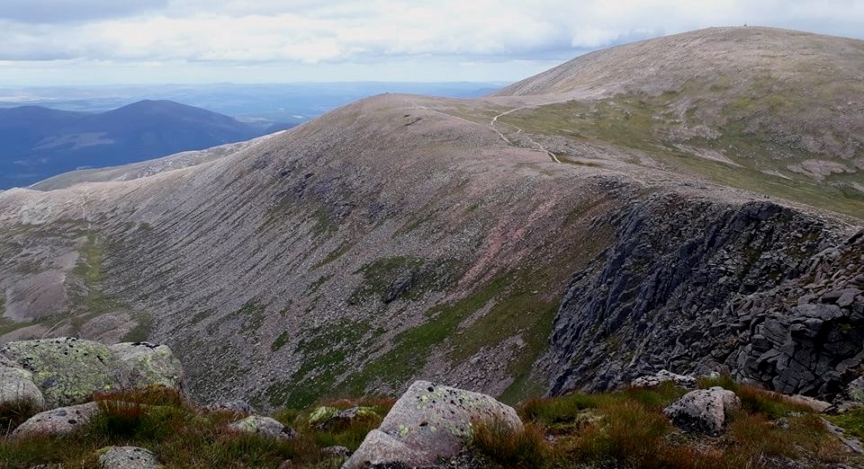
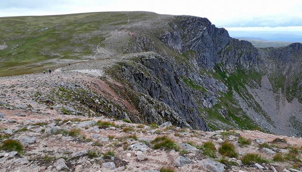
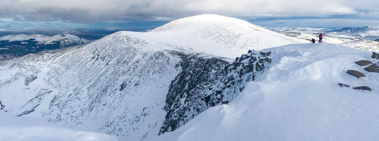
Descend Cairn Gorm to reach the top of Cairn Lochan to look down on
hardy climbers negotiating the gullies and ridges.
Easy slopes drop from Cairn Lochan to the flats of Lurcher's Meadow but
first look over into the deep trench of the Lairig Ghru. Route:
Startmnish at Cairn Gorm car park (GR: NN989061).
Climb S to the Ptarmigan bowl then to the summit of Cairn Gorm.
Descend in a W direction to just below the top of the Fiacaill a‘
Choire Cas from where a footpath runs over the summit rocks above the
cliffs
of Coire an t-Sneachda.
Descend to the head of Coire Domhain and climb to the top of Coire an
Lochain.
Taking care to avoid the cliffs and cornices, descend in a WSW
direction then veer N to gain the broad ridge that bounds Lurcher's
Gully.
Descend the ridge, cross the Allt Coire an t-Sneachda and follow the
path back to the car park.