  |
City of GlasgowRiver Clyde
Falls of Clyde |
  |
| |
City of GlasgowRiver Clyde
Falls of Clyde |
|
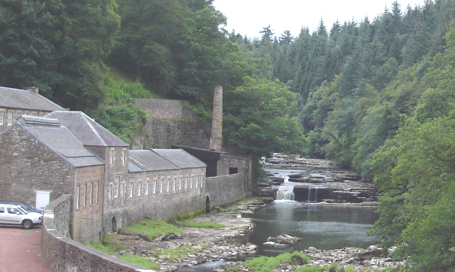 New Lanark on
the River Clyde
The Walkway to the Falls of Clyde is accessed through the historic village of New Lanark. |
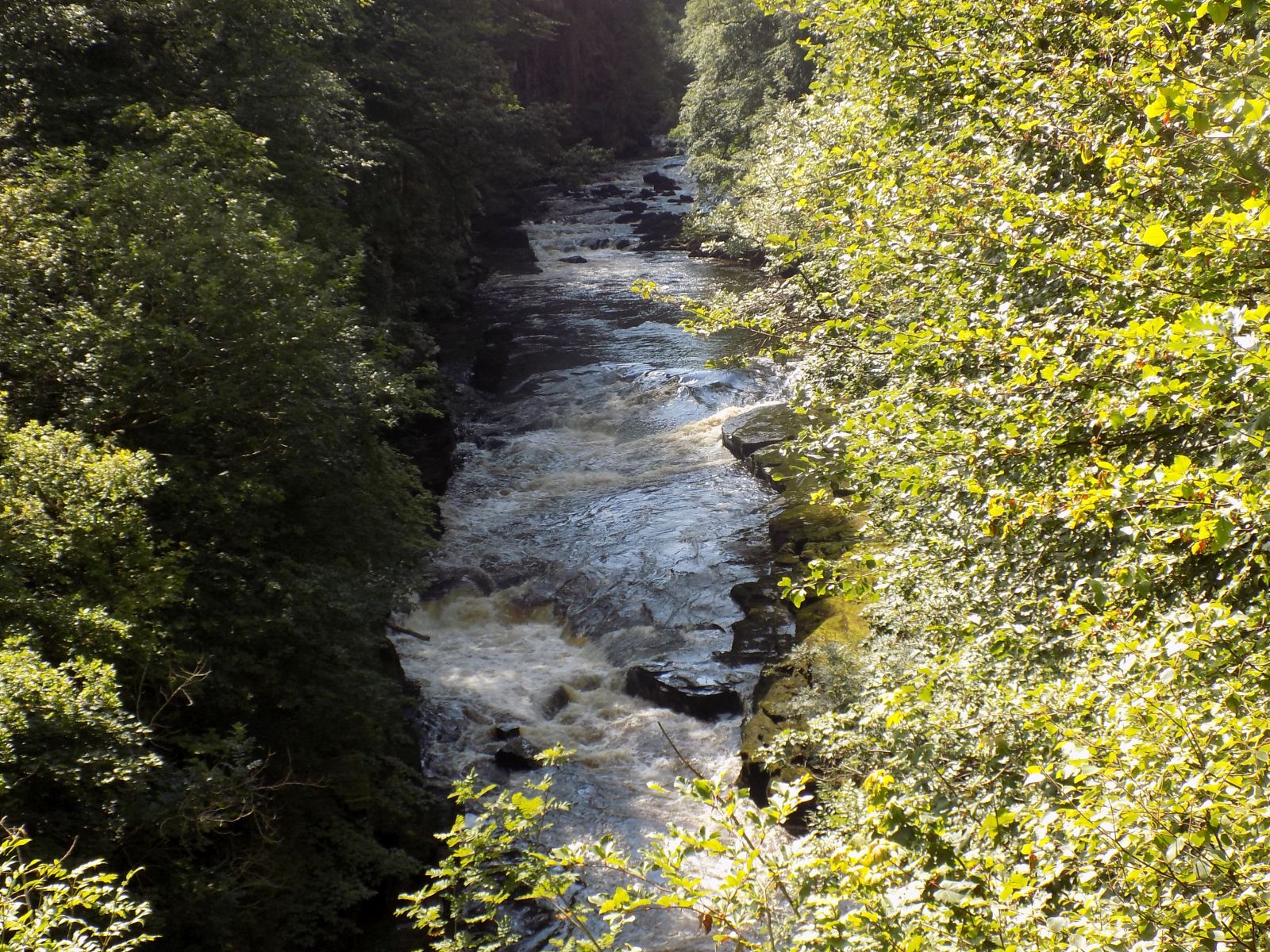
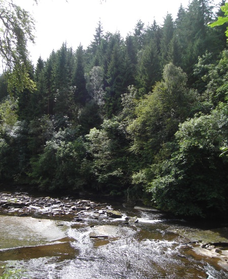 River Clyde
from path to the Falls |
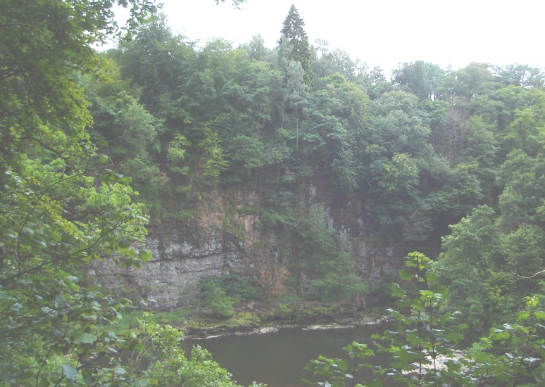 Cliffs
of rocky
amphitheatre
above the River Clyde on route to the Falls |
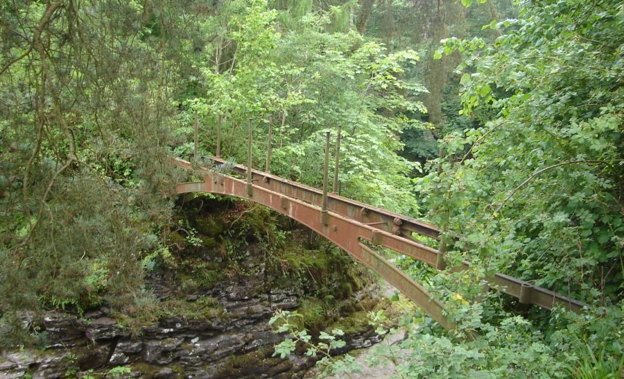 Remains
of the Bonnington Iron
Bridge
A Category B listed building |
 Sign
at the Bonnington Iron Bridge |
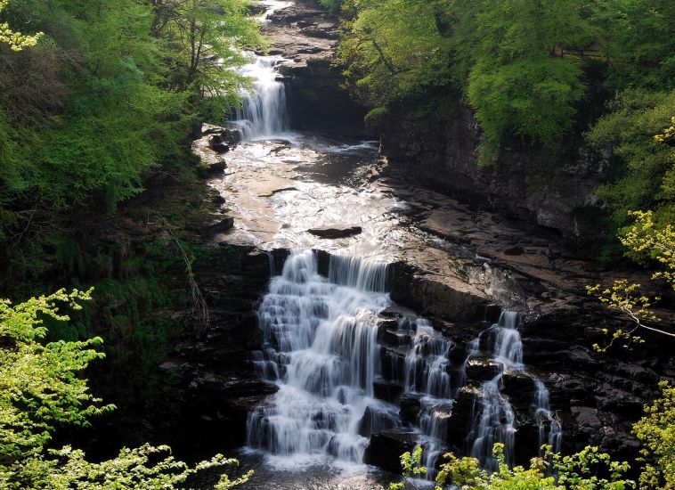
 Bonnington
Linn
Waterfalls Gallery |
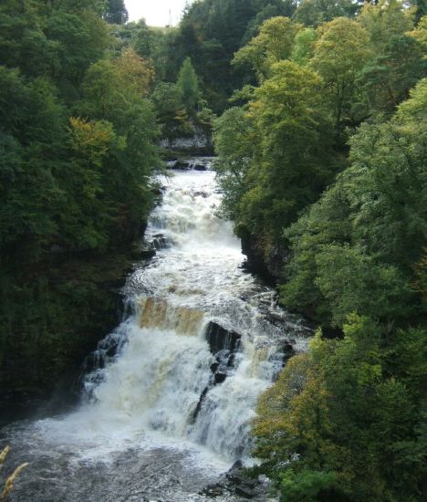
 The
Falls of Clyde
Waterfalls Gallery |
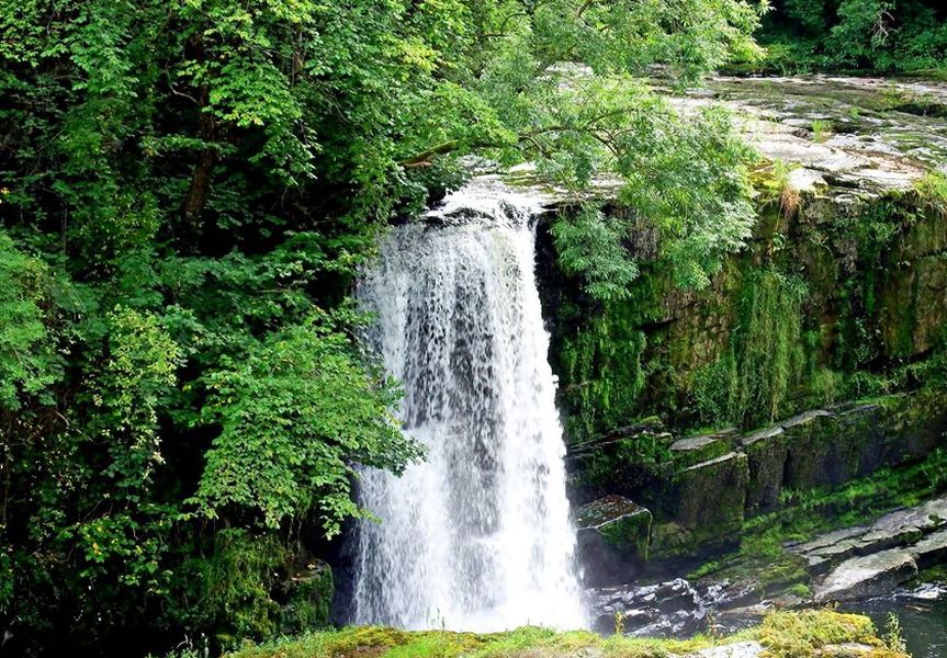
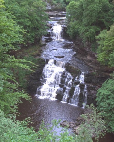
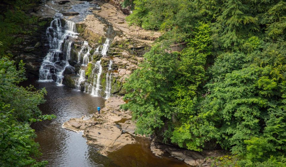
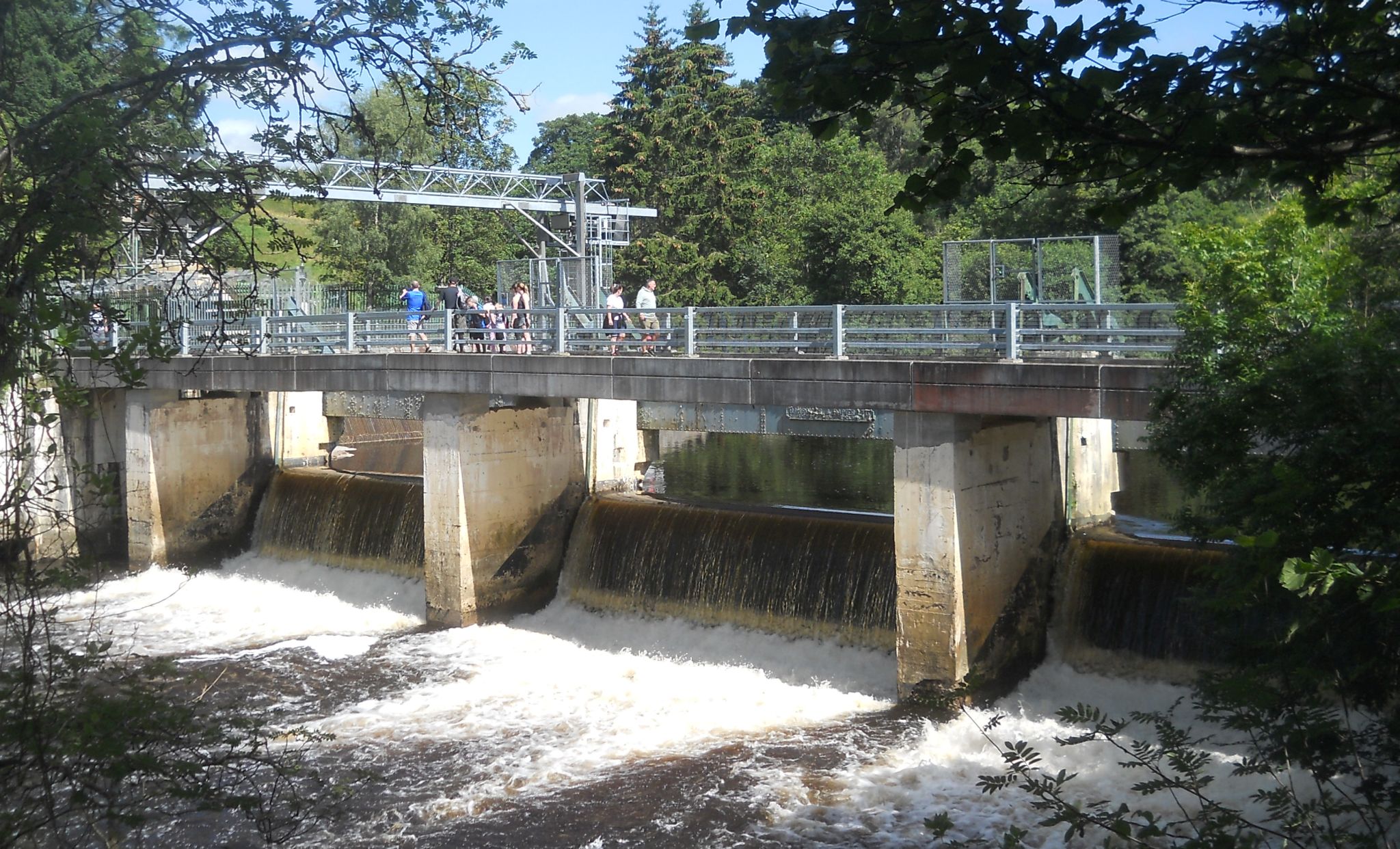
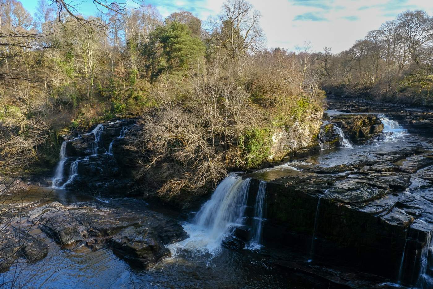
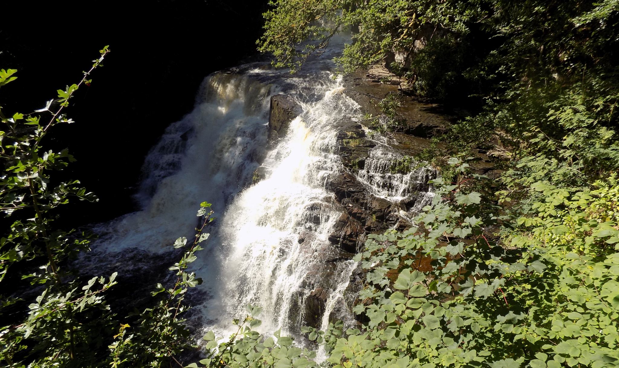
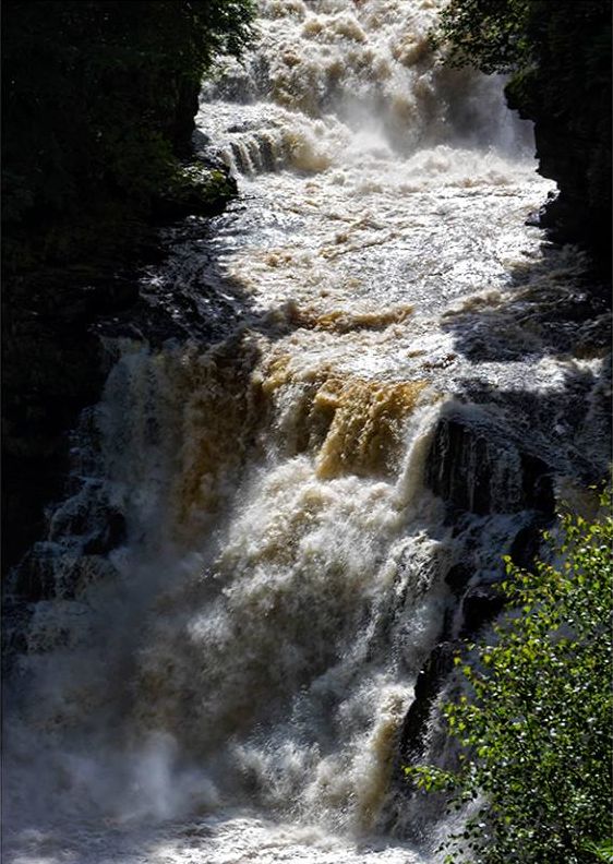
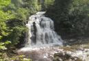
 Corra
Linn on The Falls of Clyde
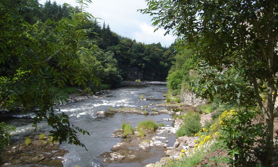
The Falls of Clyde is a series of four linn ( waterfalls ) on the River Clyde near New Lanark. The highest is Corra Linn with a fall of 90 feet. |
 Corra
Linn
on The Falls of Clyde |
 Corra
Linn
on The Falls of Clyde |
 Above
Corra
Linn
on The Falls of Clyde |
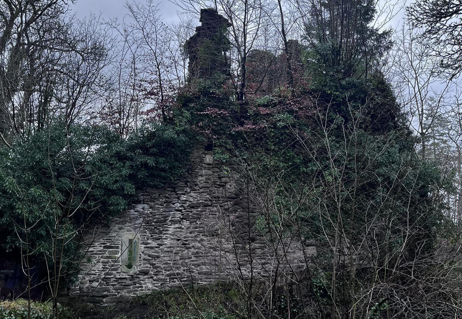 Corra Castle
above the River Clyde |
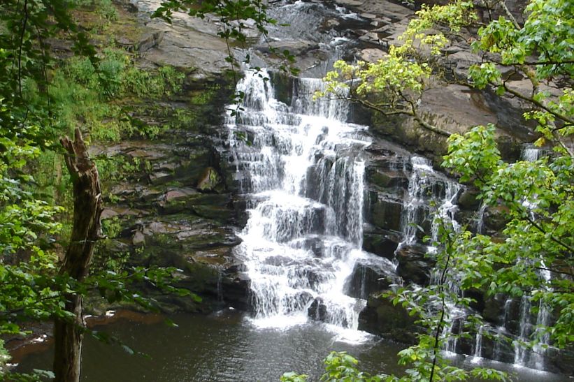
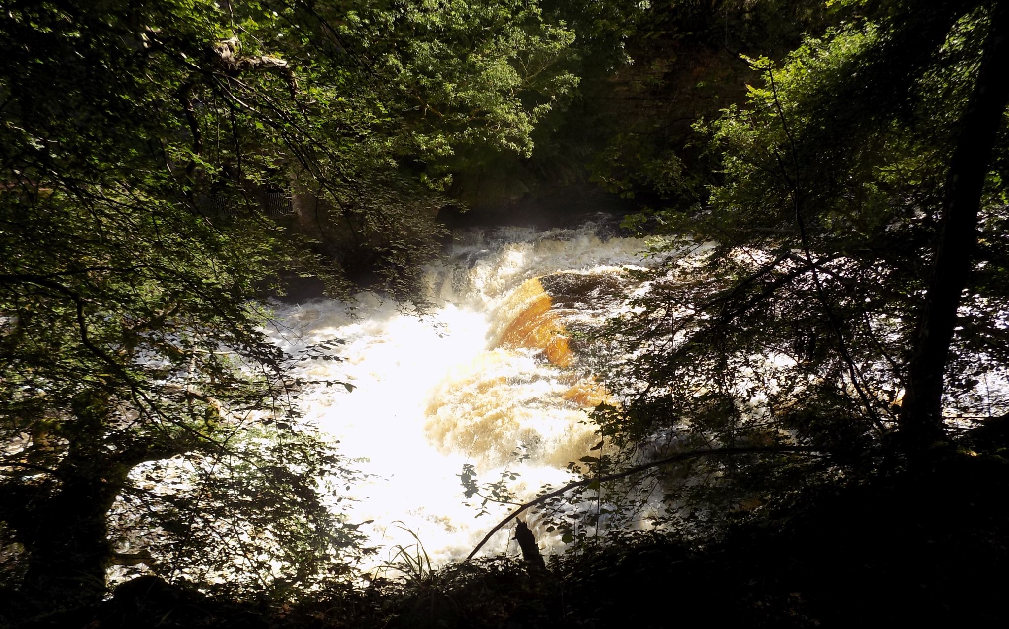
 The
Falls of Clyde
|
 Bridge
over River Clyde
at Bonnington Linn |
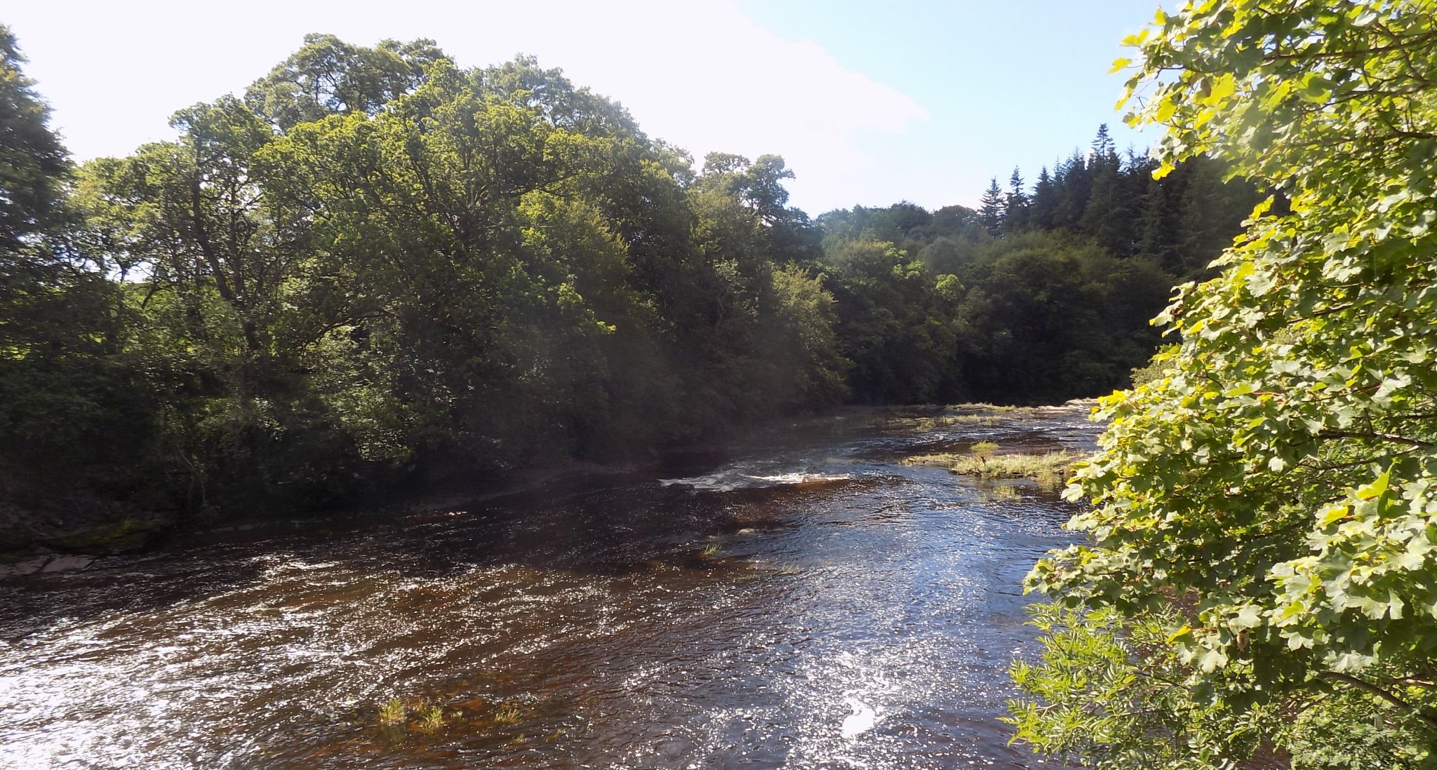 River
Clyde
above Bonnington Linn bridge |
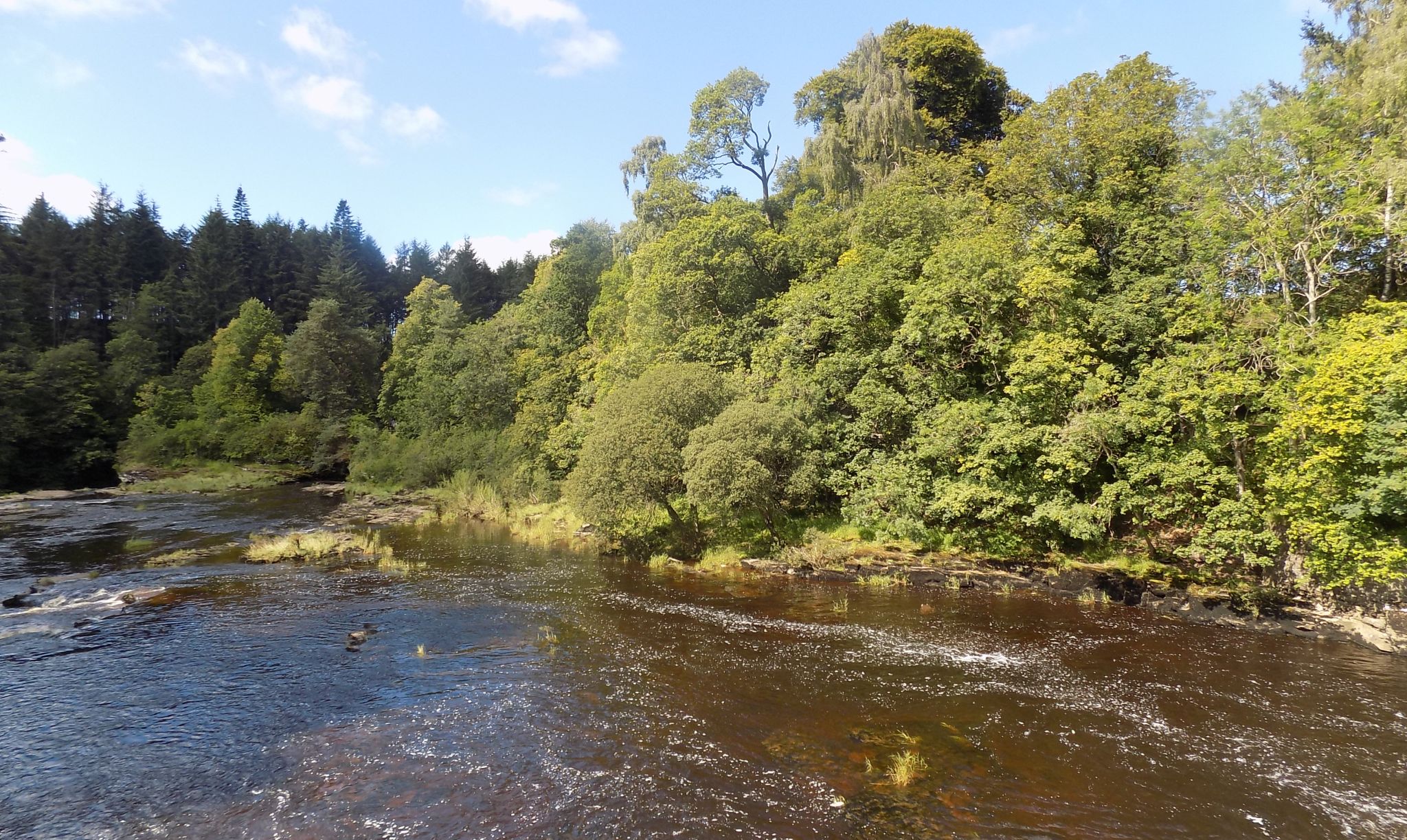 River
Clyde
below Bonnington Linn bridge |
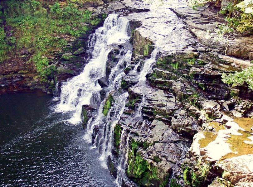
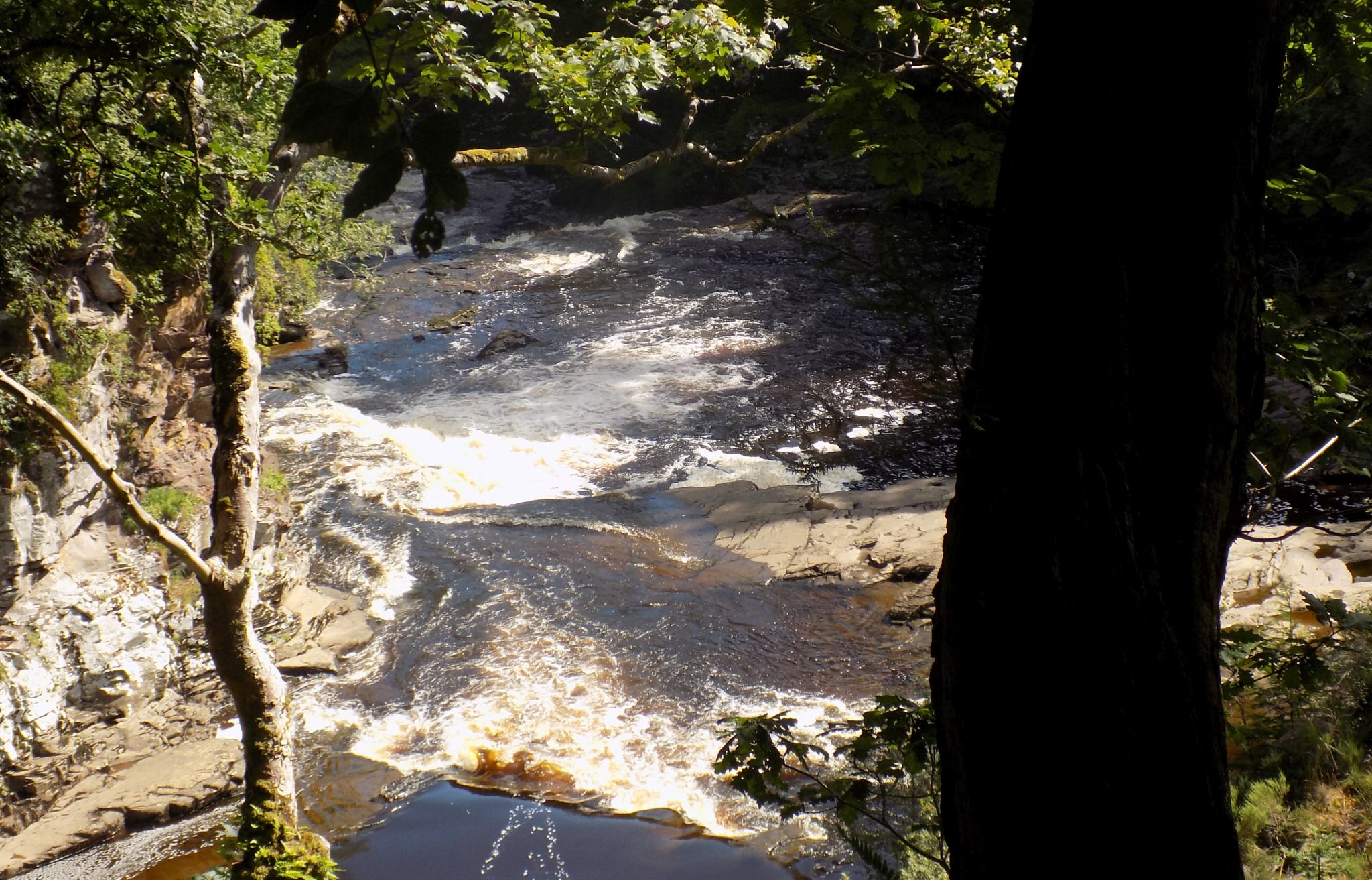
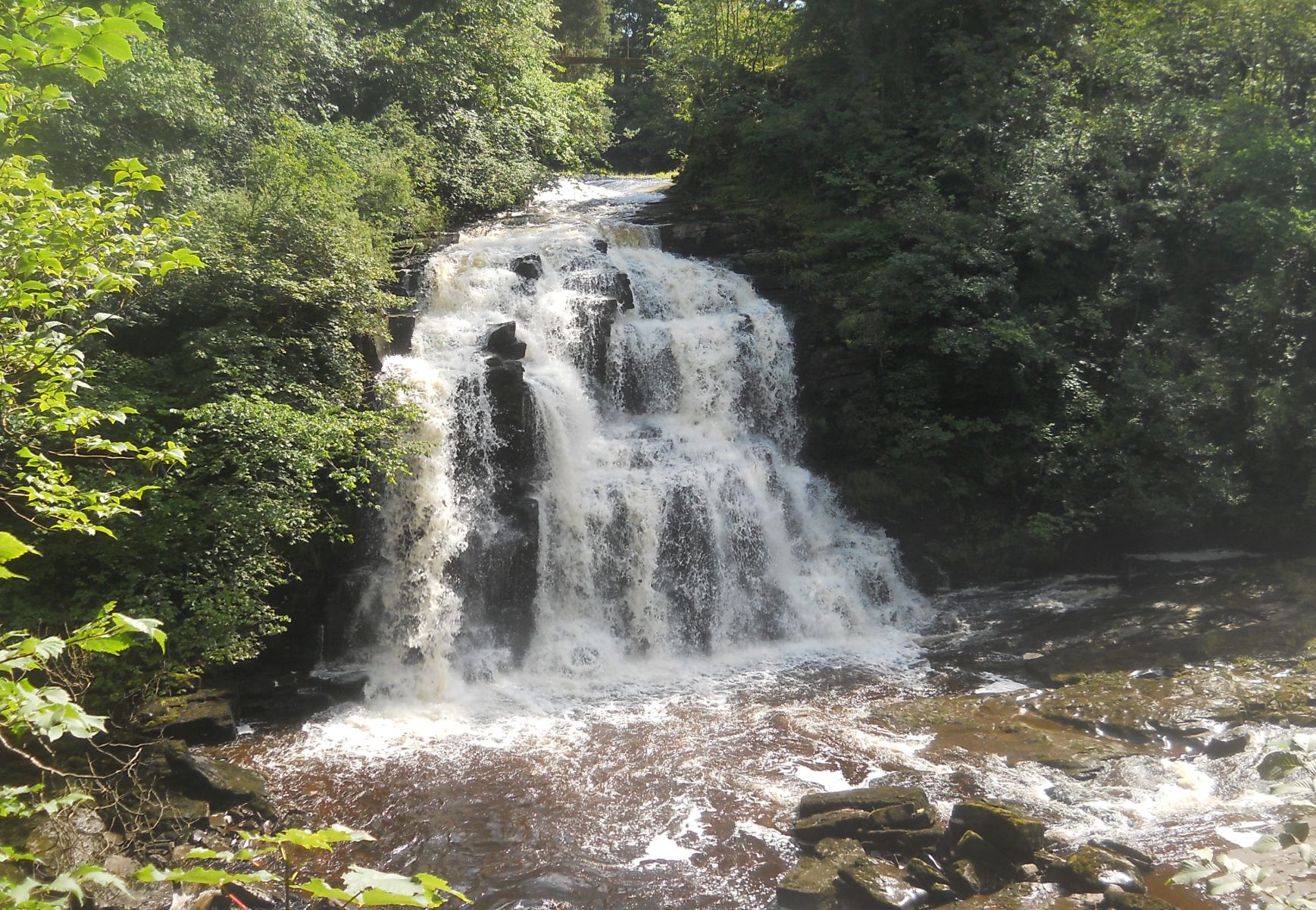
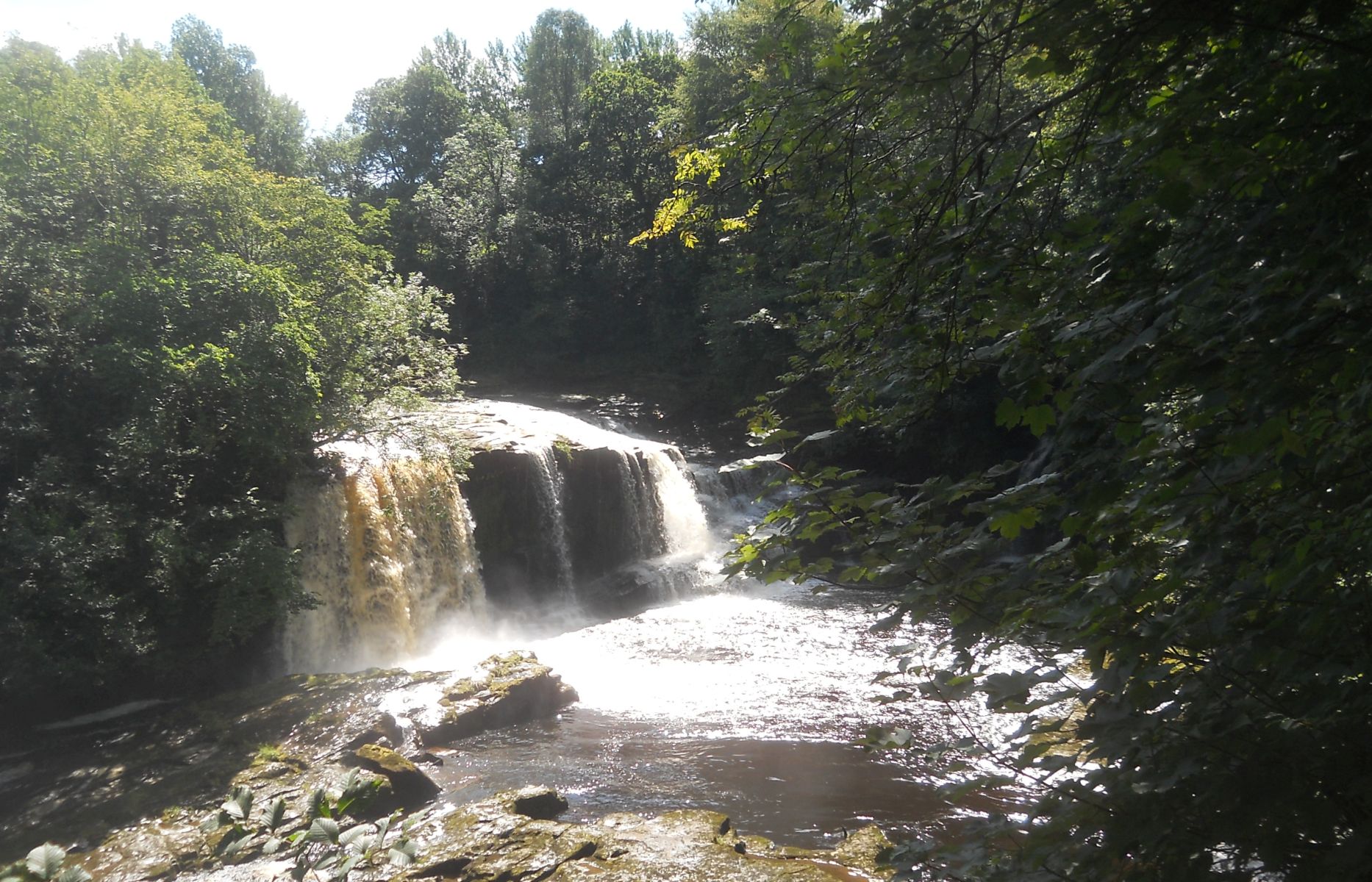
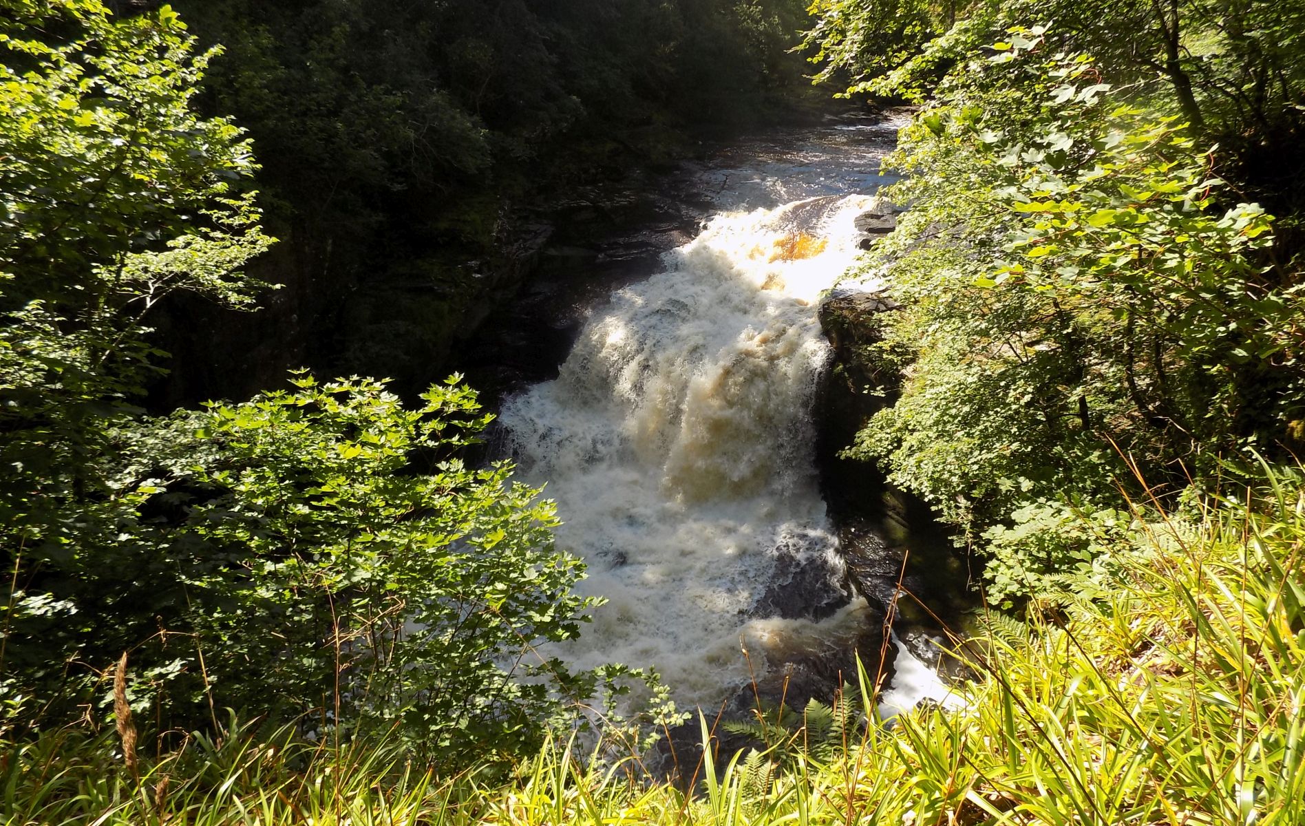
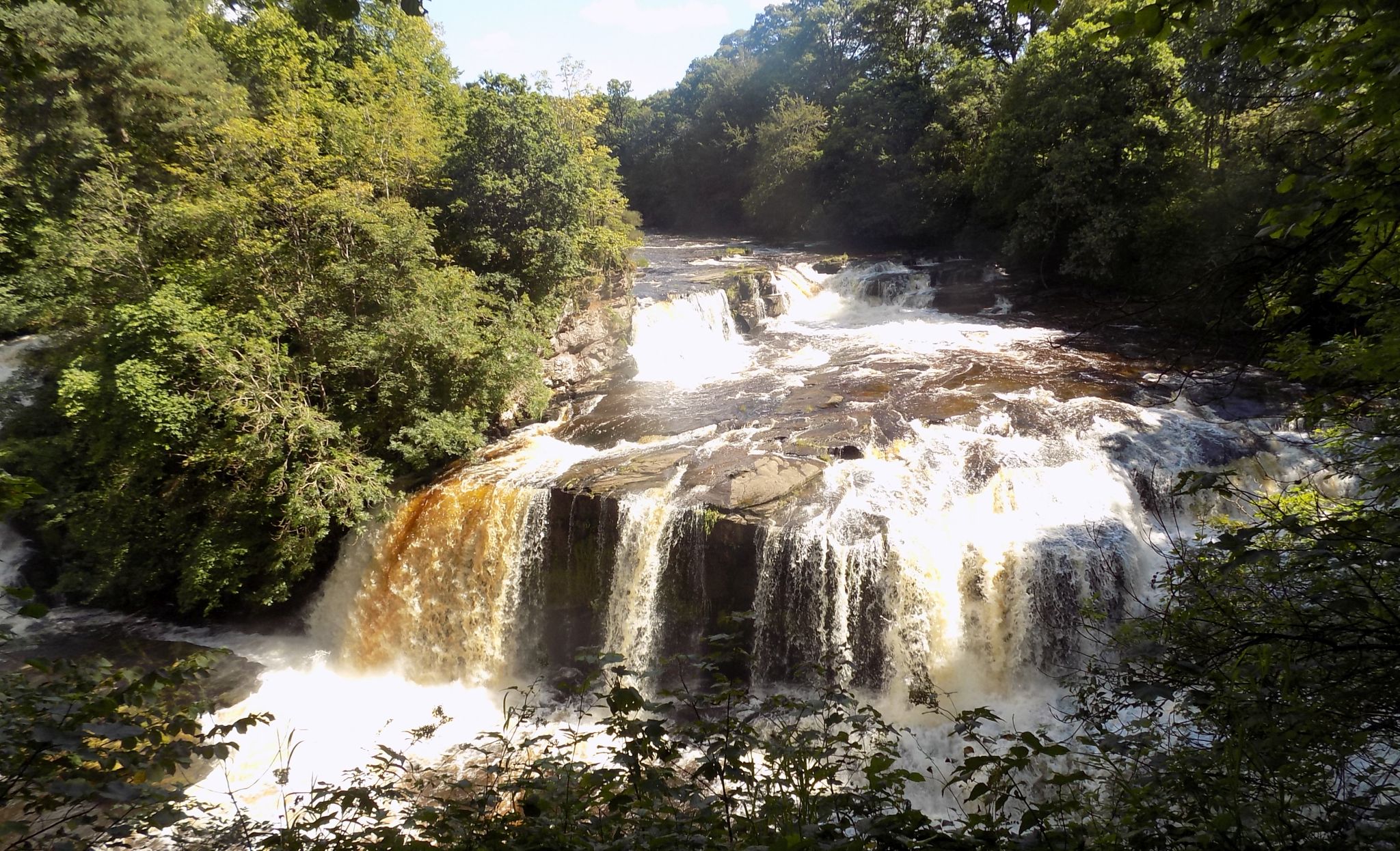 The
Falls of Clyde
- Bonnington Linn |
 The
Falls of Clyde
- Bonnington Linn |
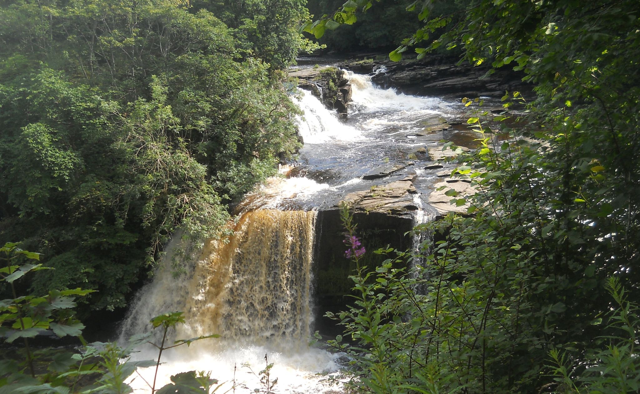
 The
Falls of Clyde
|
 The
Falls of Clyde
|
 The
Falls of Clyde
|
 The
Falls of Clyde
|
 The
Falls of Clyde
|
 The
Falls of Clyde
|
 The Falls of Clyde Waterfalls Gallery |
 The
Falls of Clyde
Waterfalls Gallery |
 The
Falls of Clyde
|
 |
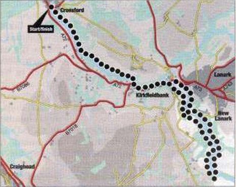 |
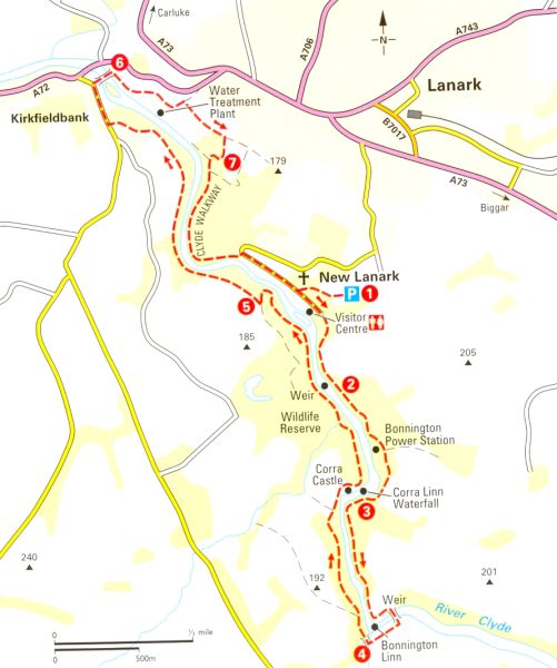
RIVER CLYDE WALKWAY - CYCLE RUN - ROUTE DESCRIPTION:
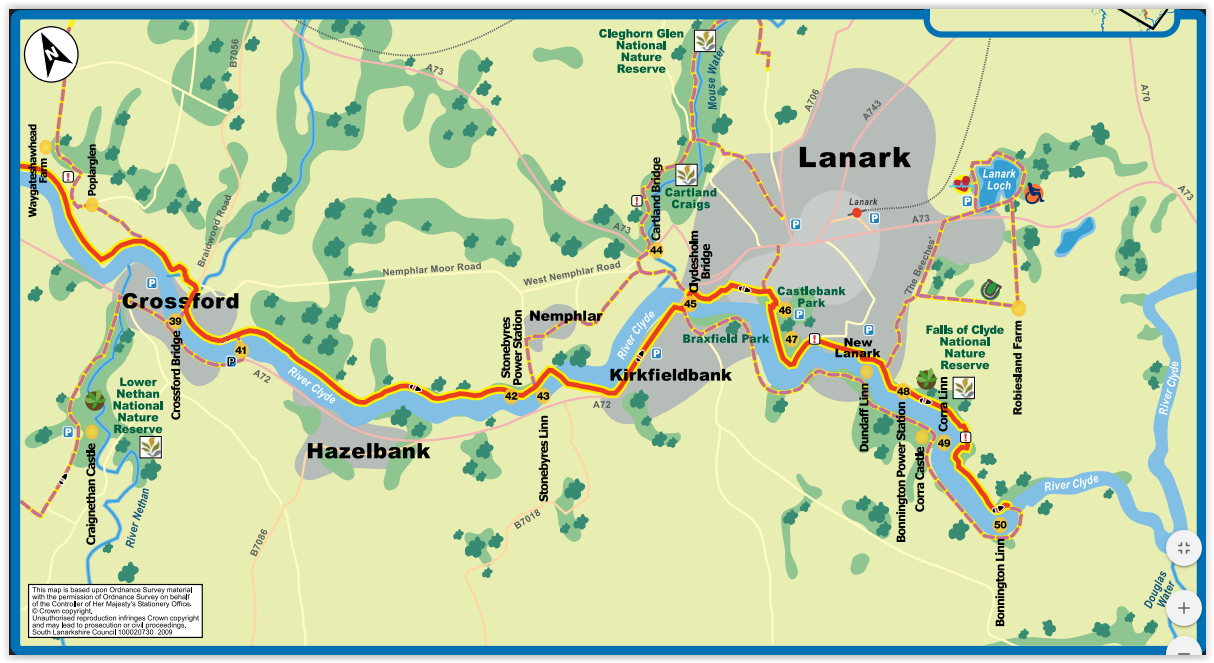 Map of
the River Clyde Walkway
from Crossford to New Lanark |
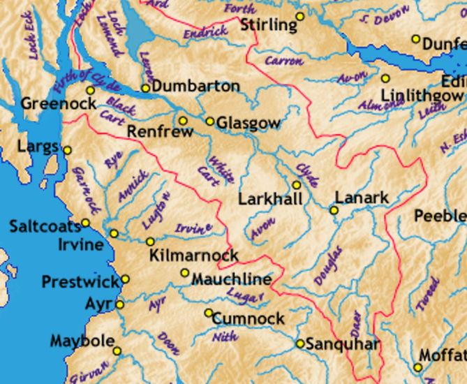 Map
of the River Clyde
|
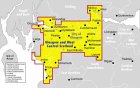
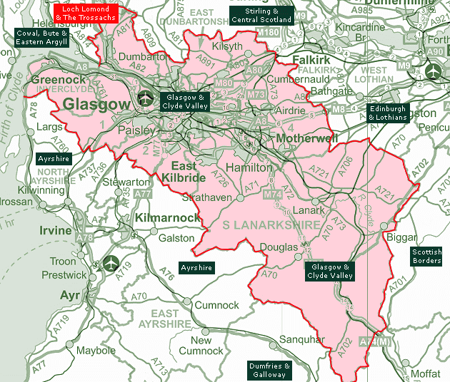 Map
of the Clyde Valley
|
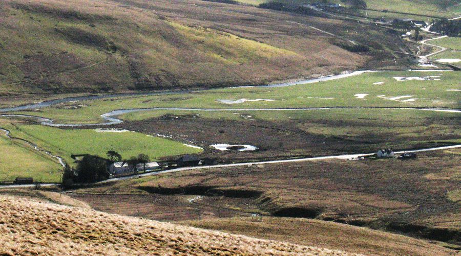 The
source of the River
Clyde
at the confluence of Daer Water and Potrail Water in the Lowther Hills of the Southern Uplands |
 :: Falls of
Clyde Gallery
:: Falls of
Clyde Gallery  ::
Clyde River
Walkway Gallery
::
Clyde River
Walkway Gallery 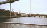
Glencoe | Ben Nevis | Knoydart | Isle of Skye | Isle of Arran | The West Highland Way
The Eastern Highlands | The Central Highlands | The Southern Highlands | The NW Highlands