  |
Southern ScotlandHart Fell
|
  |
| |
Southern ScotlandHart Fell
|
|
Photographs of a circular traverse of the Corbett Hart Fell
above Moffat in the Borders Region of Scotland
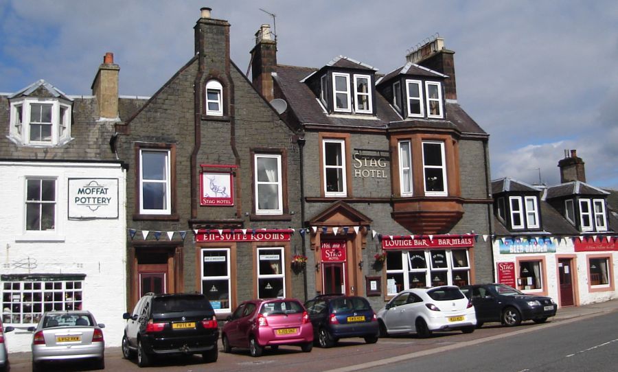 The
Town of Moffat
Moffat is on the Southern Upland Way - a long distance walk across the Borders Region of Scotland |
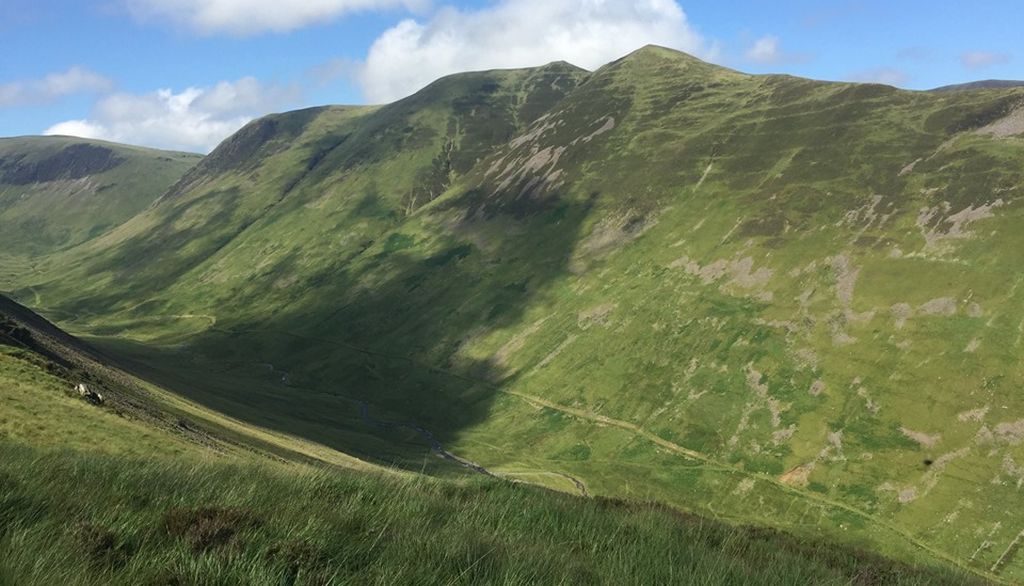
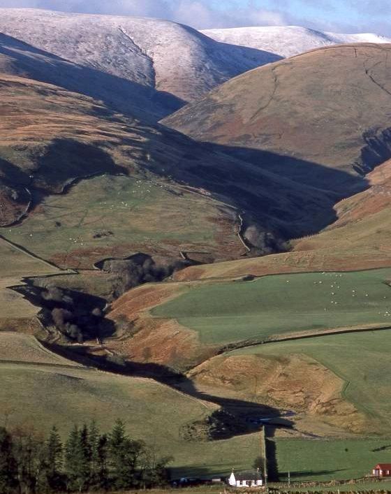
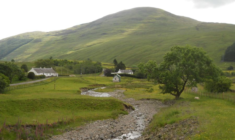 Bodespeck
Law and Blackhope Burn
at the start of the ascent of Hart Fell |
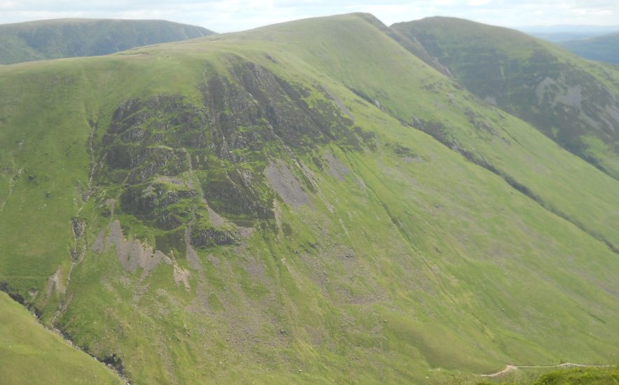
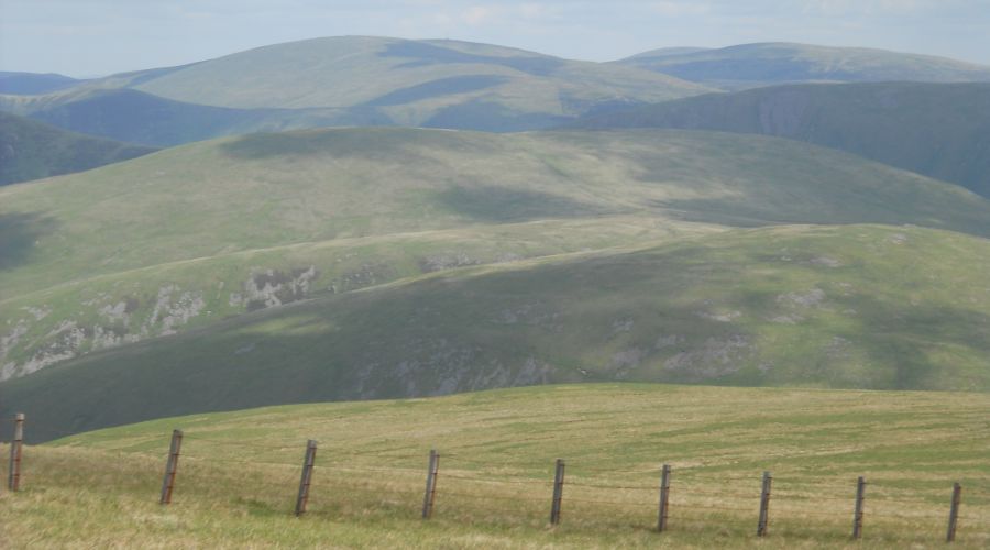
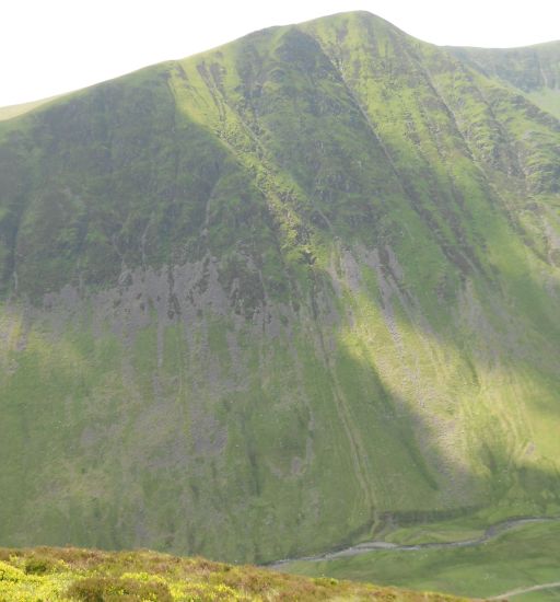
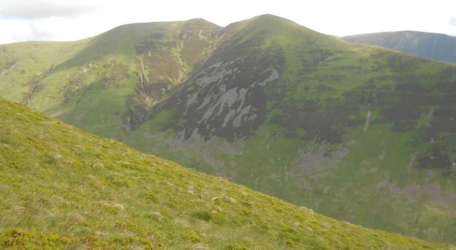 Saddle
Yoke ( on the return route
)
on ascent of Hart Fell |
 Saddle
Yoke ( on the return route
)
on ascent of Hart Fell |
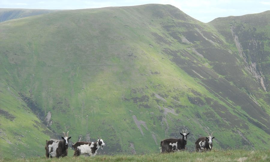 Goats
on Swatt Fell
|
 Saddle
Yoke ( the return route )
from Hart Fell |
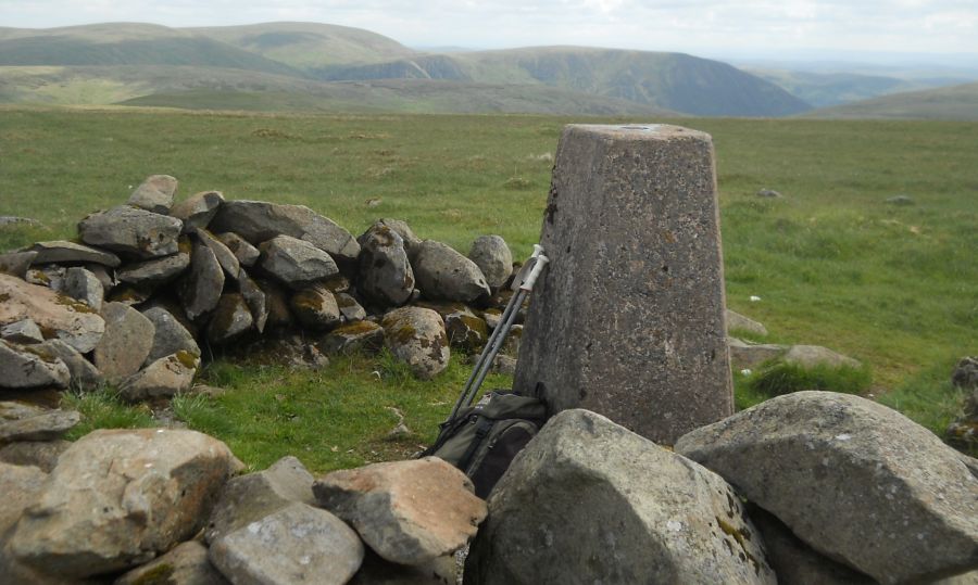 Trig
Point
on summit of Hart Fell ( 2651ft, 808m ) |
 |
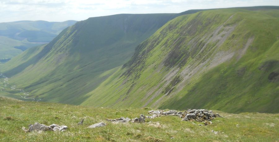
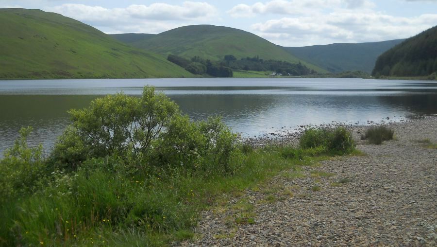
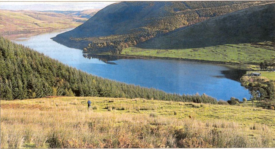
 Fruid
Reservoir
on the traverse from Hart Fell to Saddle Yoke |
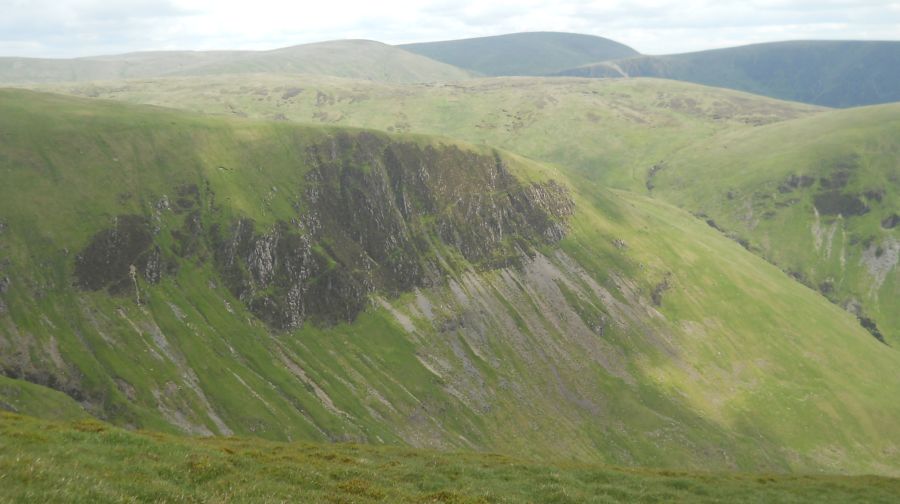
 Swatt
Fell ( the outward route )
above the Blackhope Burn |
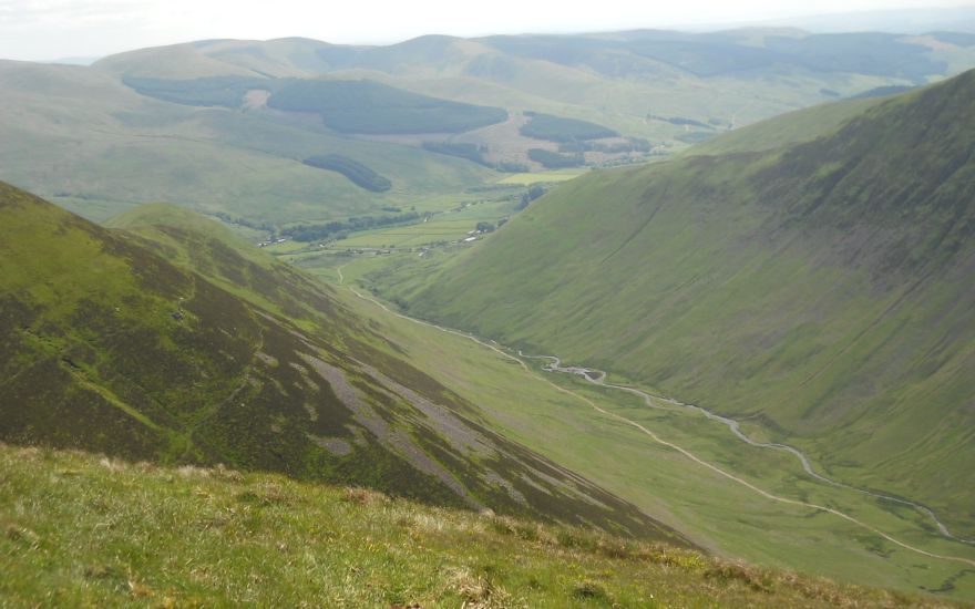 Blackhope
Burn
on the traverse to Saddle Yoke |
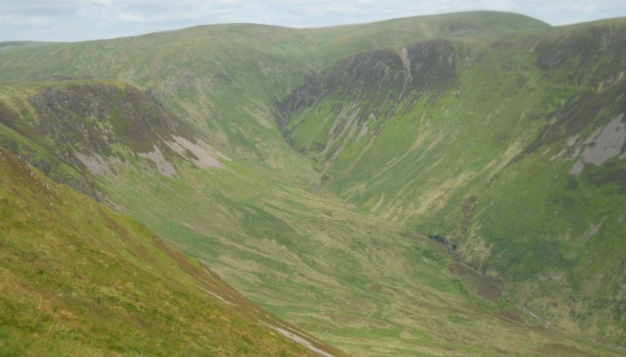
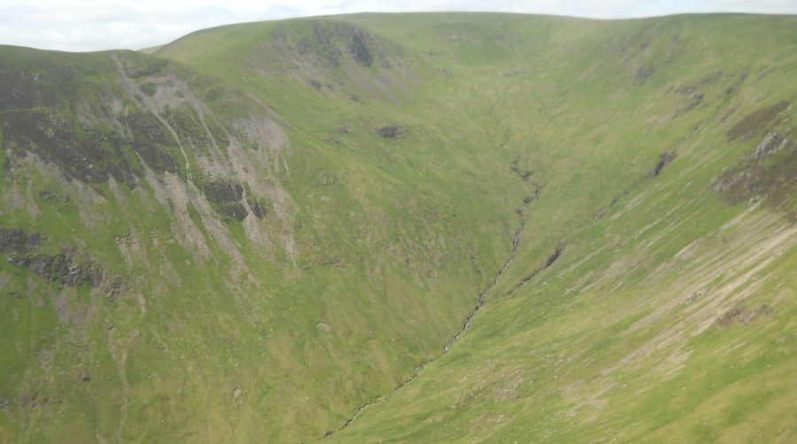 Hart
Fell
on the traverse to Saddle Yoke |
 |
 Swatt
Fell
from Saddle Yoke |
 Hart
Fell
|
 |
 |
 |
 |
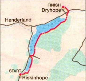
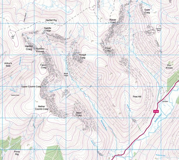
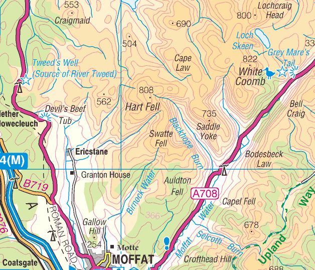 Map of
Hart Fell
|
 Map of
Hart Fell
|