  |
City of Glasgow Kelvin River Walkway
|
  |
| |
City of Glasgow Kelvin River Walkway
|
|
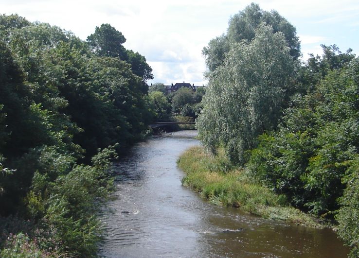 River
Kelvin in Kelvingrove Park
|
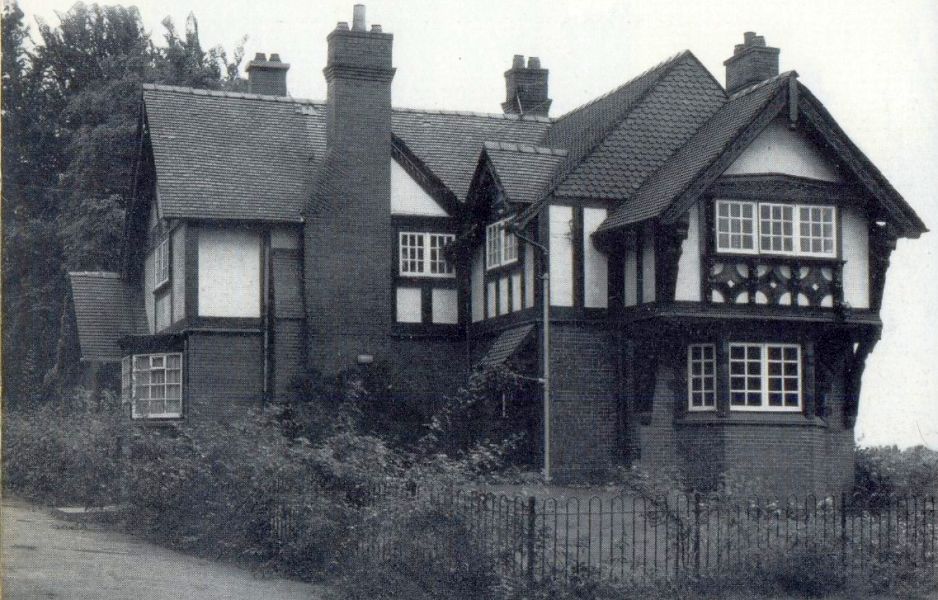 Sunlight
Cottages in Kelvingrove Park
Built for the 1901 International Exhibition |
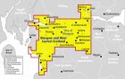
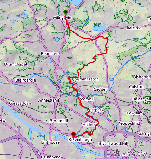
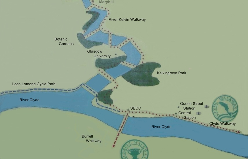 Route Map of Kelvin River Walkway
The
Kelvin Walkway connects Milngavie
with the Glasgow Heliport on the north bank of the River Clyde. The walkway follows the Allander Water for 2 miles ( 3km ) southeast from Milngavie to join the River Kelvin. The route then turns southwest leaving the Kelvin to strike south through Summerston The walkway rejoins the river on the outskirts of Maryhill and proceeds south through Kelvinside, Kelvingrove Park and Yorkhill to reach the Clyde. A total distance of some 9 miles ( 14.5km ) is covered. 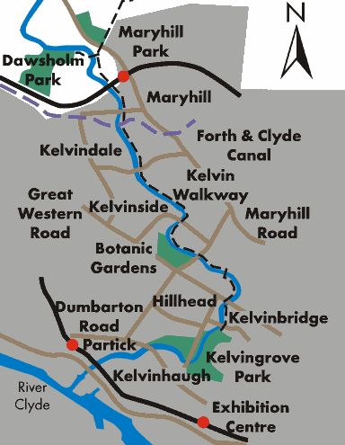 |
 Spires
of Glasgow Art Gallery
from River Kelvin in Kelvingrove Park |
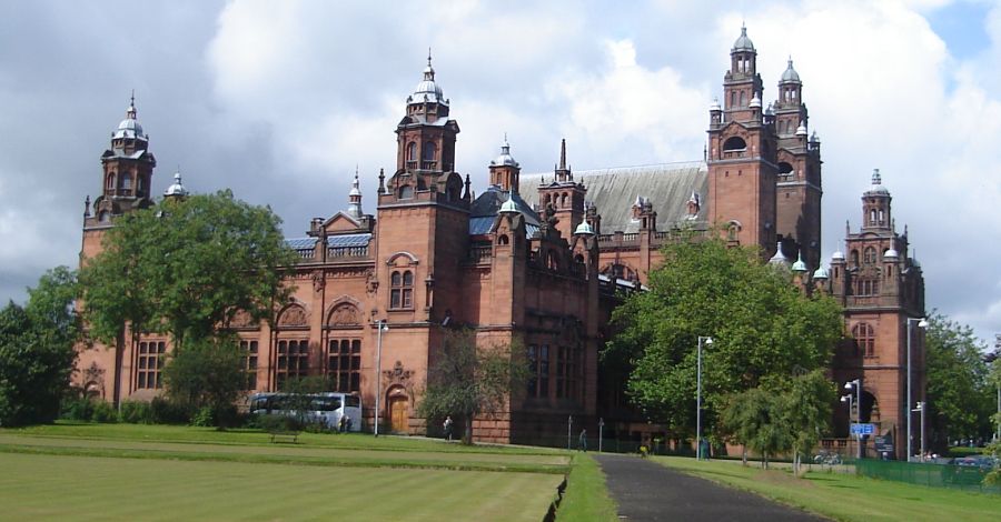 Glasgow Art Gallery and
Museum
from Kelvingrove Park |
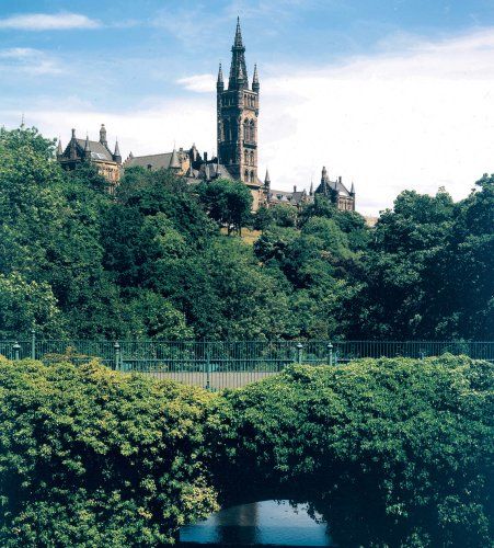 Glasgow University
from River Kelvin
|
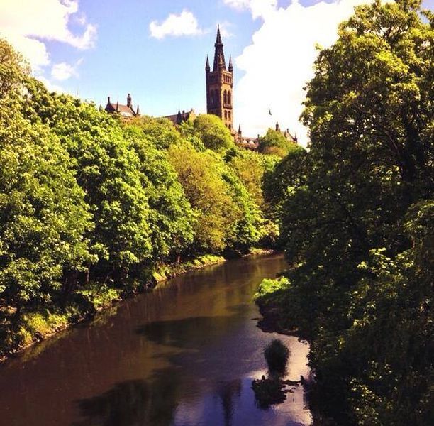 Glasgow University
from River Kelvin
|
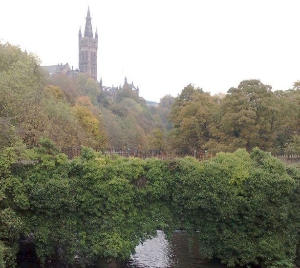 Glasgow University
from River Kelvin
|
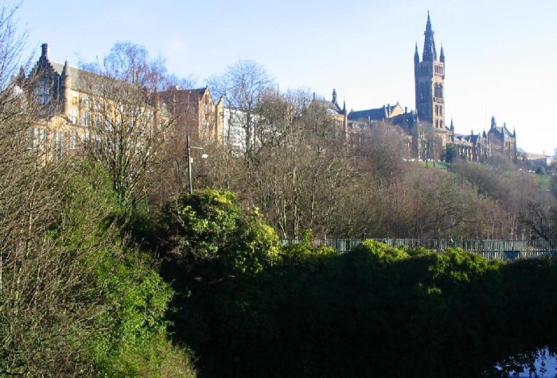 Glasgow University
from River Kelvin
|
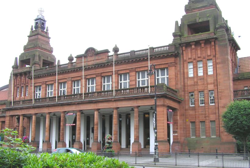 Kelvin
Hall (
Kelvinhaugh )
- former Glasgow Transport Museum The Transport Museum is now in the Riverside Museum on the Clyde Walkway |
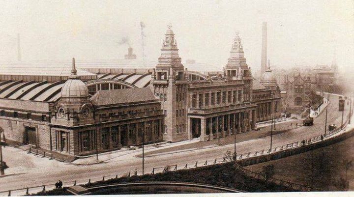 The Kelvin Hall Opened by His Majesty the King on 12th July 1927 |
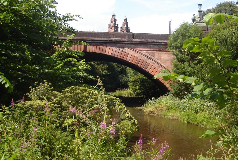
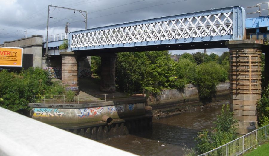 Railway
Bridge
across Kelvin River
near confluence with the River Clyde |
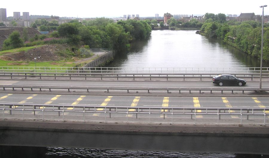 Kelvin
River confluence
with the River Clyde
|
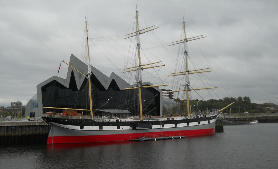
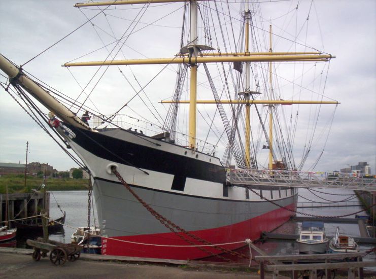 The "Tall
Ship"
on the River Clyde |
 |
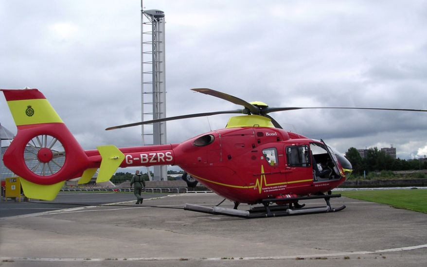 Glasgow
City Heliport and Science Tower
on River Clyde |
 Glasgow
City Heliport
on River Clyde from Govan |
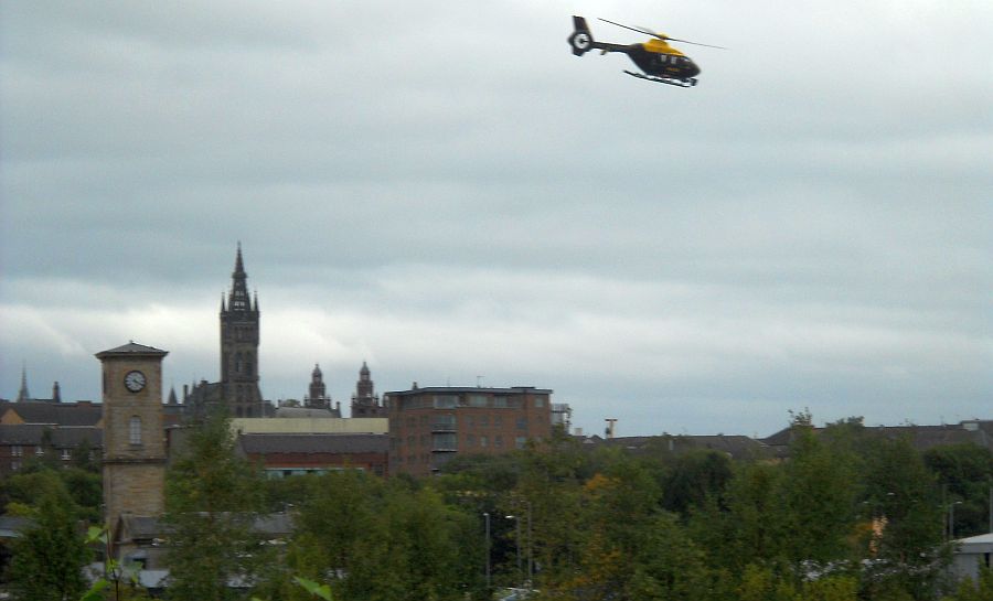 Helicopter
from heliport
above Glasgow |
 |
 Route
Map of the River Kelvin Way
|
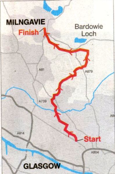 Route
Map of the River Kelvin Way
|
RIVER KELVIN WAY - ROUTE DESCRIPTION:
Location: Glasgow
Map: OS Landranger 64
Distance: 7 miles [11km}
Time: 3~4 hours
Terrain: Riverside path
The River Kelvin rises in the Campsie Fells and flows south into Glasgow to meet the Clyde.
The section from Kelvingrove to Maryhill has long been established as a path and cycle route, but some years ago the path was
extended north to follow the Kelvin and then the Allander Water into Milngavie, where it links with the start of the West Highland Way.
From Kelvin Bridge the route heads north with several turnoffs leading to the Botanic Gardens.
You pass an 18th-century flint mill, a reminder of the industry that once thrived along the river.
This led to the Kelvin becoming little more than a sewer as effluents of many kinds were poured into it.
In recent decades, the industry has largely gone and a big effort has been made to clean the Kelvin successfully, as can be seen by the
birdlife and by the fact the river now has its own angling association.
It also has its own conservation group. Friends of the River Kelvin (FORK), whose website ( www.fork.org.uk )
contains much information about the river and details what they do to help conserve and improve it.
After 3km on a path you reach the aqueduct carrying the Forth and Clyde Canal over the river.
It is worth taking the short diversion up to see the aqueduct and the impressive flight of Maryhill Locks.
After this you reach the only problematic part of the walk.
Glasgow’s enthusiasm for creating cycleways is to be applauded but in the Maryhill area the profusion
of cycleway signs seems to have overtaken the path route.
Following the route I describe is however easy enough and will lead you back to the river ( which has meanwhile rmeandered through the
University Science Park ) for the second stage of the walk.
This is amazingly different and quiet considering how close you are to the city. You may well see herons fishing
on the river and it is a beautiful stroll up to Balmuildy Bridge.
The path can become overgrown, though it can be followed easily enough.
The path improves again after Boclair and provides a lovely walk into Milngavie, maintaining its rural nature right up to the outskirts of the town.
Route:
Start at Kelvinbridge underground station.
Walk down to river, cross footbridge and TR.
Follow riverside path for 3km to canal aqueduct.
Go up ramp to view Maryhill Locks.
Return to path and TR.
Path climbs away from river and through a park then cuwes right by a wall to meet a road.
lgnore path sign on left and continue to cross Maryhill Road and enter Maryhill Park.
Follow main path, keep right at junction and cross park past play area to far corner.
TL on road past John Paul Academy and riding stables.
Go through gate on to track down to river.
TR and follow path for 2.5km to Balmuildy Bridge.
Cross road then cross river by footbridge and TR to follow overgrown path along riverbank.
Watch for stile on L and continue with path by Allander Water.
Go under road and then up steps to cross second road at Boclair.
Follow good straight path for 1km to Prescott Bridge.
Cross bridge and TL on track leading into Milngavie.
TL at road under raiiway then TR and follow D9111 through wood and then as signed to town centre and railway station.
 :: Clyde River
Walkway
:: Clyde River
Walkway 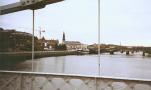 :: Kelvin River Walkway

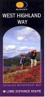
Glencoe | Ben Nevis | Knoydart | Isle of Skye | Isle of Arran | The West Highland Way
The Eastern Highlands | The Central Highlands | The Southern Highlands | The NW Highlands