  |
The West Highland WayLoch Lomond
Rowerdennan to Rowchoish |
  |
| |
The West Highland WayLoch Lomond
Rowerdennan to Rowchoish |
|
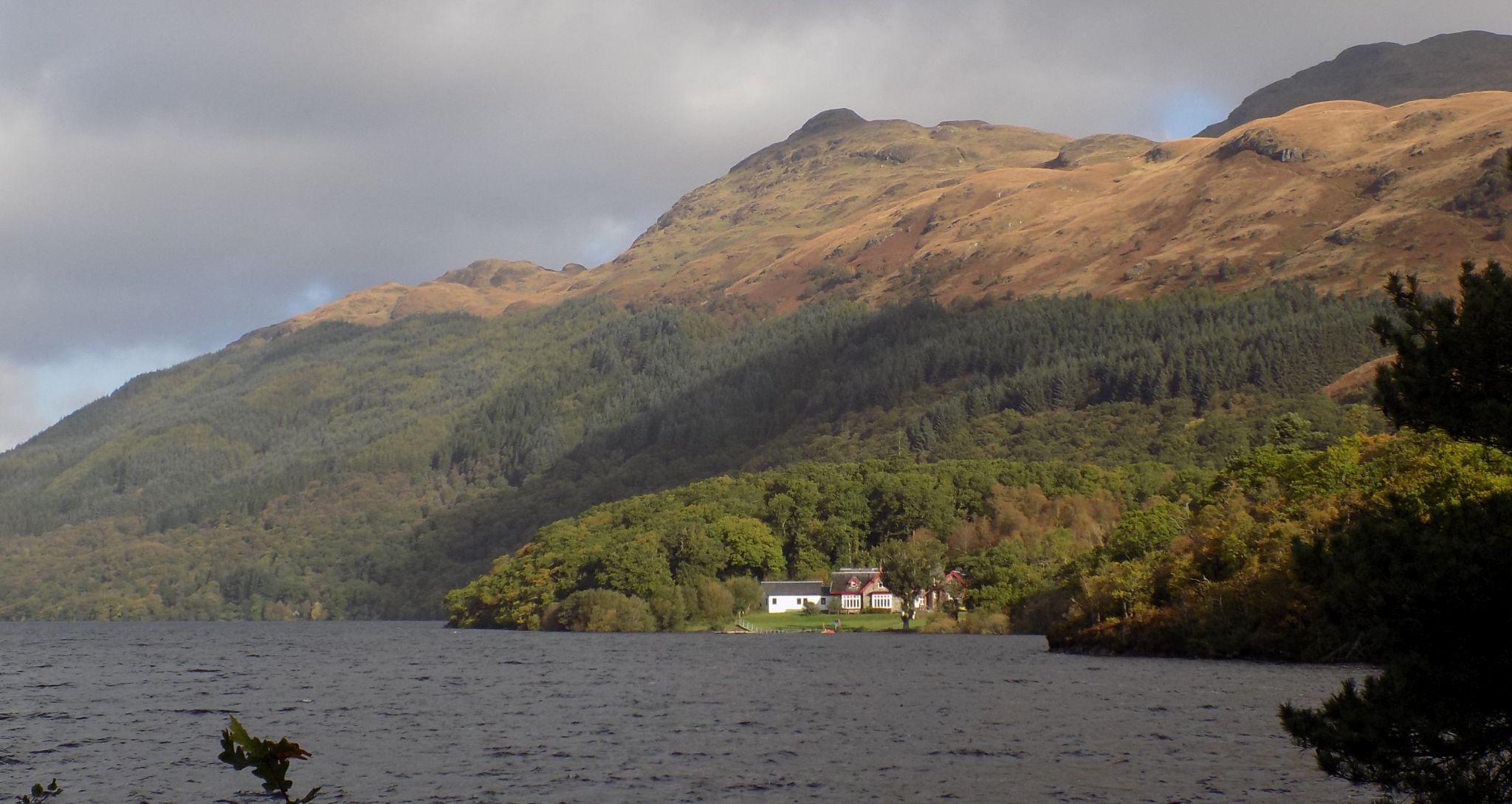 |
 Loch
Lomond
from Rowardennan. |
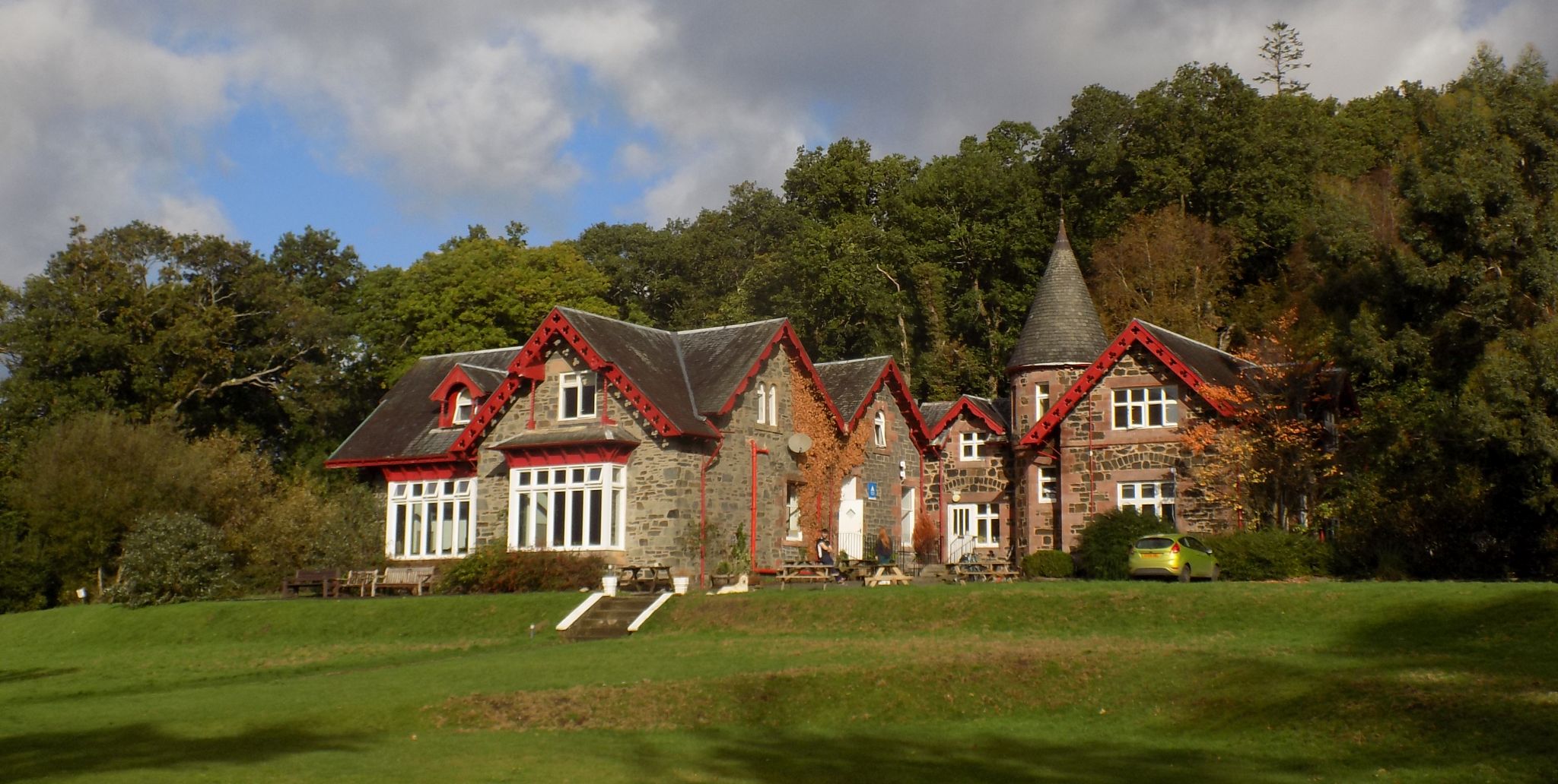 Youth
Hostel
at Rowardennan |
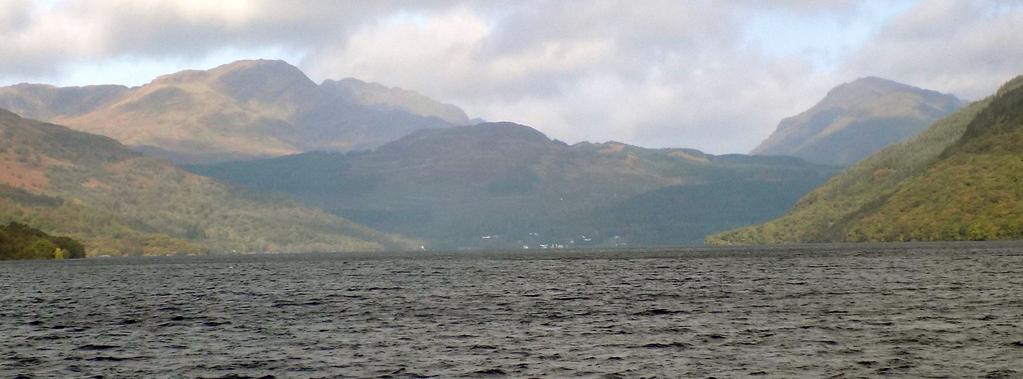
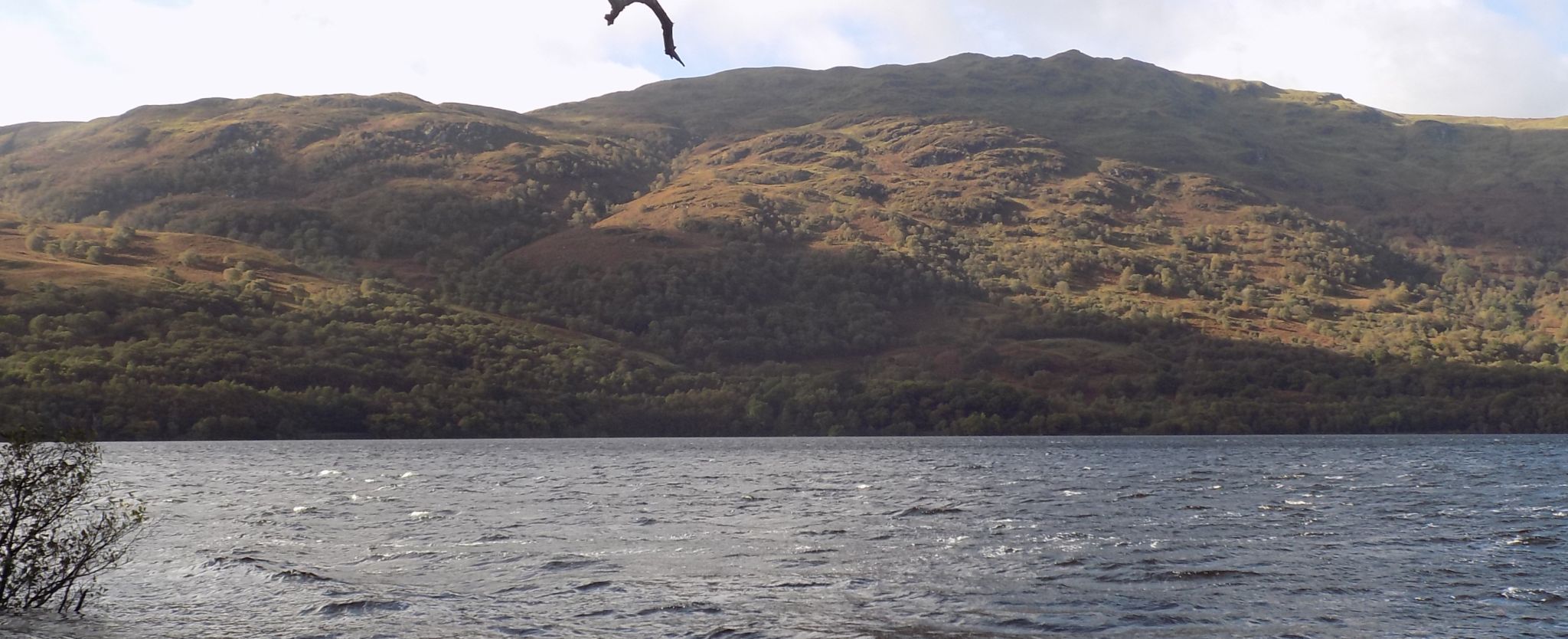
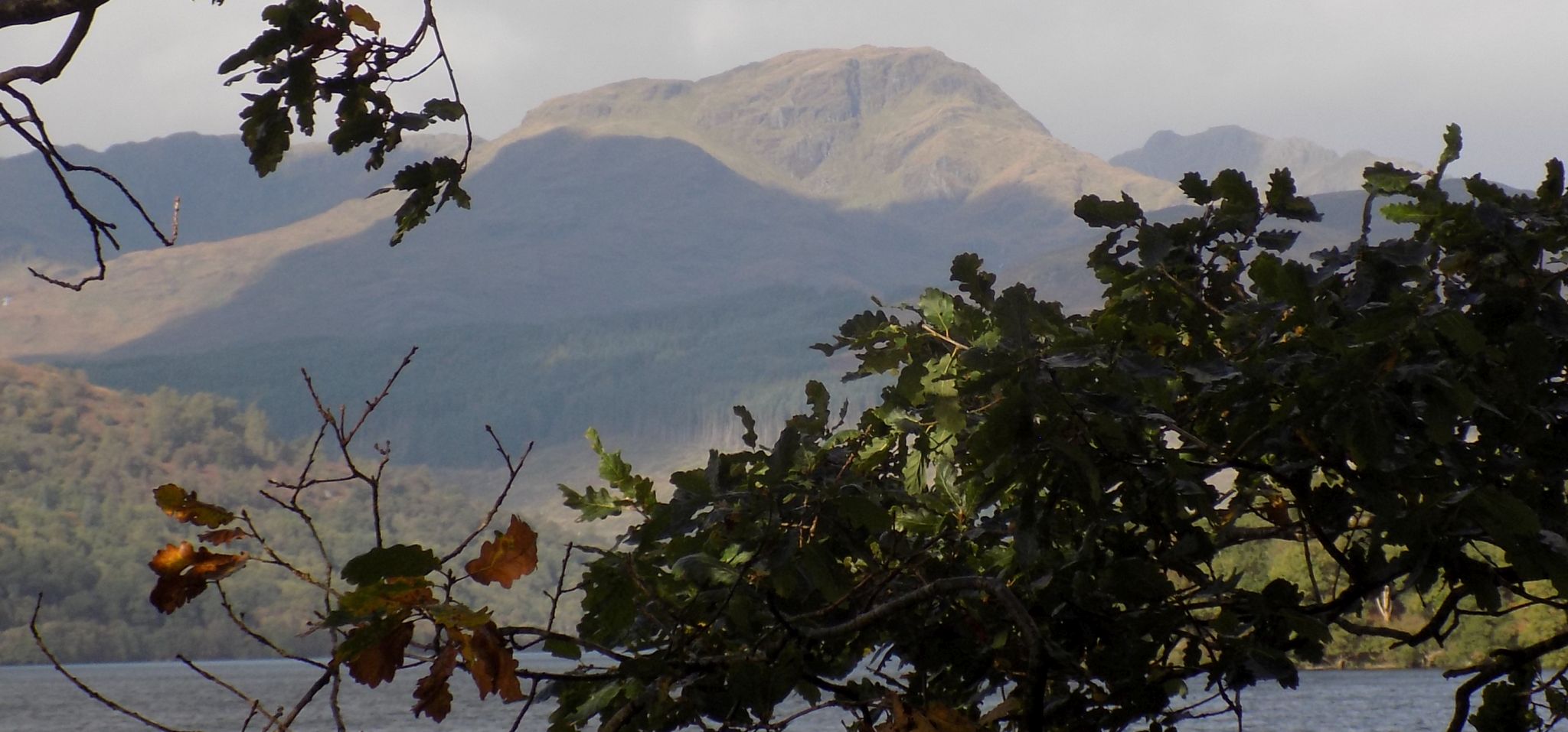
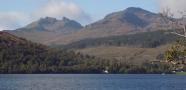
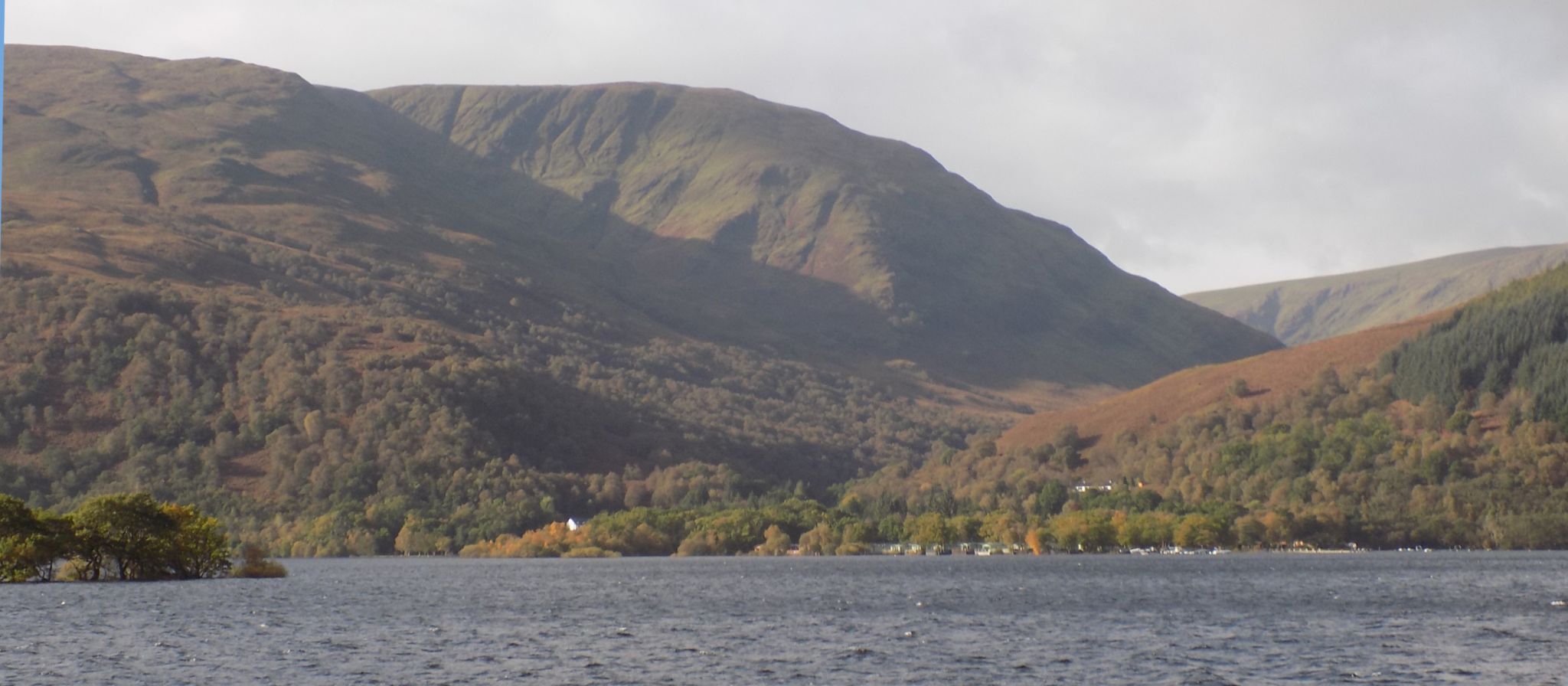 Luss Hills
across Loch Lomond
from Rowardennan |
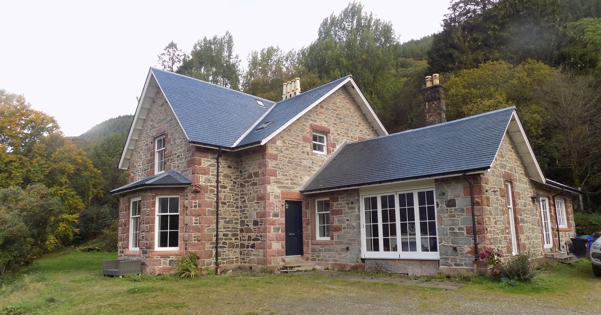 Ptarmigan Lodge on West
Highland Way
along Loch Lomond |
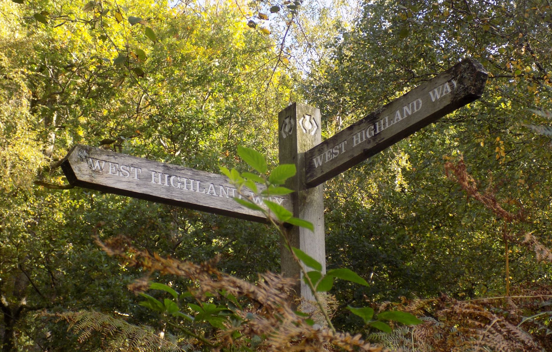 Signpost at branch
point on West Highland Way
Marks turn-off for path to Rowchoish |
 |
 |
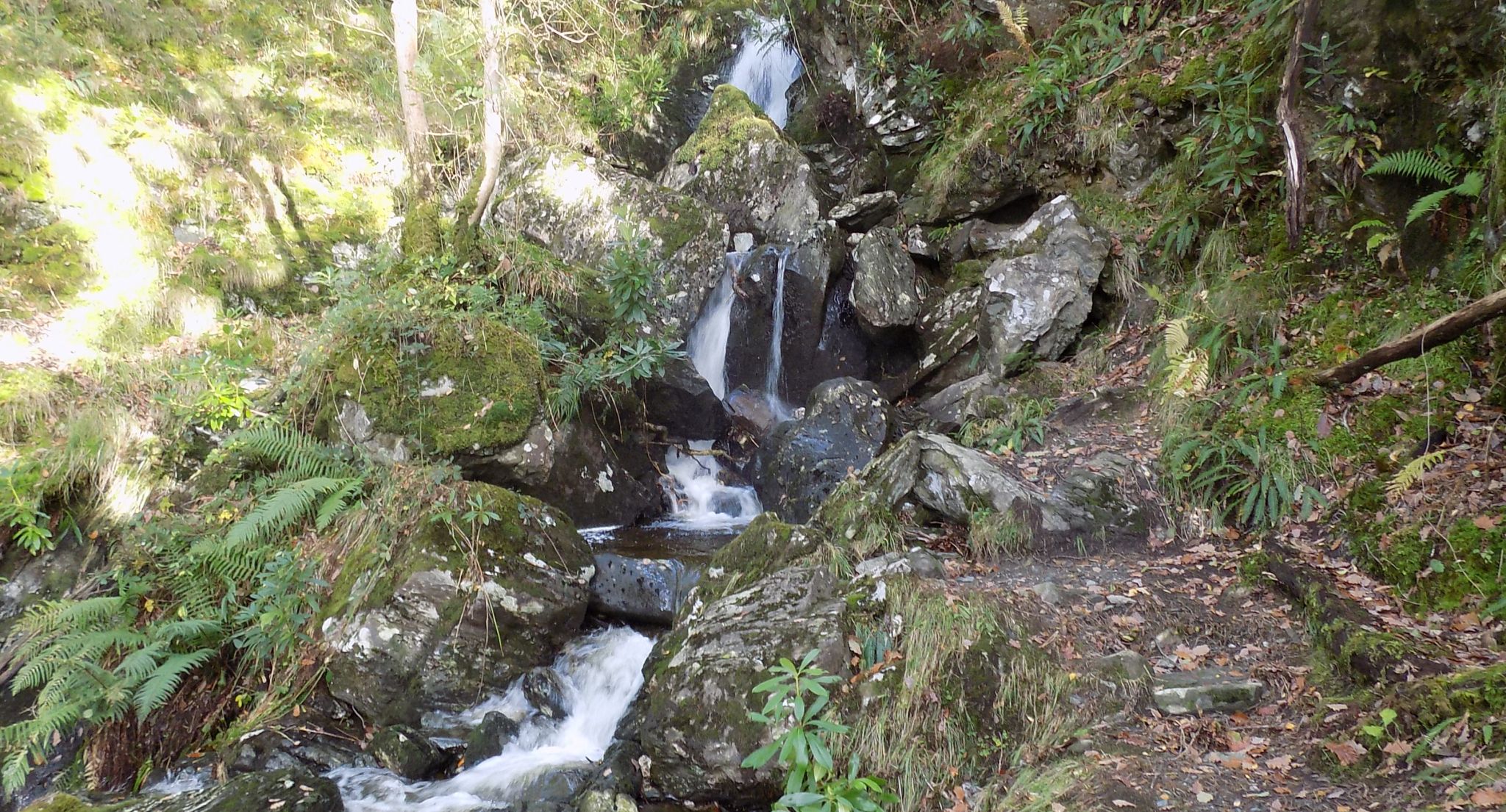 Waterfall
above the West Highland Way |
 |
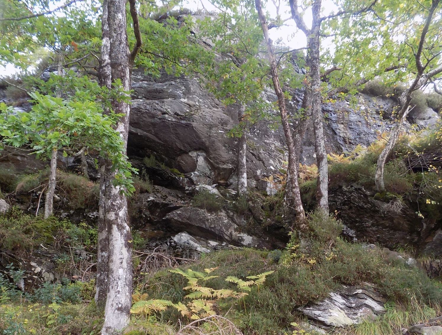 Rock Crags above
the West
Highland Way
|
 |
 |
 |
 |
 |
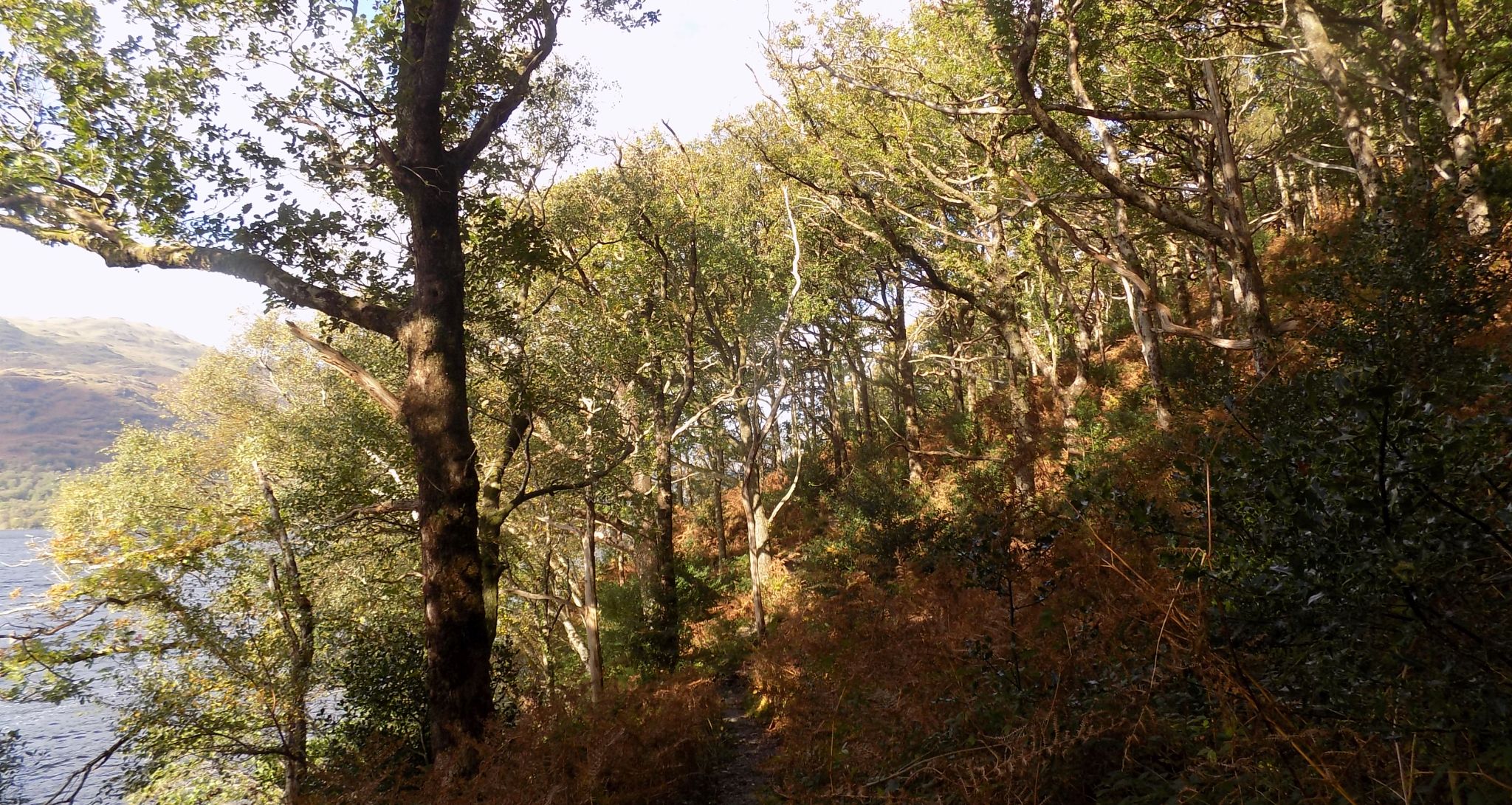
 West Highland Way
along Loch Lomond |
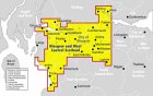
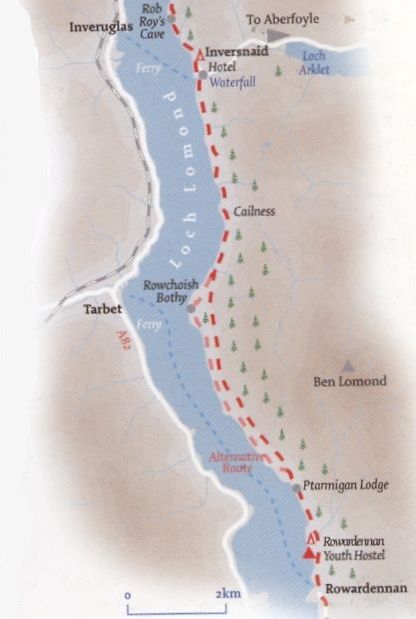
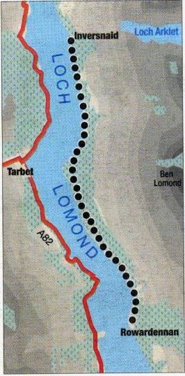
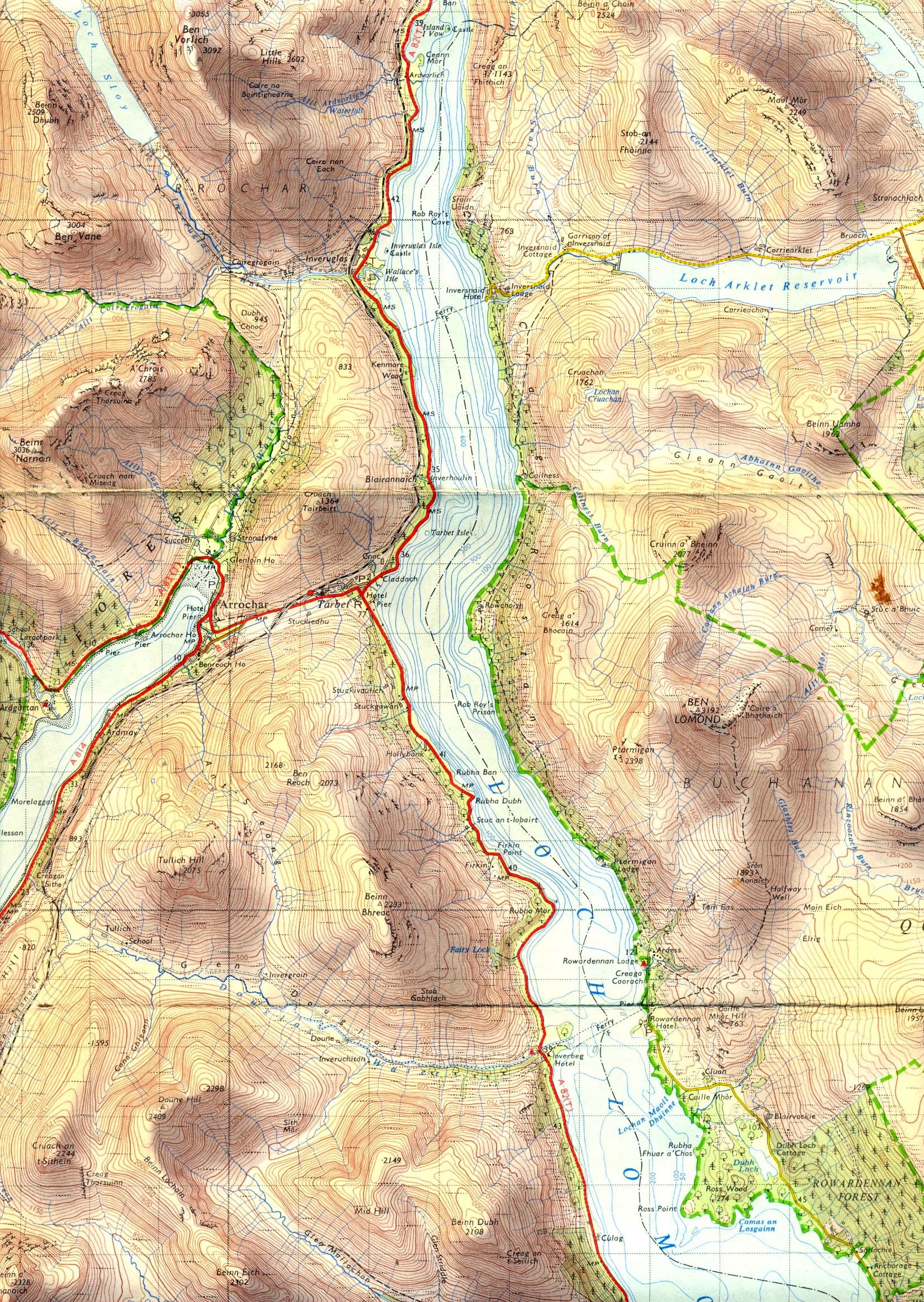
 Map of Route
from Rowardennan to Rowchoish |
 Map of Route
from Rowardennan to Rowchoish |
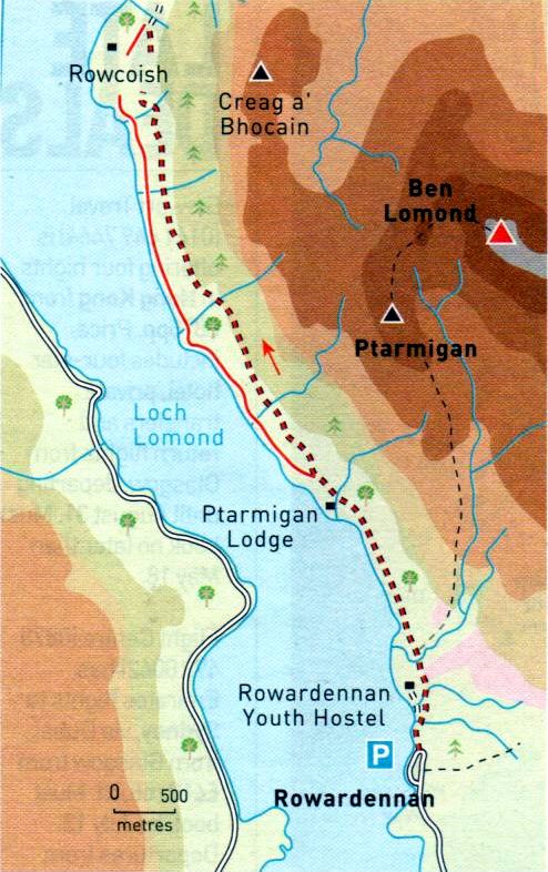
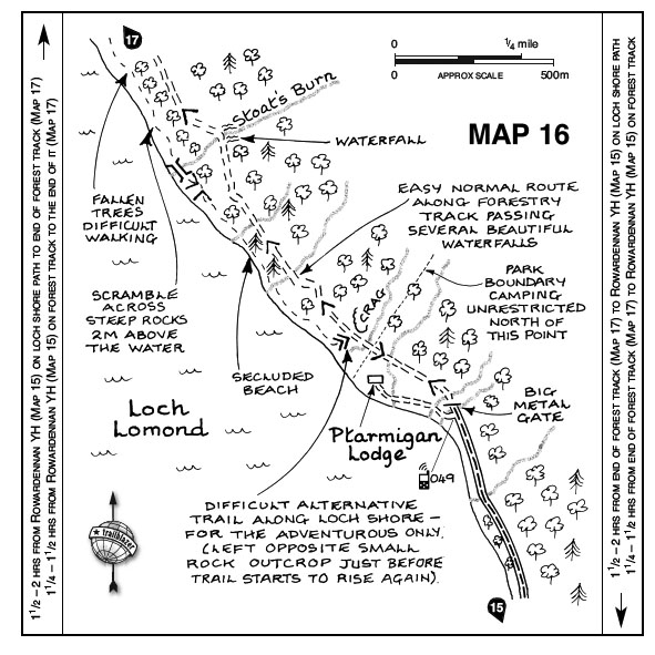
ROWCHOISH CIRCULAR WALK - ROUTE DESCRIPTION:
Start and finish: Rowardennan Forestry car park
Distance: 9 miles [ 14.5km ]
Time: 4 hours
Map: O5 Landranger 56
Terrain: tracks and paths; rough, muddy and scrambly in places
Grade: moderate
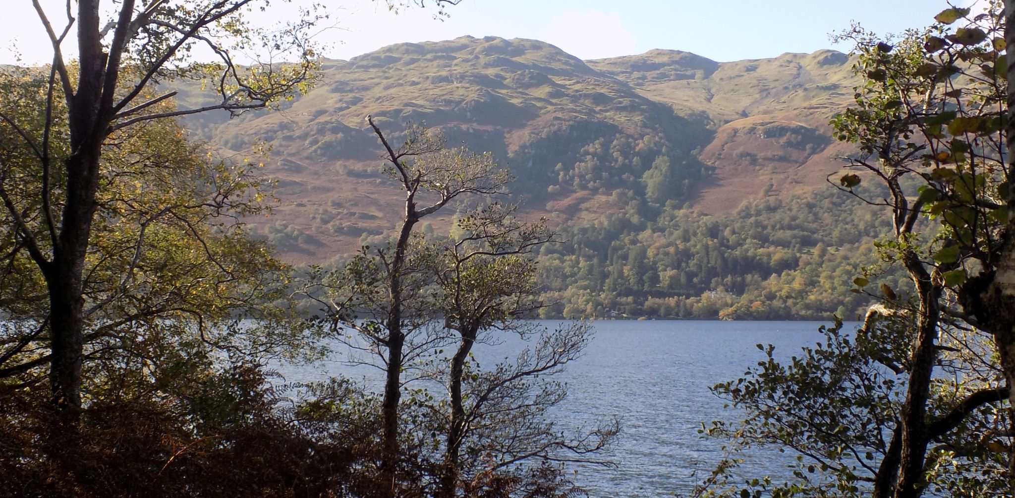
North of Rowardennan, the WHW follows the shore of Loch Lamond to Inversnaid.
Most walkers now take the easy forest track for much of this section, but the older lochside path with footbridges and WHW waymarks is still there,
making a circuit possible from Rowardennan to Rowchoish and back.
Although this is quite a straightforward route, it is long and the lochside path quite rough and rocky in places with scrambly bits,
so it’s easy to see why backpackers with heavy ruclcsacks prefer the easier forest track.
These aren't problems for the day walker though and the lochside route through oak and birch wood carpeted with bluebells is stunningly beautiful in spring.
From the car park at Rowardennan follow the WHW north, passing a circular granite sculpture to gain the track to Rowardennan Youth Hostel.
Follow this past the lane leading to the National Trust for Scotland Ranger Centre at Ardess.
Continue on the WHW, passing to the right of Ptarmigan Lodge where the track starts to ascend steadily.
Down on the left, at a point where the grounds of Ptarmigan Lodge end look out for a path ascending from the lochside woodland to join the main track.
This is the return path.
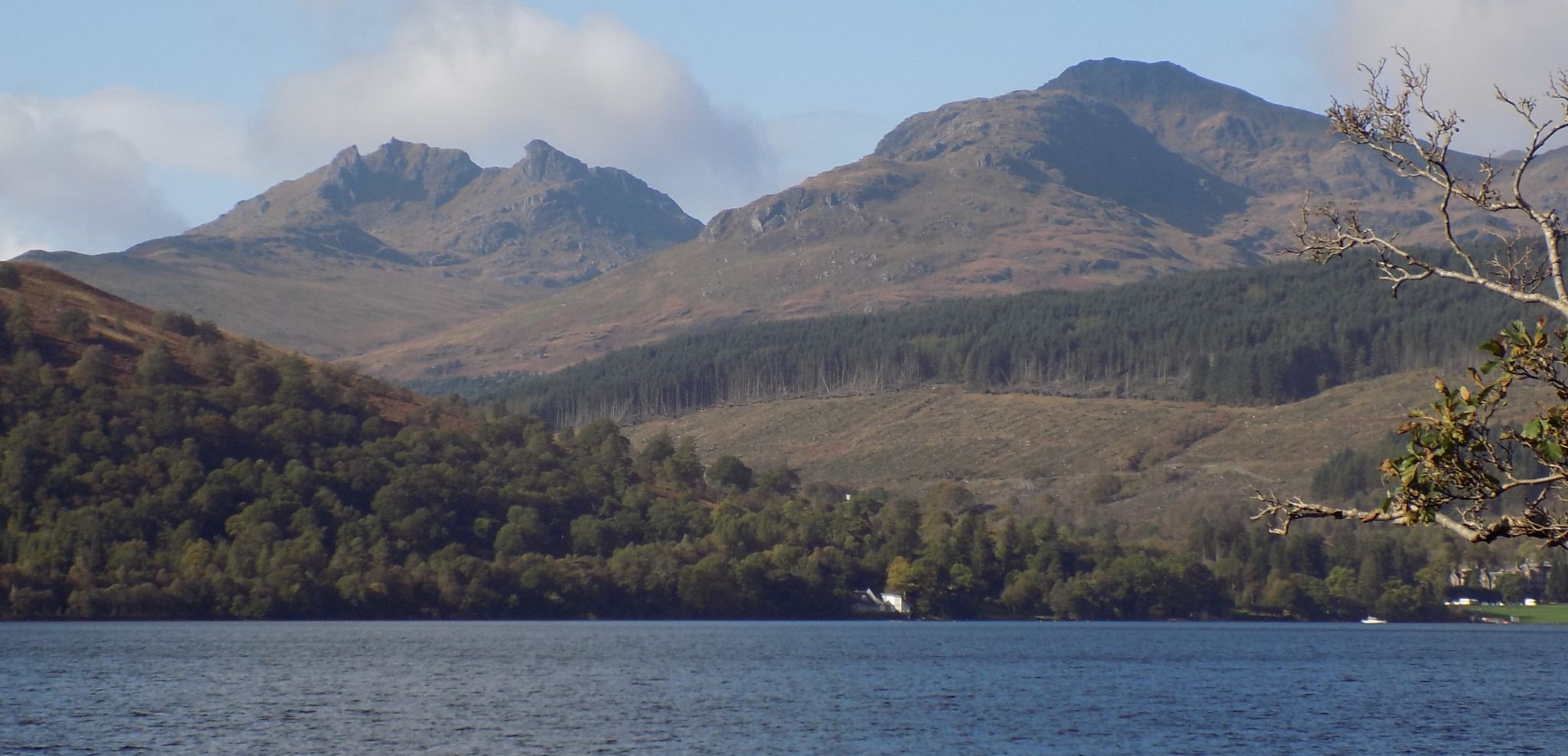
Remain on the track as it skirts the flanks of Ben Lomond with occasional views over the loch to the Cobbler and Beinn Narnain.
Towards the end of the first section the track starts to descend a long hill through broadleaf woodland.
About three-quarters of the way down an obvious path leads off to the left into the woodland.
If you reach a point at the bottom of the hill where the track turns into a lochside footpath, you have descended too far.
After leaving the track, the path contours the hillside south above the loch, passing a right turning to Rowcoish.
Remain on the path over various footbridges and boardwalks, following the WHW signs.
The path is a little rocky in places with some scrambly bits including one exciting section above the water where an iron
bar assists progress across a rocky step.
Near to Ptarmigan Lodge the path ascends to gain the main track, which you follow back to the car park.
 |
WEST HIGHLAND WAY FROM ROWARDENNAN TO INVERSNAID - ROUTE DESCRIPTION:
Location: Loch Lomond
Map: OS Landranger 56
Distance: 6.5 miles [ 11km ]
Time: 3-4 hours
Terrain: easy walking
Many people walk the West Highland Way as one expedition, but much fun can he
had from doing it in sections, particularly if you are prepared to be a bit innovative with transport links.
The excellent Loch Lomond Waterbus service can provide a wonderful prelude and coda to
the walk between Rowardennan and Inversnaid up the east side of the loch, an advantage if you buy a Rambler
ticket on the boat you get a glass of wine on the return journey.
The boat timetable allows enough time to do the walk comfortably without hurrying; if you do finish a little early the
Inversnaid Hotel offers refreshment and if you get behind schedule there is another boat in the late afternoon.
The walk is straightforward and offers great views across the loch and towards its northern end.
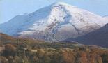
From Rowardennan you climb steadily through mature forest to a high point of about 820ft ( 250m ) on the steep slopes below Ben Lomond.
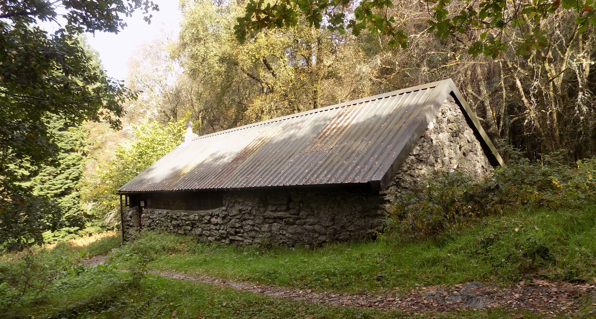
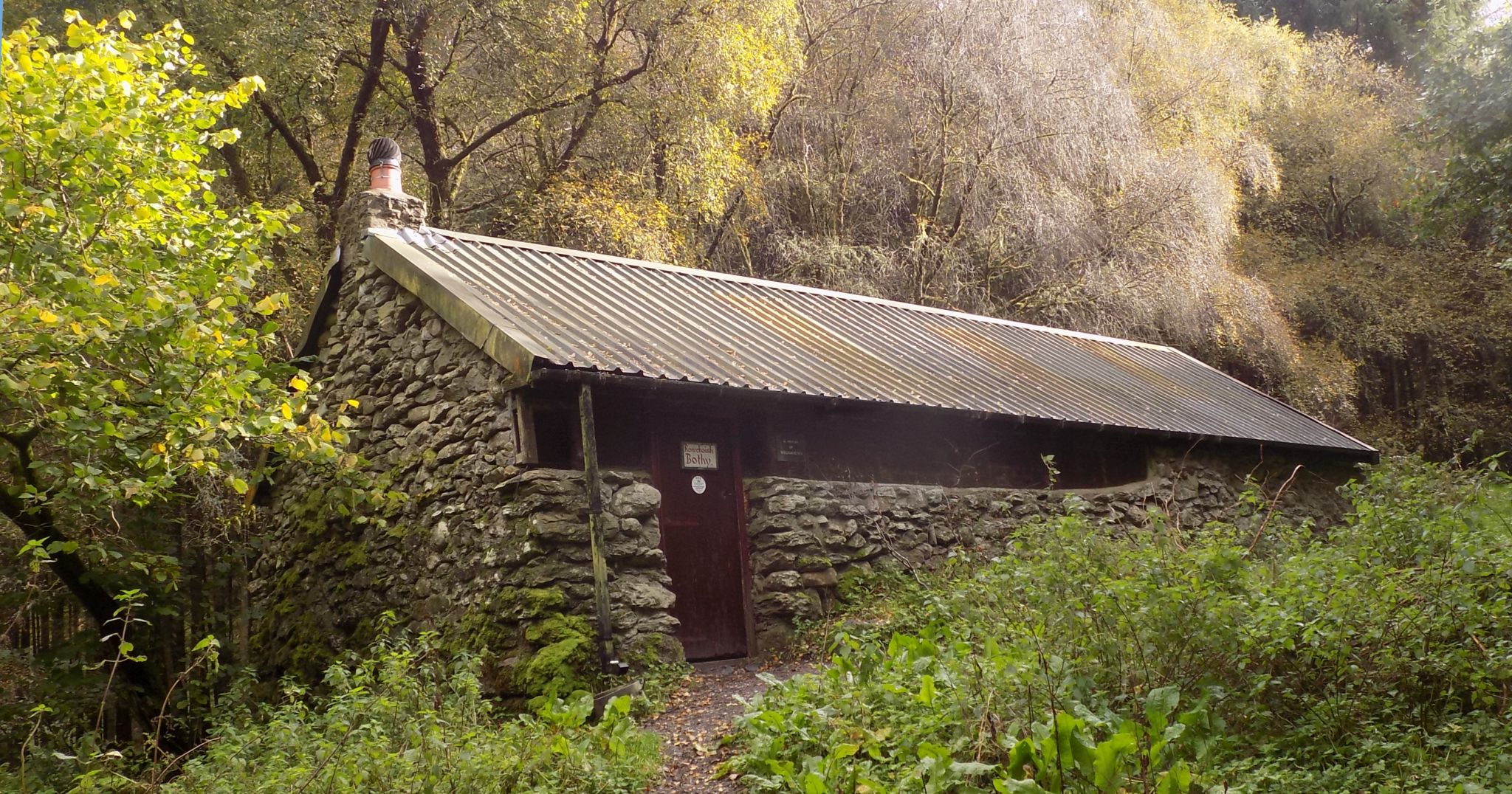
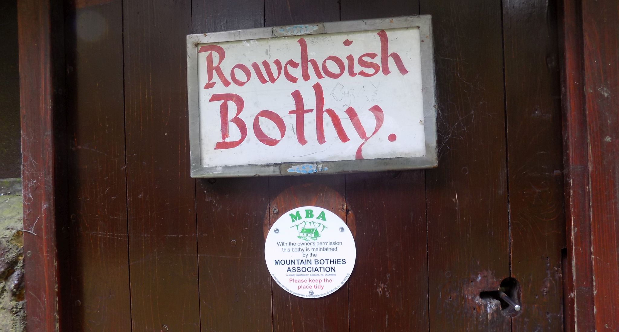
After that there is a steady descent, passing just above the bothy at Rowchoish, which is dedicated to the memory of Willie Ferris,
a great champion of the outdoors.
There is an alternative lower level WHW route that passes the bothy, but the higher route gives better views and brings you
down to the loch shore just before the neat cottage at Cuilness.
After this it is a stroll through the woods, including some splendid oak woodland, to the magnificent waterfalls at Inversnaid,
made famous by the poet Gerard Manley Hopkins.
The final section has a bit of up-and-down work.
There is an RSPB reserve at Inversnaid, and this is all Rob Roy country; many are the tales of the notorious MacGregor chief and his wild clansmen.
Sir Walter Scott’s reworking of this and other stories started the tourist business here.
Early visitors were William Wordsworth and his sister Dorothy, who passed this way in 1803.
This is a typical stretch of the WHW with its variety of terrain, good quality paths and plenty of added interest.
You can reflect on this as you cruise back across the loch with your glass of wine; looking back you can see practically the whole section you have just walked.
 Map of
Loch Lomond
from Rowardennan to Inversnaid ( Note: Click here or on above for large format copy ) |
 |
 :: Rowardennan to Inversnaid
Gallery
:: Rowardennan to Inversnaid
Gallery 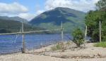
 :: Ben Lomond
Gallery
:: Ben Lomond
Gallery 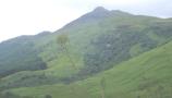
Glencoe | Ben Nevis | Knoydart | Isle of Skye | Isle of Arran
The Eastern Highlands | The Central Highlands | The Southern Highlands | The NW Highlands