

Snow fell steadily, although already into May, on the long climb on Interstate 70 from Denver - the "Mile High City" - to the 10,660 foot Vail Pass on the Continental Divide - the chain of mountains forming the watershed of the North American Continent and a major obstacle to the early pioneers - but cleared on the descent as the broad highway emerged from the Colorado Rockies into flat, open country.
Late in the afternoon, beyond the sprawling, low-rise town of Grand Junction, a turnoff wound up through arid scrubland to the top of a vast mesa - the Colorado National Monument - and skirted round the rim of a deep canyon. From the edge unfolded superb views of huge, sandstone monoliths rising from the valley floor. Strangely eroded by the wind, they are named according to their appearances:- "Kissing Couple", "Pipe Organ", "Coke Ovens" with the isolated 450 foot "Independence Monument" being the most impressive .
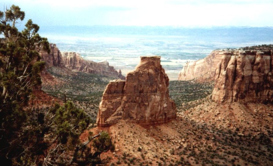 Independence Monument in the Colorado National Monument |
Continuing west through flat, featureless plains Interstate 70 turns south to enter Utah and a region of red-sandstone cliffs where a twisting side-road leads up onto an extensive plateau and over a narrow, 40 foot wide isthmus to the "Island in the Sky" - the northern section of Canyonlands National Park.
It was only a short walk from my tent, pitched in the sandy soil amongst a grove of pinyon pines, to the "Green River Overlook" where one looks down from the edge of a 1000 foot precipice on a vast plain dotted with occasional mesa and gouged out by river gorges - it looks as if a piece has been removed from some gigantic jig-saw puzzle.
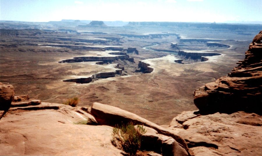 Green River Overlook from "Island in the Sky" in
Canyonlands NP |
An equally dramatic view obtains from the nearby "Dead Horse Point" on a gooseneck bend in the Green River, a tributary of the Colorado, and a splendid series of tiered cliffs carved out of the sandstone bedrocks.
At a campfire talk that evening a Ranger told of the Anasazi Indians who had once inhabited the mesa tops of the region before mysteriously disappearing - probably driven out by marauding Apaches.
30 miles further south lies the entrance to Arches National Park with the greatest concentration of natural stone arches in the world. From the highway one climbs beneath towering, orange-sandstone terraces to pass the monumental monoliths of the "Courthouse Towers" and the tall, vertical fins of the "Fiery Furnace" to reach the camping grounds amongst the great boulders of the "Devil's Garden".
Several excursions are necessary to explore the many fantastic features of the extensive park. A first foray was an all-day hike from the campsite through an arid waste of wierd, wind-battered rocks including seven of the amazing arches - the most spectacular was "Landscape Arch" with its astounding 300 foot span - one of the longest in the world and only a matter of time before it collapses. I was almost back at my tent when the sky suddenly darkened and a fierce sand storm blasted through the rocks - a taste of the elemental forces in action.
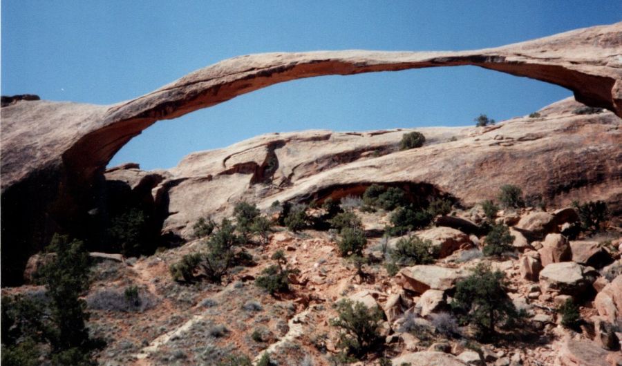 Landscape Arch in Arches National Park |
A second foray via the abandoned log cabins of Wolfe Ranch and across a bare rock plateau led to the elegant and astonishing "Delicate Arch" poised on the outer edge of a huge sandstone bowl. Framed within its portals lay the distant, snow-capped peaks of La Sals. A third foray through the mountain-desert wilderness of the Klondike Bluffs gained the secluded "Tower Arch" in a remote corner of the park.
Leaving Arches, with the sandstone cliffs glowing a fiery red in the morning sun, I continued south through Moab before heading west past the two "Six-Shooter" Peaks to enter the Needles District of Canyonlands.
From the carpark at Elephant Hill a cairned trail leads across desert scrub into a startling landscape of gigantic, orange-and-white banded, rock pinnacles and spires. Enclosed within the spectacular array lies the extraordinary Chesler Park with its broad expanse of green, grassy meadows. A profusion of colourful butterflies, grasshoppers and darting lizards abounded but other hikers were few and far between.
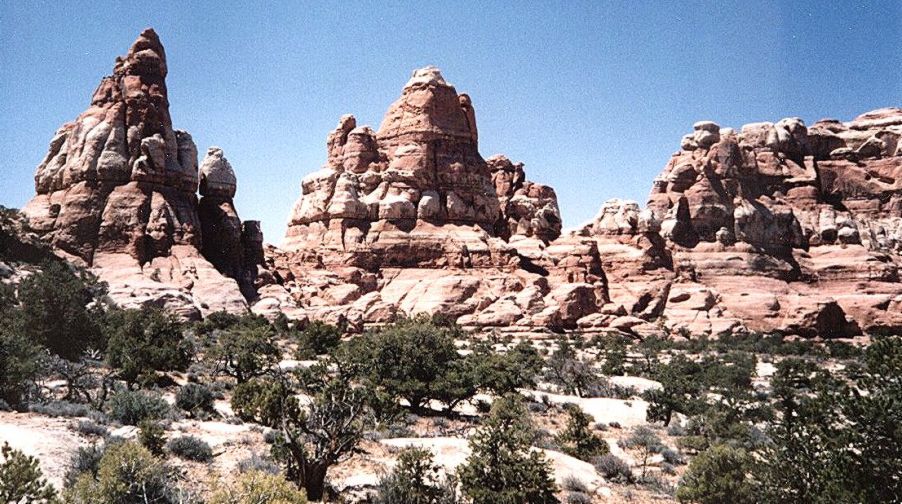 Needles District of Canyonlands National Park |
An intricate return route followed an elementary trail, marked by discreet signs, along narrow ledges, over polished, "slick-rock" surfaces, and through a maze of sandy-floored, dry-wash canyons surmounted by giant, mushroom-shaped pedestals of red-sandstone columns and white, domed caps - it was an exhilarating experience but a relief to escape the labyrinthe to rejoin the main trail.
Continuing south I reached the Navajo Indian Tribal Reserve of Monument Valley where an extremely rough, unsurfaced track, barely negotiable by two-wheel drive vehicles, enables a dusty circuit of the great sandstone buttes jutting proudly from broad, arid plains - the renowned setting for John Ford’s epic movie "Stagecoach".
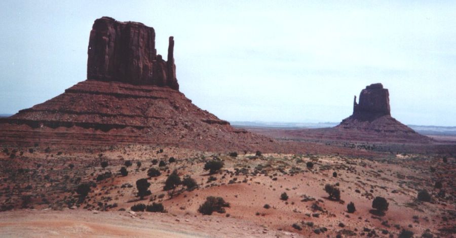 The "Mittens" in Monument Valley |
The primitive campsite on a windy terrace overlooks the mirror-image "Left-hand Mitten" and "Right-hand Mitten" - two of the marvellous monoliths. Were it not for the neighbouring RVs ( Recreational Vehicles - American term for mobile homes ) it would be easy to think one had returned in time to the days of the Old West.
( The Commentator, Glasgow Herald, 8th July 2000 )
Colorado Rockies | Colorado National Monument | Canyonlands & Arches | The Grand Canyon