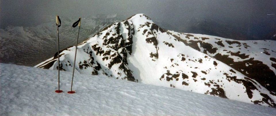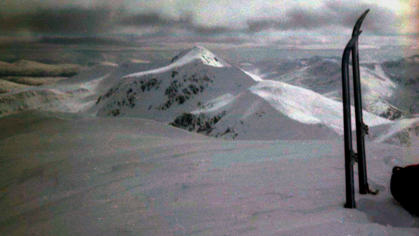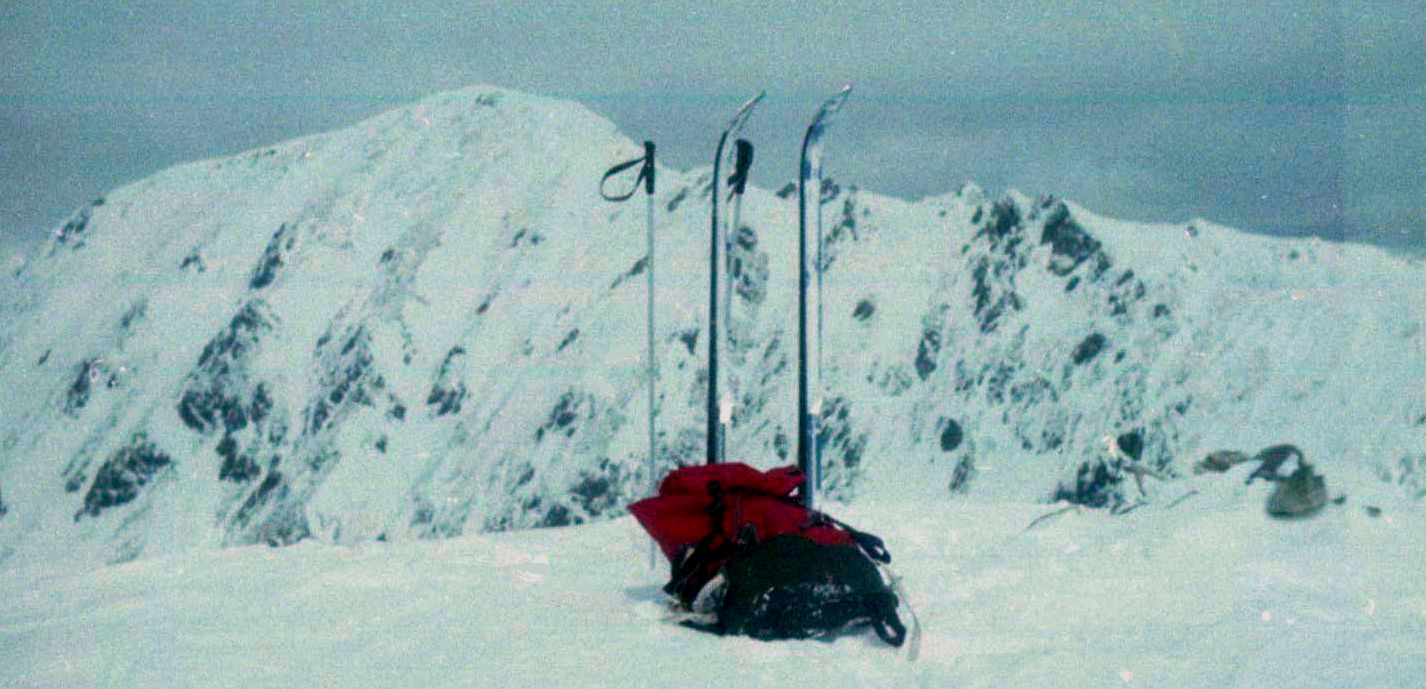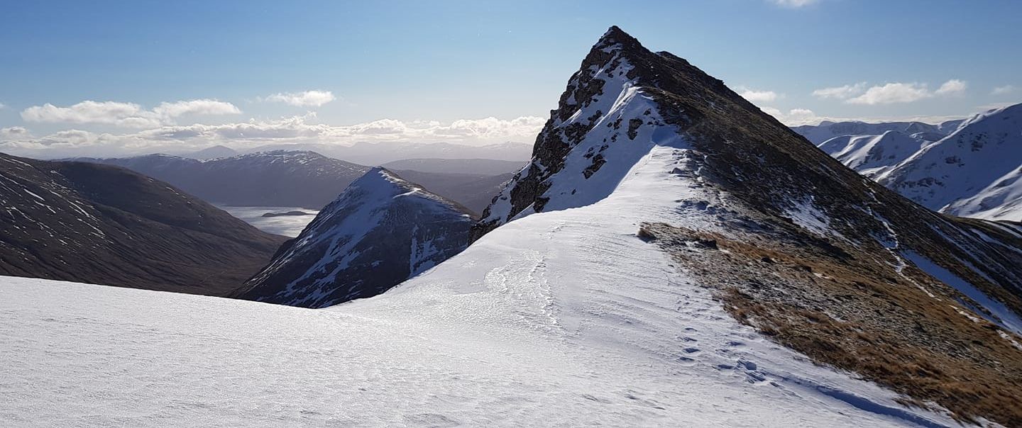
Mullach
Fraoch-choire
|
|
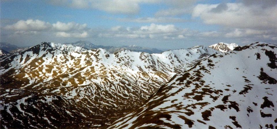
A'Chralaig to Mullach
Fraoch-choire ridge
|
|
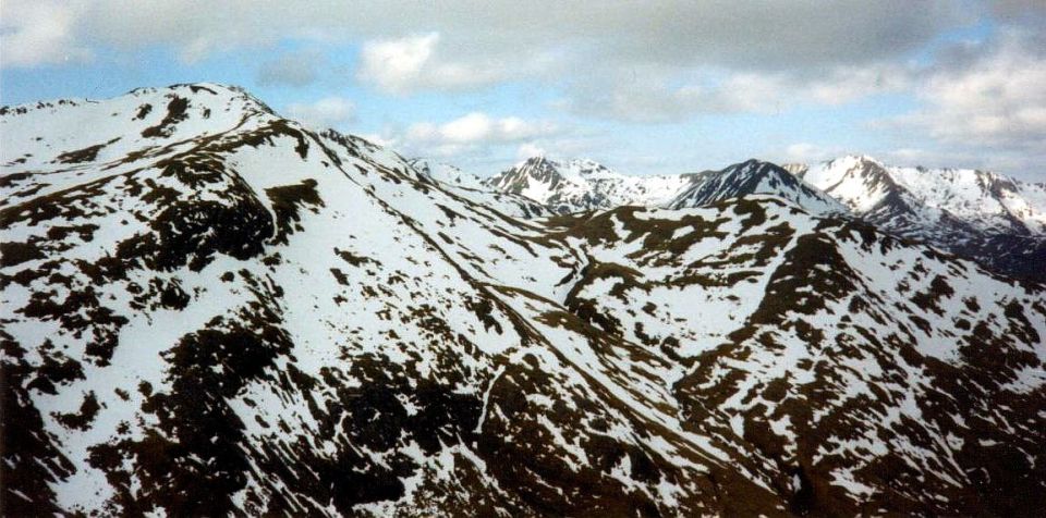
A'Chralaig to Mullach
Fraoch-choire ridge
|
|
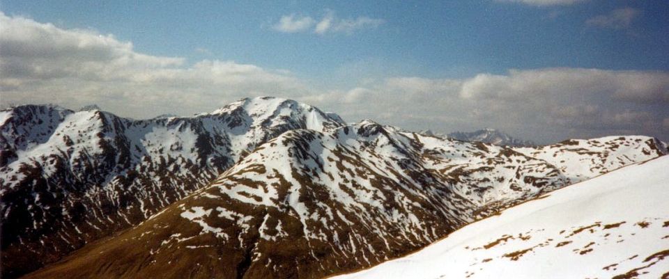
A'Chralaig to Mullach
Fraoch-choire ridge
|
|
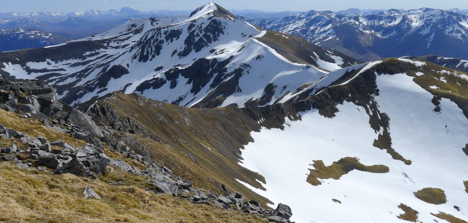
A'Chralaig to Mullach
Fraoch-choire ridge
|
|
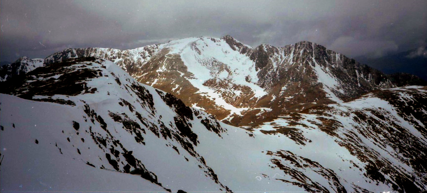
The Saddle
and Forcan Ridge above Glen Shiel
|

The Saddle
and Forcan Ridge above Glen Shiel
|
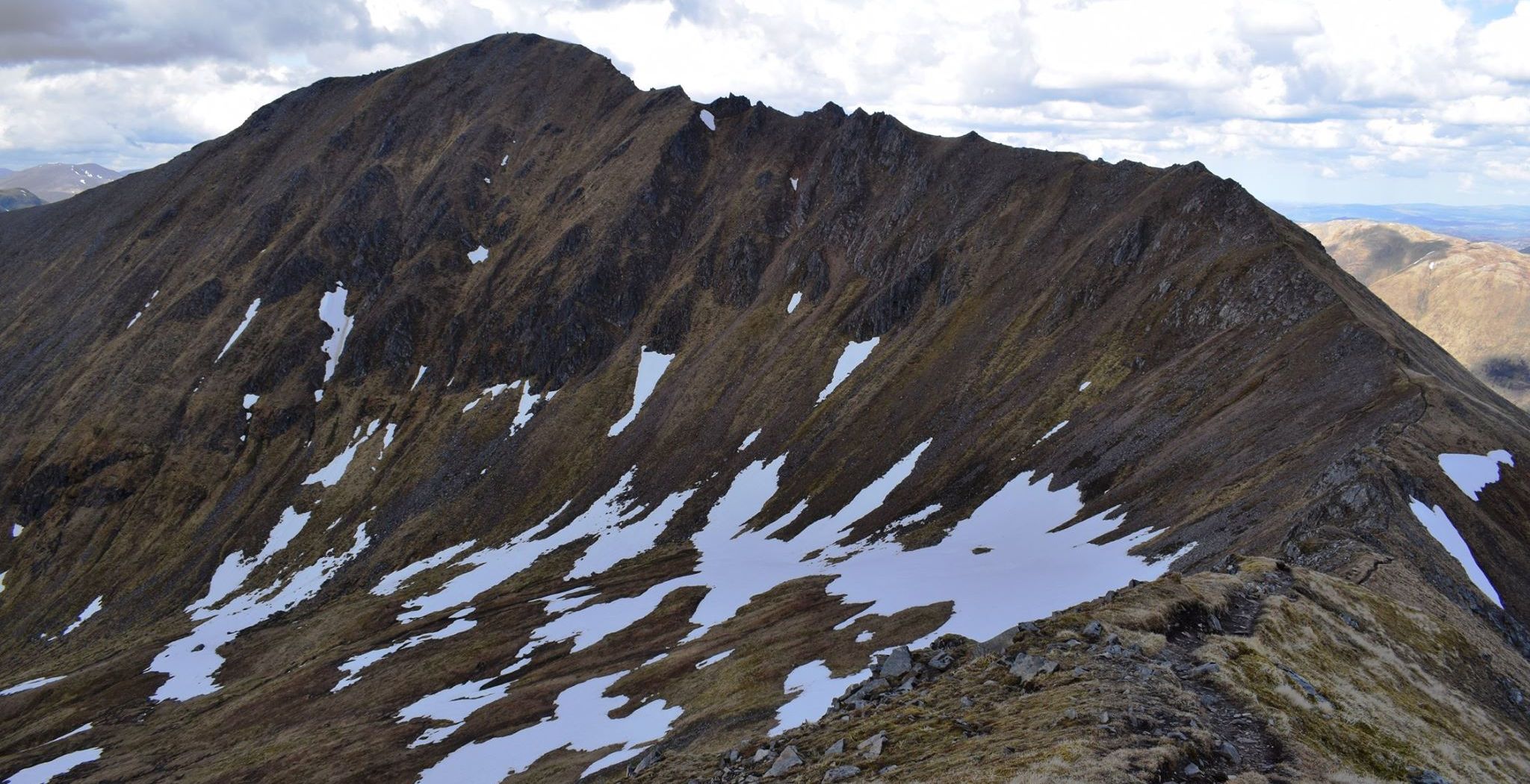
A'Chralaig to Mullach
Fraoch-choire ridge
|
|
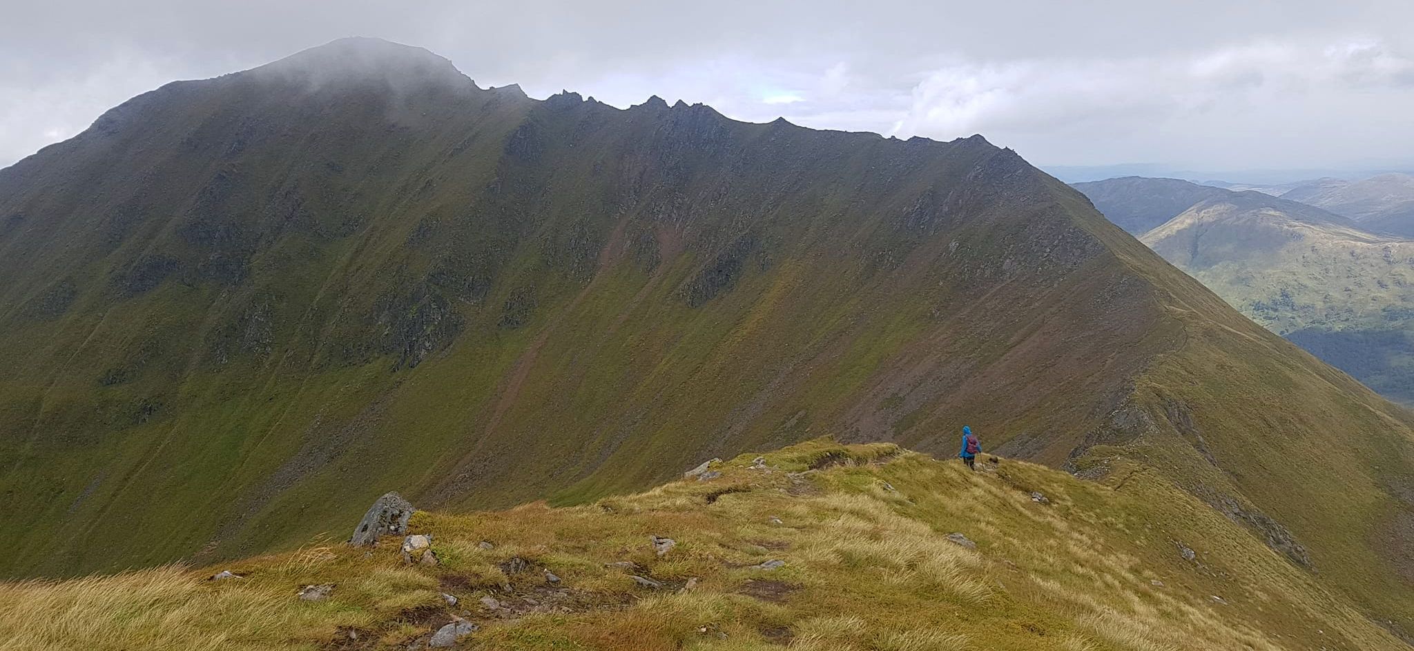
A'Chralaig to Mullach
Fraoch-choire ridge
|
|
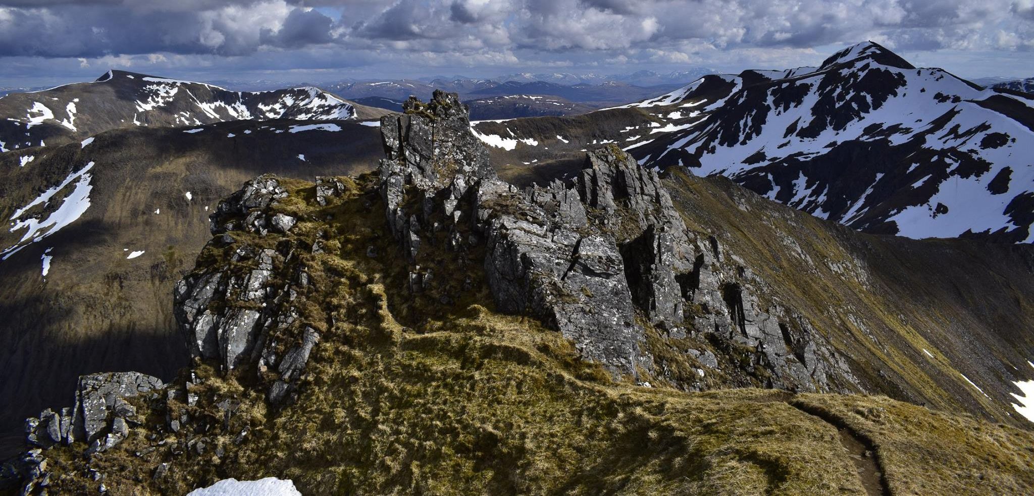
A'Chralaig to Mullach
Fraoch-choire ridge
|
|
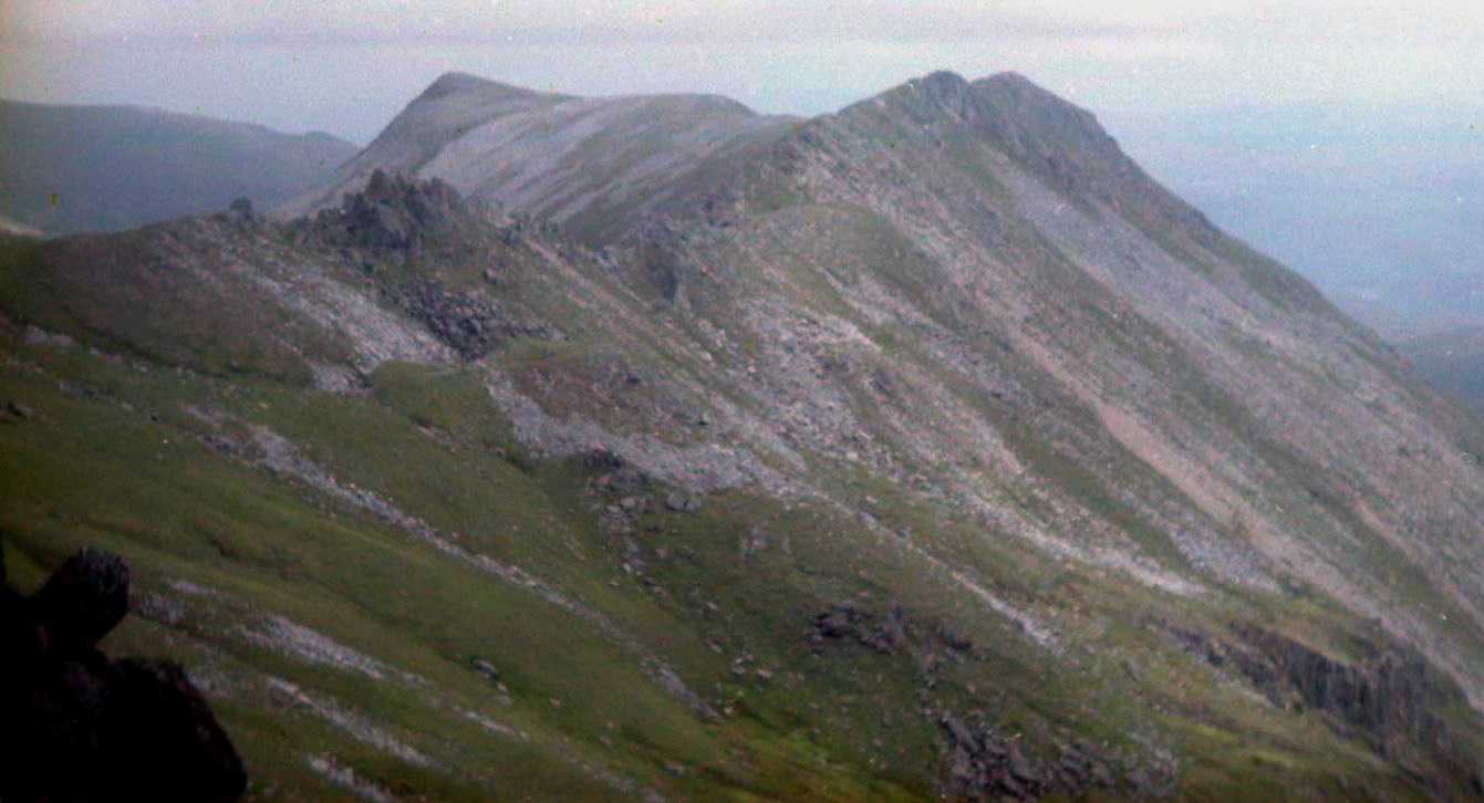
A'Chralaig to Mullach
Fraoch-choire ridge
|
|
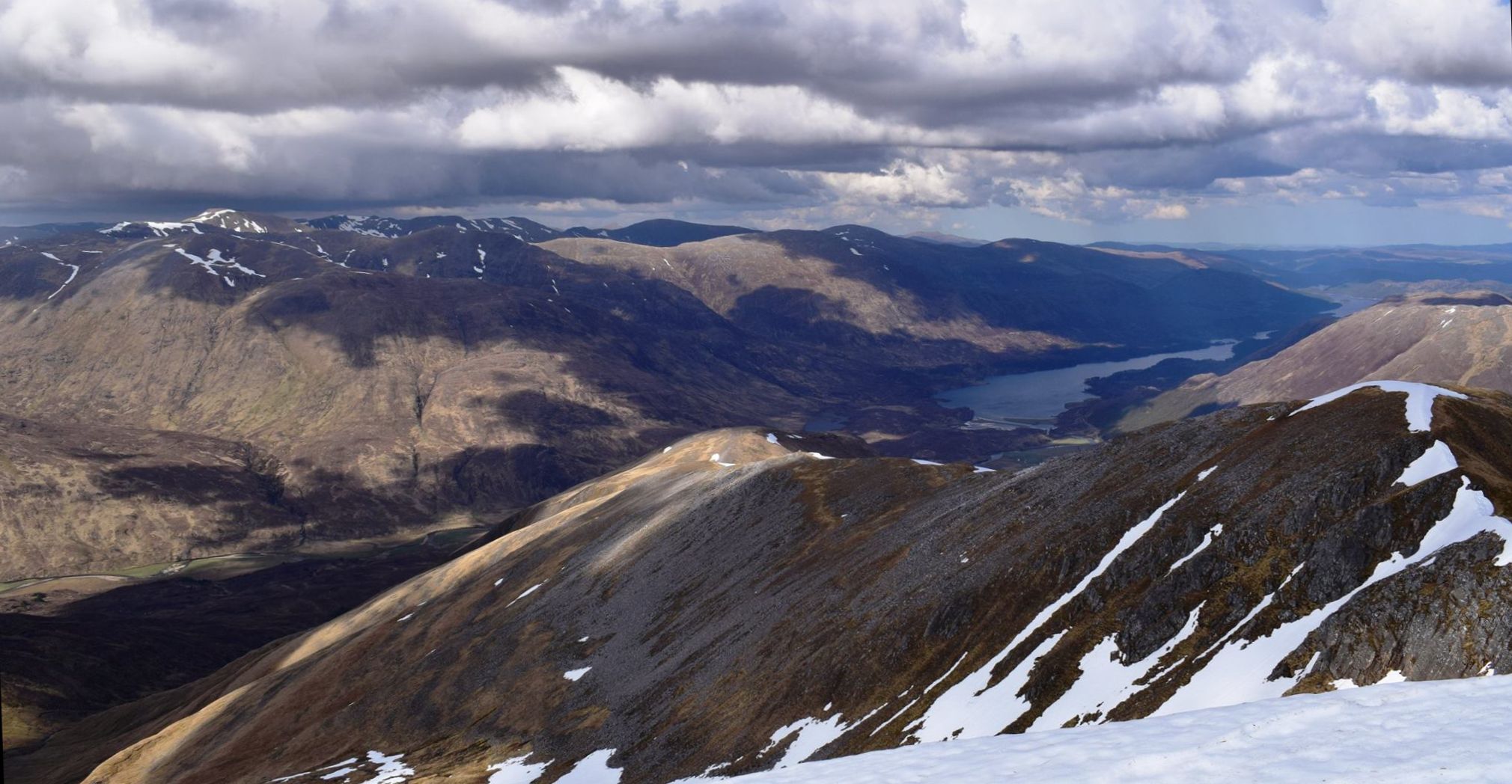
Glen Affric
|
|
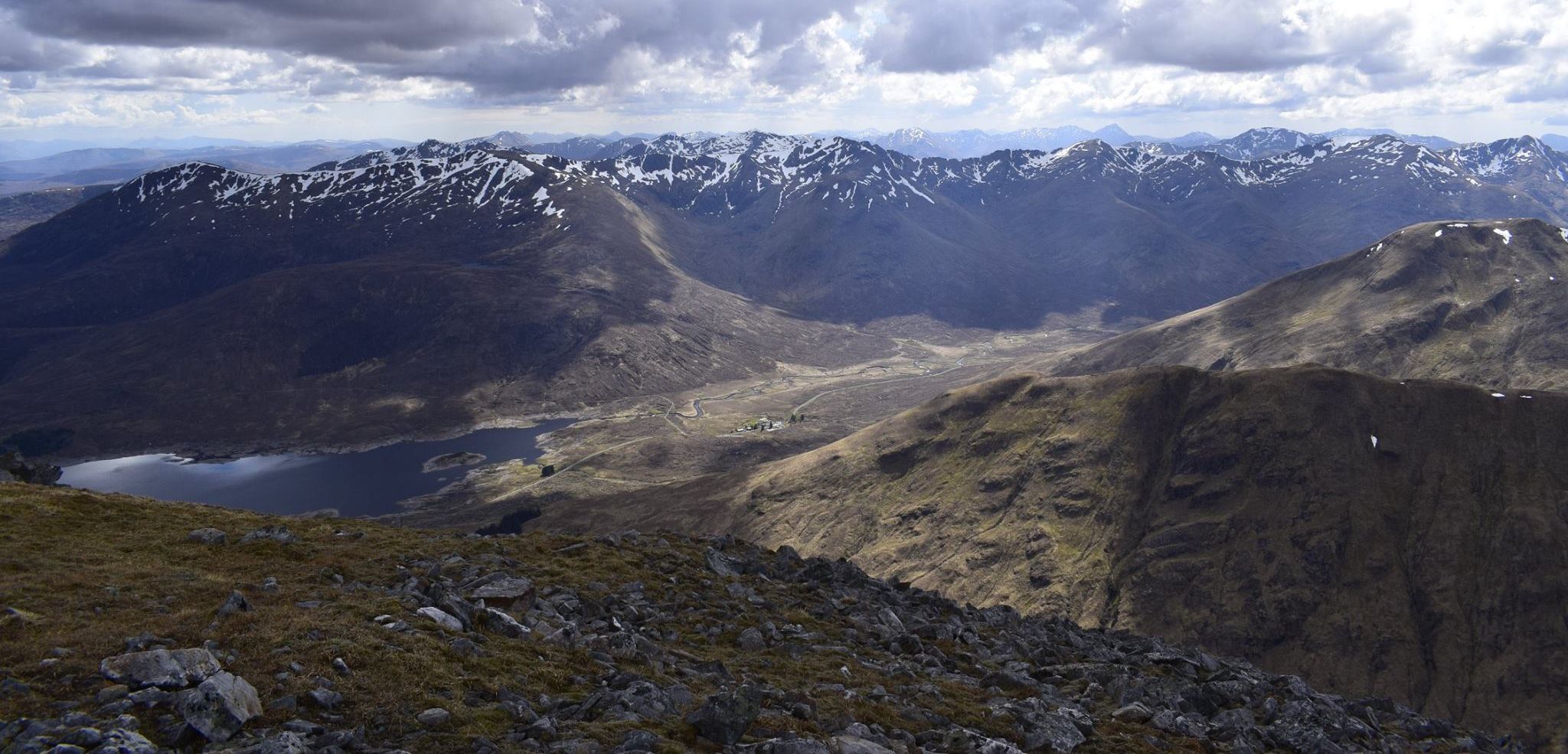
South Glen Shiel Ridge
|
|
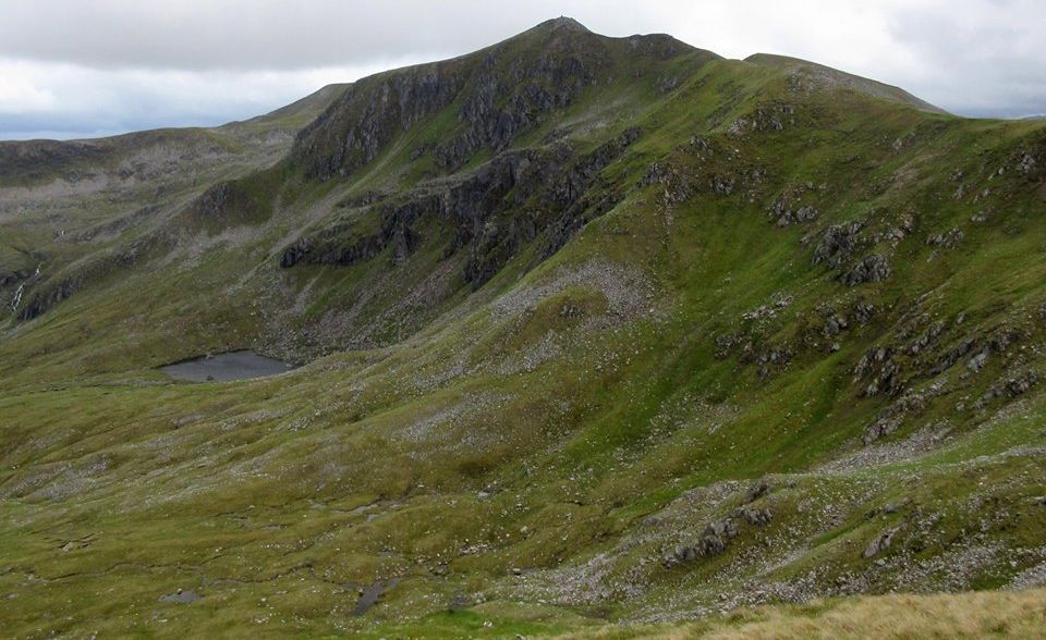
A'Chralaig to Mullach
Fraoch-choire ridge
|
|
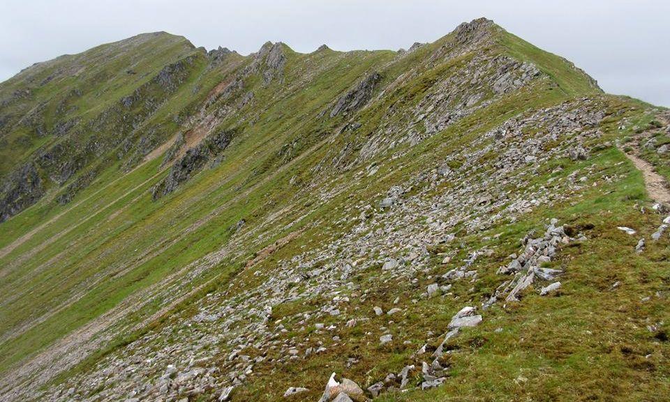
A'Chralaig to Mullach
Fraoch-choire ridge
|
|
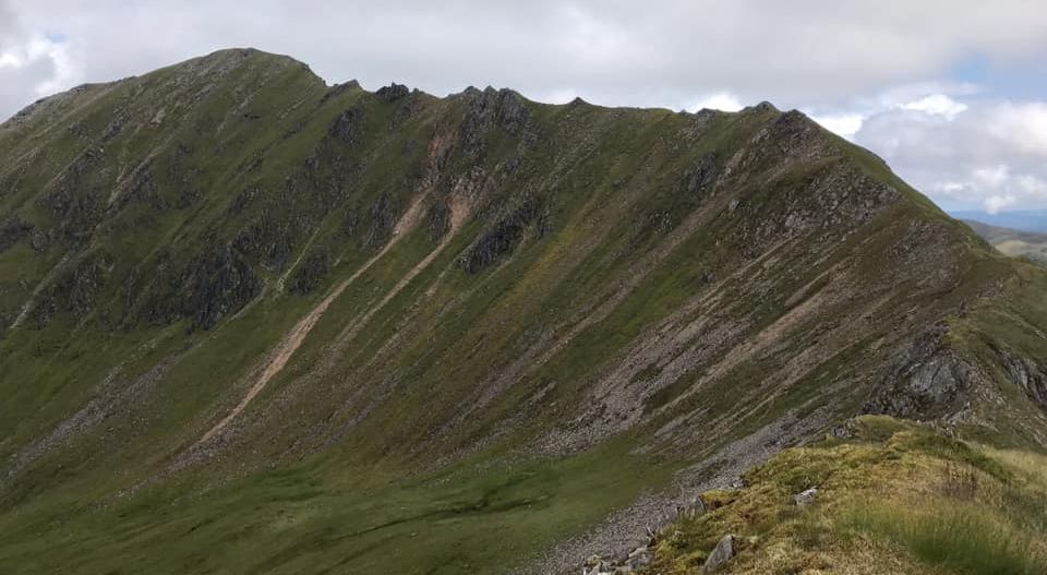
Mullach
Fraoch-choire ridge
|
|
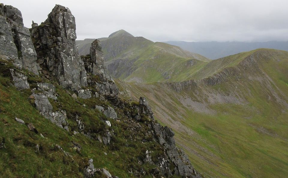
A'Chralaig to Mullach
Fraoch-choire ridge
|
|
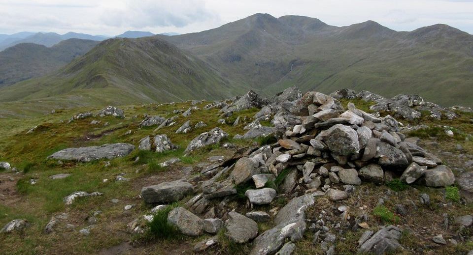
A'Chralaig to Mullach
Fraoch-choire ridge
|
|
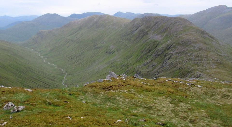
A'Chralaig to Mullach
Fraoch-choire ridge
|
|
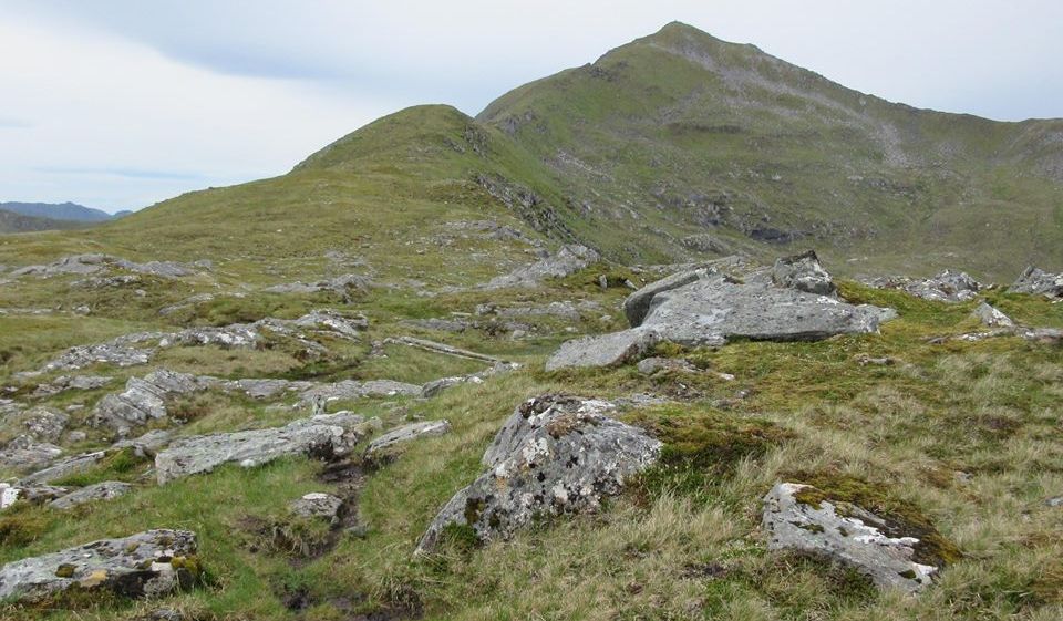
A'Chralaig to Mullach
Fraoch-choire ridge
|
|
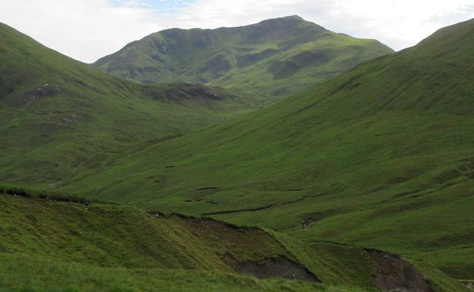
A'Chralaig to Mullach
Fraoch-choire ridge
|
|
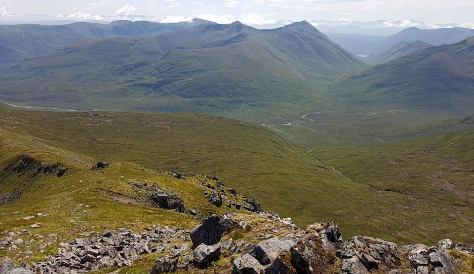
Mullach
Fraoch-choire ridge
|
|
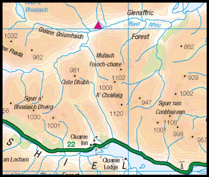
Location Map
of A'Chralaig and
Mullach Fraoch-choire
|
|
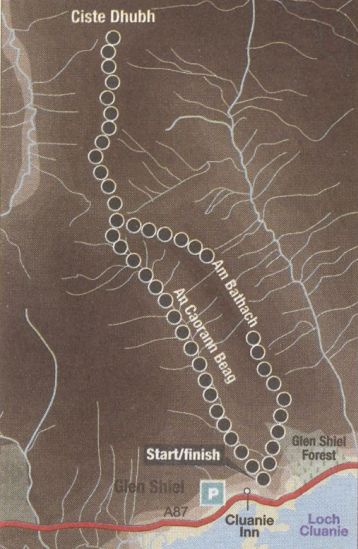
Route Map for Ciste Dhubh
|
|
CISTE DHUBH -
ROUTE DESCRIPTION:
Location:
Glen Shiel
Map: OS Landranger 33 ( GR062166 )
Distance: 7.5 miles ( 12km )
Time: 4hours
Terrain: Tracks and paths
Glen Shiel contains some classic ridge walks
and these two finely proportioned peaks are good examples. Climbed
separately they are short outings compared with many of the routes
which surround them, but when combined they make a satisfying day of
moderate length. a factor in their favour when time or energy levels
are low.
Am Bathach is a gem of a mountain with a greater presence than might be
suggested by its Corbett status, surrounded by wall-to-wall Munros. But
the
glaciers have done a good job, leaving a steep-sided cockscomb ridge
overlooking the Cluanie Inn.
On the other hand. Ciste Dubh is largely hidden some distance further
north, its impressive rocky summit glimpsed momentarily from the road.
A ‘climb me’ mountain never there was one.
The best starting point for Am Bathach is the car park before the
Cluanie Inn, although tree felling has complicated the approach to Am
Bathach's south ridge.
if there isn't much water in the Allt a‘ Chaorainn Bhig then it is
possible to start up the An Caorann Beag, on the track east of the car
park, before heading north to cross the burn and ascend beside the
felling to the south ridge, if the burn is full then follow the main
road east to the bridge
over the burn and follow the felled forest edge to the ridge.
This gives a steep ascent with increasingly fine views to the first bump,
followed by an airy grassy ridge over two more high points to
gain the summit. Ciste Dhubh is now revealed directly ahead and looks
close enough to touch. As always, appearances are deceptive
and a steep descent gains the bealach between the two peaks and the
start of Ciste Dubh‘s south ridge.
The path zigzags immediately right of the crags above and left of the
col and this is probably the least pleasant section of the route, it's
wet, rocky and eroded and the pathless grassy flanks further right are
worth considering as both routes gain the crest of the ridge.
From here the ridge is obvious and should be followed along its crest
for maximum enjoyment to arrive at the summit.
Retrace your steps to the bealach from where two routes can be taken
down the An Caorann Beag. A path on the east side leads back to the
ridge, while a grassy track on the west side leads to the metalled
track and the Cluanie Inn car park. The early sections of both routes
are
intermittent and boggy but the end is always in sight.
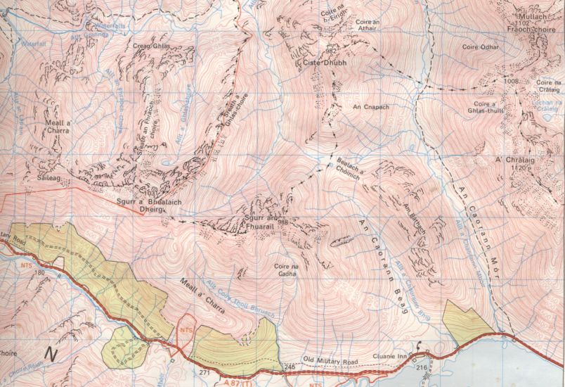
Map of Ciste Dhubh
|
|
Ben
Nevis
| Glencoe
| Knoydart
| Isle
of Skye
| Isle of Arran
| The
West
Highland Way
The
Eastern Highlands | The Central
Highlands
| The
Southern Highlands | The NW Highlands

