  |
The Scottish HighlandsBen Vrackie
|
  |
Photographs of the Corbett Ben Vrackie
above Pitlochry
|
Ben Vrackie above Pitlochry Ben Vrackie ( 2759ft ) is a Corbett |
 |
|
Ben Vrackie above Pitlochry |
 |
|
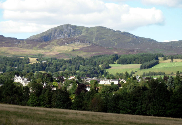
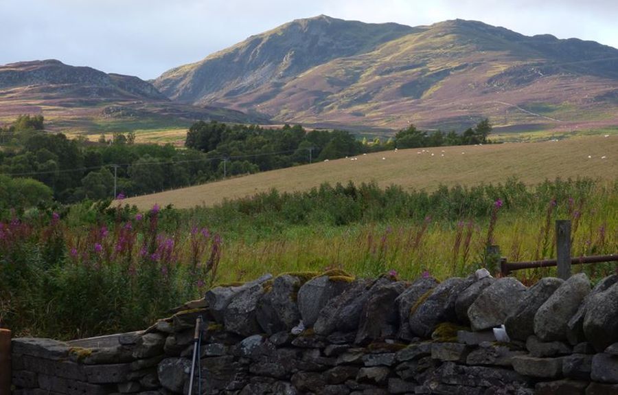
Ben Vrackie from Pitlochry |
 |
|
Ben Vrackie from Pitlochry |
|
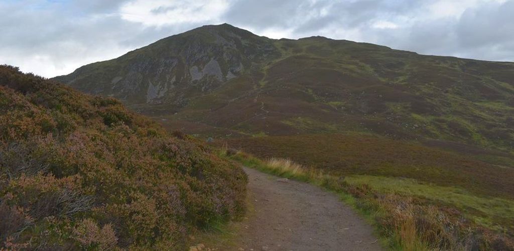
Ben Vrackie |
 |
|
Ben Vrackie |
|
Ben Vrackie
|
|
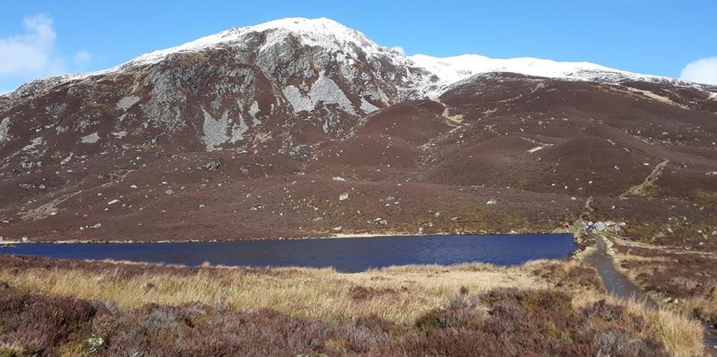
Loch a'Choire
|
|
Loch a'Choire
|
|
Trig Point on summit
|
 |
|
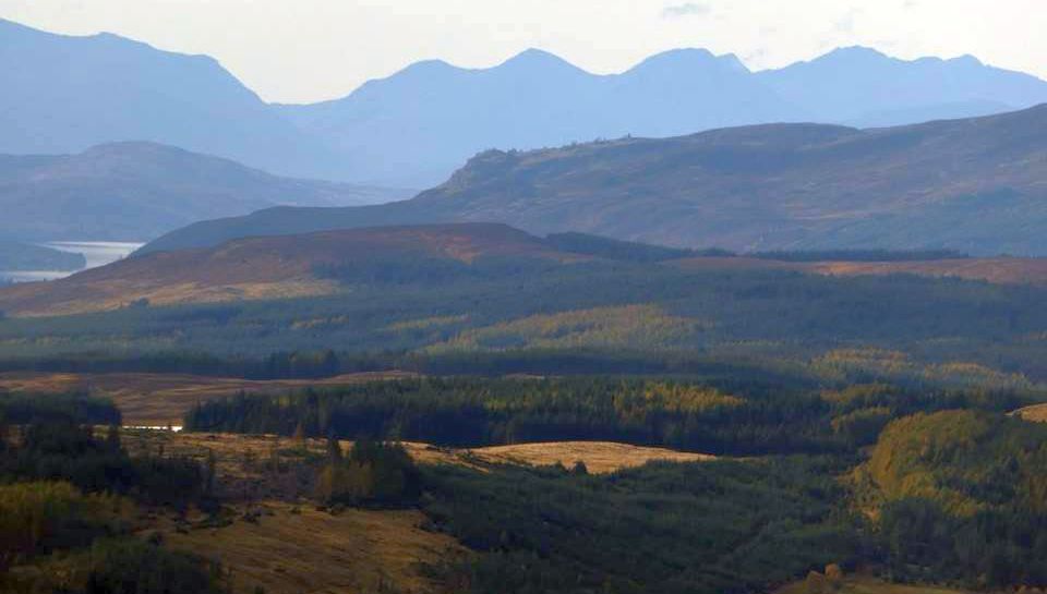
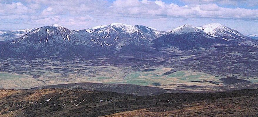
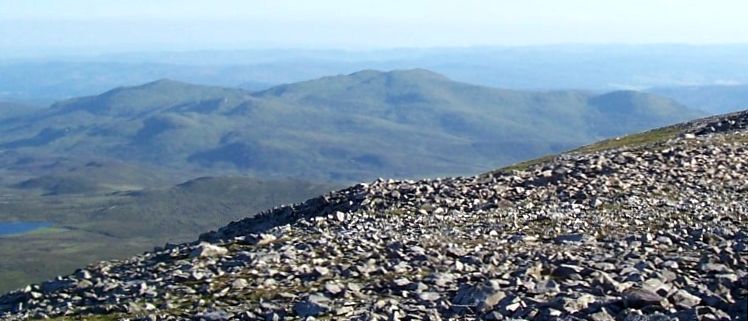
Beinn a Ghlo ( 1129m, 3704ft )
|
 |
|
Beinn a Ghlo ( 1129m, 3704ft )
|
 |
|
Ben Vrackie ( " Speckled Mountain " )
|
 |
|
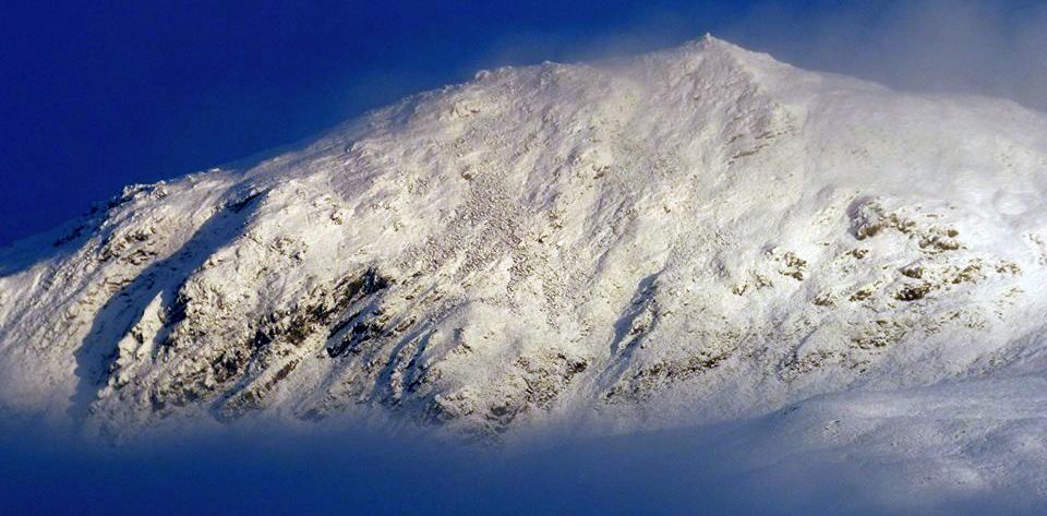
Snow-covered Ben Vrackie
|
 |
|
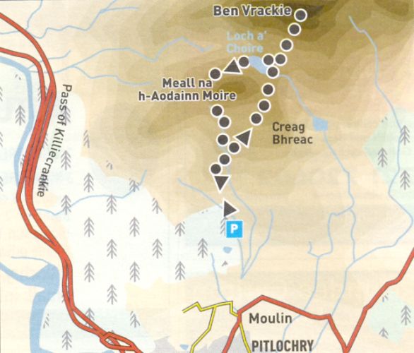
Access route for Ben Vrackie |
BEN VRACKIE - ROUTE DESCRIPTION:
Location: Pitlochry, Perthshire
Map: OS Landranger 52 and 43
[GR 945 5981
Distance: 6 miles ( 9.5km )
Time: 3 hours
Terrain: paths
There's a fine walk to this prominent hill overlooking the River Tummelvalley above Pitlochry. Part way along the main road through
Pitlochry, take the Kirkmichael road a short distance up the hill to Moulin and turn off left immediately past the Moulin Hotel.
Turn right a little further up, following the Ben Vrackie signposted road to a car park.
A footpath leaves the corner of the car park and heads uphill through th ewoods beside the Moulin Burn.
Cross a track after 200m, then rejoin the path briefly before continuing in the direct line to emerge into the open, where timber is being harvested.
Go through a gate and follow the path across the hillside towards Ben Vrackie, passing the return route path on the left, signposted Bealach Walk.
Cross the dam wall of Loch a' Choire nestling at the foot of the craggy slopes, then ascend the steep but good path to the summit of Ben Vrackie ( 841m )
which is a splendid viewpoint with an indicator to help identifying the surrounding hills.
Return to Loch a' Choire and follow the path around its north side, which leads around the back of a small hill affording fine views up the River Garry and Glen Garry over Blair Atholl.
The path descends to the main hill footpath linking Pitlochry and Killiecrankie before a left turn leads through the Bealach na Searmoin.
Go downhill to rejoin the upward route back to the start past the Moulin Hotel whose own brewed beer is not to be missed.
 |
|
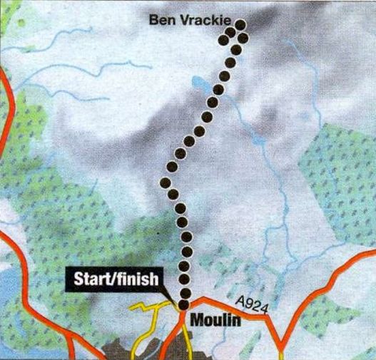
Access route map for Ben Vrackie |
BEN VRACKIE - ROUTE DESCRIPTION 2:
Location: Perthshire
Map: O5 Landranger 43 and 52
Distance: 6 miles ( 10km )
Time: 3-5 hours
Terrain: Moderate hill walk
The usual starting point for the ascent of Ben Vrackie — speckled hill — is a car park in Moulin, a couple of miles northeast of Pitlochry. From here a
footpath runs north through a defile between Meall na h-Aodainn Moire and Creag Bhreac, past Loch a’ Choire and up steep slopes to the summit ridge, the
view opening out past Blair Atholl and up the length of Glen Garry. The waters of Loch a’Choire make a stunning foreground, with its backdrop of steep, dark
crags. The route now begins to climb up beside those crags and into a high corrie before turning back on itself for the final push to the summit.
Route:
Leave the car park at Moulln on the A924 ( GR NN946595 ) and follow the signposted path through mixed woodland to a gate which gives access to open moorland.
Continue on a footpath that crosses the moor in a N direction, passing a bench with a memorial plaque to an obvious coibetween Creag Bhreac and Meall na h-Aodainn Moire.
Continue over the shallow col and cross the dam at the E end of Loch a'Ch0ire.
From here tackle the eroded path which climbs the steep slopes just east of Ben Vrackie‘s SW crags.
Reach the summit ridge, and bear left for the final short climb to the summit.
Return to Moulln by the same route, or if you can arrange transport, traverse the hill by descending W to Killiecrankie.
Scottish Peaks : Scotland Index