The Isle of Arran Hill Walking on the Isle of Arran

Isle of Arran


Goatfell
Arran - Official Tourist Map The Corbetts - SMC


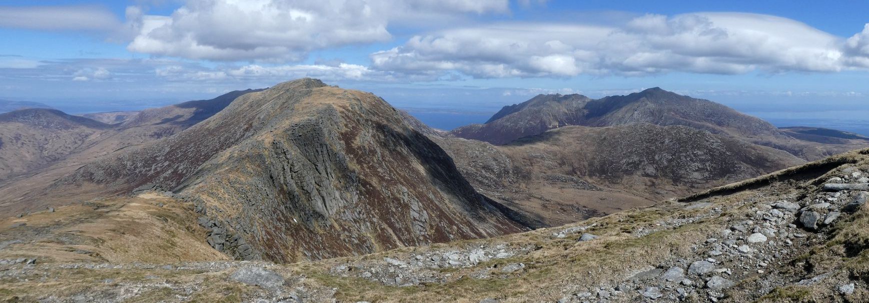
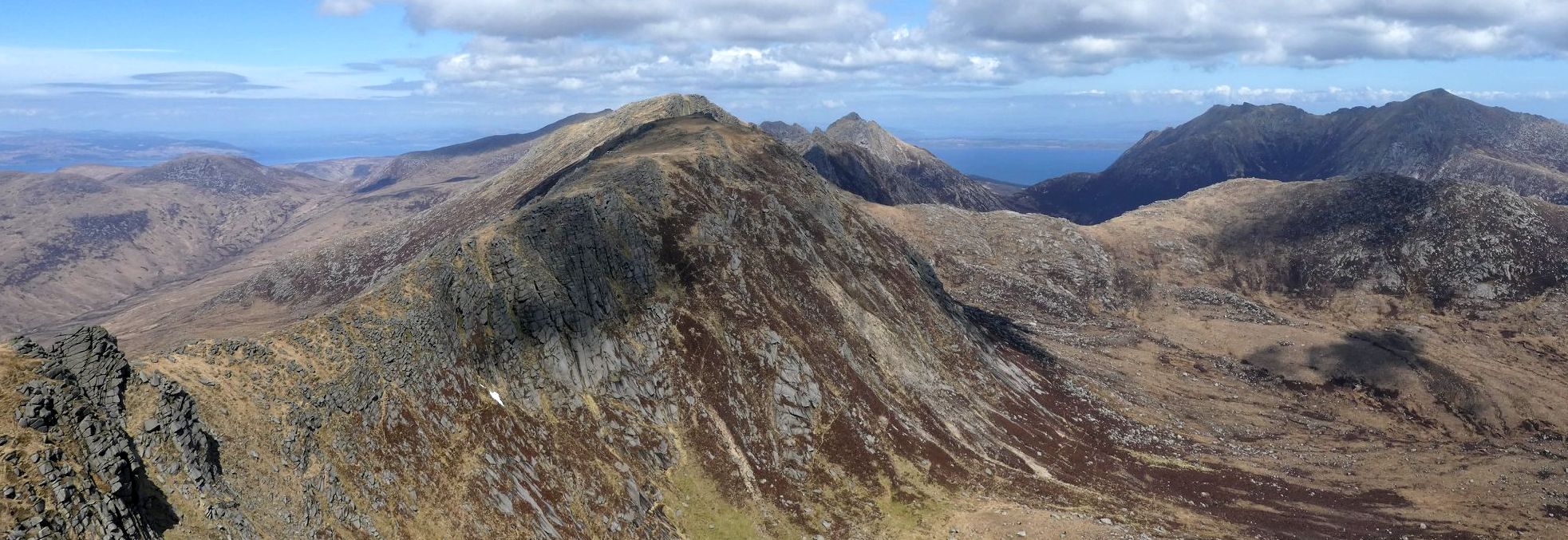
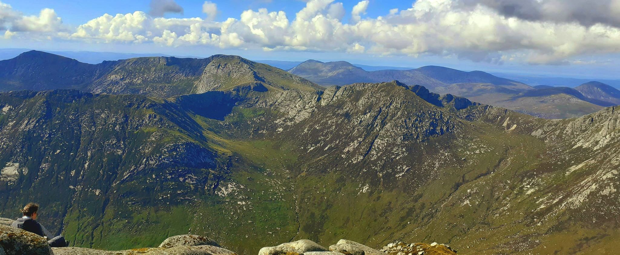
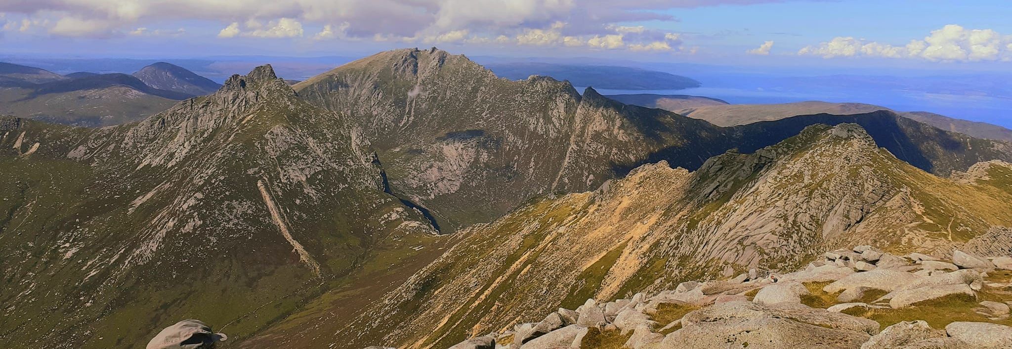
Photographs of Goatfell and Cir Mhor

on the Island of Arran

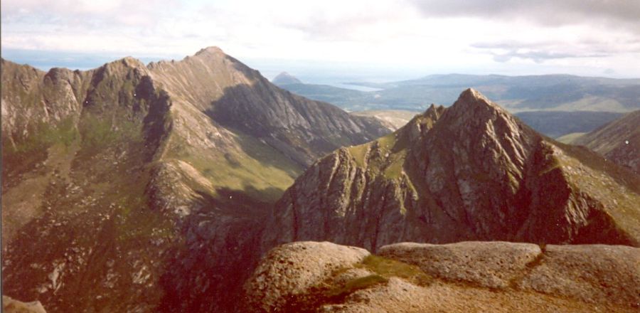
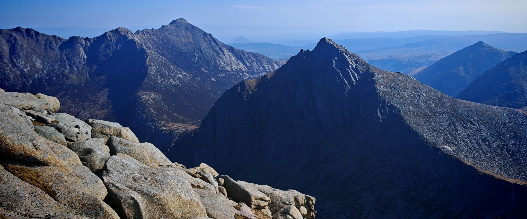
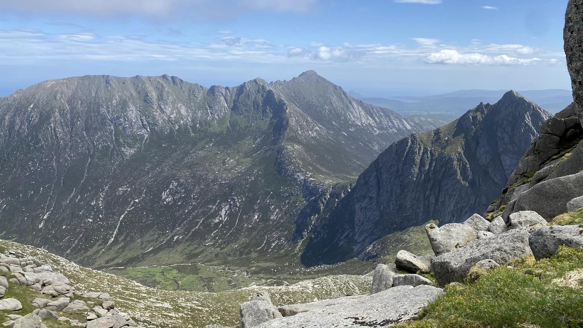
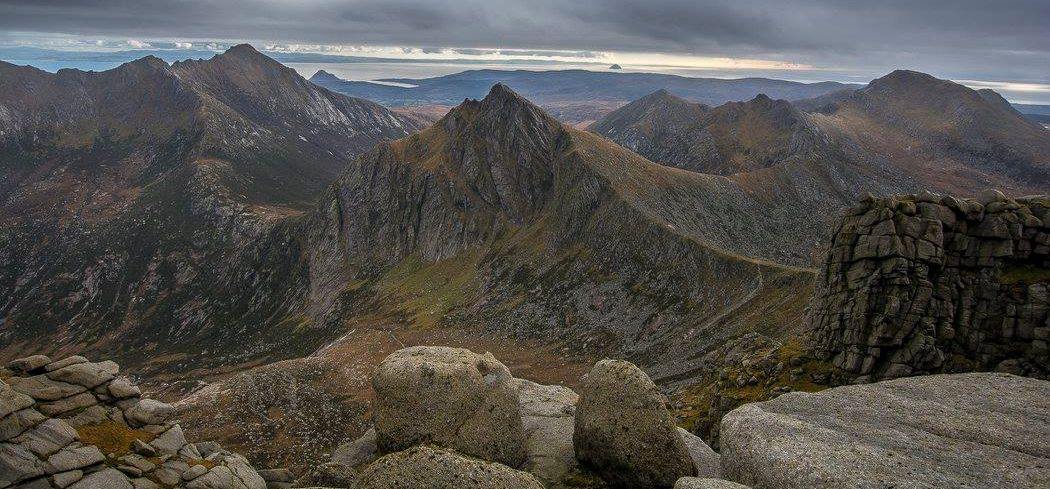
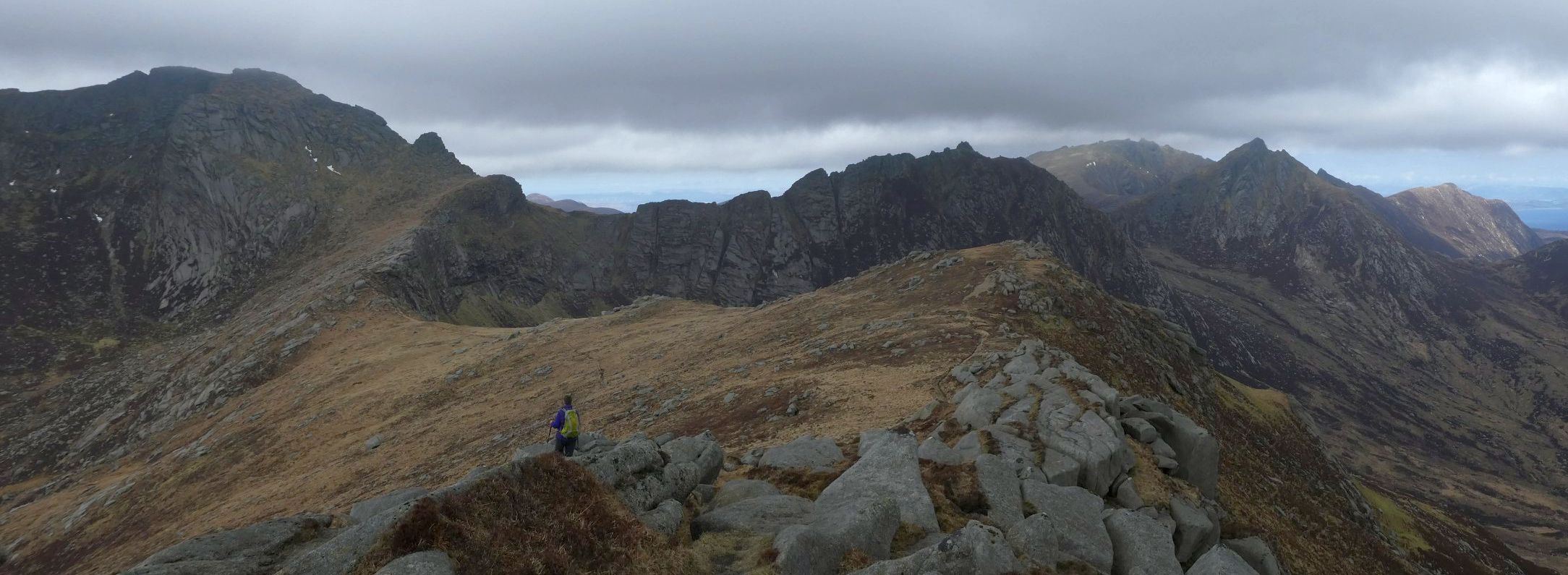
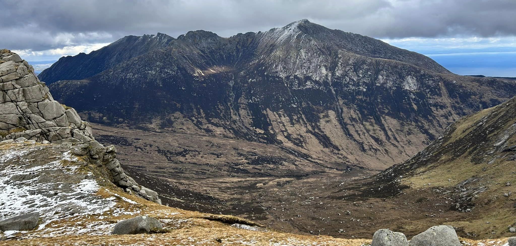
Goatfell and Cir Mhor in the Arran Hills

Goatfell  ( 2867ft, 874m - a Corbett )

and Cir Mhor
( 2621ft, 799m - a Corbett )

 in the Arran Hills

Goatfell is the highest of the four Corbetts

 on the Island of Arran.


Goatfell and Cir Mhor in the Arran Hills

Goatfell  ( 2867ft, 874m - a Corbett )

and Cir Mhor
( 2621ft, 799m - a Corbett )

 in the Arran Hills


Goatfell and Cir Mhor in the Arran Hills

Goatfell  ( 2867ft, 874m - a Corbett )

 
and Cir Mhor ( 2621ft, 799m - a Corbett )

 in the Arran Hills


Goatfell is the highest of the four Corbetts

 on the Island of Arran.


The Arran Ridge

The Arran Ridge


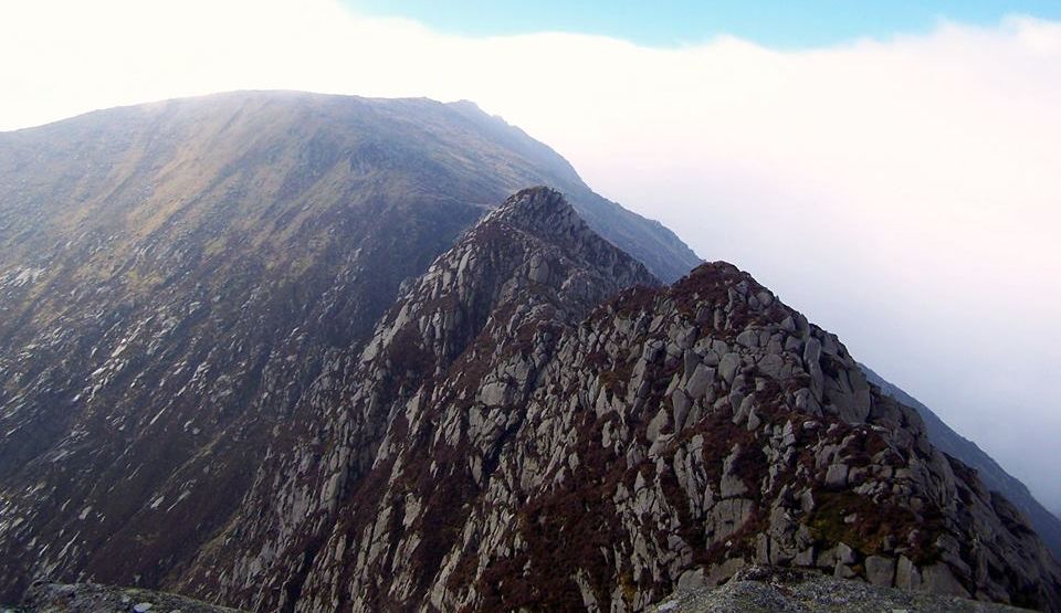
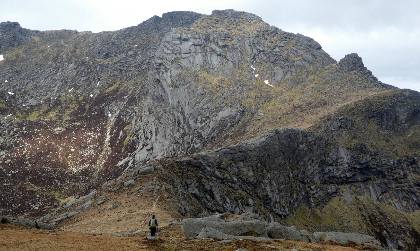
Cioch na Oighe ridge on Goatfell


The Arran Ridge

The Arran Ridge


The Arran Ridge

The Arran Ridge


The Arran Ridge

The Arran Ridge


The Arran Ridge

The Arran Ridge


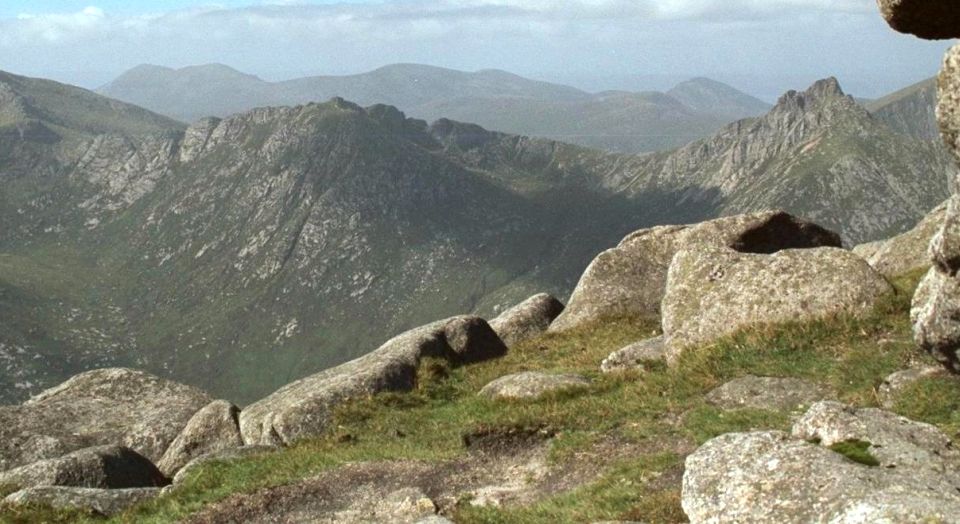
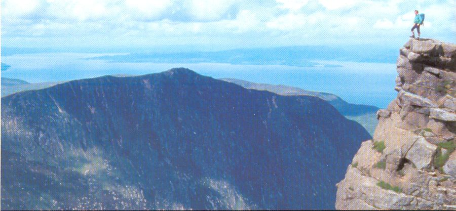
Arran Hills  from Goatfell

Arran Hills

from Goatfell


Arran Hills from Goatfell

Arran Hills

from Goatfell


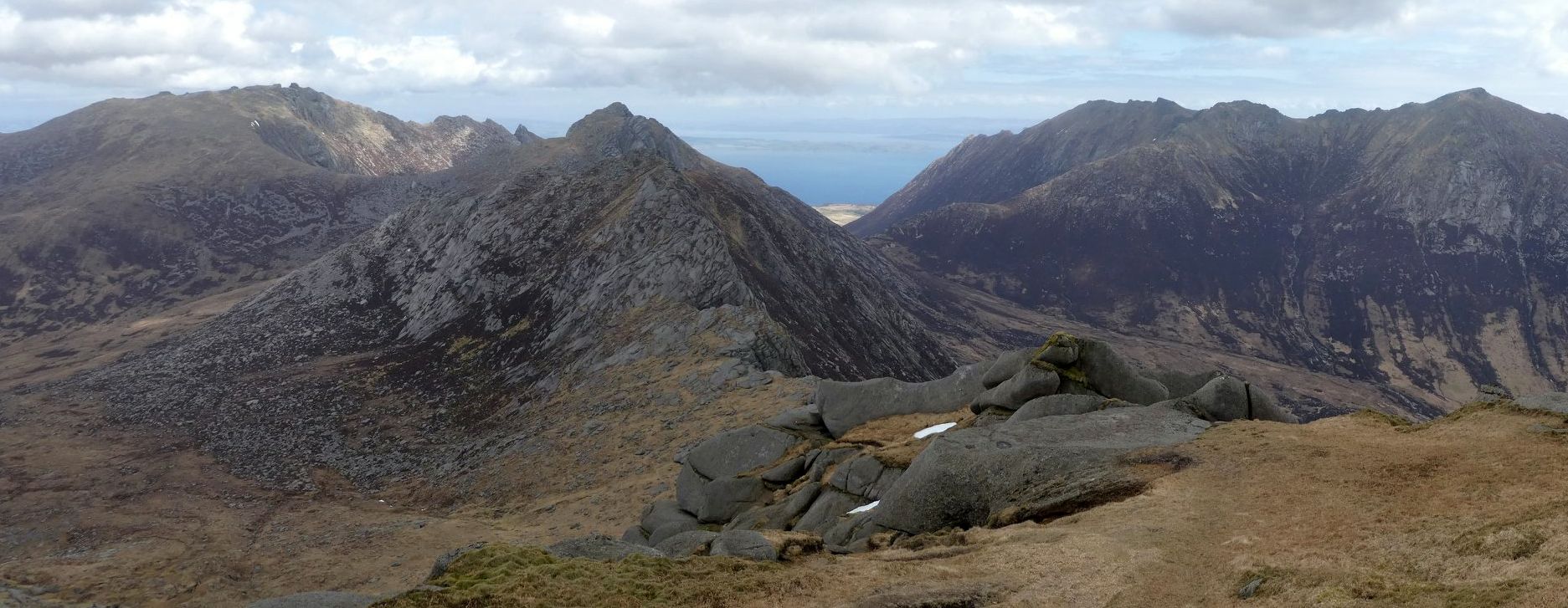
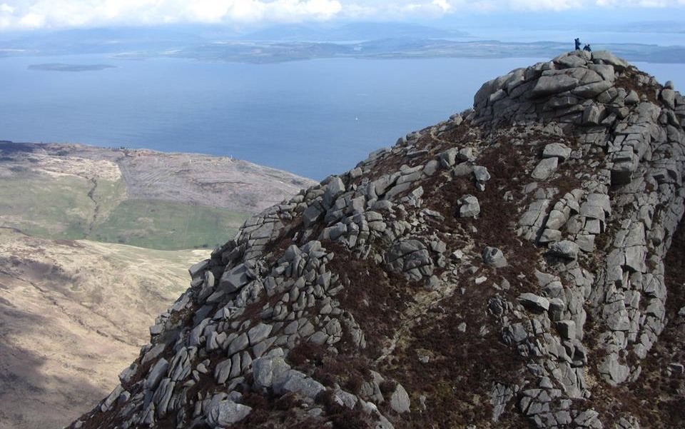
Arran Hills and Sea from Goatfell

Arran Hills and Sea

from Goatfell  
( 2867ft, 874m )


The Arran Ridge

The Arran Ridge


Goatfell above Glen Rosa

Goatfell

 above Glen Rosa


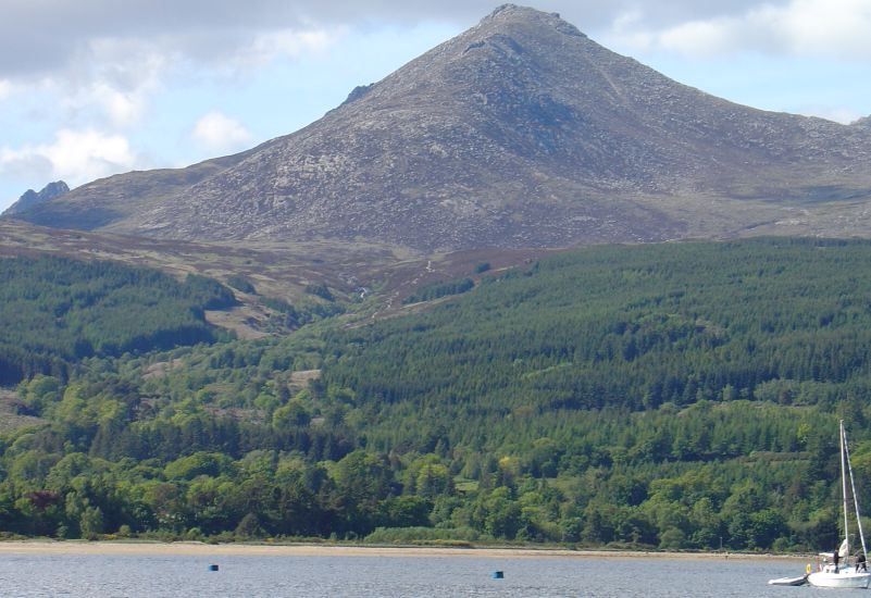
Goatfell above Brodick Bay

Goatfell

 above Brodick Bay


Charles ( Charlie ) Ingram and George Pirret on Goatfell

Charles ( Charlie ) Welch Ingram

and George Pirret

on Goatfell ( c1935 )


Goatfell Summit

Goatfell Summit


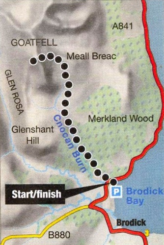
Route Map for Goatfell

Route Map for Goatfell


GOATFELL - ROUTE DESCRIPTION:


The island of Arran has often been described as the highlands in miniature but there's nothing miniature about its mountains, Beinn Tarsuinn, Cir Mhor, Caisteal Abhail and the island's highest hill Goatfell would grace any highland area and offer a genuine challenge to any hill walker, no matter how experienced. These are serious mountains and Goatfell, although it's the highest. is also the easiest and has a good path running all the way to its summit. The view from the top of Goatfell is exceptional. ln I628 the Duke of Morttrose entertained the traveller William Lithgow at Brodiek Castle, Lithgow, known as Lugless Willie on account of his deafness, climbed to the summit of “Goatfield Hill" and later wrote in appreciation of the spectacle:

"A larger prospect no Mountaine in
the world can show, pointing out three
Kingdomes at one sight: Neither any
like Ile or braver Gentry, for good
Archers, and hill-hovering Hunters."

He may have been lugless but he obviously had good eyes!
The view from the summit of Goatfell on a clear day is indeed as varied as anywhere in the UK. To the east and north-east the Firth of Clyde is spread out in a shimmer of blue. Beyond lies the Ayrshire coast, running all the way down to the Rhines of Galloway and up towards the opening of Loch Long. Dotted on the firth below lie the Cumbraes and the Isle of Bute. The small island off the west coast of Bute is Inchmarnoek, once known as the “drunk man's island" because drunkards who persistently offended against Bute's laws of sobriety were banished there to serve a term of punishment.
To the west of Goatfell, across the deep gulf formed by Glen Rosa, the rocky ridge of Ben Chliabhain climaxes in the vertiginous slopes of Coire Daingean which, in turn, is joined to Cir Mhor by the great buttress of A'Chir. Beyond it lies the top of Caisteal Abhail and the north
ridge of Glen Sannox. Beyond Beinn Chliabhain lies Beinn Nuis and Beinn Tarsuinn.
For “hill-hovering” walkers, there are few views to match it.

Route:
Start / finish at Cladach on the A841 (GR: NS012 377).
A private road leads from Cladach, SW of Brodick Castle and passes through the castle grounds.
After a short distance the tarmac ends and becomes a footpath which soon reaches the open hillside.
The path continues and runs N up the slopes of Goatfell, skirting the obvious SE corrie to reach the prominent E ridge
Once on the ridge the path joins the path that runs up from Corrie in the E.
Scramble W along the ridge, which is now quite steep in places all the way to the summit trig point and direction indicator.
Return the same way.


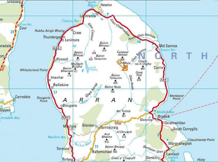
Map of the Island of Arran

Map of the Island of Arran

<< Back : Arran Index : Next >>


Scotland Index :: Scottish Peaks

Glencoe | Ben Nevis | Knoydart | Isle of Skye | Isle of Arran | The West Highland Way

The Eastern Highlands | The Central Highlands | The Southern Highlands | The NW Highlands


Adventure Travel : Worldwide Mountaineering : Site Index

fb icon  google+ icon Linkedin icon  twitter


Travel & Guide Books & Maps - Scotland:-


Arran - Official Tourist MapIsle of Arran OS Explorer MapIsle of Arran OS Landranger Map Iona & Mull MapWestern Scotland & the Western Isles OS Road Map Northern Scotland OS Road MapSouthern Scotland OS Road Map


The Isle of Arran Hill Walking on the Isle of ArranIsland Walks - Southern Hebrides and Arran Ayrshire & Arran - 25 Walks

The Scottish IslandsAn Island Odyssey IslayScotland from the AirScotland's Coast

Rough Guide: Scotland Lonely Planet, Walking in ScotlandSouthern Highlands - Map Lonely Planet - Walking in BritainScotlands 100 Best Walks

Scotland - Lonely PlanetScotland's Highlands & Islands - Lonely Planet Scotland's Highlands & Islands - Rough Guide Highlands & Islands of Scotland - Hidden Places Rough Guide ScotlandScottish Highlands & Islands - Rough Guide 50 Walks in the Scottish Highlands & Islands The Islands Arrochar, Cowal & Bute - 25 Walks

Oban, Mull & Kintyre - OS Pathfinder Guide Mull & Iona - Pevensey Guide Isle of Bute - Pevensey GuideSkye & the Western IslesThe Isle of Skye Walking in the Hebrides Call of the Corbetts The Corbetts - SMC

Visit Scotland - Touring Guide Scotland: Where to Stay - Hotels & Guest Houses Scotland: Where to Stay - Bed & Breakfast 100 Walks in ScotlandHillwalker: The MunrosHillwalker: The Corbetts

Weather for Hillwakers & Climbers Mountain Weather Guide to the Weather Weather: Collins Gem Hillwalking Handbook for Mountain Leaders Hillwalkers Manual Hillwalkers Guide to Mountaineering First Aid on Mountains


Google Analytics


Google Analytics

extremetracking
 eXTReMe Tracker


extremetracking
Sitelock caingram.com
SiteLock
Sitelock
Sitelock caingram.info
SiteLock
Sitelock