  |
Linlithgow Muiravonside Country
Park
|
 
|
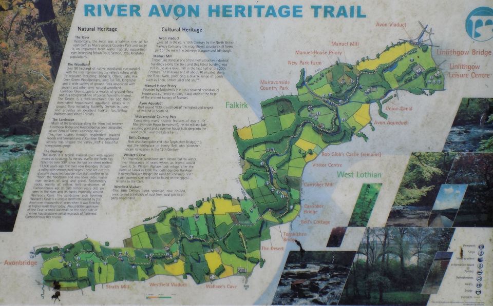
Map of Muiravonside Country Park ( Note: Click here or on above for large format copy ) |
|
Muiravonside Country Park Muiravonside Country Park is two miles south of Grangemouth and covers 170 acres of woodland and parkland. An
old country estate formerly owned by the Stirling family of Falkirk, the Park is free to access and open all-year round. There’s
a lot to do with nature trails, picnic sites, play area available throughout the Park. Visitors can follow the River Avon Heritage Trail around the Park past the historic Avon Aqueduct and see the relics of bygone industry and farming. We can also give advice and assistance to schools and groups regarding conservation planning and design. The Park offers panoramic views, a spectacular river gorge and several relics of industrial archaeology, linked
by a network of paths through a diverse ground flora. Over 90 species of bird have been recorded. |
Visitor Centre at Muiravonside Country Park |
River Avon from Heritage Trail |
River Avon in Muiravonside
Country Park |
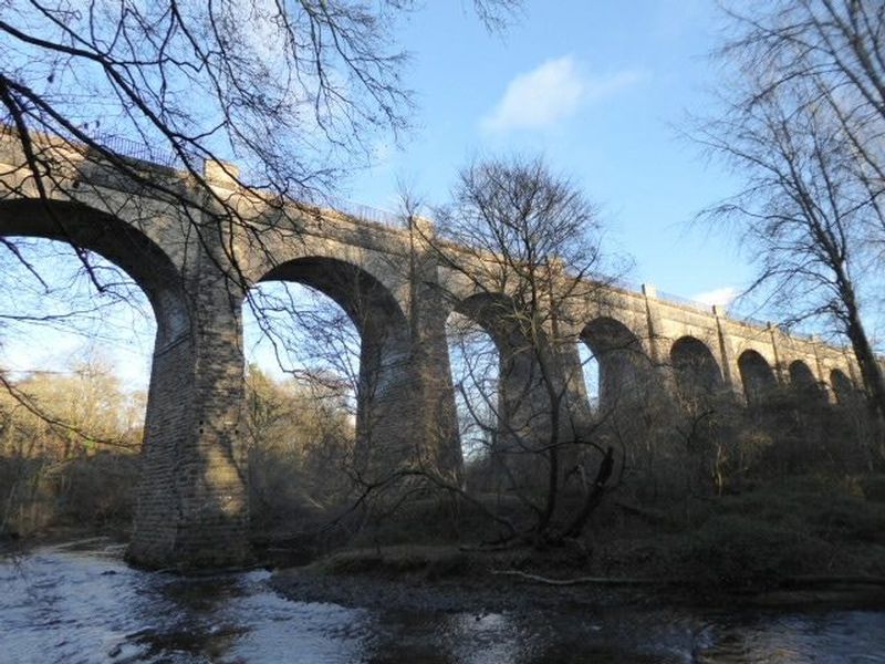
Avon
Aqueduct for Union
Canal
from Heritage Trail in Muiravonside Country Park The aqueduct is 810 feet ( 250m ) long and 86 feet ( 26m ) high; it is the longest and highest aqueduct in Scotland and the second longest in the UK. The aqueduct is a category "A" listed building |
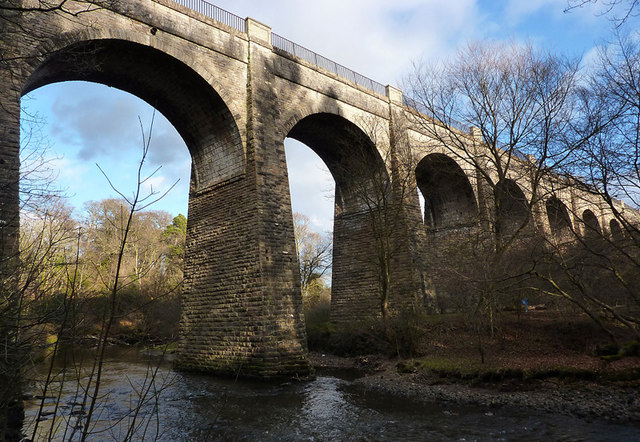 Avon
Aqueduct for Union
Canal
|
 Avon
Aqueduct for Union
Canal
|
Glencoe | Ben Nevis | Knoydart | Isle of Skye | Isle of Arran | The West Highland Way
The Eastern Highlands | The Central Highlands | The Southern Highlands | The NW Highlands