  |
The Scottish HighlandsTinto Hill
|
  |
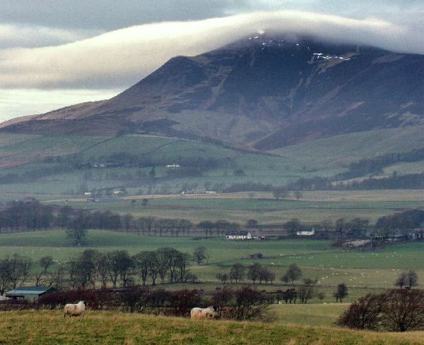
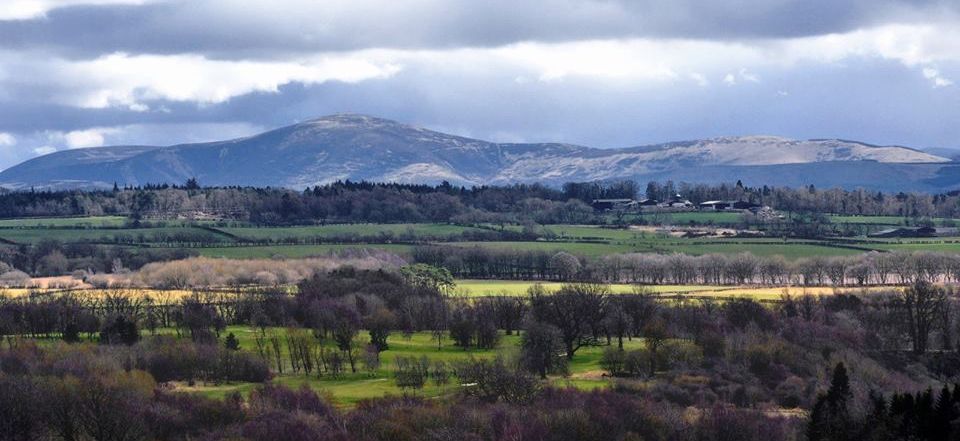
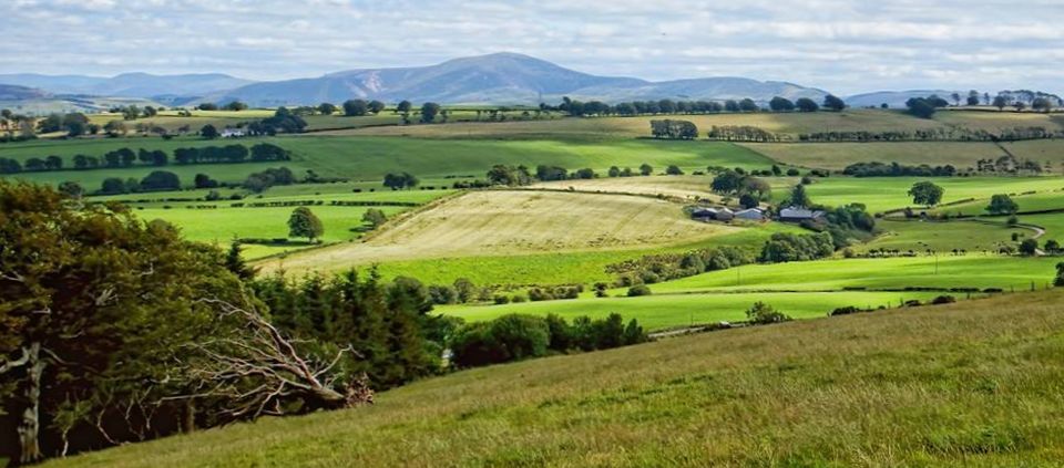
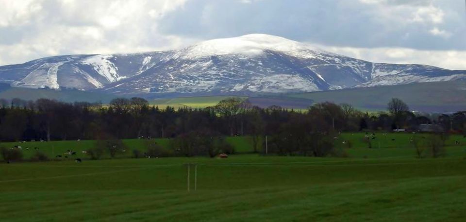
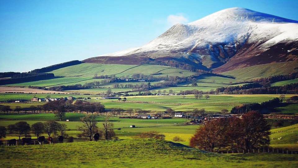
Photographs of Tinto Hill
in the Southern Uplands of Southern Scotland
Tinto
Hill
Tinto is a hill in South Lanarkshire and is an outlying part of the Southern Uplands It stands on the west bank of the River Clyde, some 8km ( 5.0 miles ) to the west of Biggar. |
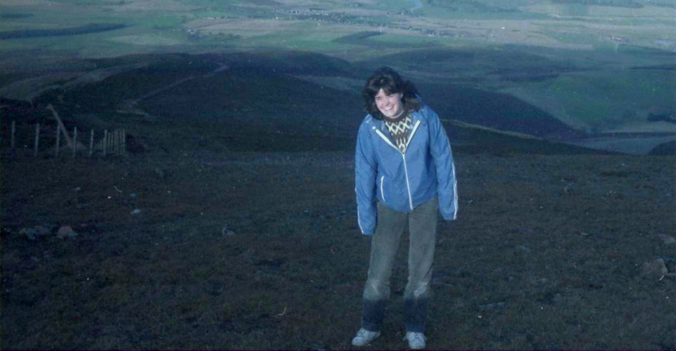 On
Tinto Hill
|
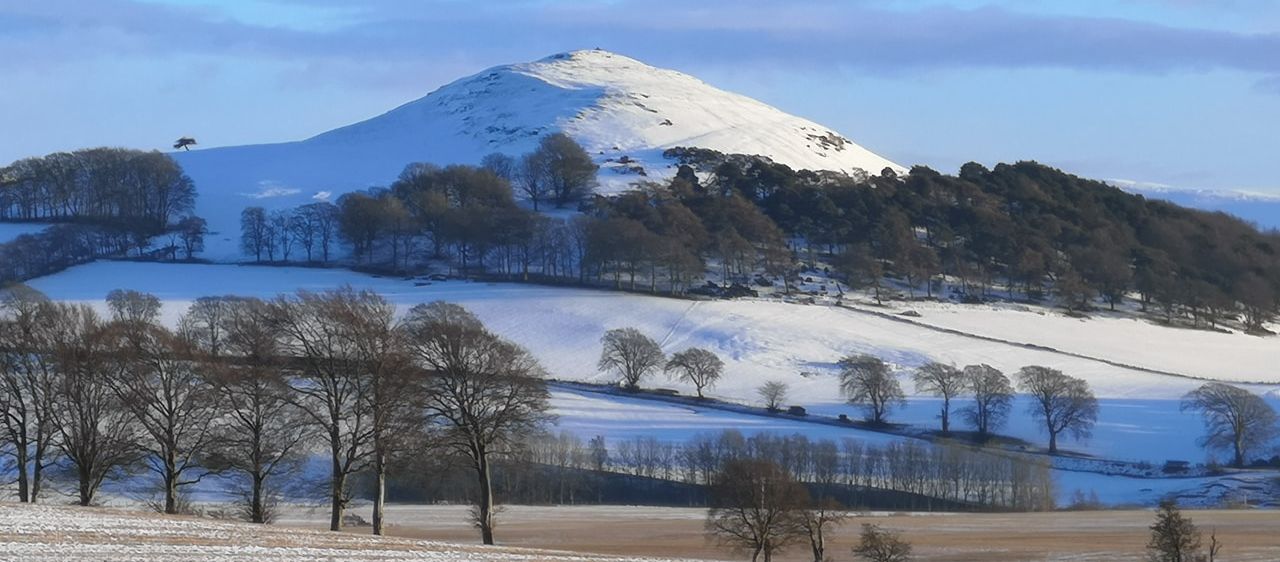 Tinto
Hill
|
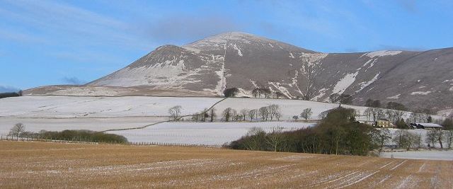 Tinto
Hill
|
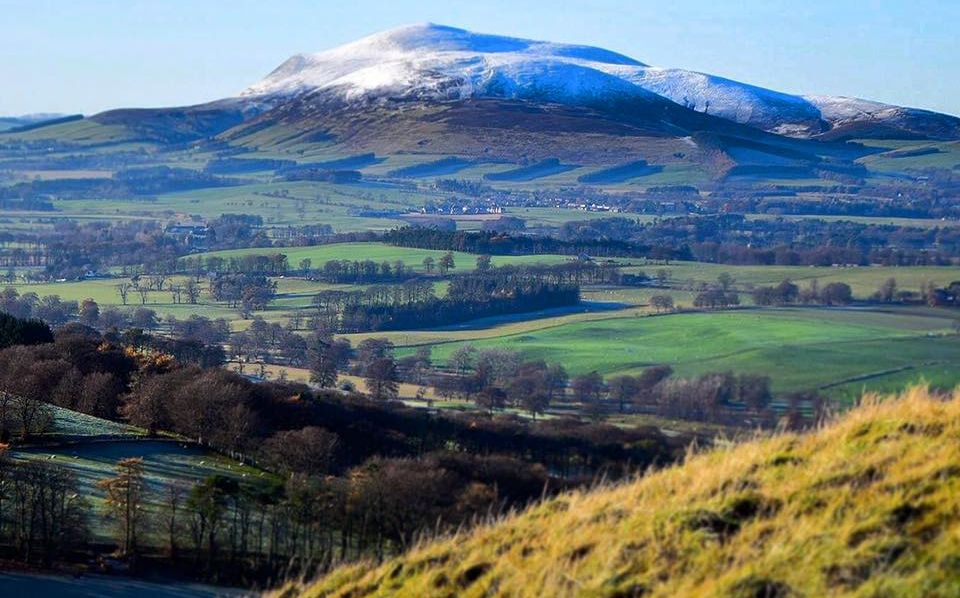 Tinto
Hill
|
 Tinto
Hill
|
 Tinto
Hill
|
 Tinto
Hill
|
 Tinto
Hill
|
 Tinto
Hill
|
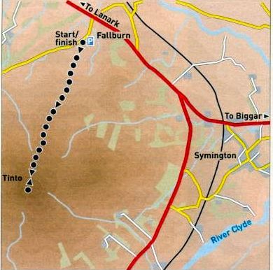 Route Map
for Tinto Hill |
TINTO HILL - ROUTE DESCRIPTION
Location: South Lanarkshire
Map: OS Landranger 72 ( GR 964 374 )
Distance: 4 miles (7km )
Time: 2.5 hours
Terrain: path
This prominent conical hill known locally as Fintock Tap lies in the upper reaches of the Clyde Valley to the south-east of Lanark and forms a large
isolated mass. around which the River Clyde is forced to loop anti-clockwise en route to the sea.
There are a number of approaches to its fine summit but perhaps the best and certainly the quickest, is via the conspicuous stony path that
leads directly to the top following the spur on its north side.
Tinto is an awkward hill on which to take a satisfactory circular route, so the ascent and descent are usually made the same way, making the hill best
suited to a quick stretch of the legs during a break in the winter weather.
The annual race up and down the hill at the start of November takes the same route with the record time standing at just under 30 minutes.
Start from the small parking area at Fallburn just off the A73 outside Symington on the Lanark to Biggar road.
Go through the gate and take the grassy track between fences to pass under the power lines, then through another gate on to the open hillside.
The circular outlines of the ditches and ramparts of an Iron Age fort lie to the left here.
The path begins to steepen and leads over Totherin Hill, a point on the spur where the angle eases briefly and beyond which there is a
choice of paths: to the left or straight on around the sweep of Maurice's Cleuch.
A final stiff pull gains the large Bronze Age summit cairn with a trig point off to the side ( 707m, 2320ft ),
the hills central location rewarding you with views ranging far and wide.
Retrace the route of ascent back to the start.
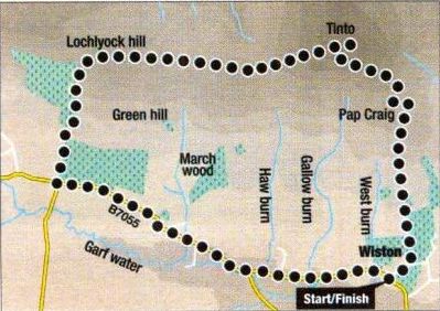 Route
Map
for Tinto Hill
|
TINTO HILL - ROUTE DESCRIPTION 2:
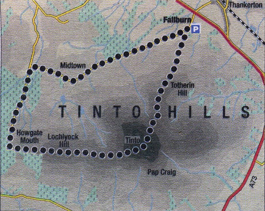 Route Map
for Tinto Hill |
TINTO HILL - ROUTE DESCRIPTION 3:
Location: South Lanarkshire
Map: OS Landranger 72 ( GR953344 )
Distance: 10 miles (16.5km)
Time: 5 hours
Terrain: road, track and path
Unsettled weather conditions can make venturing into the high hills a feat of endurance in the face of
snow, rajn and high winds, and at times like these walkers turn to less frequented routes on accessible lower-level classics.
Such a route is the traverse of Tinto and its western outlier, Lochlyock Hill.
It’s a surprisingly long route for such a small hill and while some of the walking is on quiet country roads, it’s an enjoyable
and satisfying outing with tremendous views.
Whether you tackle the traverse from east to west or west to east is a matter of choice.
The former gives a steep ascent to the summit of Tinto, and the option to descend straight away if
the weather turns foul, followed by a gradual descent over Lochlyock to the road and back to the car park.
The latter gets the road over and done with at the start, followed by a steady ascent over Lochlyock to the
summit of Tinto and a steep descent to the car park.
This is my preference as it avoids hitting the tarmac with tired feet at the end of the day, but it does commit
you to pressing on if the weather deteriorates halfway.
From the large car park at Fallburn, off the A73 at the foot of Tinto’s north-east ridge, Walk back
to the road and follow it west between fields and pasture passing a No Through Road on the left to Lochlyoch Reservoir.
Continue on the main road down and right through Lochlyoch farm to a T-junction.
Go left and through conifer woodland to the end of the road at Howgate.
Beyond this a track ascends to Howgate Mouth, the narrow pass between Howgate Hill and Lochlyock Hill.
Near the top of the pass at a metal gate, cross over the wooden fence on the left to gain the broad
ridge and follow a wall and fence, initially beside a conifer plantation, to Lochlyoch Hill.
A descent to a small col gains Tinto’s main west ridge which leads steadily to the trig point and the large summit cairn
beyond an intersection of fences.
It is possible to descend north from the summit straight down to the car park at Fallburn, but a short
detour is worthwhile to take in the eastern top of Scaut Hill. From Tinto’s summit, descend
northwards on the main path to gain a track on the right and follow it through a gap in the fence to reach
the cairn on the top of Scaut Hill.
Return to the gap and either climb back up to meet the main path, or follow a less distinct path north
through the heather, to gain the main path lower down and continue the descent over the lower hump of Totherin Hill to Fallburn.