Location:
Dumfries and Galloway
Maps: OS Landranger 73 and 79
Distance: About 10 miles (16km)
Time: 7-9 hours
Grade: Serious hill walk
Gaelic place names are wonderfully
descriptive. Someone once coined this little rhyme:
"A mountain’s a mountain in
England, but when the climbers in Scotland
it may be a bheirm, a creag or a meall, a spidean, a sgor, a cam
or a monadh, a stuc or a torr"
These lines serve to illustrate how precise the Gaelic language
is. A sgurr, for example, is a separate mountain, like a bheinn but
more rocky. Creag means a rock, usually an outlying spur and a meall is
a lumpy sort of
hill.
But
just occasionally the English language comes up trumps and no more
so than in the Borders. We had left Tibbie Shiels Inn with the
intention of traversing the skyline tops that run along the north side
of Moffatdale as far the Carrifran Glen.
We passed the monument to James Hogg, the Ettrick Shepherd, and plodded
up the steep grassy slopes of Oxcleuch Rig. After days of rain the
ground squelched under our boots and as we crossed a large expanse of
waterlogged ground on the summit of Shielhope Hill we couldn’t help
notice the name of the neighbouring hill, Drowning Dubs said it all.
We were encouraged by the sight of the sheep-cropped grass ridges of
Lochcraig Rig and White Coomb ahead of us but first we had to drop into
the valley of the Winterhope Burn. These hills of Dumfries and
Galloway can be incredibly steep-sided, and this one, Muckle Knees, was
no exception. We immediately nicknamed it Knackered Knees because
ours were by the time we limped to the bottom of the slope.
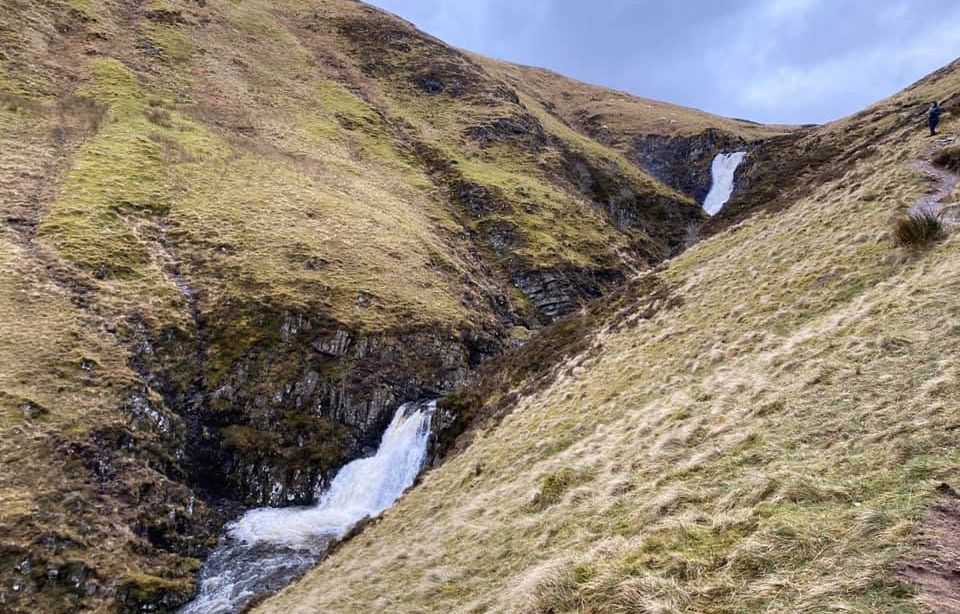
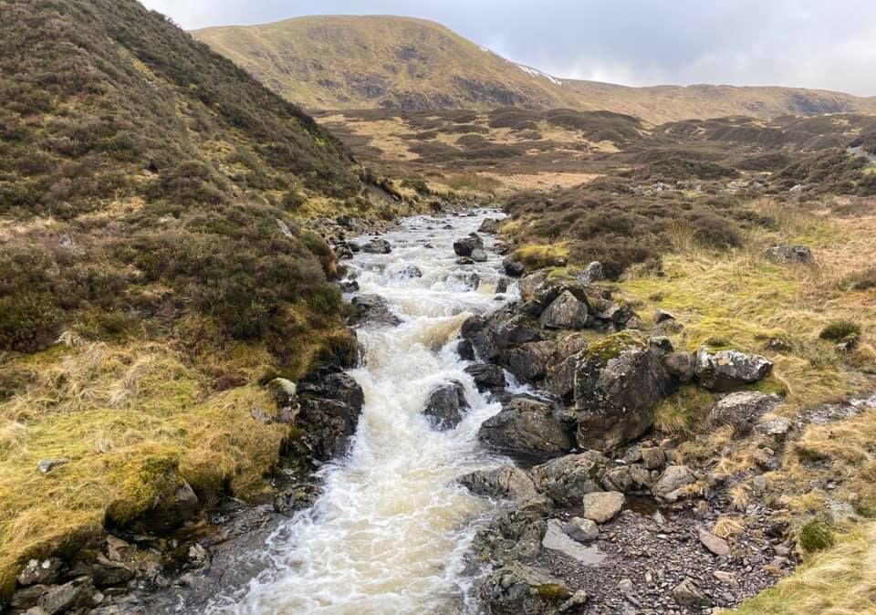
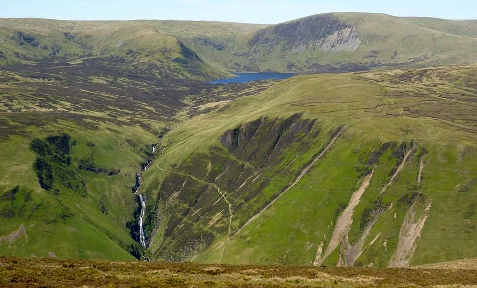
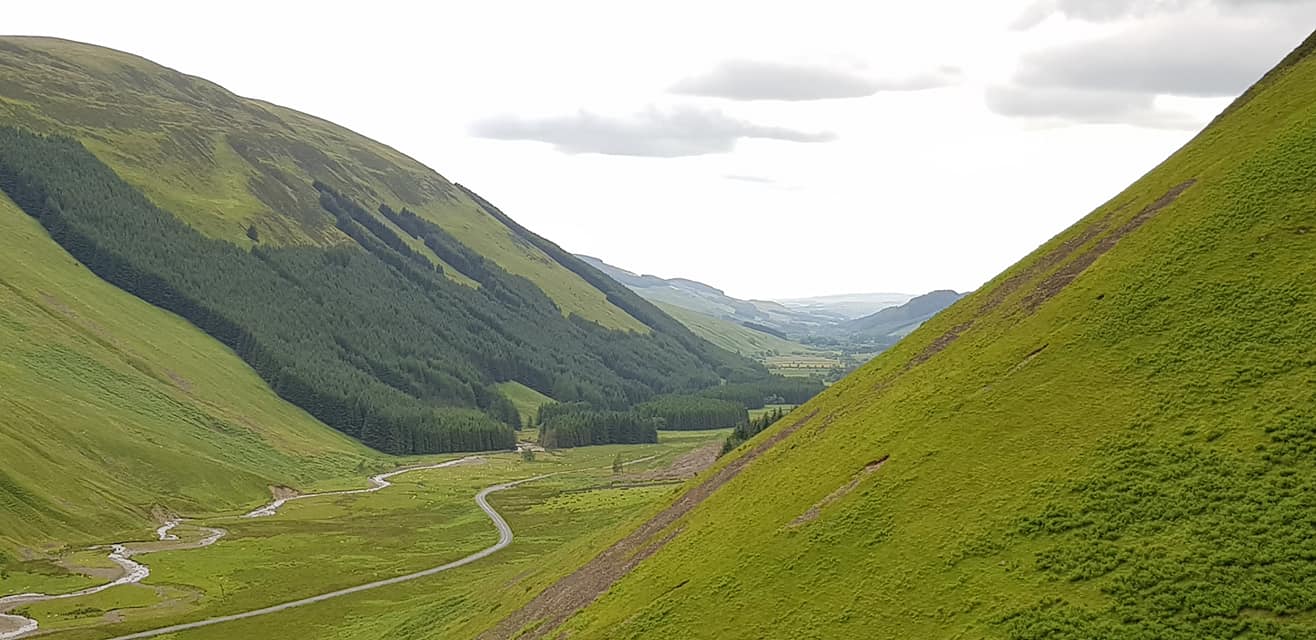
The Winterhope Glen, with its empty buildings, sheep fanks and snaking
burn, was a poignant reminder that even here in the glens of the
Borders depopulation is almost as big a problem as it is in the
Highlands.
Few people, particularly younger folk, want to live in such relative
isolation nowadays. If we had found it difficult accessing the
Winterhope Glen from Muckle Knees, it was even harder work getting out
of it. A long and
grinding pull dragged us up Lochcraig Rig to the summit of Lochcraig
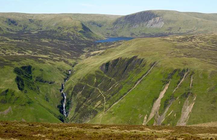
Head at 800 metres, high above Loch Skeen. From here, the south
Tweedsmuir
hills cut an empty, desolate quarter of the Scottish Borders.
Like Drowning Dubs and Muckle Knees, other place-names, such as Rotten
Bottom ( between White Coomb and Hart Fell ) or Dead for Cauld (
south-west of the Megget Reservoir ) leave little to the imagination.
The air of desolation and the vastness of the views from the summit of
nearby White Coomb at 2696ft / 822m are fitting for this is
the highest hill in Dumfries-shire.
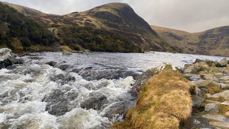
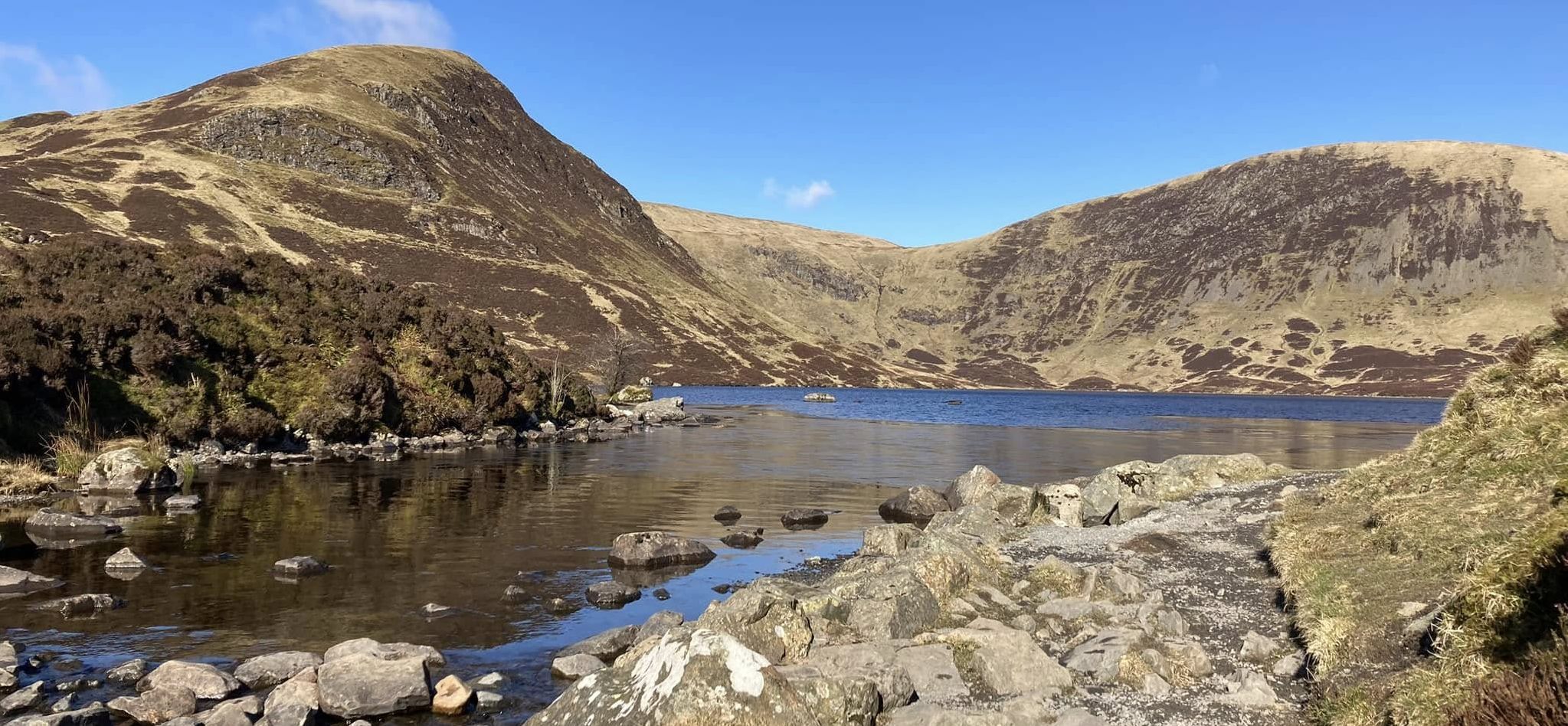
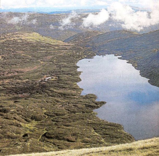
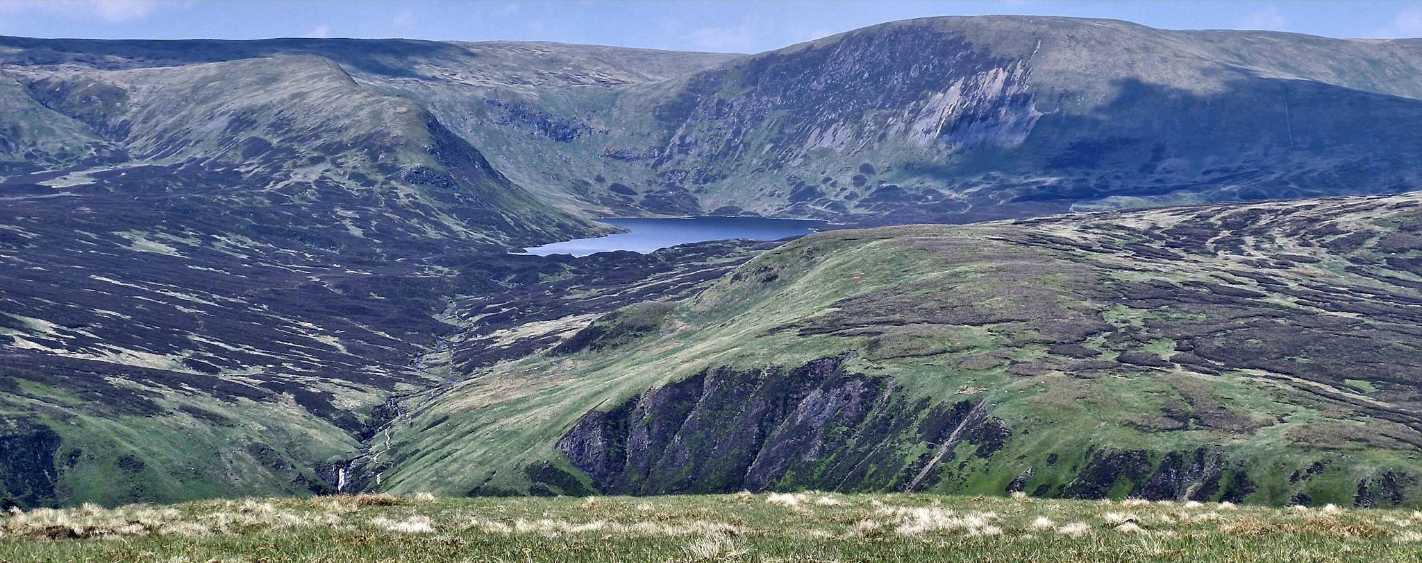
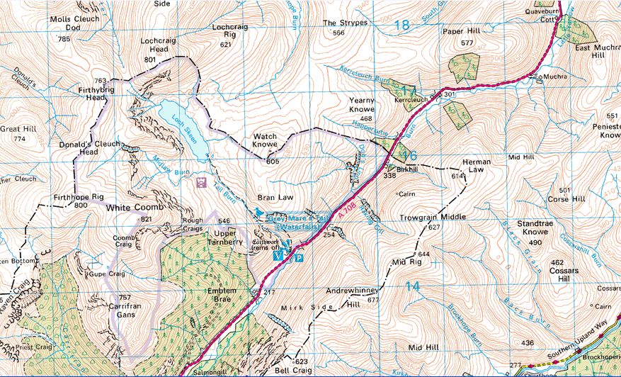
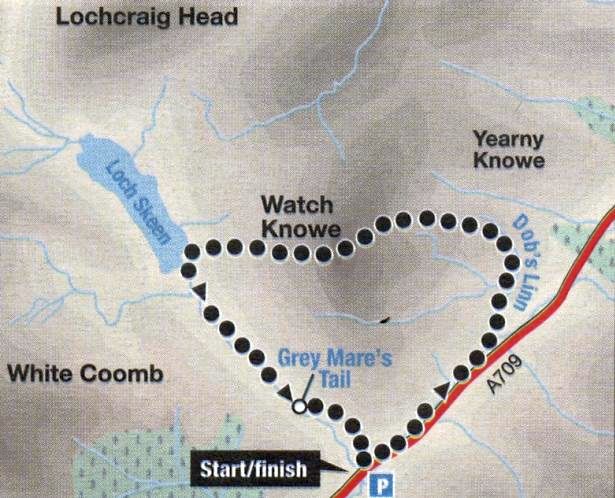
Loch Skeen was described by an 1891 Scottish Mountaineering Club hill
walking party as: “a lovely little loch, lying in a veritable cradle of
bare stony slopes topped by precipitous crags”. Loch Skeen is one of
the
jewels of the area but we were going to stay above it on the high level
rigs ( ridges ) that connect Firthybrig Head, Donald’s Cleuch Head and
Firthhope Rig before dropping down to the aptly named Rotten Bottom.
Some years ago, ecologists found pollen trapped in the peat here and
from it discovered that the area was once densely wooded with birch,
rowan, larch and holly. Today, the Borders Woodland Trust, working with
the ]ohn Muir Trust, has planted the Carrifran Glen with all these
native species. In 20 years time, these new trees will represent what
this glen was like several hundred years ago.
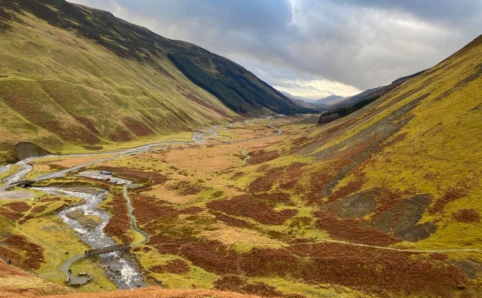
We dropped steeply down into the glen and as we reached the roadside at
Carrifran calculated we had only walked about 10 miles. It felt like
double that. These hills of Dumfries and Galloway can be as tough as
anything the Rough Bounds of Knoydart can throw at you, and are often
just as wet.
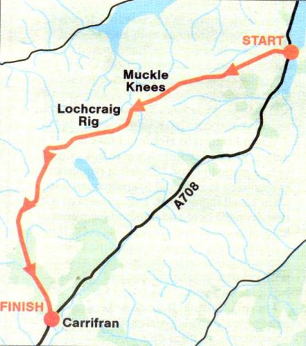
Route:
Start at Tibbie Shiels Inn ( GR: NT242205 ).
Pass the monument to James Hogg and climb the track that runs on to
Oxcleuch Rig.
Climb the ridge towards Ratlin Side and Shielhope Hill and traverse
these tops to Muckle Knees.
Descend steeply into the Winterhope Glen.
Cross the burn and ascend the long ridge of Lochcraig Rig to Lochcraig
Head.
Descend W then climb to Firthybrig Head and follow the ridge to
Donald's Cleuch Head and Firthhope Rig.
Descend SW to the edge of Rotten Bottom then steeply into the Carrifran
Glen.
Follow the burn down the glen to Carrifran ( GR: NT162116 ) on the A708.
You'll need two cars or someone to collect you at the end. It's an
eight-mile walk by road back to Tibbie Shiels Inn.

