  |
The Scottish HighlandsThe Mamores
|
  |

The Mamores The
Mamores are in the Lochaber area of the Grampian Mountains in the Scottish Highlands. They
form an east-west ridge approximately fifteen kilometres in length lying between Glen Nevis to the north and Loch Leven to the south. Ten
of the range are classified as Munros.
|

The Mamores |

The Mamores |

The Mamores |

The Mamores |

The Mamores |
The Mamores |

The Mamores |
|
Sgurr
a'Mhaim in the Mamores above Glen Nevis. It consists of schist with quartzite on top yielding the distinctive light colouring. |
|
Sgurr
a'Mhaim
( 3606ft, 1099m ) in the Mamores |
|
An
Gearanach ( 3222ft, 982m ) from Stob Coire a' Chairn |
|
An Gearanach ( 3222ft, 982m ) from Stob Coire a' Chairn |
|
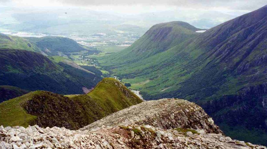
Stob Coire a' Chairn ( 3219m, 981m ) from An Gearanach ( Am Bodach in background ) |
|
Stob Coire a' Chairn |
|
from An Gearanach |
|
"Ring of Steall" in the Mamores The
"Ring of Steall"
is a classic route
traversing narrow, rocky ridges and four Munros:- An Gearanach, Stob Choire a Chairn, Am Bodach and the Devils Ridge to Sgurr a'Mhaim. |
|
"Ring of Steall" in the Mamores |
|
"Ring of Steall" in the Mamores |

from Stob Ban |
|
Steall
waterfall in Glen
Nevis beneath An Gearanach Britain's second highest waterfall
with a sheer drop of 120 metres. An Steall Bàn means "The White Spout". Waterfalls Gallery |
|
Steall
waterfall in Glen
Nevis beneath An Gearanach |
|
The
route of the West
Highland Way from Kinlochleven to Fort William runs beneath the Mamores |
 |
|
Bheinn
a Bheithir above Loch Leven from Mamores |
 |
|
Ben Nevis
|
|
The
Mamore Lodge
|
|
The
Mamore Lodge
|
|
Map of the Mamores |
|
Map of the Mamores |
|
Route Map of the Mamores from Kinlochleven on the West Highland Way |
|
The
Ring of Steall in the Mamores |
|
The
Ring of Steall - Route Description |
Ben Nevis | Knoydart | Isle of Skye | Isle of Arran | The West Highland Way
The Eastern Highlands | The Central Highlands | The Southern Highlands | The NW Highlands