  |
The Scottish HighlandsThe Mamores
|
  |

The Mamores in springtime The Mamores are in the Lochaber area of the Grampian Mountains in the Scottish Highlands. They
form an east-west ridge approximately fifteen kilometres in length lying
between Glen
Nevis to the north and Loch Leven to the south. Ten
of the range are classified as Munros.
|

The Mamores |

The Mamores in springtime |
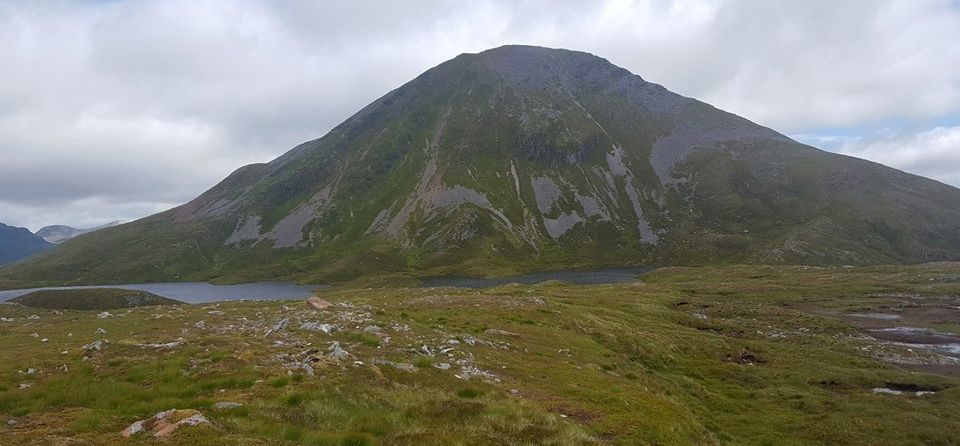
Binnein Beag ( 3094ft, 943m ) in the Mamores |
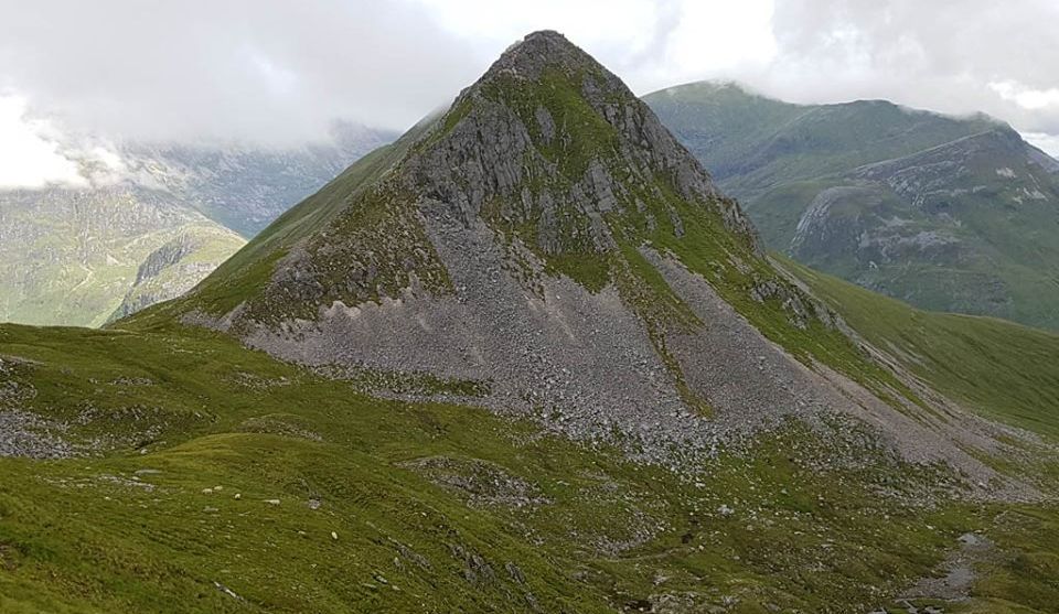
Binnein Beag ( 3094ft, 943m ) in the Mamores |
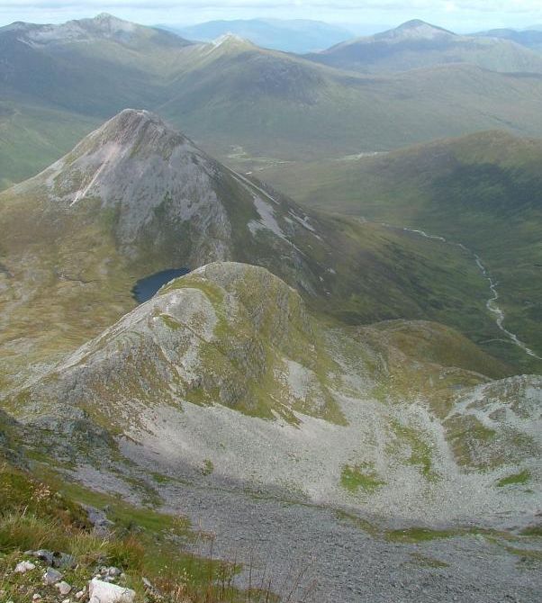
Binnein
Beag ( 3094ft, 943m ) in the Mamores The Grey
Corries are in the background |
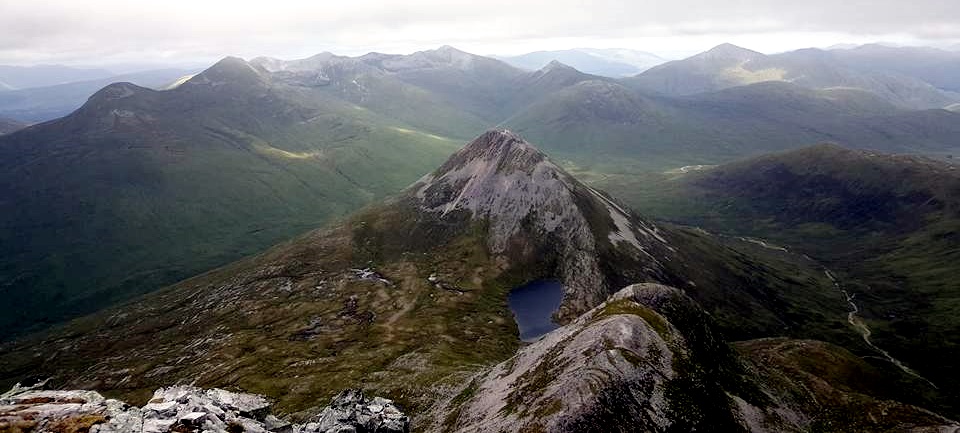
Binnein Beag ( 3094ft, 943m ) in the Mamores The Grey
Corries are in the background |
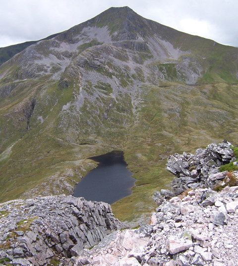
Binnein Mor ( 3707ft, 1130m ) highest summit in the Mamores.
|
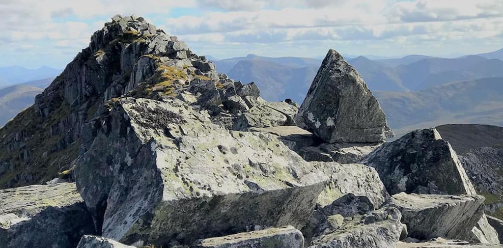
Summit of Binnein Mor ( 3707ft, 1130m ) |
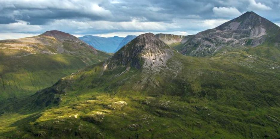
Binnein Beag ( 3094ft, 943m ) and Binnein Mor ( 3707ft, 1130m ) |
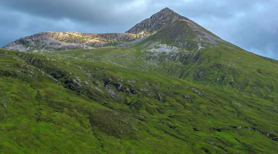
Binnein Mor ( 3707ft, 1130m ) |
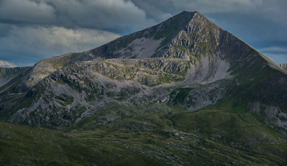
Binnein Mor ( 3707ft, 1130m ) |
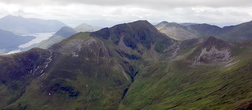
Binnein Mor ( 3707ft, 1130m ) |
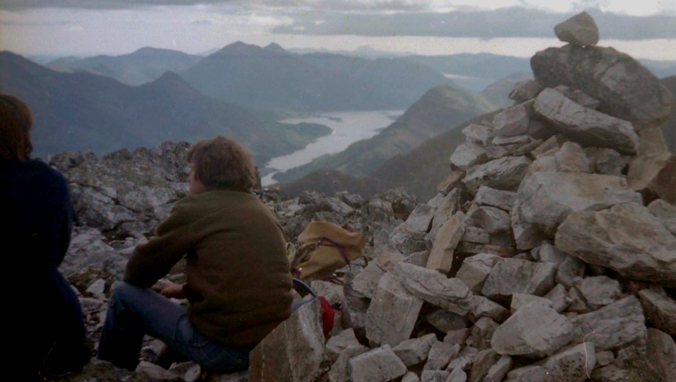 |
|
Bheinn
a Bheithir from Mamores |
 |
|
Ben Nevis from Mamores |
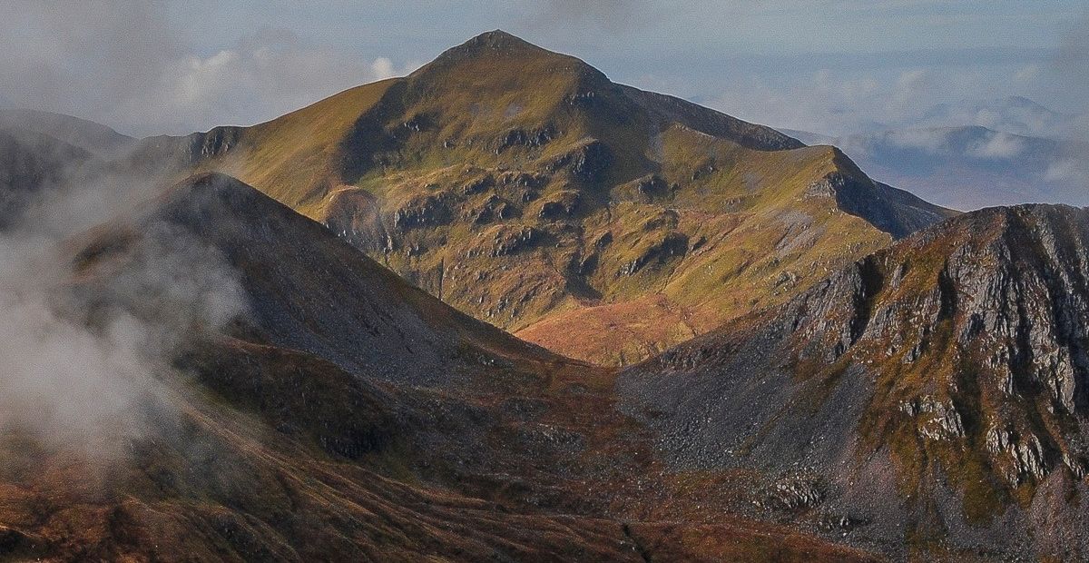
Binnein Mor ( 3707ft, 1130m ) |
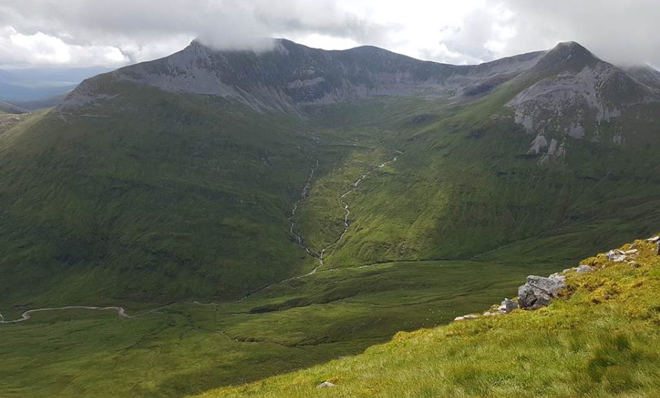
Binnein
Mor and Na Gruagaicheann |
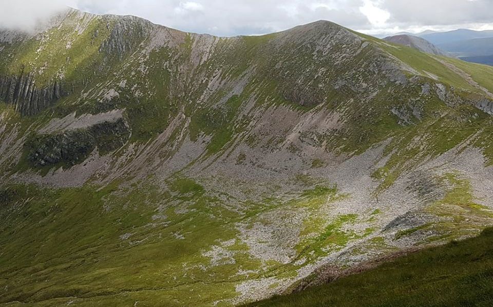
Binnein Mor and Na Gruagaicheann |
Binnein Mor ( 3707ft, 1130m ) from south ridge |
|
|
Approach to Na Gruagaichean ( 3465ft, 1056m ) from Binnein Mor Na
Gruagaichean is double
topped
- the higher summit is the South top. |
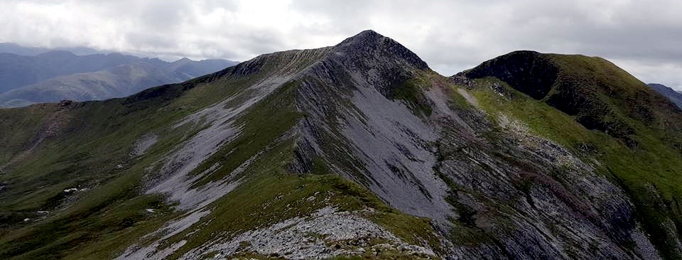
Na
Gruagaichean ( 3465ft, 1056m ) from Binnein Mor |
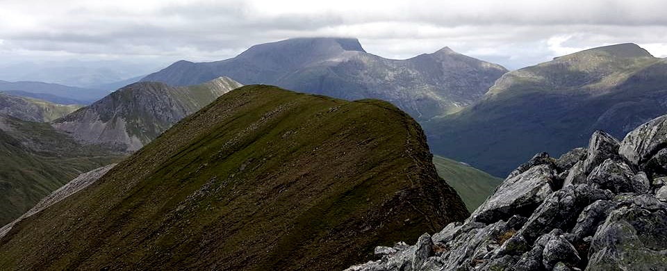
from the Mamores |
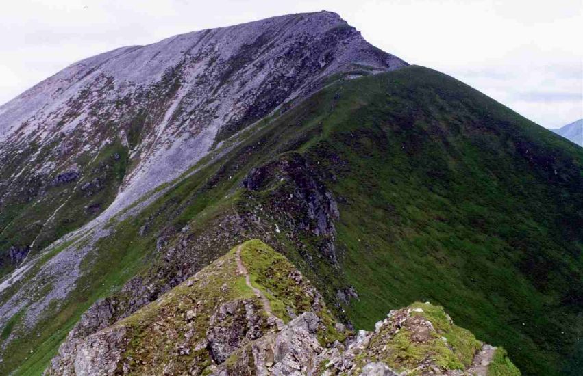
Sgurr
a' Mhaim ( 3606ft, 1099m ) from the Devil's Ridge Sgurr
a’ Mhàim is the second highest summit
in the Mamores. |
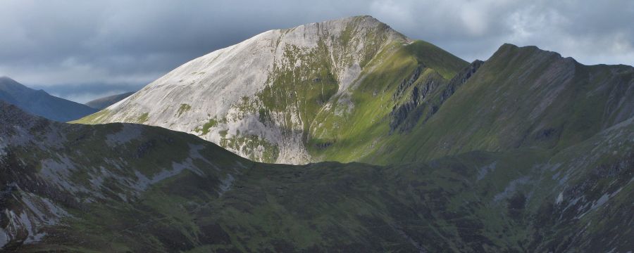
Sgurr a’ Mhàim from Beinn na Caillich |
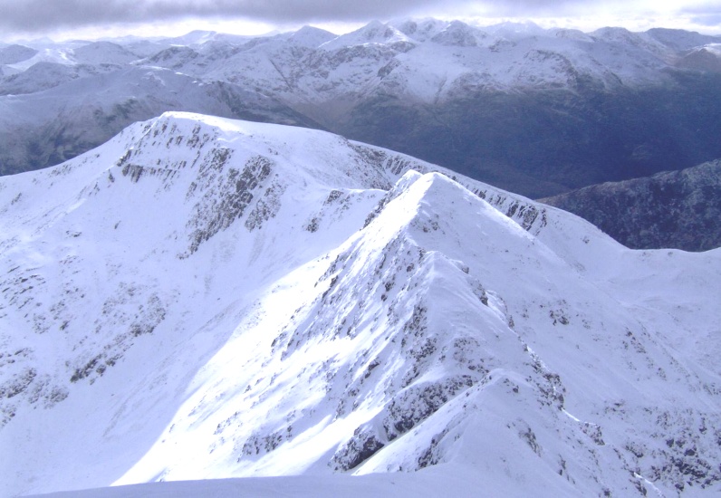
Devil's Ridge in winter |
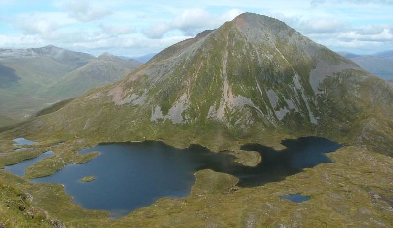
Sgurr Eilde Mor ( 3314ft, 1010m ) |
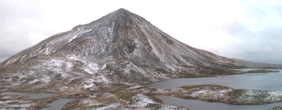
Sgurr Eilde Mor ( 3314ft, 1010m ) |
Sgurr Eilde Mor above Loch Eilde from Glas Bheinn |
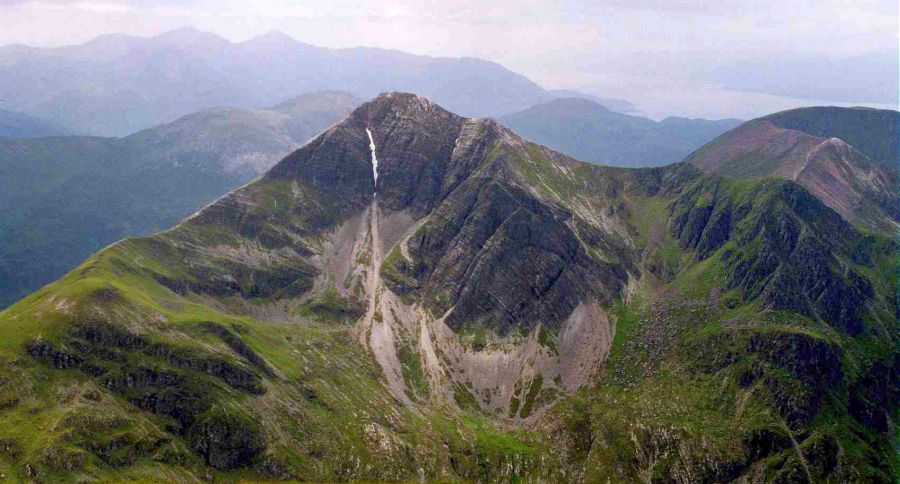
Stob
Ban ( 3278ft, 999m ) from Sgurr a' Mhaim |
Stob
Ban ( 3278ft, 999m ) from Beinn na Caillich |
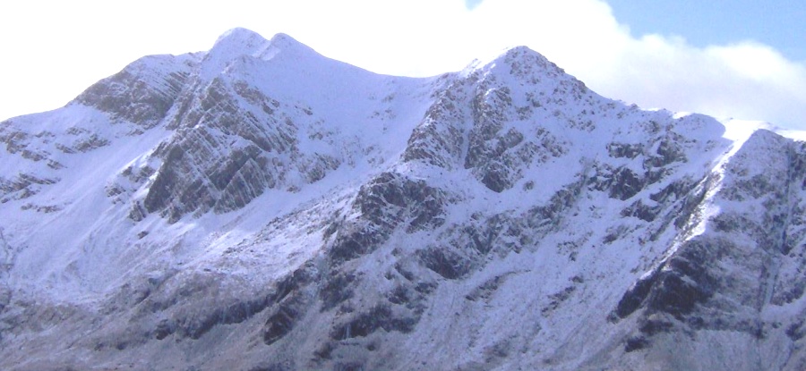 Stob
Ban in winter
|
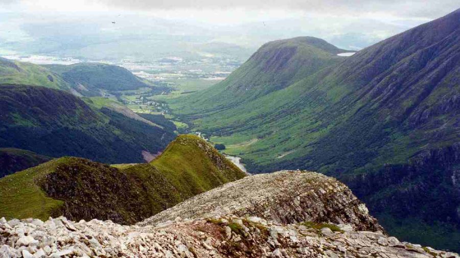
from Stob Ban |
|
Map of the Mamores |
|
Map of the Mamores |
|
Route Map of the Mamores from Kinlochleven on the West Highland Way |
|
Route Map of the Mamores |

Ben Nevis | Knoydart | Isle of Skye | Isle of Arran | The West Highland Way
The Eastern Highlands | The Central Highlands | The Southern Highlands | The NW Highlands