  |
The Scottish HighlandsAuchnafree Hill
|
  |
Auchnafree
Hill above Loch Turret
|
Hills above Loch Turret |
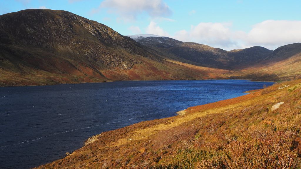 Hills above Loch Turret |
Ben
Chonzie at head of Loch Turret
|
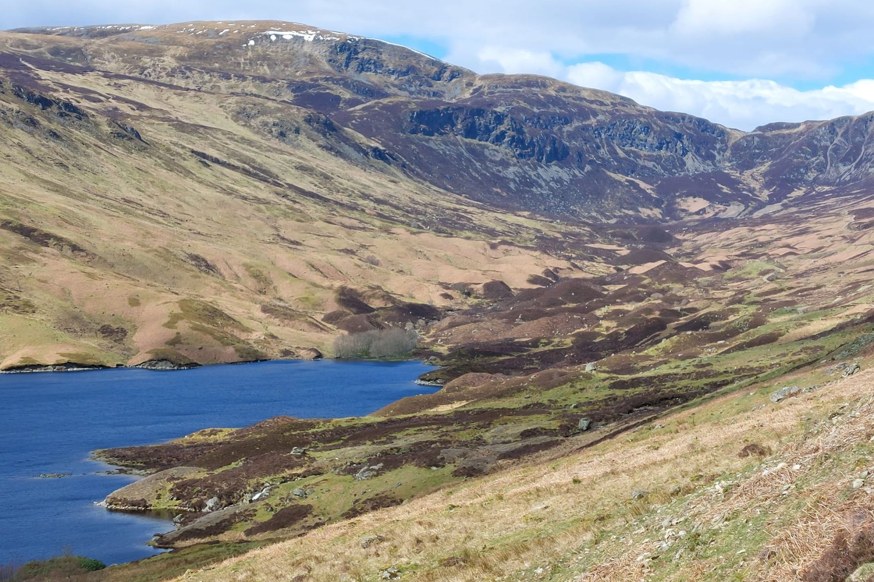 Ben
Chonzie above Loch Turret
|
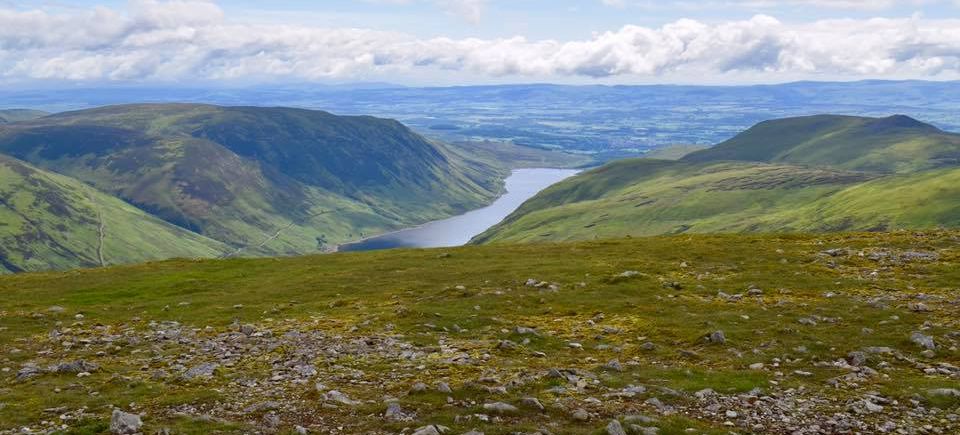 Auchnafree
Hill and
Loch Turret
from Ben Chonzie |
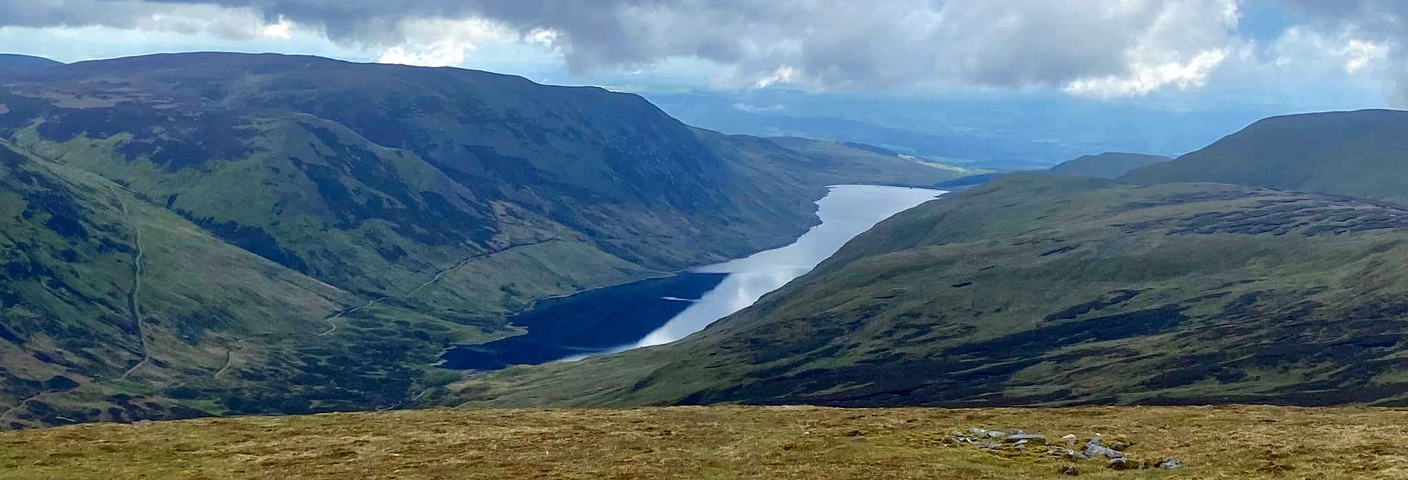 Auchnafree
Hill and
Loch Turret
from Ben Chonzie |
Cairns
on summit of Auchnafree
Hill
|
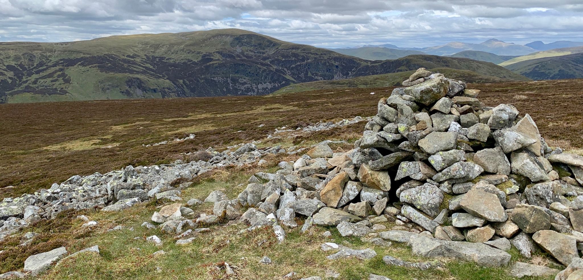 Ben
Chonzie ( 3054ft, 931m )
from Auchnafree Hill |
|
|
|
Ben
Chonzie
above the River Almond |
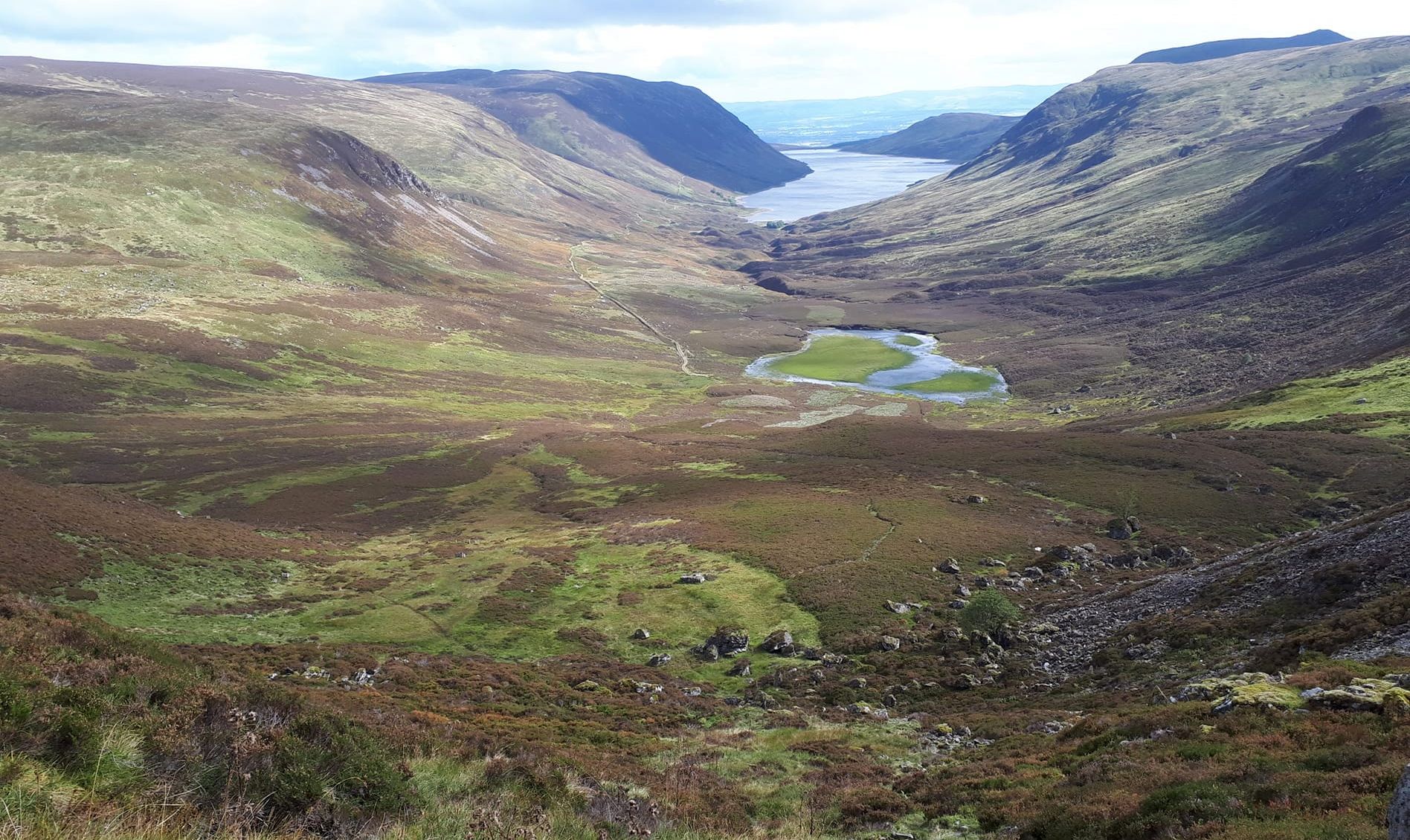 Loch
Turret from Ben Chonzie
|
Hills
above Loch Turret on descent from Auchnafree Hill |
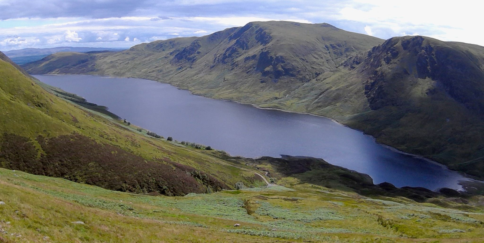 Hills
above Loch Turret on descent from Auchnafree Hill |
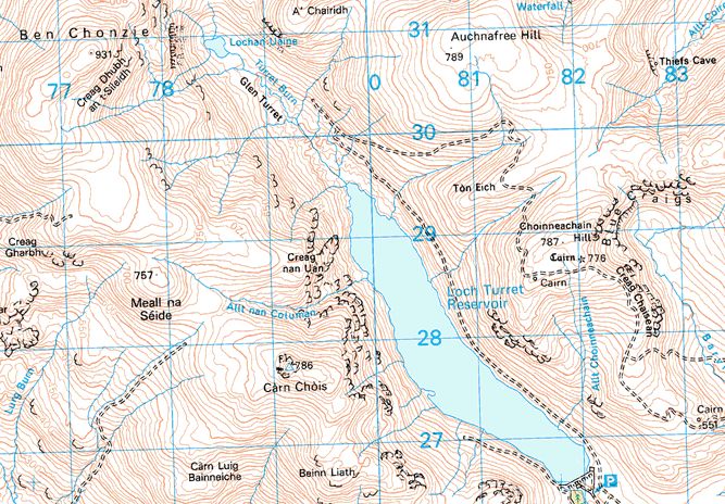 Map of
Auchnafree Hill
and Loch Turret |
AUCHNAFREE HILL - ROUTE DESCRIPTION
Location: Perthshire
Map: OS Landranger 52
Distance: 11 miles ( 16km )
Time: 5-6 hours
Terrain: Mountain walk
Perthshire's Ben Chonzie has often suffered bad press from outdoor writers and while it certainly isn't the most inspiring Munro, its ascent
can be brightened considerably by tagging it together with the nearby Corbett of Auchnafree Hill.
What this route offers is a high-level horseshoe walk around lovely Loch Turret with extensive views across some surprisingly wild and remote country.
Chonzie‘s flat summit rises well above the surrounding hills, but its northern slopes drop into the lonely upper reaches of Glen Almond and
that massive empty quarter of hilltop and ridge that lies southeast of Loch Tay.
Likewise, Auchnafree Hill, the “hill of the field of the deer forest", at 2,589ft / 789m, has a sprawling plateau of a summit, but it arguably has more
going for it than its Munro neighbour.
Long, broad ridges straggle roughly eastwards into Glen Almond and the Sma' Glen and in between them lie some impressive craggy corries.
Corbett-baggers will be well aware that Auchnafree can be climbed by various routes - from Glen Almond or from Auchnafree at the foot of Glen
Lochan or from Loch Turret, only a few minutes drive from Crieff, in the south. This latter route would appear to be the most popular, via a fairly
stiff pull up onto the hi1l's southern neighbour, Choinneachain Hill.
Auchnafree‘s summit is unfrequented. Indeed, mountain hares outnumber homo sapiens by about a hundred to one.
Perhaps that says something for its lack of popularity but given the right conditions and circumstances it can give a
memorable, if fairly short, day out.
From the dam at the foot of Loch Turret a good track follows the north shore of the loch and climbs high into the atmospheric corrie at the head of
Glen Turret. Before you get that far, another track breaks away eastwards and climbs steeply onto a high col just south of Auchnafree’s summit
before winding its way south over neighbouring Choinneachain Hill and down to meet another linking track that takes you back to the dam.
From Auchnafree's plateau and its pair of summit cairns ( which is the highest is anybody’s guess ) descend back to the track.
The track running south from Choinneachain Hill provides diverse views — to the north a great bite had been taken from the hill's eastern
flanks to form an impressive corrie ringed by the steep rock of the Blue Craigs, an unexpected feature in an area of rounded hill slopes. To the
south and east are the wooded hills of Cricff and Gilmerton and the fertile strath of the River Almond towards Perth.
Beyond lie the twin peaks of the Lomond Hills of Fife.
Route:
Leave the car park below Loch Turret dam and follow the track on the NE shore of the loch.
Just beyond the head of the loch, at the first track junction, turn right and follow the track as it climbs
steeply on to the shallow col just South of the summit plateau.
At another track junction turn left and follow this track, which soon disintegrates into a footpath, to the summit cairns.
Return to the track on the col.
Follow it over Choinneaohain Hill and down that hill's SE ridge to where it meets the Barviok Burn.
Shortly after, turn right at another track junction and follow this track back to the dam.
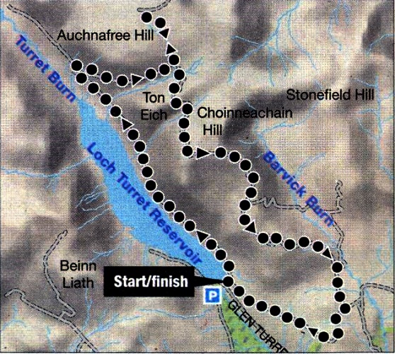 Map of
Auchnafree Hill
and Loch Turret |
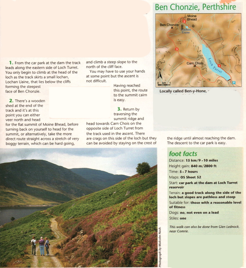 Route
Description and Map for Ben Chonzie
|
