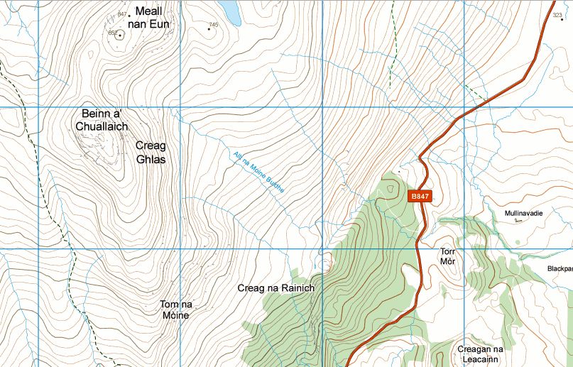
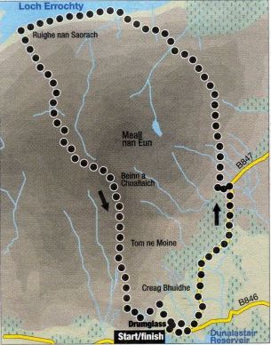
BEINN a'CHUALLAICH - ROUTE DESCRIPTION:
Locatlon: Perthshlre
Map: OS Landranger 42
Distance: 12mil|es ( 20km )
Time: 7 hours
Terrain: moderate hillwalk
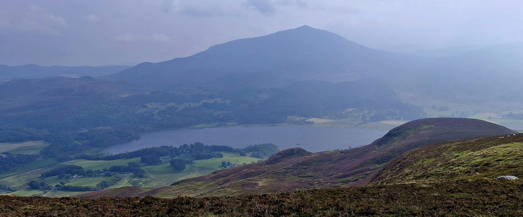
"I sat with my back against the wall of a ruined farmhouse looking across the waters of Loch Errochty to the nearby hills of the Dalnacardoch Forest.
I had walked over the hill on a fine old track from the Trinafour road, my only company the odd scraggly looking blackface - for this was sheep country.
I wondered how many farmsteads and shielings were now hidden from sight. below the blue waters of the loch that looks so natural in its fold in the hills
between Beinn a’ Chuallaich and Sron Chon, for Loch Errochty is a man-made reservoir, created in 1957 as part of phase two of the Tummel
hydroelectric power scheme.
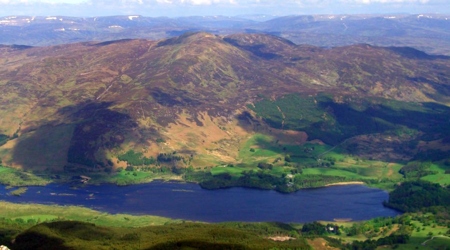
Here at the western end of the loch. far removed from its concrete dam above Trlnafour, there was still a great sense of wildness and the loch looks like
a natural part of this mountainous landscape that rises between Loch Ericht and Glen Garry, Perthshire.
The hill that rose behind me was another clue to the legacy of sheep farming. Beinn a‘ Chuallaich is the hill of herding, and a Corbett.
I had noticed on the map a hill track that ran over the hill’s Meall na Moine outlier and down to Loch Enochty from the old farmstead at Ruighe nan Saorach, on the shores
of the loch. Another track ran over the hill and back to Drumglas offering a fine hill circuit of 11 or 12 miles.
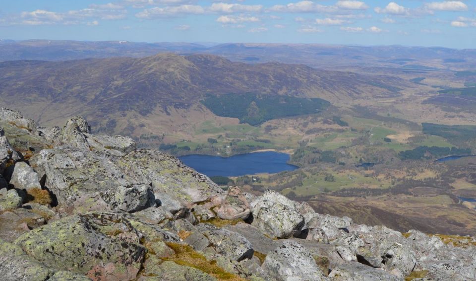
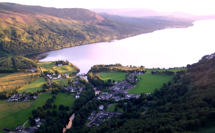
Beinn a‘ Chuallaich, which rises above the village of Kinloch Raunoch. is just under 3000ft. As part of
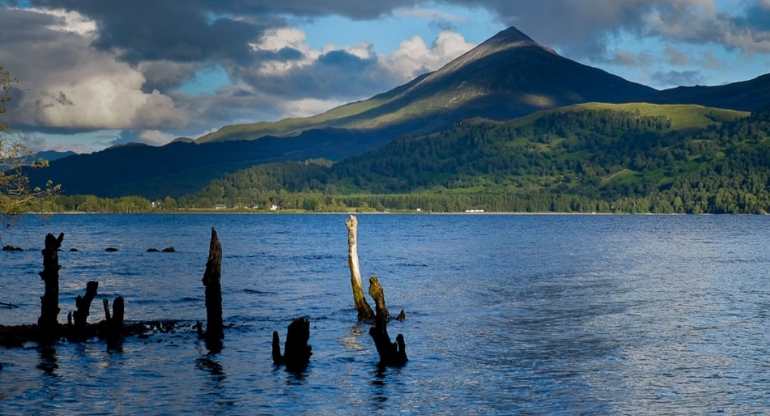
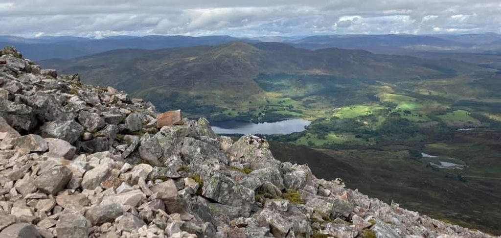
a longer circuit it would offer a fine vantage point for Schiehallion in the south, and out along Loch Rannoch, the old Road to the Isles to the hills of the west.
l had left the car by the roadside above the forest and found the track that eased its way north over the Meall na Molne and then down to Loch Errochty's shoreline.
A vintage tractor-of-sorts stood by the old sheep pens, its tyres embedded in the earth, the grass and bracken fronds growing into its engine.
I have no doubt it has stood there since the late 1950s when these sheep farms were abandoned in favour of flooding the glen.
lt did not take long to climb south to Beinn a‘Chullaich and from its tall summit cairn I returned to the footpath that offered an easy descent route
down to Dunalastair Water. Only a couple of miles on the quiet road were left to complete a grand hill circuit that gave me a little glimpse of times gone by."

