West Highland Way: Trailblazer Ochils and Campsie Fells

 Bearsden & District

Kirkintilloch

West Highland Way - Map West Highland Way: Footprint Map


Photographs of the town of Kirkintilloch

 in East Dunbartonshire in Central Scotland


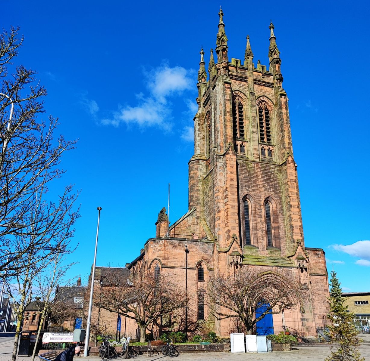
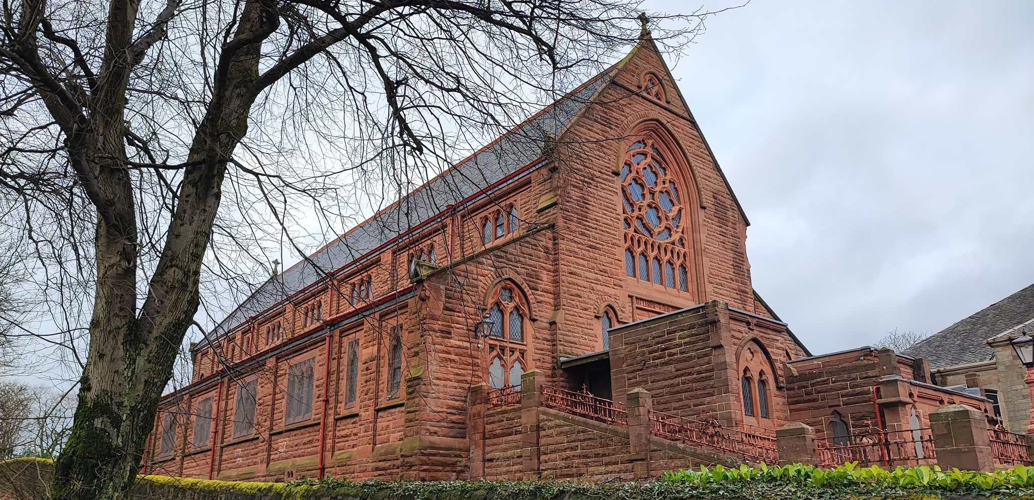
St Mary's Church in Kirkintilloch

St Mary's Church in Kirkintilloch

Kirkintilloch lies on the Forth and Clyde Canal,

 some eight miles northeast of Glasgow.

 Kirkintilloch is the administrative centre

 of East Dunbartonshire.


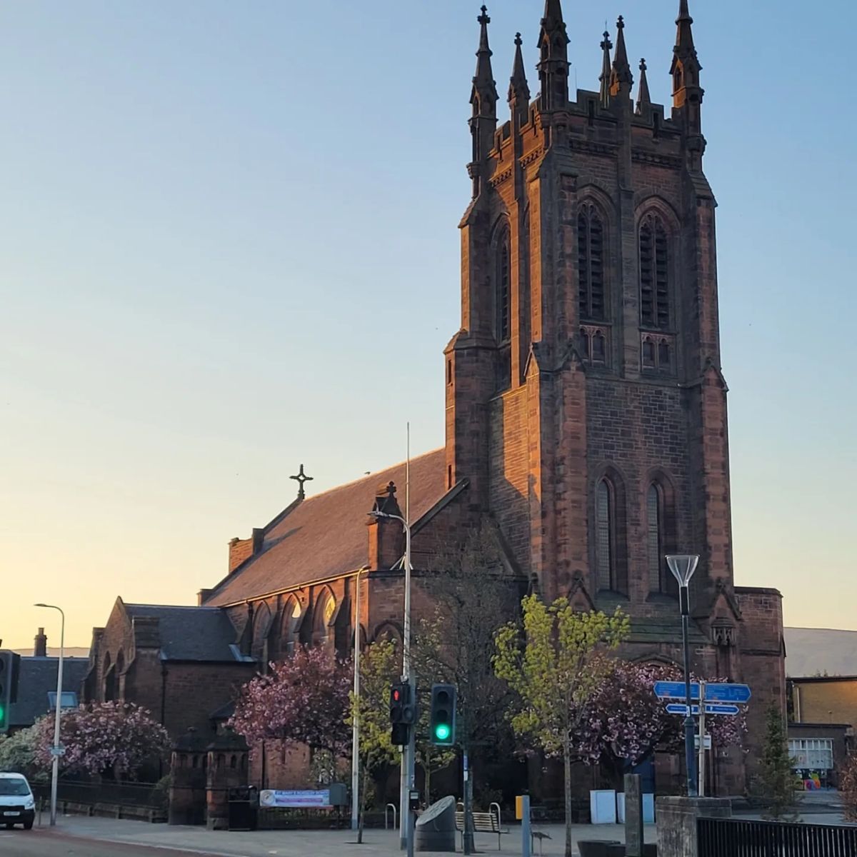
St Mary's Church in Kirkintilloch

St Mary's Church in Kirkintilloch


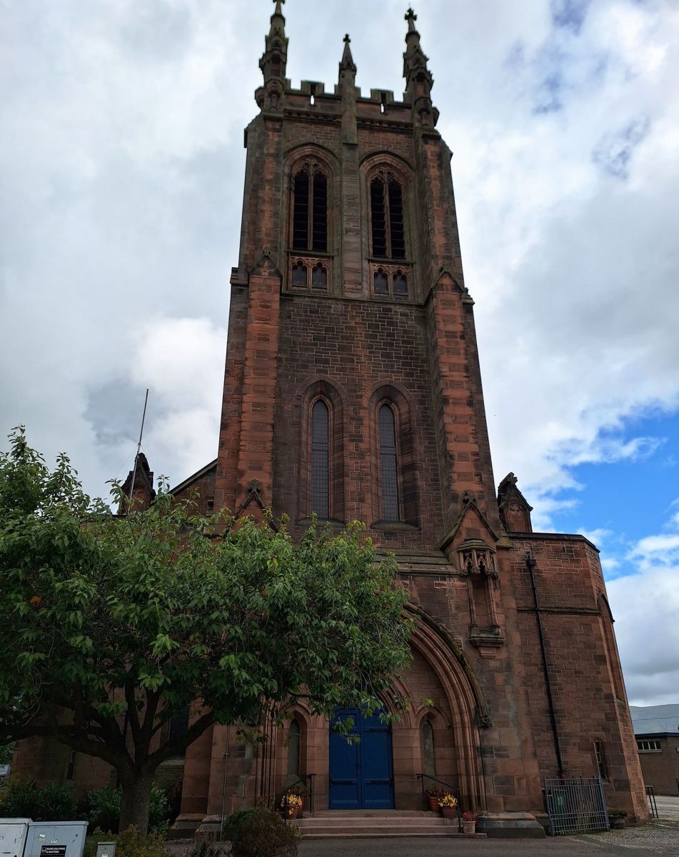
St Mary's Church in Kirkintilloch

St Mary's Church in Kirkintilloch


St Mary's Church in Kirkintilloch

St Mary's Church in Kirkintilloch


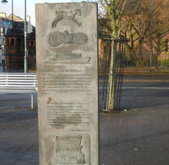
Plaque outside St Mary's Church in Kirkintilloch

Plaque outside St Mary's Church

 in Kirkintilloch

( Note: Click here or onabove for large format copy )


Signpost in Kirkintilloch


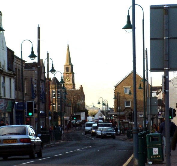
Main Street in Kirkintilloch

Main Street

in Kirkintilloch


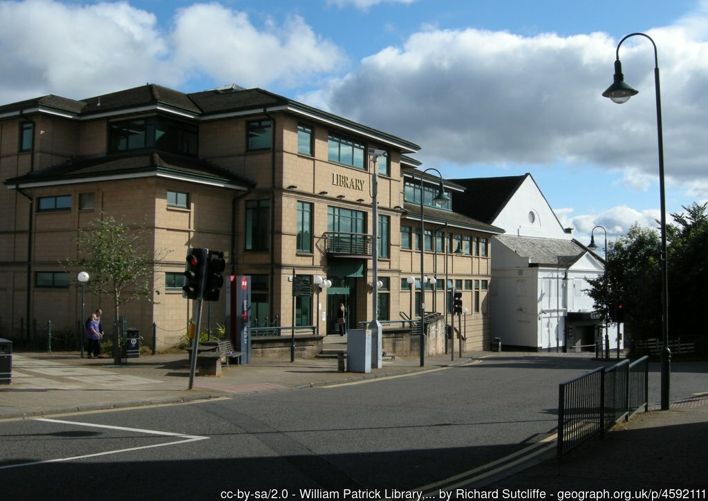
William Patrick Library in Kirkintilloch

William Patrick Library 

in Kirkintilloch


The Auld Kirk in Kirkintilloch

The Auld Kirk

in Kirkintilloch


Memorial Entrance Archway to Peel Glen Park in Kirkintilloch

War Memorial marble Archway

 to Peel Glen Park

 in Kirkintilloch


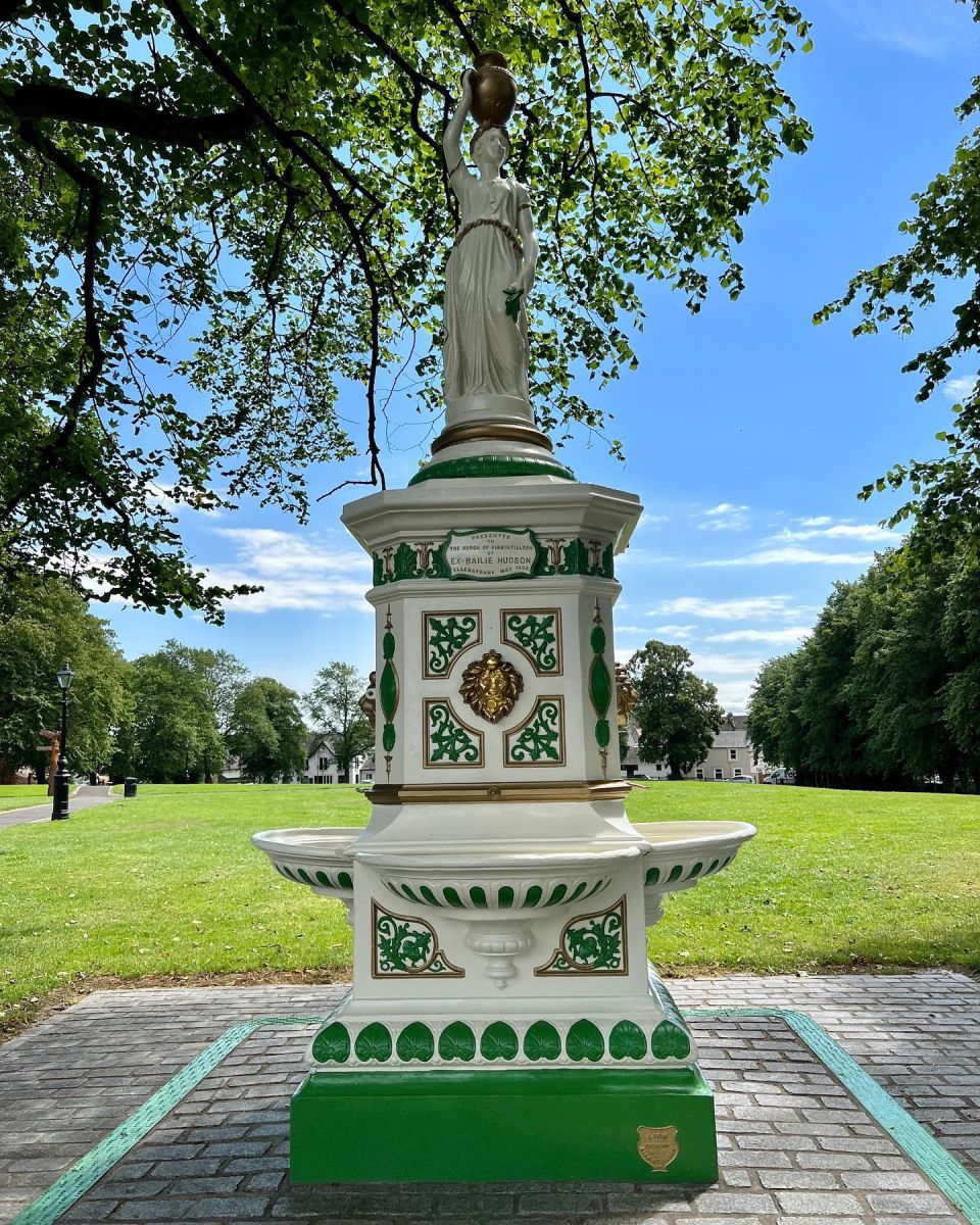
Drinking Fountain in Peel Glen Park in Kirkintilloch

Drinking Fountain

 to Peel Glen Park

 in Kirkintilloch


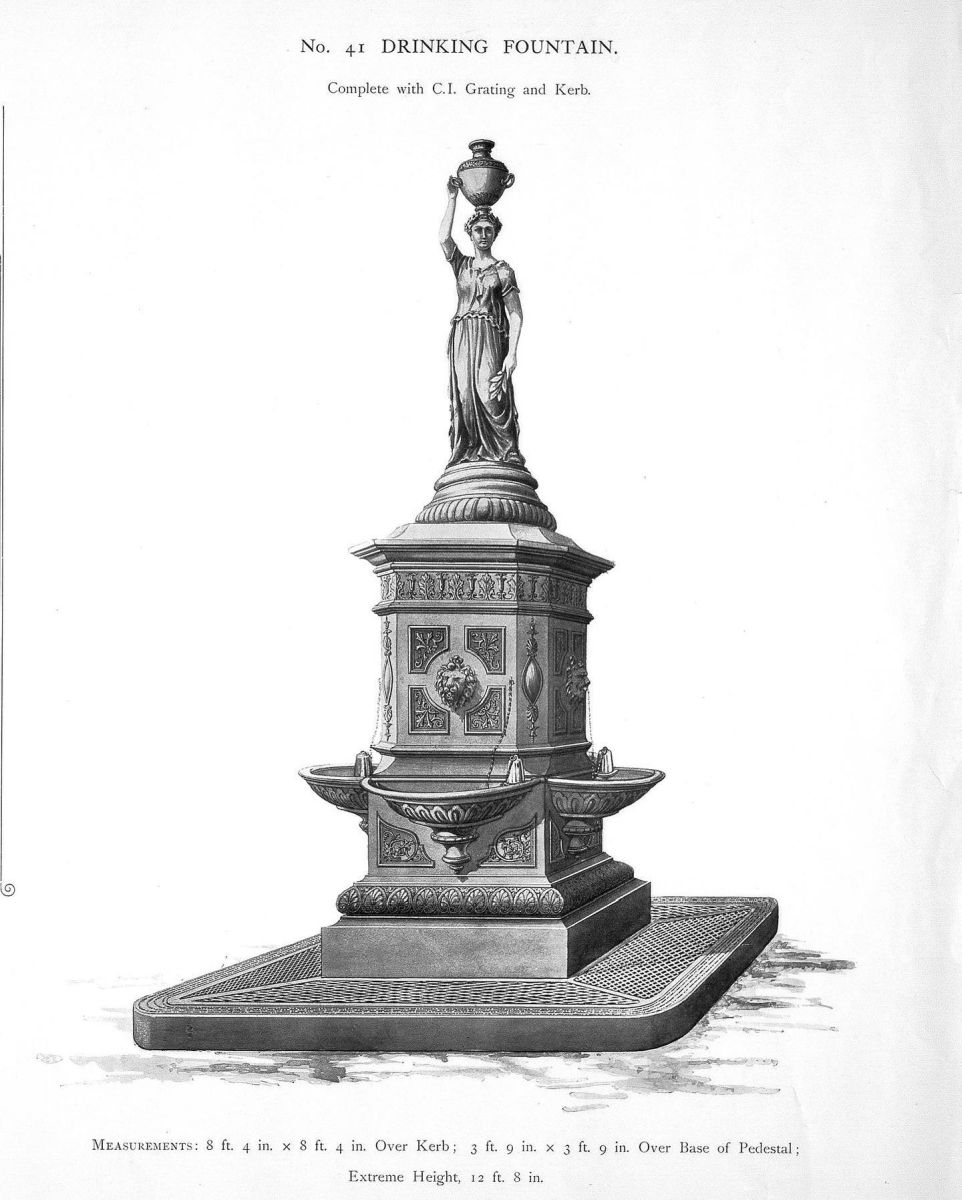
Drinking Fountain in Peel Glen Park in Kirkintilloch

Drinking Fountain

 to Peel Glen Park

 in Kirkintilloch


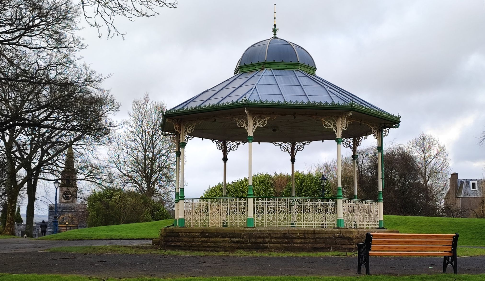
Bandstand in Peel Glen Park in Kirkintilloch

Perry Bandstand in Peel Glen Park

 in Kirkintilloch

The line of the Antonine Wall runs through the park.

The bandstand and fountain was made in Kirkintilloch

by the Lion Foundry, famous for its decorative ironwork.

Donated both to the people of Kirkintilloch in 1905.

They now stand as a memorial to the foundry,

which closed in 1984.

The Park also has links to mediaeval times

when a castle was built in the 13th century by the Comyn family.

It guarded one of Scotland's first Burghs of Barony,

a status accorded to Kirkintilloch in the year 1211.

The name Kirkintilloch derives from Caerpentaloch

- "Fort at the head of the ridge"

The park affords views of the Campsie Fells


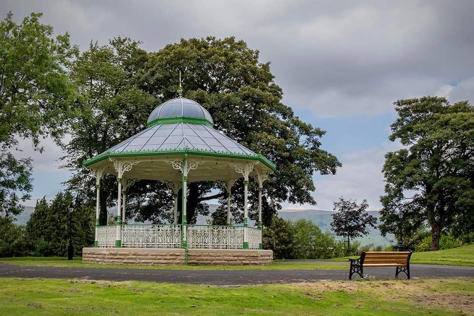
Bandstand in Peel Glen Park in Kirkintilloch

Perry Bandstand in Peel Glen Park

 in Kirkintilloch


Bandstand in Peel Glen Park in Kirkintilloch

Perry Bandstand in Peel Glen Park

 in Kirkintilloch


Bandstand in Peel Glen Park in Kirkintilloch

Perry Bandstand in Peel Glen Park

 in Kirkintilloch


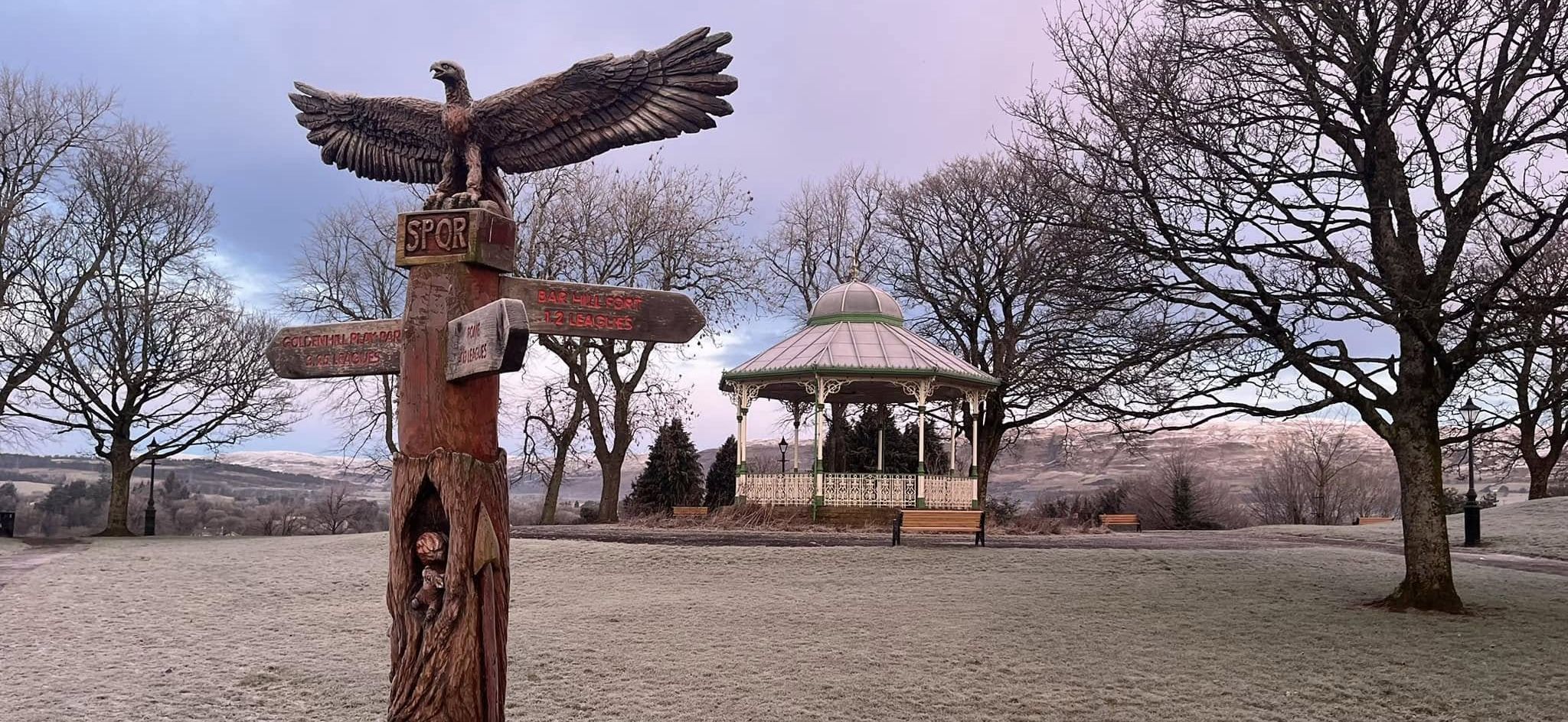
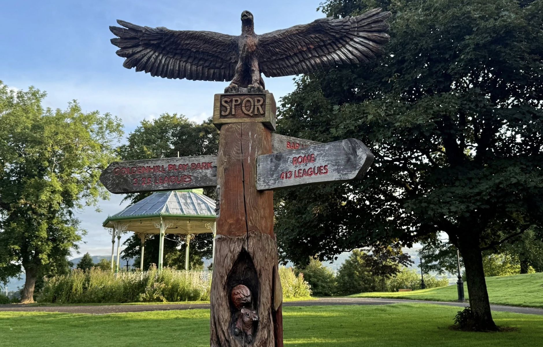
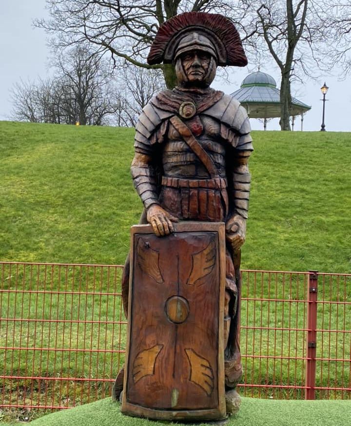
Roman soldier in Peel Glen Park in Kirkintilloch

Roman soldier in Peel Glen Park

 in Kirkintilloch


Peel Glen Park in Kirkintilloch


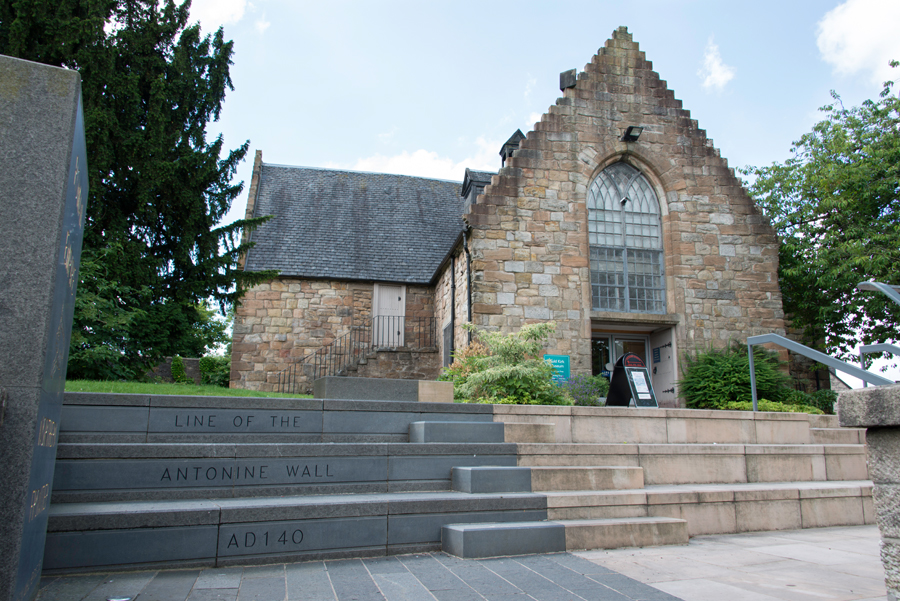
Auld Museum in Kirkintilloch

Auld Museum  in Kirkintilloch

The line of the Antonine Wall

runs through
Peel Glen Park


St Ninian's Church in Kirkintilloch

St Ninian's Church

 in Kirkintilloch


St Ninian's Church in Kirkintilloch

St Ninian's Church

 in Kirkintilloch


St David's Memorial Church in Kirkintilloch

St David's Memorial Park Church

 in Kirkintilloch


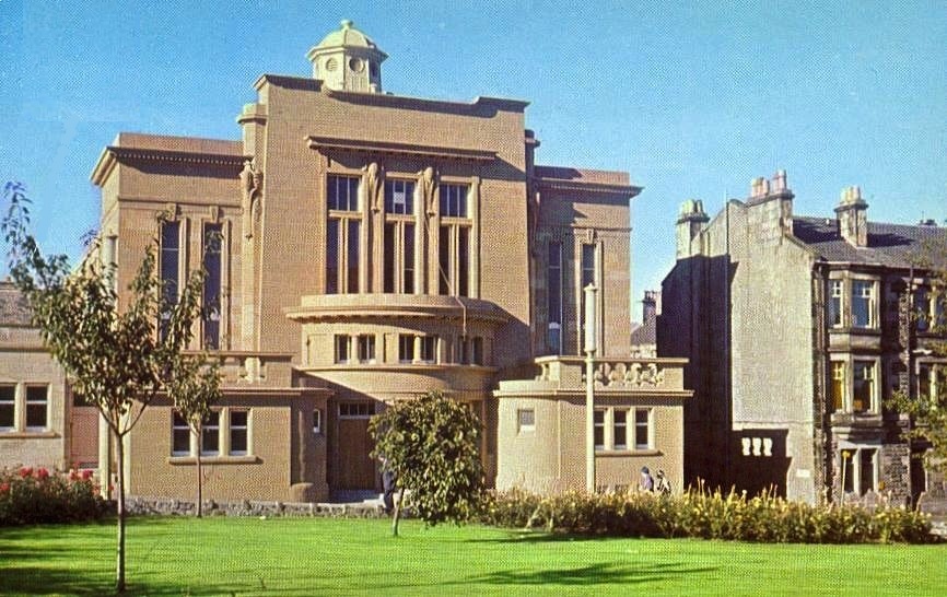
Town Hall in Kirkintilloch

Town Hall ( as it was )

 in Kirkintilloch


Hillhead Bridge and Basin on the Forth and Clyde Canal in Kirkintilloch

Hillhead Bridge and Basin

 on the Forth and Clyde Canal

 in Kirkintilloch


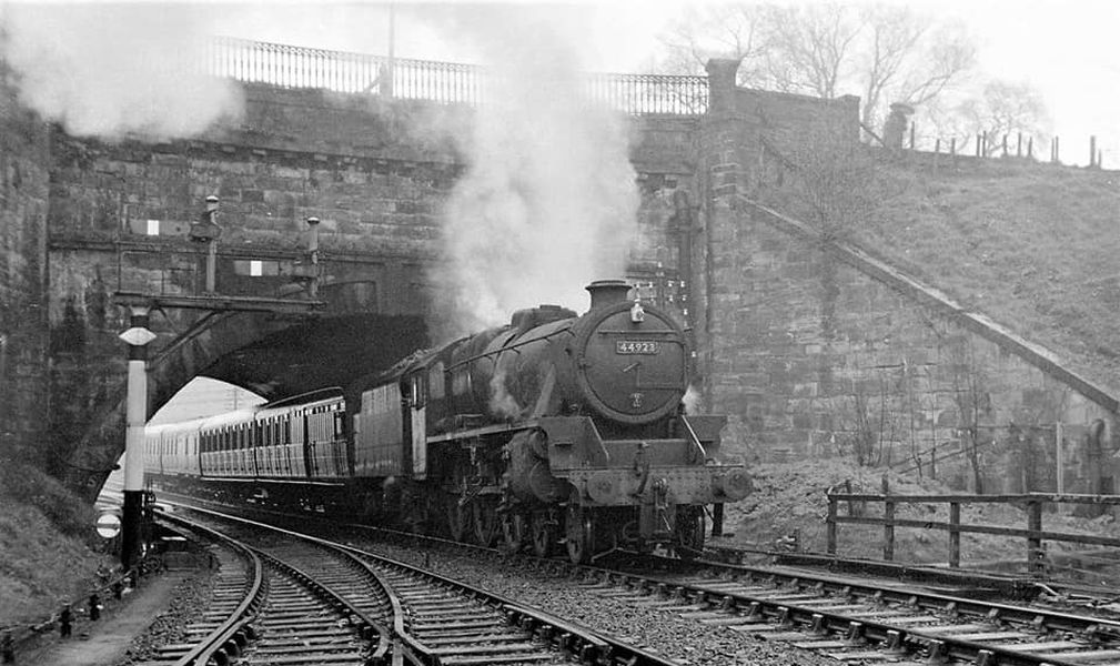
Railway Bridge in Kirkintilloch

Railway Bridge

 in Kirkintilloch


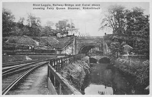
Luggie Water in Kirkintilloch

Canal Bridge, Railway Bridge

Luggie Water

 in Kirkintilloch


Boats in South Bank Marina on Forth and Clyde Canal at Kirkintilloch

Boats in South Bank Marina

 on Forth and Clyde Canal

at Kirkintilloch


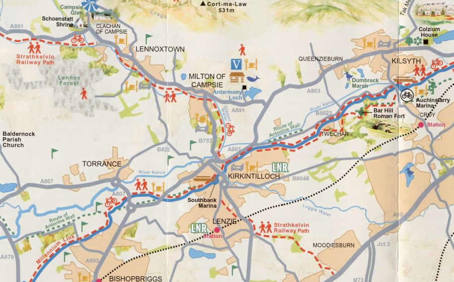
Map of Kirkintilloch and surroundings

Map of Kirkintilloch and Surroundings


KIRKINTILLOCH TOWN WALK - ROUTE DESCRIPTION:

This is a short circular walk of about two miles in and around Kirkintilloch with many highlights of historical importance within Peel Park.
The walk starts from Barleybank car park in the centre of Kirkintilloch.
To get there by car, turn ofl the A803 Kilsyth ring road at the traffic lights on the north side of Kirkintilloch onto New Lairdsland Road, A806 Cumbernauld, and after the second set of traffic lights plus the pedestrian lights, turn right into the carpark ( signed Barleybank ) which is between St Mary’s Church and the
Forth and Clyde Canal. It has a three hour maximum stay limit.
On leaving the car park the walk turns right into Cowgate, crosses diagonally at the next set of traffic lights ( Catherine Street ) and continues along Cowgate to pass by the Regent Centre and the attractive Rose Garden, dedicated to the memory of Diana, Princess of Wales, who visited Kirkintilloch on March 10, 1992.
lt then turns left into Union Street and after passing the Holy Family & St Ninians Parish Church turns right through the gates to enter Peel Park.
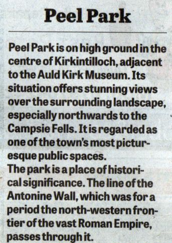
This park has recently been extensively restored with Lottery funds to partly emphasise its association with the
Antonine Wall.
The discovery of Roman objects signified the presence of the wall running through the park, an ideal position with its open panoramic landscape looking northwards to the Campsie Fells.
It is reported that the wall was built of turf stacked on top of a stone foundation and had a massive ditch running along its northern edge.
Forts were known to have been dotted along its length and one is reputed to have been in this area, as the name Kirkintilloch has been developed from the earlier name Caerpentaloch, which means ‘the fort at the head of the ridge.
Other points of interest on walking through the park are the Perry Band stand, donated by Baillie David Perry in 1905 and to the right the arched marble gateway, donated as awar memorial tribute in 1925 by James Fletcher.
Turning to the left is the Hudson Fountain, donated by Baillie Robert Hudson in 1905. The elegant figure on the top of the statue is reputed to be that of Faustina, the daughter of Emperor Antonius Pius, afler whom the Antonine Wall is named.
Continuing on this path, the walk leaves the park onto Camphill Avenue and passes on the right, Camphill House, built in the 1870s and given to the town as a public library in 1929 by David Patrick, the town clerk, in memory of his brother.
The walk turns left and continues along Bellfield Road with its mansion type houses.
After passing Westermains Bowling Club and St Ninian’s High School, it takes the narrow path on the left to the
Forth and Clyde Canal towpath.
It turns left and heads back along the tow path passing the boat shaped bridge. The canal section is a quiet, pleasant part of the walk.
At the next exit point the walk leaves the tow path, back to Cowgate and across to the car park.


Forth & Clyde Canal Gallery Photo Gallery  :: Kirkintilloch Gallery Photo Gallery

<< Back : Bearsden Index : Next >>


Scotland Index :: Scottish Peaks :: Scotland Walks

Glencoe | Ben Nevis | Knoydart | Isle of Skye | Isle of Arran

The Eastern Highlands | The Central Highlands | The Southern Highlands | The NW Highlands


Adventure Travel : Worldwide Mountaineering : Site Index

fb icon  google+ icon Linkedin icon  twitter


Guide Books & Maps - Scotland:-


West Highland Way: Footprint MapWest Highland Way - Map West Highland Way - Map Western Scotland & the Western Isles OS Road Map Northern Scotland OS Road MapSouthern Scotland OS Road MapGlasgow Popular Hills - Map


Ochils and Campsie Fells

Glasgow Visitor Guide - Colin Baxter Itchy Insider's Guide to Glasgow Glasgow Footprint Pocket Guide Glasgow Insight Pocket Guide Glasgow Guide Pub Companion Glasgow Scotland's Highlands & Islands - Rough Guide Scotland - Rough Guide

Glasgow Insight Pocket GuideCollins Street Map of GlasgowGlasgow: Then & NowThey belonged to Glasgow Phillips Street Atlas of Glasgow & West Central Scotland Glasgow: The Photographic Atlas100 Hillwalks around Glasgow 50 Walks in Glasgow & SW Scotland

Visit Scotland - Touring Guide Scotland: Where to Stay - Hotels & Guest Houses Scotland: Where to Stay - Bed & Breakfast Rough Guide ScotlandScottish Highlands & Islands - Rough Guide Scotland - Lonely PlanetScotland's Highlands & Islands - Lonley Planet Great Glasgow StoriesGlasgow & Surroundings - Insight Guide

West Highland Way: Official GuideWest Highland Way: Rucksac ReadersWest Highland Way: TrailblazerThe West Highland WayWest Highland Way: Footprint MapWest Highland Way - Map West Highland Way - Map West Highland Way Wet Highland Way - Official Guide

Munro Almanac The High Mountains of Britain and Ireland The Munros: Scottish Mountaineering Club The Isle of Skye The Isle of Arran Wilderness Walks Ski Mountaineering in Scotland

More Wilderness Walks 50 Best Routes on Skye and Raasay Skye - W.A.PoucherMagic of the Munros Mountaineering in Scotland and Undiscovered Scotland by W.H.MurrayA Long Walk on the Isle of Skye

Classic Climbs - Central & Southern Highlands The Isle of Arran Lonely Planet, Walking in ScotlandPathfinder Guide: Skye and NW Highlands WalksPathfinder Guide: Fort William and Glen Coe Walks Rambler's Guide: Ben Nevis and Glen Coe50 Best Routes on Skye and Raasay - Chris Townsend


Google Analytics


Google Analytics

extremetracking
 eXTReMe Tracker


extremetracking
Sitelock caingram.com
SiteLock
Sitelock
Sitelock caingram.info
SiteLock
Sitelock