Munros Tables SMC Ben Lawyers & Glen Lyon OS Map

 The Scottish Highlands


Meall nan Tarmachan
The High Mountains of Britain & Ireland Southern Highlands - Map

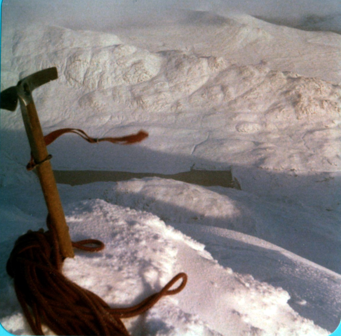
Photographs of an ascent of Meall nan Tarmachan

from Coire Riadhailt on the northern side


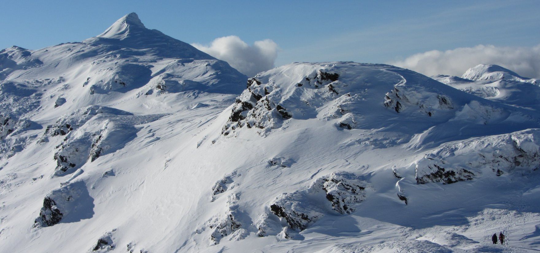
Northern Side of Meall nan Tarmachan from Coire Riadhailt

Northern Side

 of Meall nan Tarmachan

 above Coire Riadhailt


Meall nan Tarmachan from Coire Riadhailt

Meall nan Tarmachan

 from Coire Riadhailt


Cliffs of Meall tan Eich above Coire Riadhailt

Cliffs of Meall tan Eich

 above Coire Riadhailt


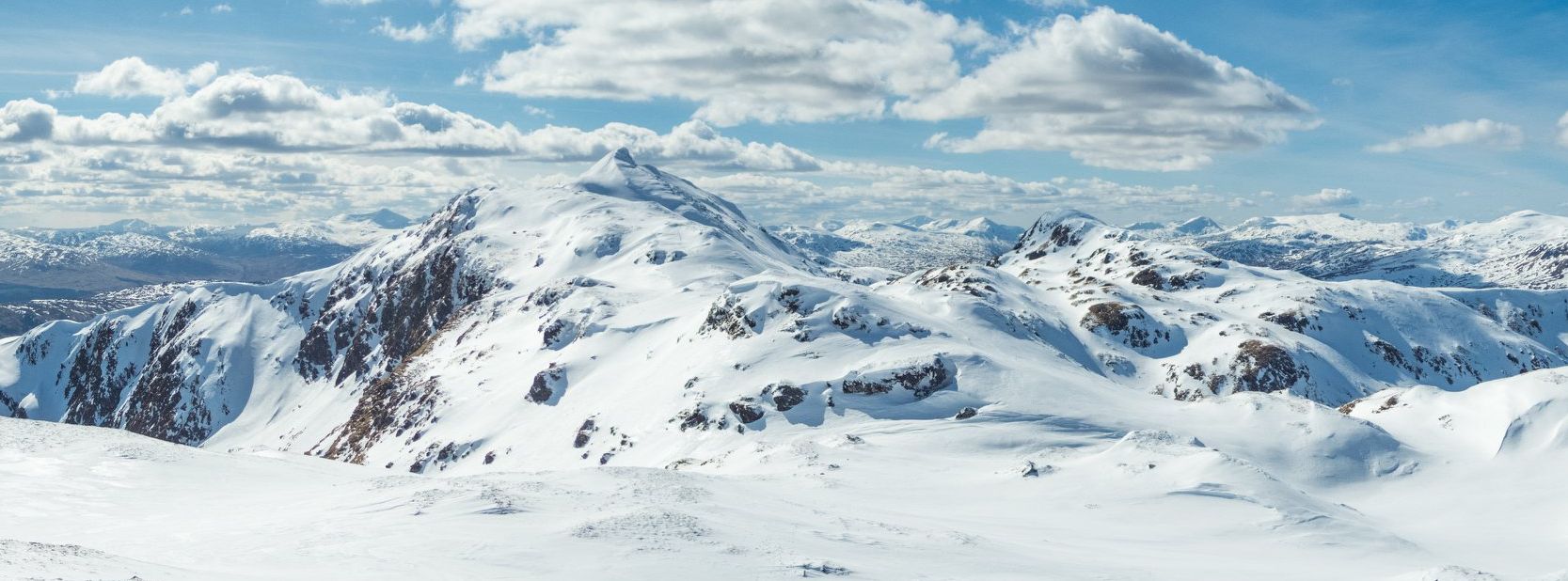
Beinn nan Eachan on the Tarmachan Ridge

Beinn nan Eachan

on the Tarmachan Ridge


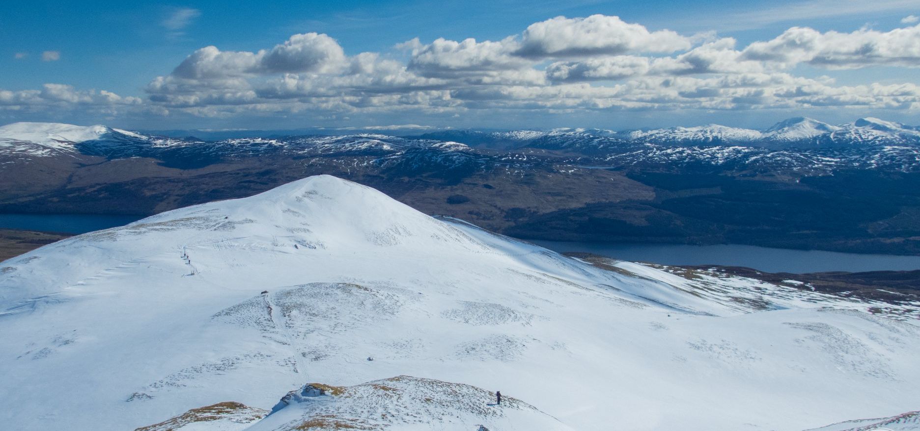
Carn Mairg on ascent of Meall Tarmachan

Carn Mairg

 on ascent of Meall Tarmachan


Beinn nan Eachan on the Tarmachan Ridge

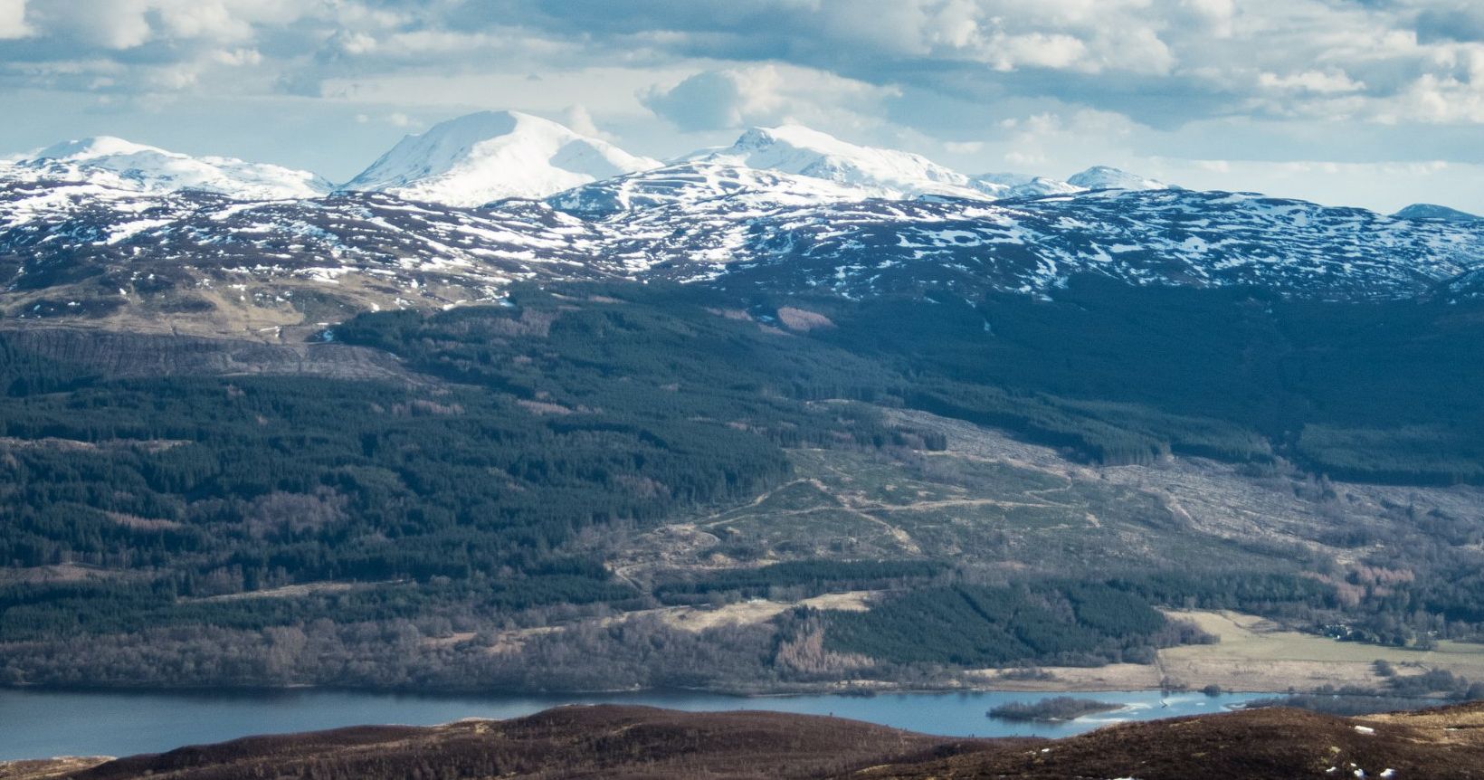
Ben Lawers Group

from Meall nan Tarmachan


Ben Lawyers Group from Meall nan Tarmachan

Ben Lawers Group

from Meall nan Tarmachan


Loch Tay and Creag Uchdag from Meall nan Tarmachan

Loch Tay and Creag Uchdag

from Meall nan Tarmachan


Meall na Fearna, Ben Vorlich, Stuc a'Chroin and Beinn Each above Loch Tay


Beinn nan Eachan on the Tarmachan Ridge

Beinn nan Eachan

on the Tarmachan Ridge


Beinn nan Eachan on the Tarmachan Ridge

Beinn nan Eachan

 on the Tarmachan Ridge


Beinn nan Eachan on the Tarmachan Ridge

Beinn nan Eachan

 on the Tarmachan Ridge


Ben Lawyers Group from Meall nan Tarmachan

Ben Lawers Group

from Meall nan Tarmachan


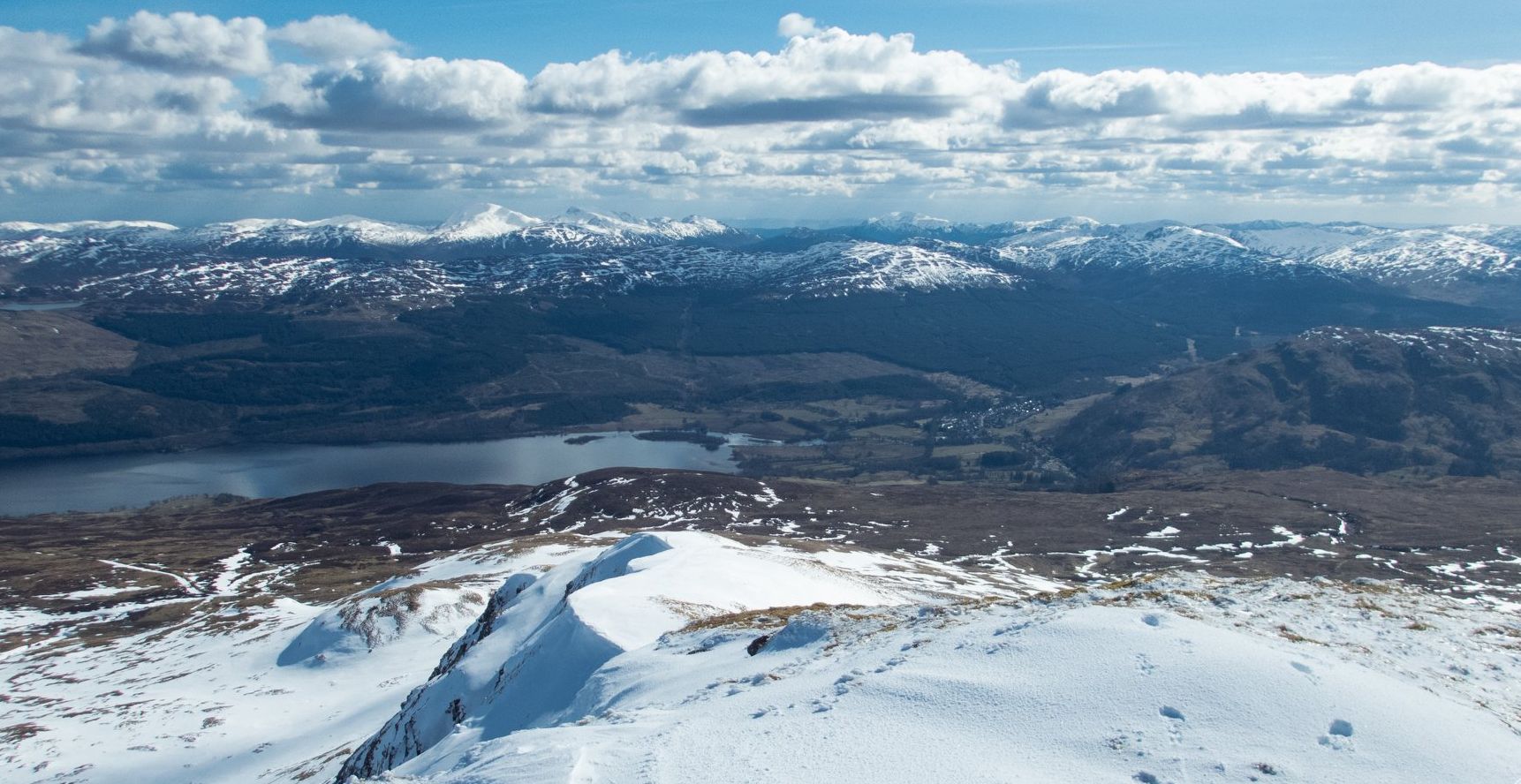
Loch Tay from Meall Tarmachan

Loch Tay

from
Meall Tarmachan

Loch Tay from Meall Tarmachan

Loch Tay

 from
Meall Tarmachan

Carn Mairg on ascent of Meall Tarmachan

Meall Tarmachan

Tarmachan Ridge from Coire Riadhailt

Tarmachan Ridge

from Coire Riadhailt


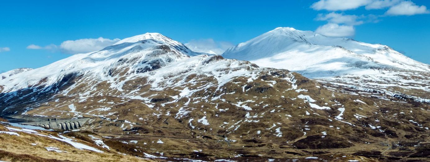
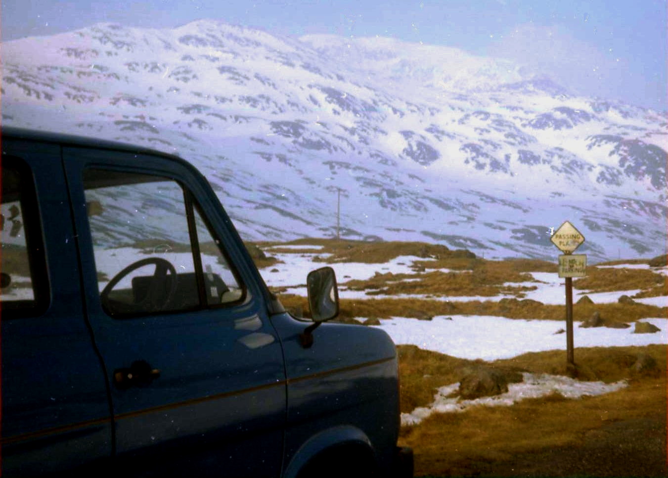
Meall nan Tarmachan above the Ben Lawyers access road

Meall nan Tarmachan

above the Ben Lawers access road


Meall nan Tarmachan above the Ben Lawyers access road

Meall nan Tarmachan

above the Ben Lawers access road


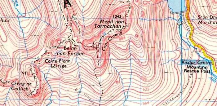
Map of Meall nan Tarmachan

Map of Meall nan Tarmachan


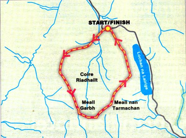
Route Map of Meall nan Tarmachan

Route Map of Meall nan Tarmachan


MEALL NAN TARMACHAN - ROUTE DESCRIPTION:

Location: Perth and Kinross
Map: OS Landranger 51
Distance: About 6 miles [10km]
Time: 4-6 hours
Grade: Moderate mountain walk with some scrambling

This approach leaves the Lochan na Lairige road on the high pass between Loch Tay and Glen Lyon and takes a line of least resistance up the hill’s SSE ridge to its 923m top. A quick descent then a steeper pull leads to the summit.
While some Munro-beggars simply visit the cairn and return the some way, most hillwalkers continue along Tarmachan's 5km-long ridge, a twisting promenade that traverses three other prominent tops. In wintry conditions snow can add an Alpine feel to the narrow sections of the ridge. It's a good day out, but it feels as though the direction of the ridge is carrying you further and further away from where you want to finish.
Once the delights of the ridge end, you have to drop into a dark corrie, pass a disused quarry and follow a bulldozed track for 3km back to the start, a dour climax to what is one of the most exhilarating little ridges in the Southern Highlands.
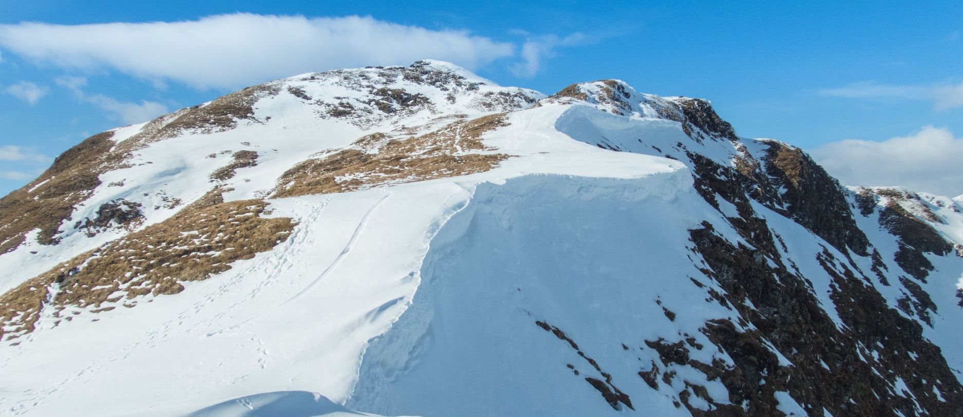
The mountain deserves better - an ascent via the ridge that bounds the western side of Coire Riadhailt, to the north-west of Meall nan Tarmachan.
By starting on the Glen Lyon side of the Lochan na Lairige road, close to the upper reaches of the Allt Baile a‘ Mhuilinn, you can reach the crest of this ridge in about 30 minutes. Once this heather thrutch is out of the way you can continue up glorious deer cropped turf slopes that climb gradually towards an obvious gap in the Tarmachan ridge between Meall Garbh and Beinn nan Eachan. lt’s a lovely ridge, narrowing as it climbs higher with rounded grassy slopes giving way to craggy, gully seared slopes with the steep western crags of Meall nan Tarmachan looking
increasingly dramatic across the void of Coire Riadhailt. To the west Meall Ghaordie rises impressively out of Glen Lochay and beyond it stretch the great hills of Breadalbane.
Following this easy approach ridge, things change dramatically when you reach the Tarmachan ridge itself. A confusion of high-level knolls and rockv knobs abound with the odd crag thrown in for good measure. You can, if you wish, wander along the south-western section of the ridge beyond Beinn nan Eachan before retracing your steps back to this point, in fact the best of the ridge now forms the middle section of the horseshoe walk.
steeply up the scrambly crag of Meall Garbh, over the narrow, airy summit and down to a broad bealach before the final rise to the Munro, Meall nan Tarmachan at 1044m / 3425ft. To the east rise the big tops of the Ben Lawers group, the highest hills in the
Southern Highlands, and to the south the rather uninspiring plateau on the south side of Loch Tay. But the real views are to the north, with Schiehallion lifting its head over the Carn Mairg group and the far outline of the blue Cairngorms.
It's north you head now, over a series of four steep little noses ( the difficulties can be avoided on the left ) and over the ridge of Creag an Lochain with steep gullies dropping into Lochan na Lairige. Easy grassy slopes then drop you down swiftly to the roadside and your starting point — a fine horseshoe ridge of about 10km and an infinitely more rewarding route than the more popular one from the National Trust for Scotland car park. lt’s well worth trying.

Route:
Start and finish on the Lochan na Lairige road at GR NN582417
Leave the road and head W to gain the N ridge of Meall Glas.
Follow this ridge S over Meall Ton Eich to reach the main ridge just E of Beinn nan Eachan.
Bear E and scramble to the Summit of Meall Garbh,
descend to a broad bealach and climb easy slopes to the summit of Meall nan Tarmachan.
Continue N, over four steep noses and the crest of Creag an Lochain.
Follow grassy slopes back to the road.


Meall nan Tarmachan Gallery Photo Gallery

<< BackSouthern Highlands : Next >>


Scotland Index :: Scottish Peaks

Isle of Skye :: Isle of Arran :: West Highland Way

Knoydart :: Glencoe :: Ben Nevis :: NW Highlands :: Eastern Highlands :: Central Highlands


Worldwide Mountaineering :: Adventure Travel :: Site Index

fb icon  google+ icon Linkedin icon  twitter


Guide Books & Maps - Scotland:-


Ben Lawyers & Glen Lyon - OS Explorer Map  Ben Lawyers & Glen Lyon OS Map

Arrochar Alps - Map Glasgow Popular Hills - Map West Highland Way - Map Loch Lomond North - Tyndrum, Crianlarich, Arrochar - OS Explorer Map Loch Lomond and Inverary OS Landranger Map

Isle of Arran OS Explorer Map Isle of Arran OS Landranger Map Arran - Official Tourist MapIona & Mull MapWestern Scotland & the Western Isles OS Road Map Northern Scotland OS Road MapSouthern Scotland OS Road Map


The High Mountains of Britain & Ireland

Munros Tables SMC The Munros - Scotland's Highest Mountains  Scotland - Lonely Planet  NW Highlands - SMC Guide  Exploring the Far NW of Scotland  Guide to Walks in NW Highlands

Walking in Scotland - Lonely Planet Mountain: Exploring Britain's High Places  National 3 Peaks Walk Scottish Highlands Hillwalking Guide The Scottish Islands Bouldering in Scotland

Central Highlands: Six Long Distance Walks West Highland Way: Official GuideWest Highland Way: Rucksac ReadersWest Highland Way: TrailblazerThe West Highland WayWest Highland Way: Footprint Map West Highland Way - Map West Highland Way - Map 100 Hillwalks around Glasgow

Pathfinder Guide: Fort William and Glen Coe Walks Rambler's Guide: Ben Nevis and Glen CoeGlencoe Rock & Ice Climbing The Munros: Scottish Mountaineering Club The Munros and Tops The Corbetts - SMC Munros & Corbetts Chart The High Mountains of Britain and Ireland Munro Almanac

The Munros - Scotland's highest mountains Call of the Corbetts Magic of the Munros Hamish's Mountain WalkThe Munros in WinterMy Scotland by Hamish MacInnes

Scottish Mountains - 50 Classic Routes50 More Routes on Scottish Mountains The High Mountains of Britain and Ireland Scotlands 100 Best Walks Scottish Mountains - 100 Best RoutesBig Walks of Great Britain Classic Walks in Britain & Ireland

Scottish Hill & Mountain Names Classic Mountain Scrambles in Scotland Classic Climbs - Central & Southern Highlands Mountaineering in Scotland and Undiscovered Scotland by W.H.MurrayMore Wilderness Walks Wilderness Walks Wilderness Walks 2 - Video Ski Mountaineering in Scotland

Ski Touring in ScotlandScrambles in Lochaber Rock Climbing in Scotland Rock Climbing SkillsThe FACE: Six Great Climbing Adventures Ben Nevis: Rock & Ice ClimbsGreat Snow & Ice Climbs of the British Isles100 Best Routes on Scottish Mountains One Man's Mountains - Tom Patey

A Mountaineer's Tale - W.H.MurrayDougal Haston: Philosophy of Risk The Glens of Rannoch Southern Highlands - MapNorthern Highlands Central Highlands West Highlands Central Highlands SMCNW Highlands SMC

Scotland - Lonely PlanetScotland's Highlands & Islands - Lonley Planet Scotland's Highlands & Islands - Rough Guide Highlands & Islands of Scotland - Hidden Places Rough Guide ScotlandScottish Highlands & Islands - Rough Guide Rough Guide: Scotland Lonely Planet, Walking in ScotlandLonely Planet - Walking in Britain

50 Walks in the Scottish Highlands & Islands 100 Walks in ScotlandVisit Scotland - Touring Guide Scotland: Where to Stay - Hotels & Guest Houses Scotland: Where to Stay - Bed & Breakfast Hillwalker: The MunrosHillwalker: The Corbetts

Weather for Hillwakers & Climbers Mountain Weather Guide to the Weather Weather: Collins Gem Hillwalking Handbook for Mountain Leaders Hillwalkers Manual Hillwalkers Guide to Mountaineering First Aid on Mountains


Google Analytics


Google Analytics


extremetracking
 eXTReMe Tracker


extremetracking
Sitelock caingram.com
SiteLock
Sitelock
Sitelock caingram.info
SiteLock
Sitelock