  |
Images of ScotlandStirling |
  |
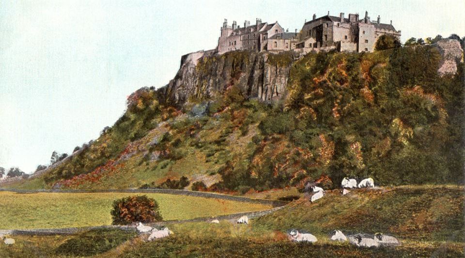
Stirling
Castle
Stirling is the largest city in Central Scotland. The city is clustered around a large fortress and medieval old-town. The city is at the mouth of the River Forth and historically strategically important as the "Gateway to the Highlands" between the Scottish Lowlands and Scottish Highlands |
 |
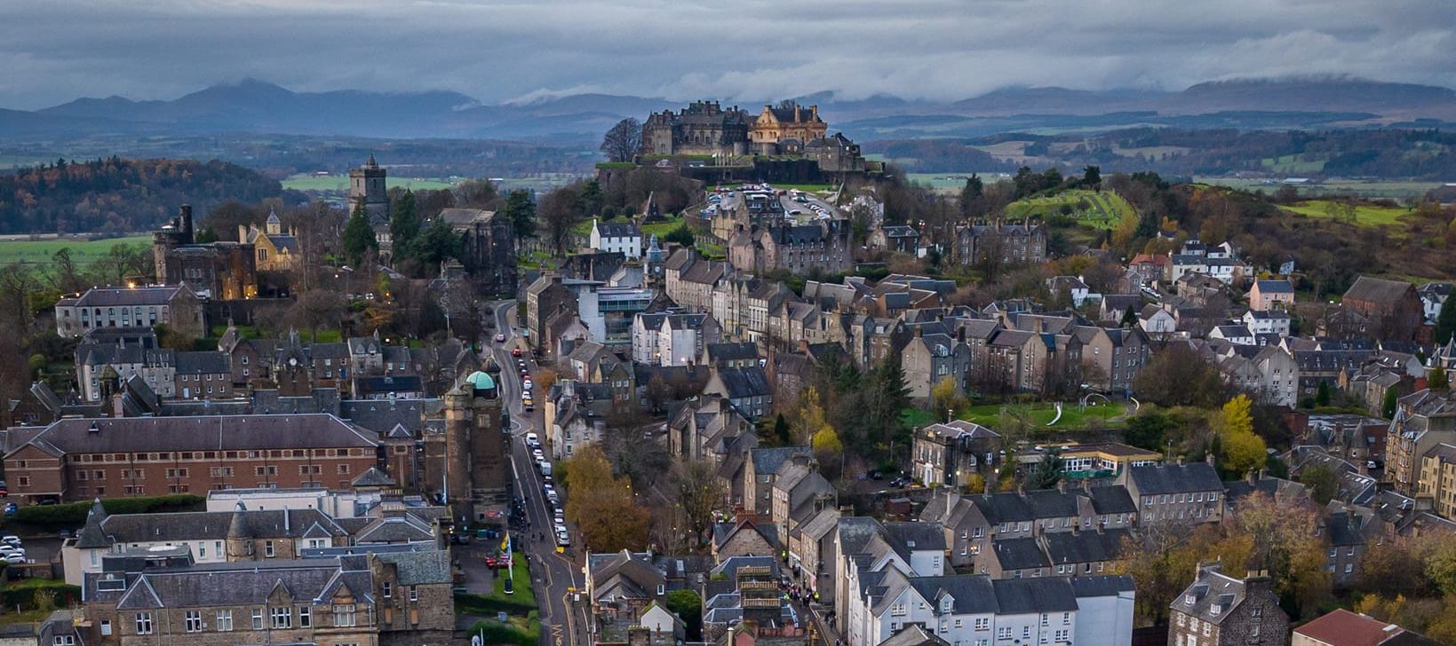 Aerial view of Stirling |
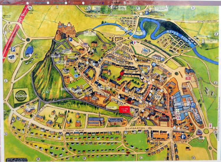 Map of
the Old Town of Stirling
( Note: Click here or on above for large format copy ) |
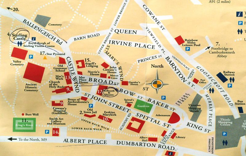 Map of
the Old Town of Stirling
|
The
Council Chambers in Stirling
This is a category "B" listed building |
|
Red
Sandstone Building
in the Corn Exchange Road |
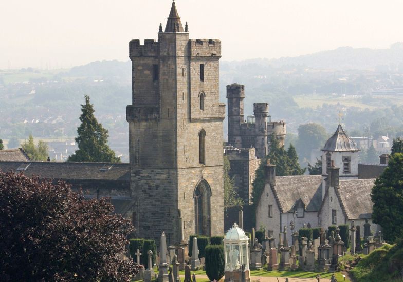 Church
of the Holy Rude
The Church of the Holy Rude is the medieval parish church of Stirling. The church was founded in 1129 but the earliest part of the present church dates from the 15th century. As such it is the second oldest building in Stirling after Stirling Castle |
|
Albert
Halls
Since its opening over a hundred years ago the Albert Halls have been at the heart of the town's artistic and civic life |
|
Albert
Halls
on Dumbarton Road |
|
Holy
Trinity Church
in Dumbarton Road ( Opened 1878 ) This is a category "A" listed building |
|
Dumbarton
Road in Stirling
Council Chambers, Central Library, Allan Park South Church |
|
The
Old Town Walls
above Dumbarton Road in Stirling |
|
Murray
Place in Stirling
|
|
The
Old Bridge at Stirling
|
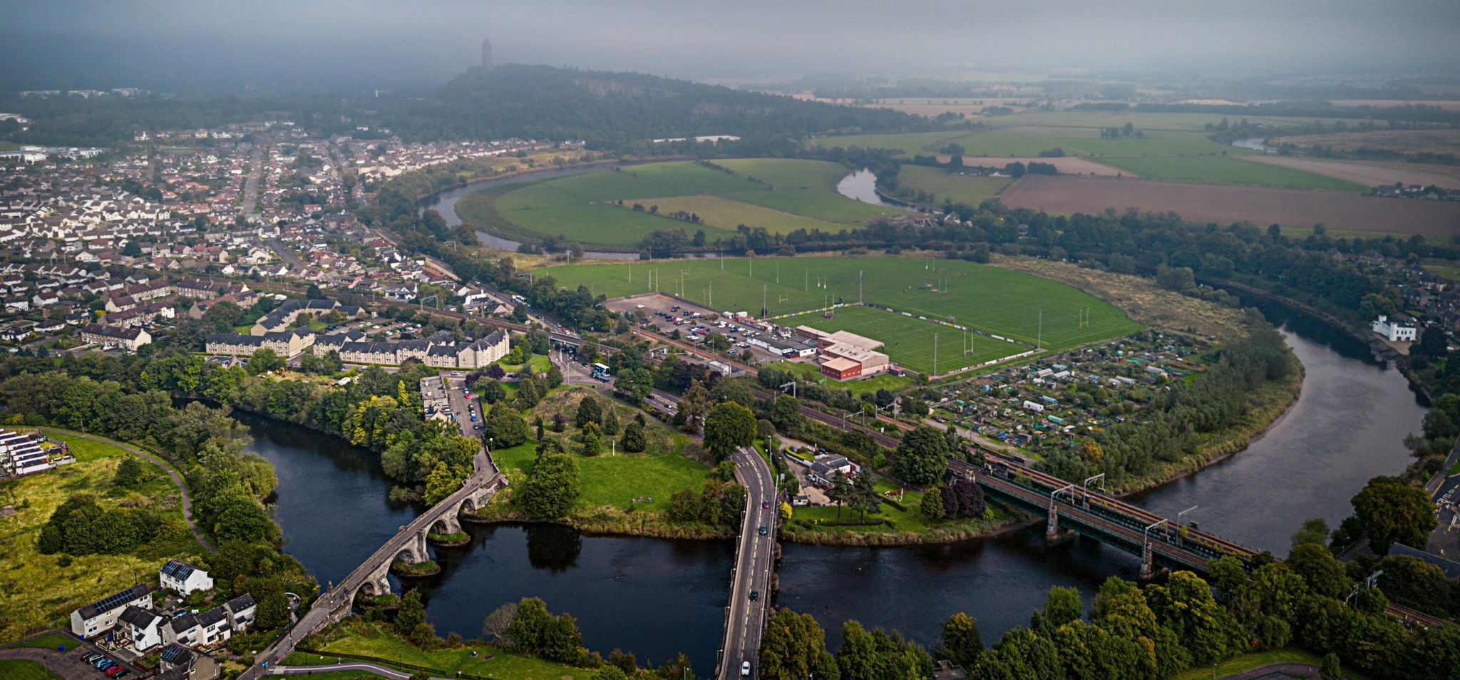 Aerial view of River Forth at Stirling |
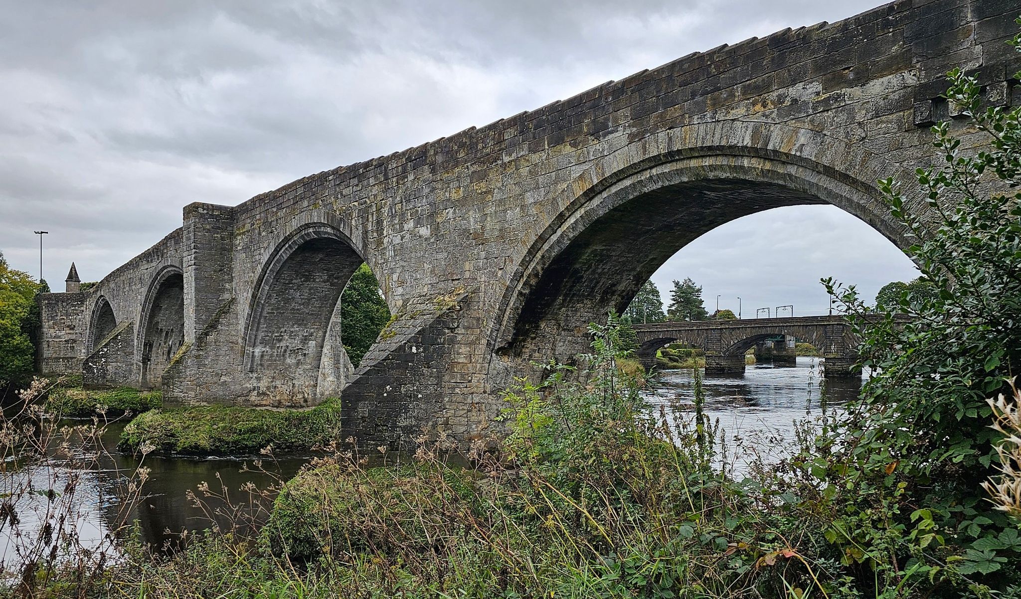 The
Old Bridge at Stirling
|
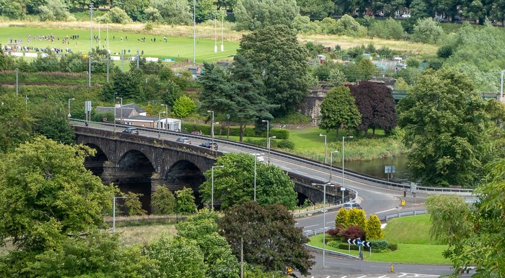 The
Old Bridge at Stirling
|
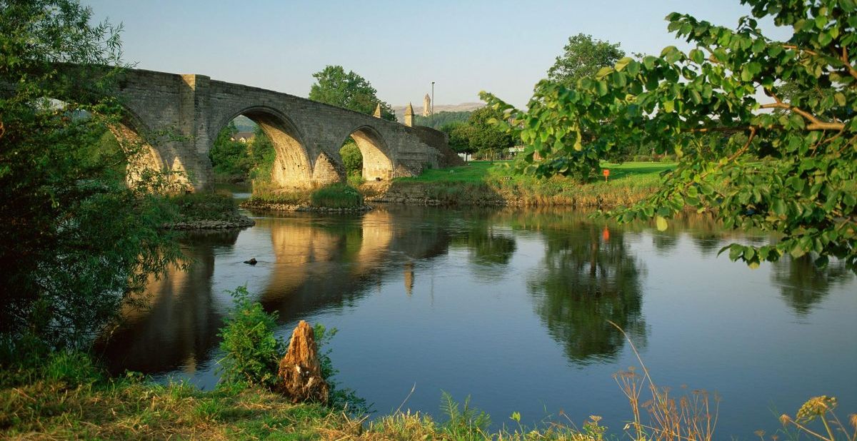 The
Old Bridge at Stirling
|
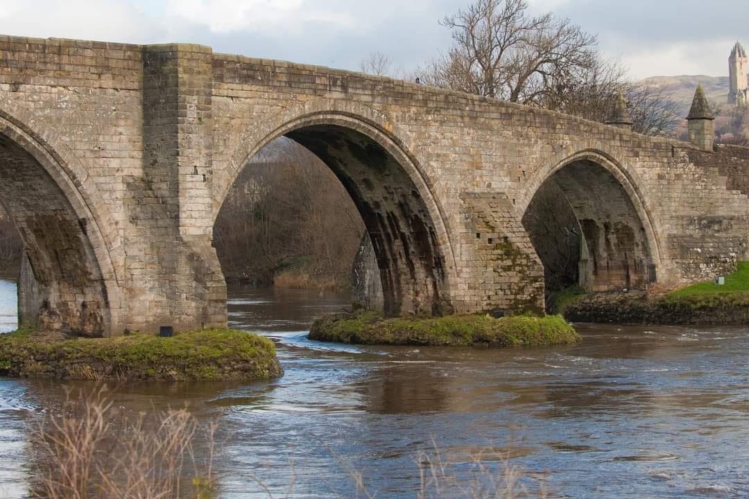 The
Old Bridge at Stirling
|
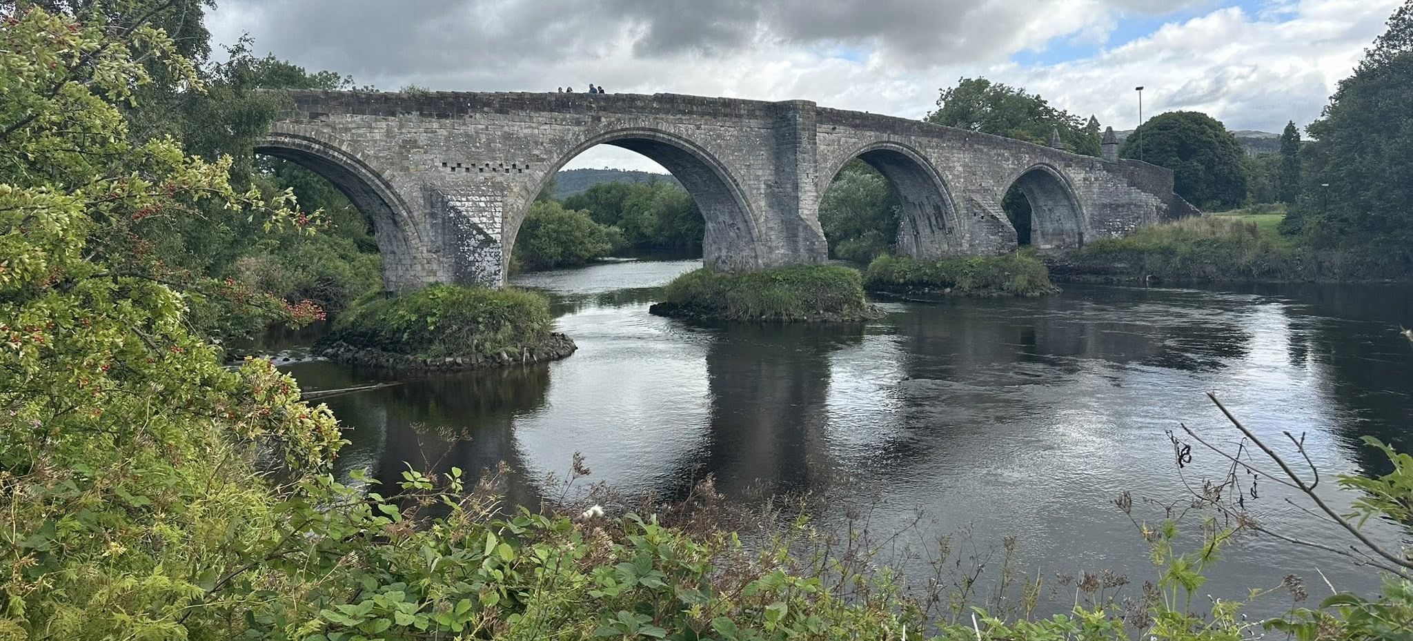 The
Old Bridge at Stirling
|
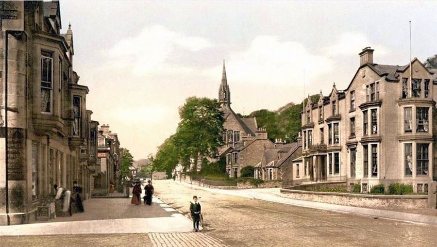 Old
Stirling
|
 |
 |
 |
 |
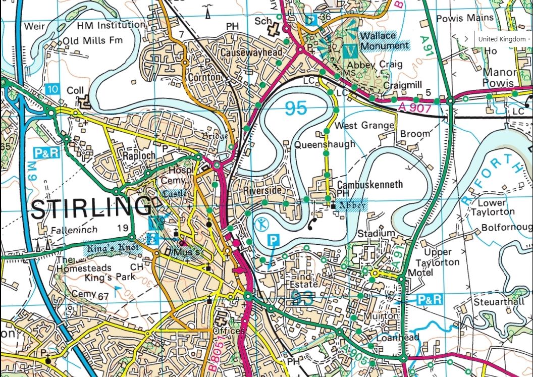 Map of
Stirling
|
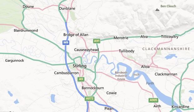 Location
Map for Stirling and the Ochil Hills
|
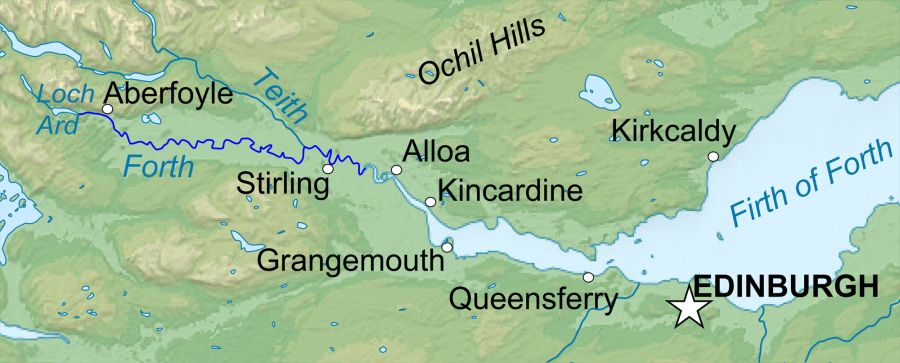 Map of
the River Forth
|
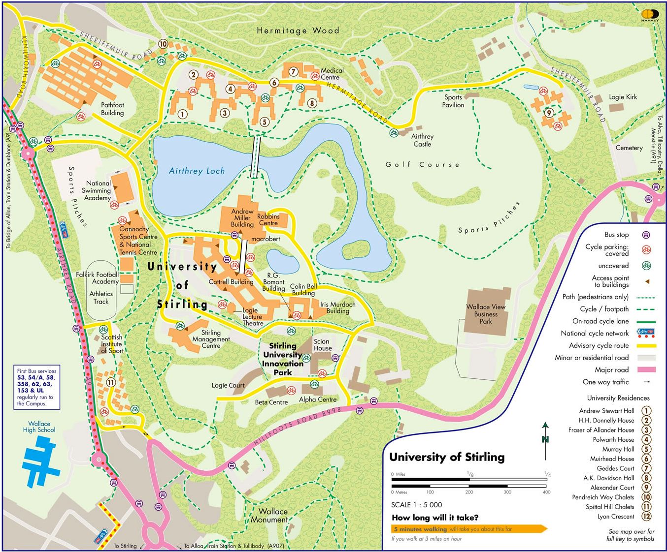 Map of
Stirling University
|

Glencoe | Ben Nevis | Knoydart | Isle of Skye | Isle of Arran
The Eastern Highlands | The Central Highlands | The Southern Highlands | The NW Highlands