The Munros - Scotland's Highest Mountains The Corbetts - SMC

The Scottish Highlands


Ben Ledi & Ben Vane
The High Mountains of Britain & Ireland Southern Highlands - Map

 Photographs of an ascent

of the two Corbetts Ben Ledi and Ben Vane

above Loch Lubnaig in the Trossachs Region

of the Southern Highlands of Scotland

Ben Ledi Circuit


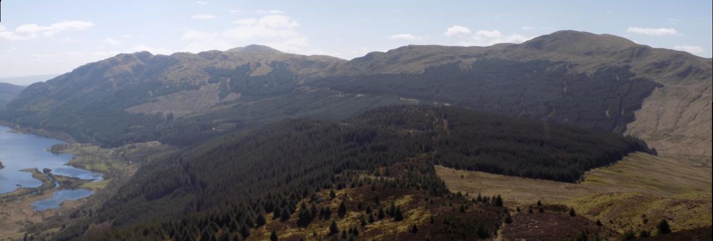
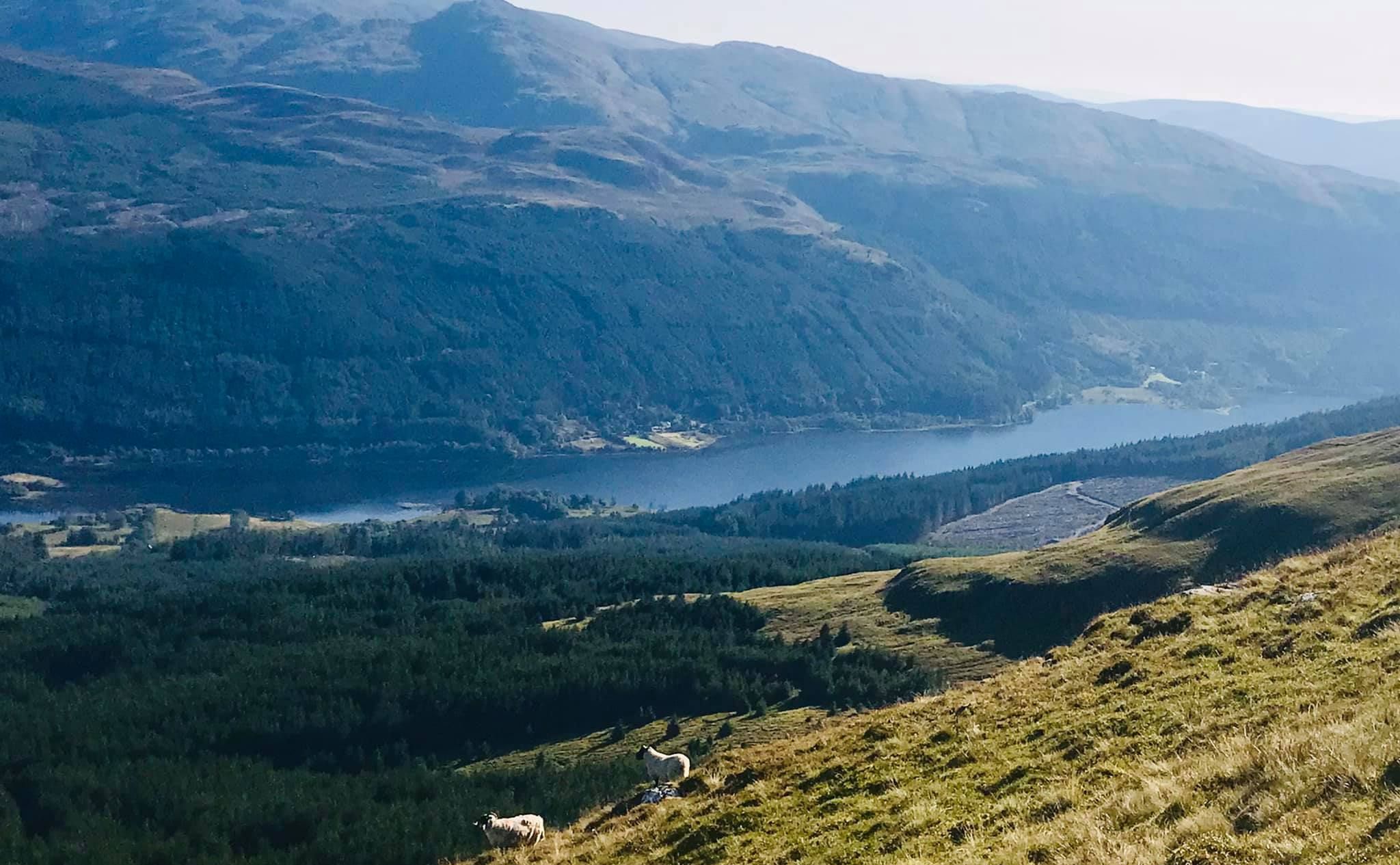
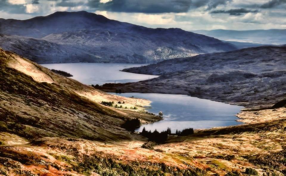
Glen Finglas Reservoir

Glen Finglas Reservoir


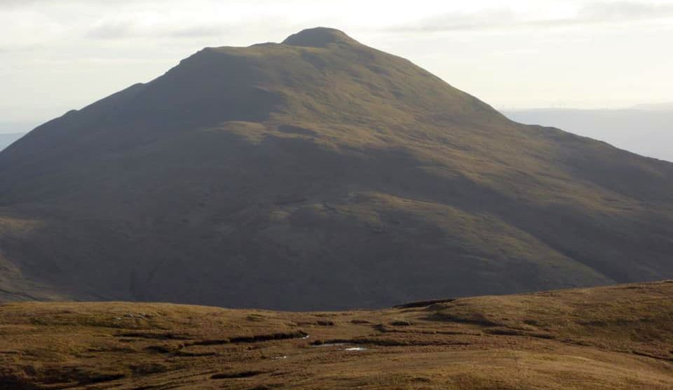
Ben Vane

Ben Vane ( 2694ft )

- a Corbett


Ben Vane above the Allt Gleanne nam Meann on ascent of Meall Cala

Ben Vane above the Allt Gleanne nam Meann

on ascent of Meall Cala


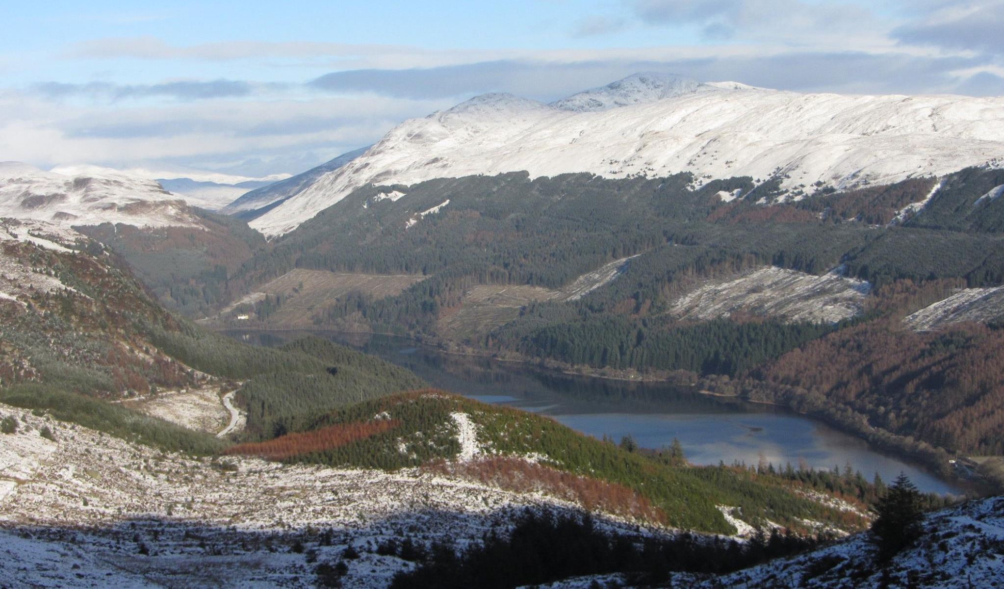
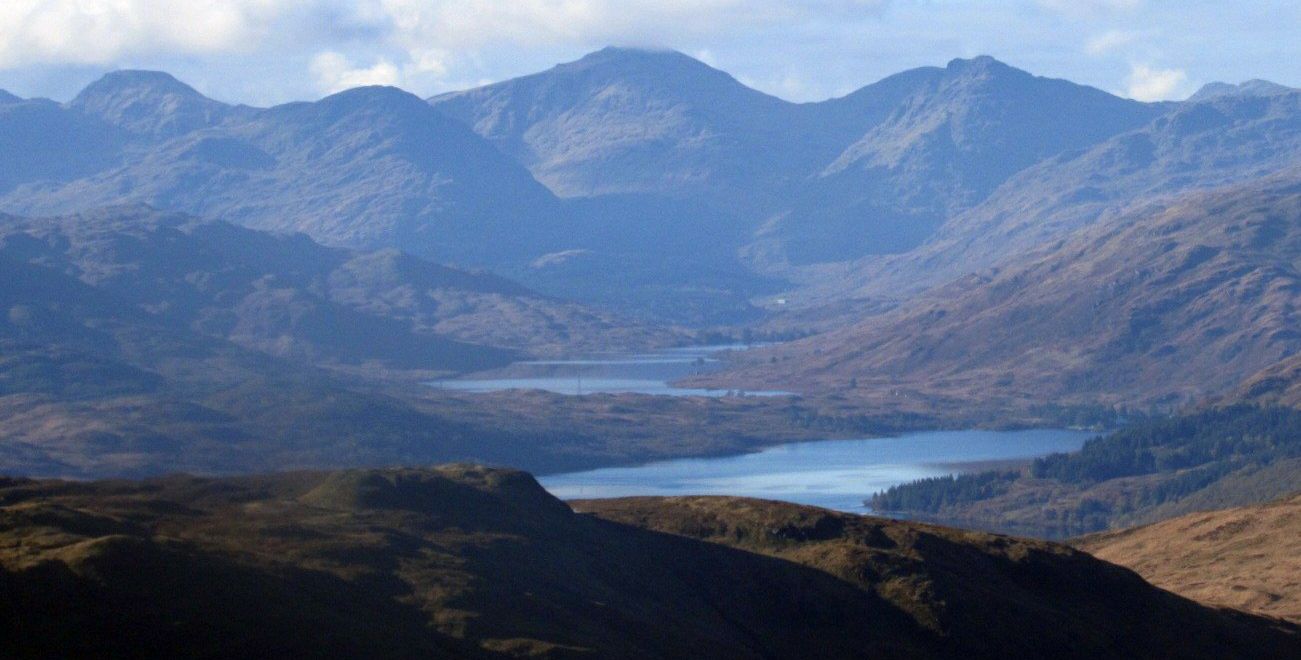
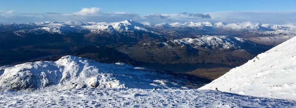
Glen Finglas Reservoir and Ben Venue and Ben Lomond from Ben Ledi

Glen Finglas Reservoir

 and Ben Venue and Ben Lomond

from Ben Ledi ( 2883ft ) - a Corbett


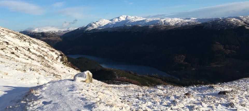
Glen Finglas Reservoir and Ben Lomond from Ben Ledi

Glen Finglas Reservoir

 and Ben Lomond

 from Ben Ledi


Lochan nan Corp and Ben Ledi

Lochan nan Corp

 and Ben Ledi
( 2883ft )

 - a Corbett


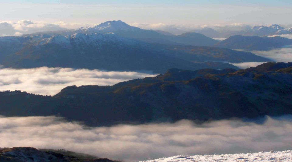
Ben Vorlich, Stuc a Chroin and Beinn Eich from ridge from Ben Ledi to Ben Vane

Ben Vorlich, Stuc a Chroin

and Beinn Eich

from ridge from Ben Ledi to Ben Vane


Ridge from Ben Ledi to Ben Vane from Beinn an t-Sithein


Ben Vane from Beinn an t-Sithein


Ben Ledi and Beinn Each from Stuc a Chroin

Ben Ledi and Beinn Each

from Stuc a Chroin


Ben Ledi above Loch Lubnaig from Beinn Each

Ben Ledi above Loch Lubnaig from Beinn Each


Beinn Each and Stuc a Chroin from Ben Ledi

 Beinn Each and Stuc a Chroin

from Ben Ledi


Beinn Each and Stuc a Chroin from Ben Ledi

 Beinn Each and Stuc a Chroin

from Ben Ledi


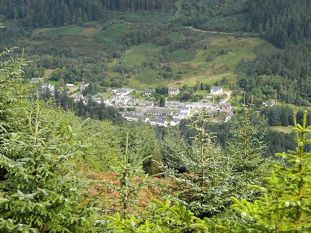
Strathyre and Loch Lubnaig

Strathyre and Loch Lubnaig


Strathyre Village

Strathyre Village


Loch Lubnaig from Ben Vane

Loch Lubnaig

from Ben Vane


Stob Binnein and Ben More from Ben Vane

Stob Binnein and Ben More

from Ben Vane


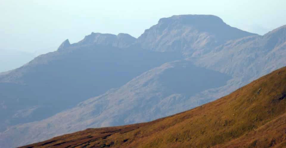
Arrochar Alps from Ben Vane


Stobinian and Ben More from summit cairn on Ben Vane

Stob Binnein and Ben More

from summit cairn on Ben Vane


Ben Ledi from Ben Vane

Ben Ledi ( 2883ft )

 from Ben Vane


Ben Ledi

Ben Ledi ( 2883ft )


Mt. Baruntse from above Makalu Advanced Base Camp © C.A.Ingram:

Ben Ledi ( 2883ft )


Ben Vane and Ben Ledi from Trig Point on Stob Fear-tomhais

Ben Vane and Ben Ledi

 from Trig Point

on Stob Fear-tomhais


Stobinian and Ben More from summit cairn on Ben Vane

Ben Ledi above Loch Venacher

 from Beinn Dearg


Ben Ledi beyond River Teith in Callander

Ben Ledi beyond River Teith

 in Callander


Loch Arklet, Loch Katrine and Ben Ledi from Ben Vane

Loch Arklet, Loch Katrine

and 
Ben Ledi

 from 
Ben Vane


Arrochar Alps from Ben Ledi

Arrochar Alps

from Ben Ledi


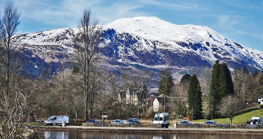
Ben Ledi from Callander

Ben Ledi

from Callander


Arrochar Alps from Ben Ledi


Arrochar Alps from Ben Ledi


Arrochar Alps above Loch Lomond from Ben Lomond

Ben Lomond and Arrochar Alps

from Ben Ledi


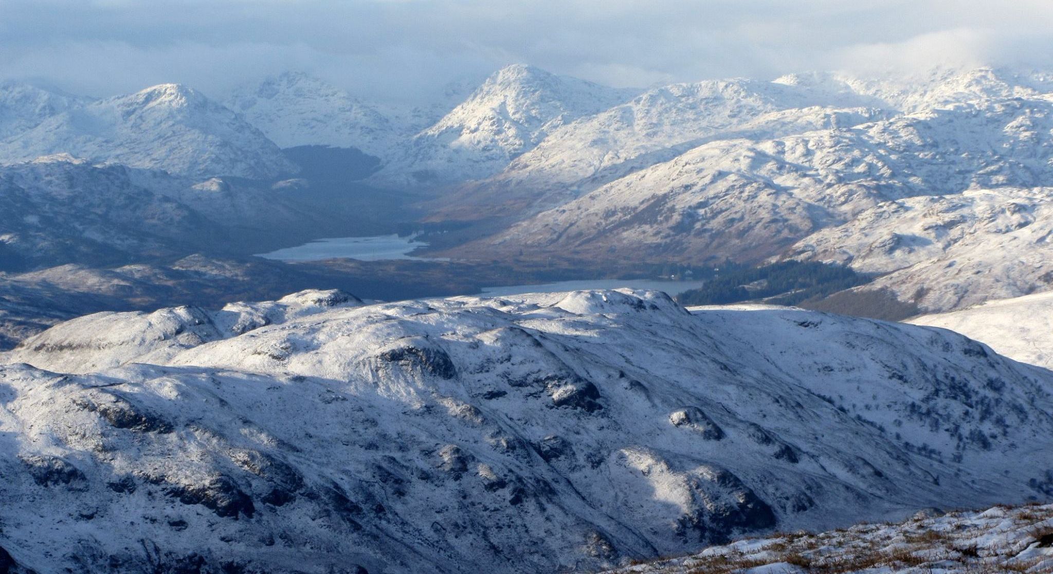
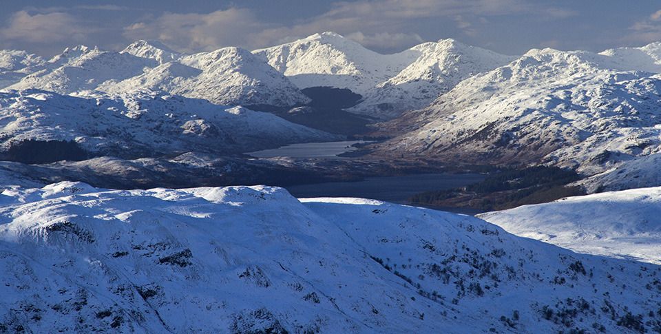
Ben Lomond from Ben Ledi in winter

Ben Lomond

from Ben Ledi


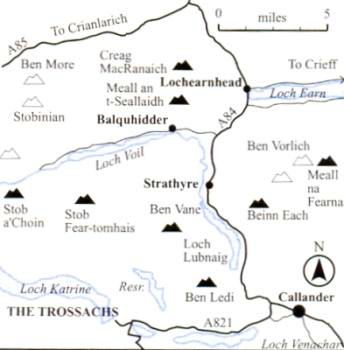
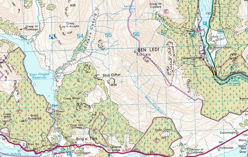
Location Map for Ben Ledi and Ben Vane

Location Map for Ben Ledi

 and Ben Vane


Map for Ben Ledi and Ben Vane

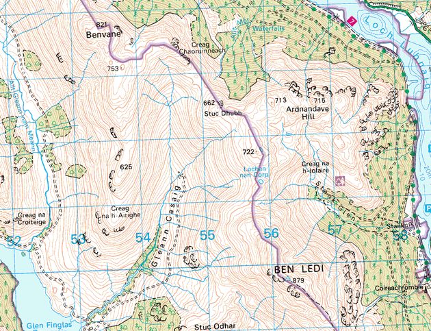
Map of Ben Ledi and Ben Vane


Map of Ben Ledi

Map of Ben Ledi


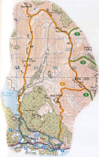
Route Map for Ben Ledi and Ben Vane

Route Map for Ben Ledi and Ben Vane

( Note: Click here or on map for large format copy )


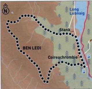
Route Map Description for Ben Ledi

Route Map for Ben Ledi


BEN LEDI CIRCUIT - ROUTE DESCRIPTION:

Location: Callander
Map: OS Landranger 57  ( GR 587 094 )
Distance: 6.5 miles ( 10.5 km )
Time: 3 hours 30 minutes
Terrain: tracks and paths

Ben Ledi is one of the most often climbed hills in the Southern Highlands. Two car parks serve the ascent path. The first is accessed from the A81 north of the Pass of Leny by turning left over a metal bridge signposted to Strathyre Forest Cabins. The second is a large layby on the A84 just north of the previous turning.
The signposted path starts from the first car park: continue to cross a burn and exit from the forestry plantation on to a mountain path below the impressively craggy south-east face. Ascend the corrie beside the burn. The path starts to level out at the col, then turns right to gain the broad ridge leading towards the summit.
Occasional fence posts lead to a final pull to the summit trig point via a rocky ridge surmounted by a metal cross which commemorates the life of Sgt Harry Lawrie killed in a helicopter crash during a mountain rescue on Ben More in the winter of 1987.
The summit offers extensive views to Stirling Castle and the Wallace Monument; from here you can return by the route of ascent or continue round and descend the Stank Glen.
To continue, descend north-west along the summit ridge and follow an old fenceline down the rock-strewn hillside. At the col below the lochan, turn right and follow a muddy path to arrive at a fence and stile back into forestry plantation land. A good path leads clown to a junction with a way marked circular path. Turn right and continue down the glen past a junction with the left-hand loop path to arrive at a track. Cross over and go down through the forest past a large waterfall to emerge at a bend on a lower track. A path on the left-hand side continues down and right to regain the track. Follow the road rightwards back to the start.


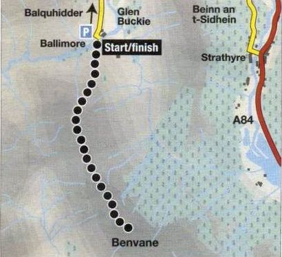
Route Map for Ben Vane

Route Map for Ben Vane


BEN VANE - ROUTE DESCRIPTION:


Location: Balquidder
Map: OS Landranger 57 (GR529175 )
Distance: 5.5 miles ( 9km )
Time: 3.5hours
Terrain:| rough hill path

Ben Vane perhaps sees more ascents from the south via Brig O' Turk, or Ben Ledi. However, the ascent from the road end at Ballimore in Glen Buckie to the south of Balquhidder is the quickest and arguably the most scenic: perfect for a winter's day.
From Balquhiddar take the unclassified minor road south past the head of Loch Voil, going right at a fork. and leave the car in a small parking area just before the entrance to the farm at Baltimore. The road surface is potholed and uneven so care should be taken.
Walk across the bridge over the Calair Burn and at the right-of-way signpost follow the rough path up to the right. This is signposted to Brig O‘Turk via Glen Finglas. After 200 metres or so, go through the right hand of two gates then break off from the right-of-way and climb uphill beside a fence and a tiny burn on a rough all-terrain vehicle track. Where the fence goes left, carry straight on up, passing well to the west of a small forestry plantation. Continue up the slight ridge, then swing on to the main northern ridge of Ben Vane.
Height is gained quickly and fine views open up across smaller neighbouring hills to the bigger Mtmros beyond. With the summit now in sight ahead, continue along this easy ridge beside an old boundary fence which comes up from the west, then make the final steep climb on to the summit of Ben Vane ( 821m ). Return by the route of ascent. It is possible to vary the return by cutting down left beside the fence to join the Brig o’ Turk footpath at a small bealach. However, this is perhaps more of a summer diversion and in winter the direct return, as well as being surer and quicker. has the benefit of maintaining the fine views to the north.


Stuc Odhar ( 674m ) - an outlier of Ben Ledi

Stuc Odhar ( 674m ) - an outlier of Ben Ledi


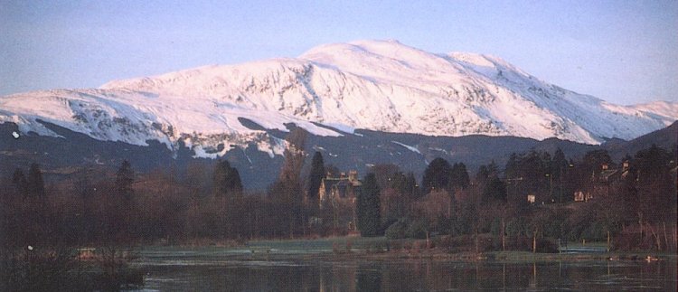
Ben Ledi in winter

Ben Ledi ( 2883ft ) in winter

Ben Ledi is a Corbett in the Trossachs

some 8Km to the NW of Callander


Stuc a Chroin from Meall an t-Seallaidh

Ben Ledi from Meall an t-Seallaidh


Ben Ledi above Loch Lubnaig on ascent of Beinn Each

Ben Ledi above Loch Lubnaig

on ascent of Beinn Each


Ben Ledi above Loch Lubnaig

Ben Ledi above Loch Lubnaig


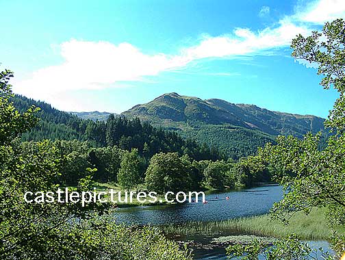
Ben Ledi in summer

Art Print by David Rankin from Photogold

Ben Ledi

in

summer

Ben Ledi Circuit Gallery Photo Gallery :: Ben Ledi & Ben Vane Gallery Photo Gallery

<< BackSouthern Highlands Index : Next >>


Scotland Index :: Scotland Walks

Isle of Skye :: Isle of Arran

Knoydart :: Glencoe :: Ben Nevis :: NW Highlands :: Eastern Highlands :: Central Highlands :: Southern Highlands


Worldwide Mountaineering :: Adventure Travel :: Site Index

fb icon  google+ icon Linkedin icon  twitter


Books & Maps - Scotland:-


Arrochar Alps - Map Glasgow Popular Hills - Map West Highland Way - Map Loch Lomond North - Tyndrum, Crianlarich, Arrochar - OS Explorer Map Loch Lomond and Inverary OS Landranger Map

Isle of Arran OS Explorer Map Isle of Arran OS Landranger Map Arran - Official Tourist MapIona & Mull MapWestern Scotland & the Western Isles OS Road Map Northern Scotland OS Road MapSouthern Scotland OS Road Map


Loch Lomond & Trossachs - 25 Walks  Loch Lomond & Trossachs NP - Vol 1 - West  Loch Lomond & Trossachs NP - Vol 2 - East

The High Mountains of Britain & Ireland  Munros Tables SMC  The Munros - Scotland's Highest Mountains  Scotland - Lonely Planet  NW Highlands - SMC Guide  Exploring the Far NW of Scotland  Guide to Walks in NW Highlands

Walking in Scotland - Lonely Planet Mountain: Exploring Britain's High Places  National 3 Peaks Walk Scottish Highlands Hillwalking Guide The Scottish Islands Bouldering in Scotland

Central Highlands: Six Long Distance Walks West Highland Way: Official GuideWest Highland Way: Rucksac ReadersWest Highland Way: TrailblazerThe West Highland WayWest Highland Way: Footprint MapWest Highland Way - Map West Highland Way - Map 100 Hillwalks around Glasgow

Pathfinder Guide: Fort William and Glen Coe Walks Rambler's Guide: Ben Nevis and Glen CoeGlencoe Rock & Ice Climbing The Munros: Scottish Mountaineering Club The Munros and Tops The Corbetts - SMC Munros & Corbetts Chart The High Mountains of Britain and Ireland Munro Almanac

The Munros - Scotland's highest mountains Call of the Corbetts Magic of the Munros Hamish's Mountain WalkThe Munros in WinterMy Scotland by Hamish MacInnes

Scottish Mountains - 50 Classic Routes50 More Routes on Scottish Mountains The High Mountains of Britain and Ireland Scotlands 100 Best Walks Scottish Mountains - 100 Best RoutesBig Walks of Great Britain Classic Walks in Britain & Ireland

Scottish Hill & Mountain Names Classic Mountain Scrambles in Scotland Classic Climbs - Central & Southern Highlands Mountaineering in Scotland and Undiscovered Scotland by W.H.MurrayMore Wilderness Walks Wilderness Walks Wilderness Walks 2 - Video Ski Mountaineering in Scotland

Ski Touring in ScotlandScrambles in Lochaber Rock Climbing in Scotland Rock Climbing SkillsThe FACE: Six Great Climbing Adventures Ben Nevis: Rock & Ice ClimbsGreat Snow & Ice Climbs of the British Isles100 Best Routes on Scottish Mountains One Man's Mountains - Tom Patey

A Mountaineer's Tale - W.H.MurrayDougal Haston: Philosophy of RiskThe Glens of Rannoch Southern Highlands - MapNorthern Highlands Central Highlands West Highlands Central Highlands SMCNW Highlands SMC

Scotland - Lonely PlanetScotland's Highlands & Islands - Lonley Planet Scotland's Highlands & Islands - Rough Guide Highlands & Islands of Scotland - Hidden Places Rough Guide ScotlandScottish Highlands & Islands - Rough Guide Rough Guide: Scotland Lonely Planet, Walking in ScotlandLonely Planet - Walking in Britain

50 Walks in the Scottish Highlands & Islands 100 Walks in ScotlandVisit Scotland - Touring Guide Scotland: Where to Stay - Hotels & Guest Houses Scotland: Where to Stay - Bed & Breakfast Hillwalker: The MunrosHillwalker: The Corbetts

Weather for Hillwakers & Climbers Mountain Weather Guide to the Weather Weather: Collins Gem Hillwalking Handbook for Mountain Leaders Hillwalkers Manual Hillwalkers Guide to Mountaineering First Aid on Mountains


Google Analytics


Google Analytics

extremetracking
 eXTReMe Tracker


extremetracking
Sitelock caingram.com
SiteLock
Sitelock
Sitelock caingram.info
SiteLock
Sitelock